Features
Castle becomes Hachigata Castle Park
Today, the ruins of Hachigata Castle have widely been developed as Hachigata Castle Park of about 5 hectare.s Many people visit to see the historical artifacts on display in the castle, as well as enjoy walking and relaxing in a nature setting. For example, there is a big cherry blossom tree which has recently become popular, called “Ujikuni Sakura (Cherry Blossom)”, named after the lord of the castle, Ujikuni Hojo. I recommend you allow yourself enough time to walk around the park to check the important artifacts of the castle and hopefully discover more interesting things to you. In this article, let us simulate walking from the outer southern edge of the castle (the outside of the Third Enclosure) through the center (the Main Enclosure) to the tip (near the meeting point of the rivers).

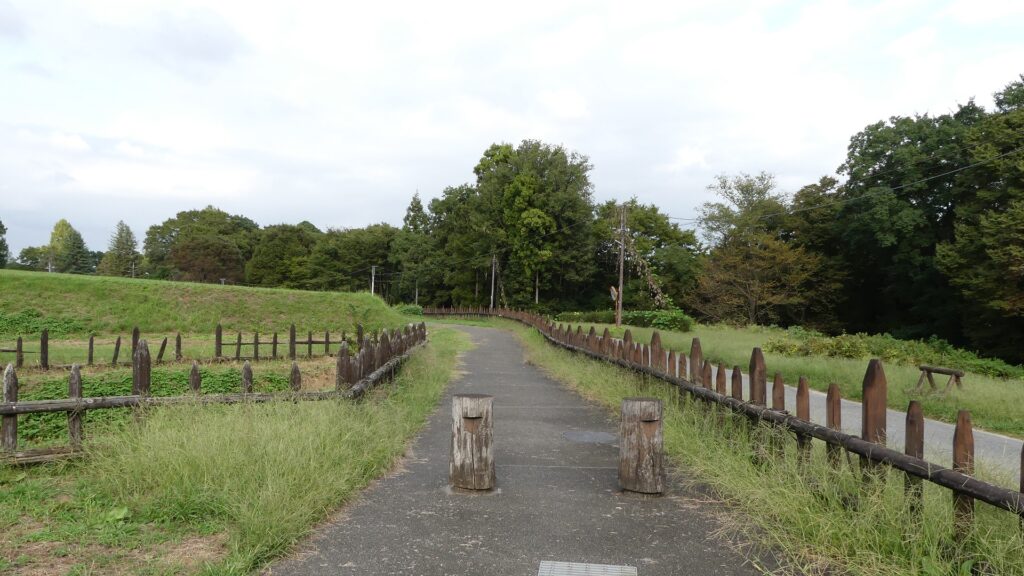
The front of the castle is near the railway crossing between the path and the Hachiko Line. The path after the crossing will divide into three – the centeral paved one which visitors usually go, the right one which was the Main Route, and the left one which leads to the Third Enclosure. The first route is convenient for casual visitors, however, we will take the second and third this time, in order to follow the original routes as closely as possible.
The map around the castle, the red broken line shows the route similar to the original Main Route and the blue broken line shows the route to the Third Enclosure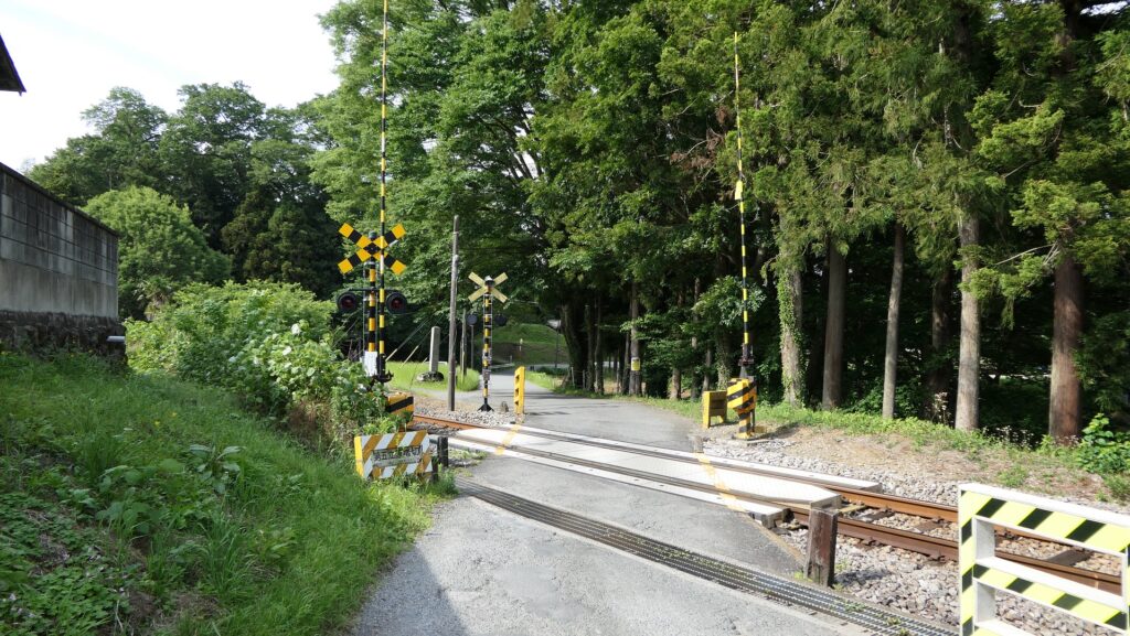
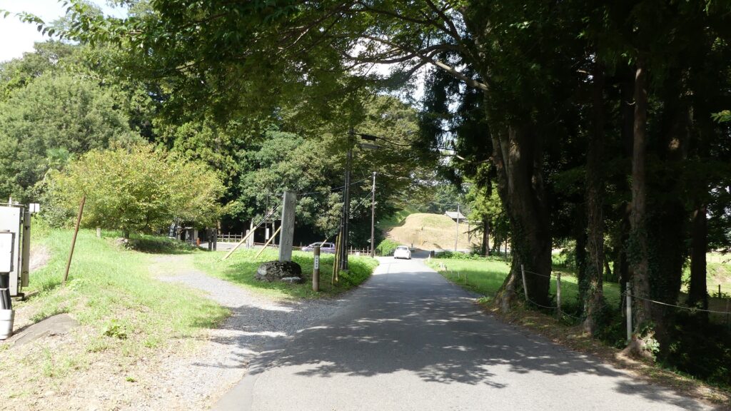
Going on Main Route
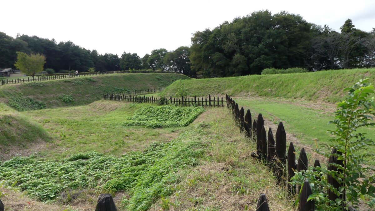
The right Main Route goes over some large deep moats beside the Main Route Enclosure, which could have been defensive.
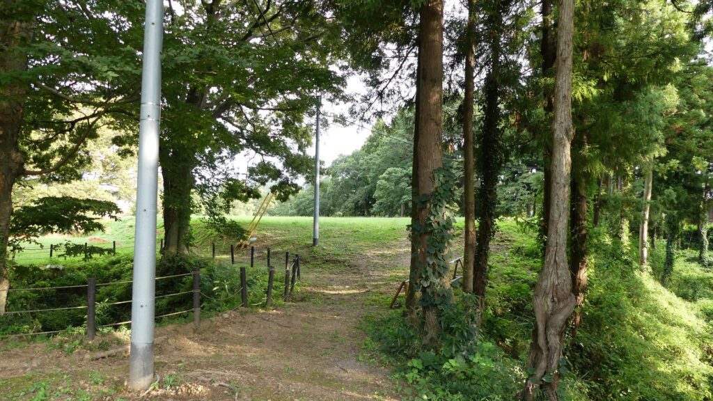
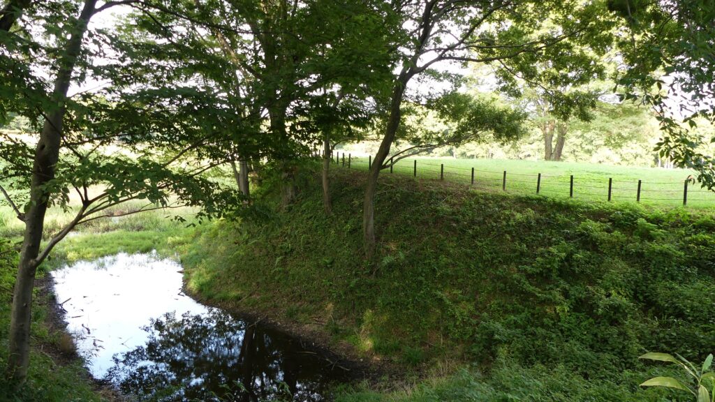
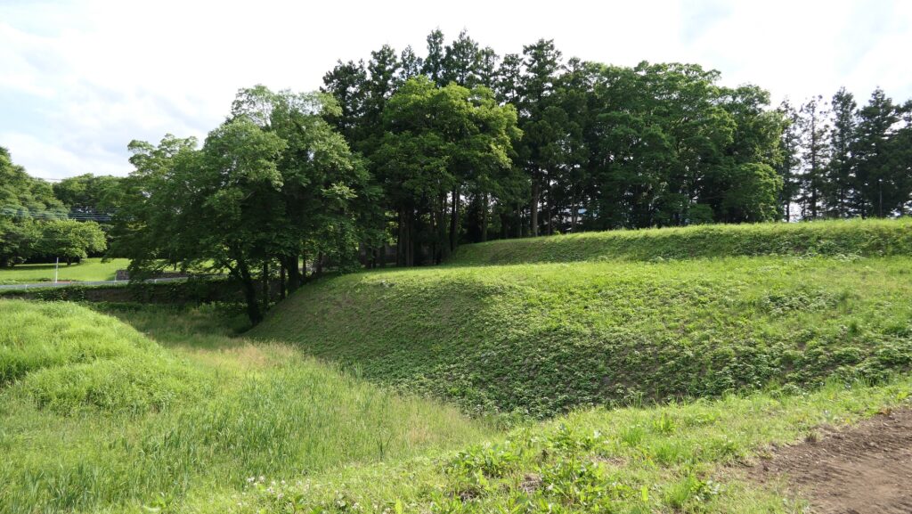
The route next turns left at a square Umadashi enclosure, which was the key to the castle’s defenses. From there, it goes towards the center of the castle and finally reaches the border of the Third and then Second Enclosures.
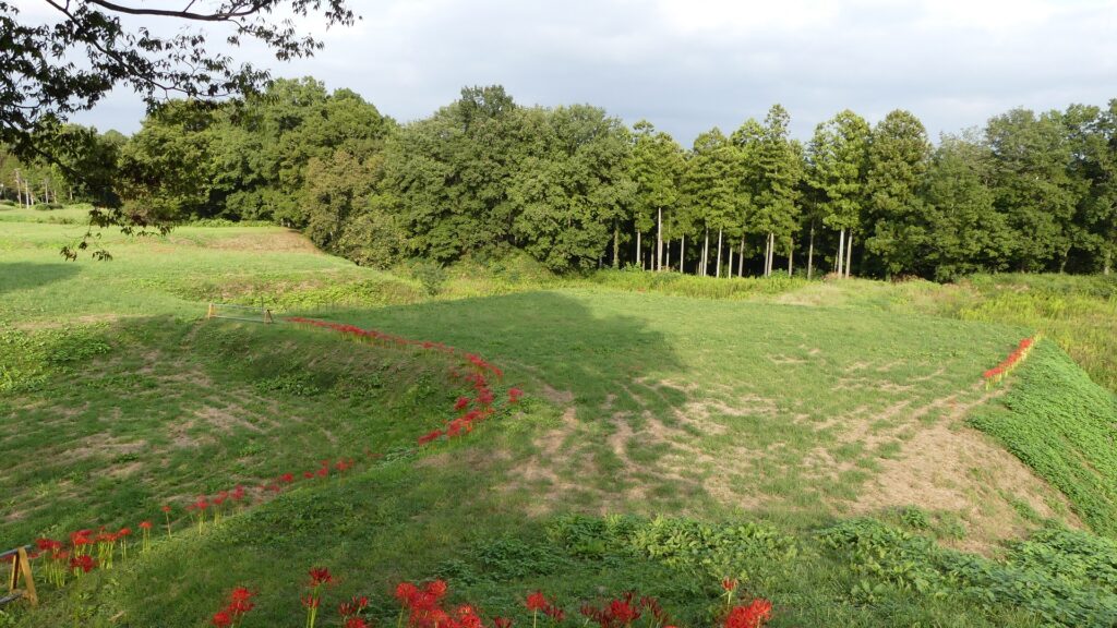

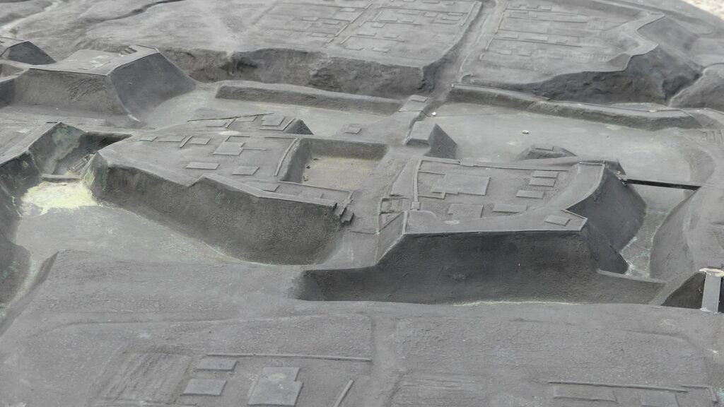
You can see another Umadashi enclosure from the outside at the point, but originally, the route would have passed through it.


Going to Third Enclosure via Suwa Enclosure
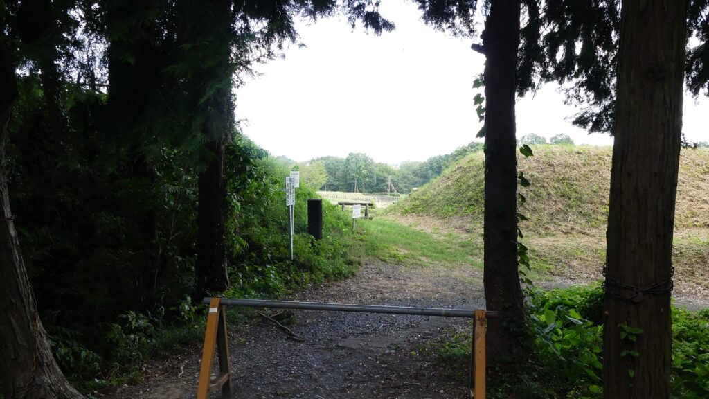
The left route is currently the approach to Suwa Shrine, also called the Suwa Enclosure. It is a square patch of land, still surrounded by earthen walls and deep dry moats, which are obviously a type of Umadashi system.
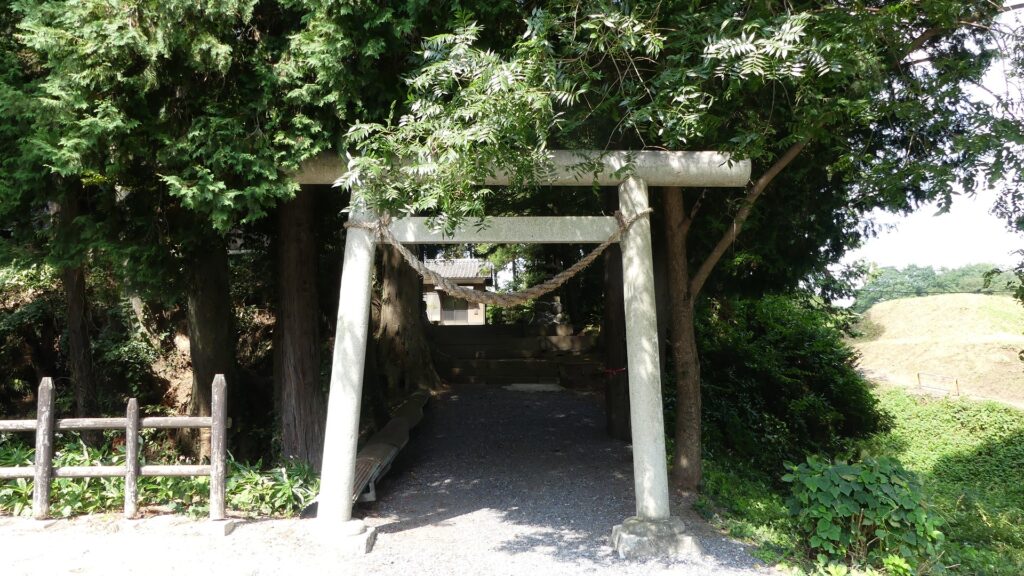
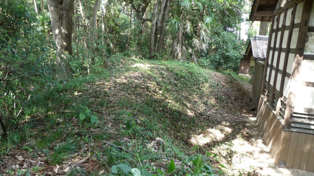
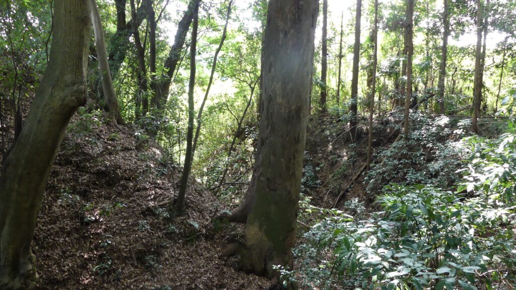
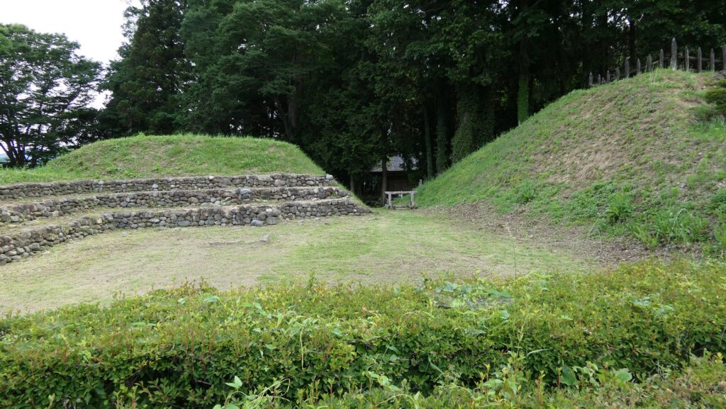
Another narrow path connects one side of the Umadashi to the entrance of the Third Enclosure, which looks very defensive. These are typical of the Hachigata Castle defense system.

Third Enclosure as Important Site
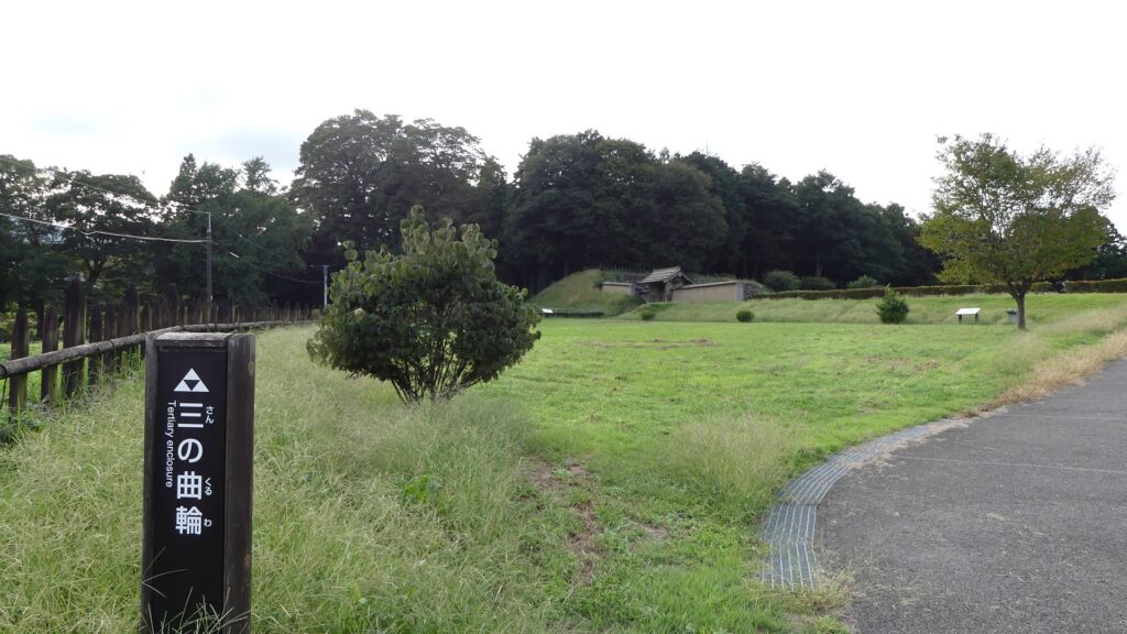
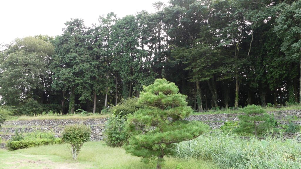
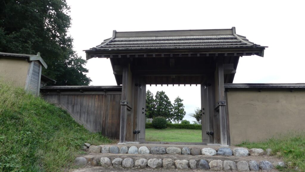
The Third Enclosure is the highest point of the castle. Tall, thick earthen walls, supported by stone mounds inside, (looking like stone walls), surround the enclosure. These structures were restored in the present time based on excavation records. A four-legged gate was also restored based on the research. Other evidence of buildings like halls has not been found so far, but the enclosure must have been important for the castle.
To be continued in “Hachigata Castle Part3”
Back to “Hachigata Castle Part1”

