Features
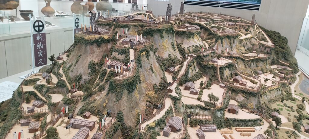
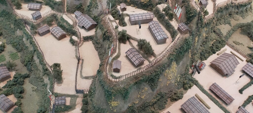
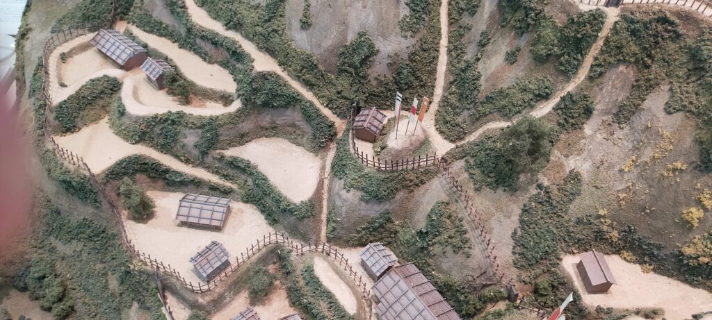
Great miniature model of Castle Ruins
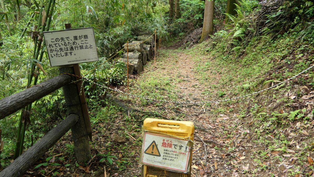
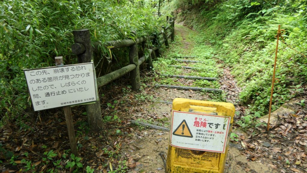
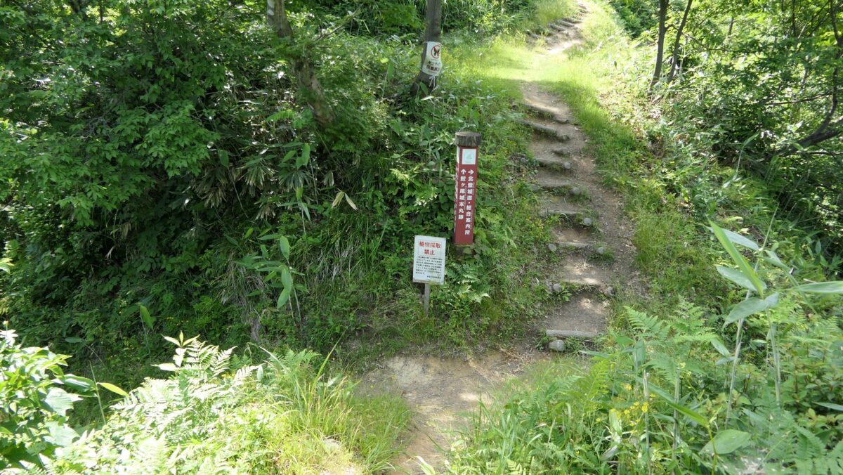
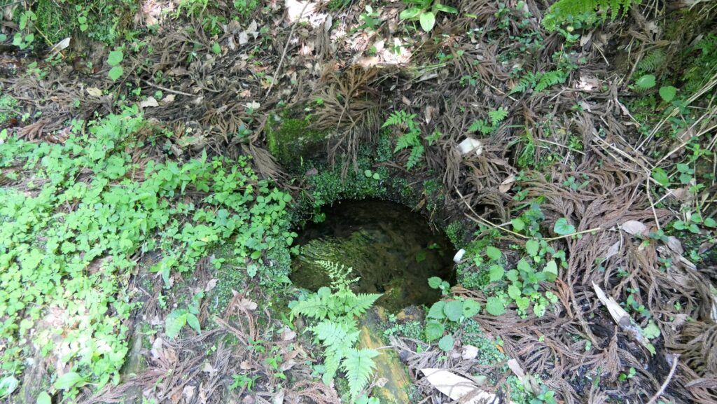
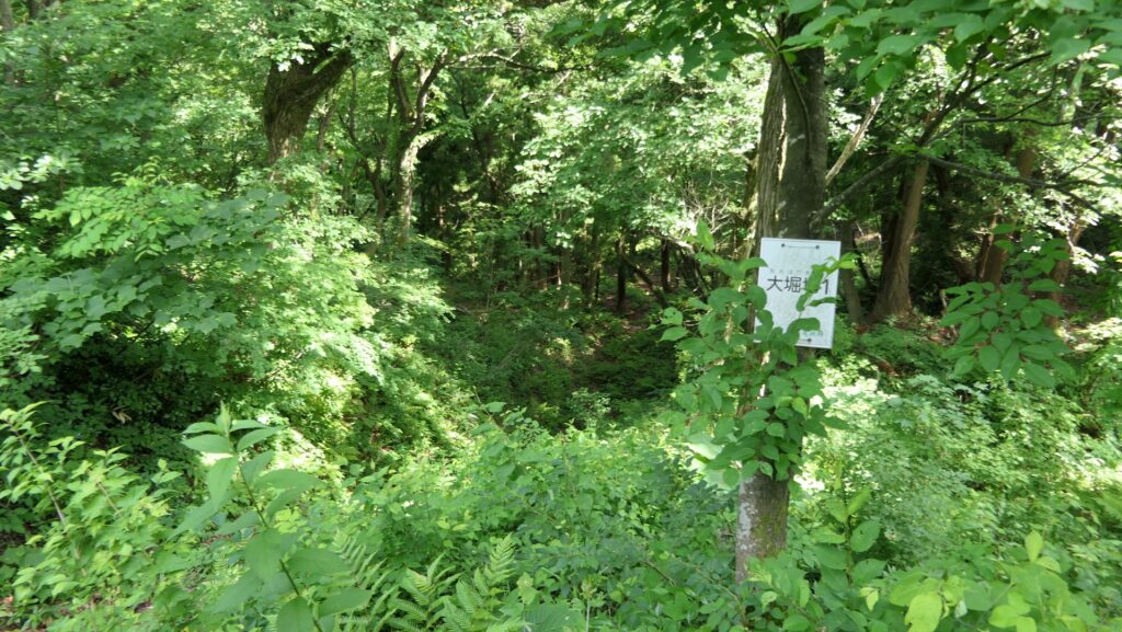
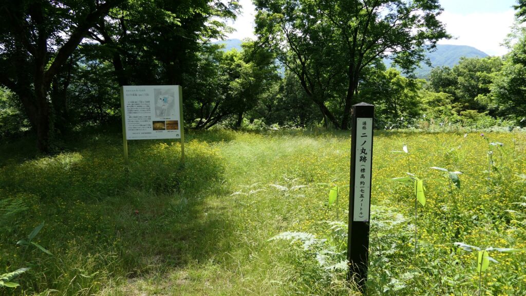
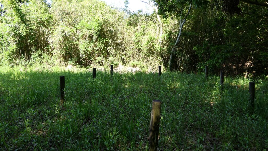
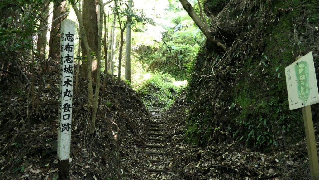
Today, only the main portion of the ruins of Shibushi Castle called Uchijo has been developed for general visitors. The ruins had been reclaimed by nature after its abandonment, so the officials installed wooden footpaths and guide signboards so that visitors can walk safely and not to lose their way.
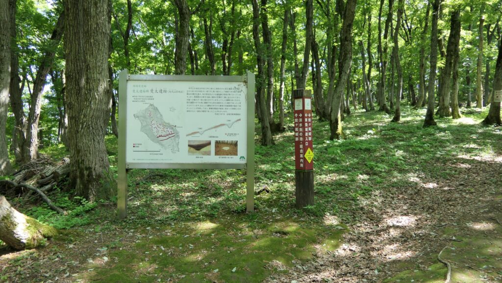
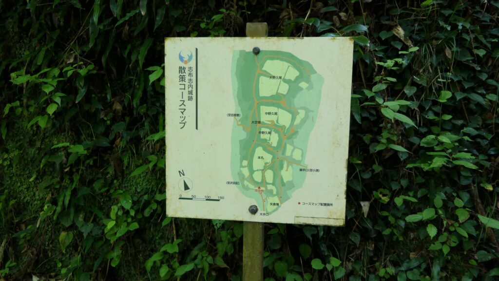
The map around the castle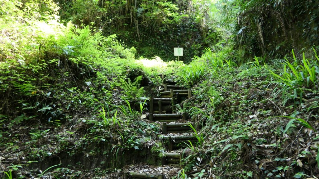
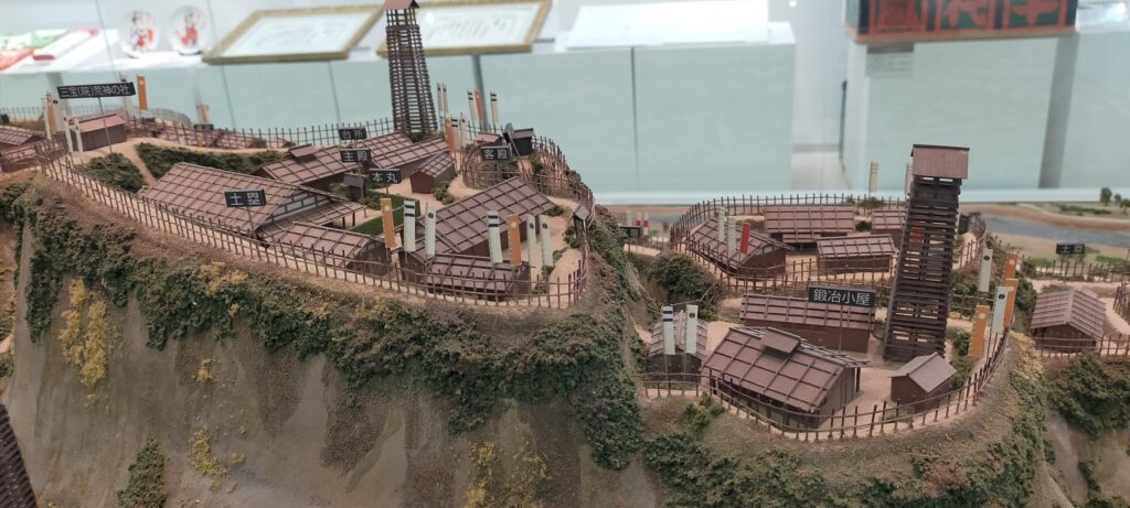
In addition, I recommend visiting Shibushi City Center for Archaeological operations to see the great miniature model of the Uchijo portion before visiting the real Uchijo. It is a 1/200 scale model which is about 2m long and 1.25m wide, very large for a miniature model, but it is also precisely crafted. You can see how deeply and vertically the dry moats are cut and how the many enclosures equipped with buildings and fences are built by looking at it. If you also check the point of the Main Route and the Back Route of the model, you will understand how they worked well when you visit the real site.
Going beside outstanding Turret Place to Main Route
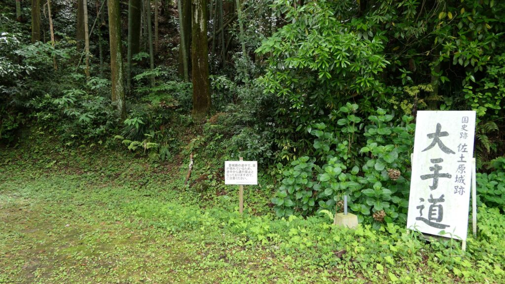
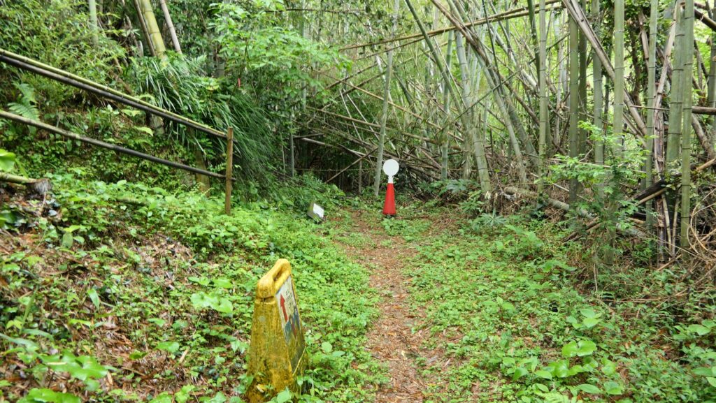
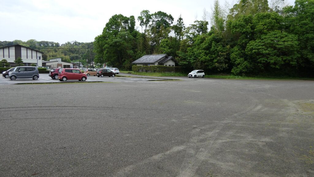
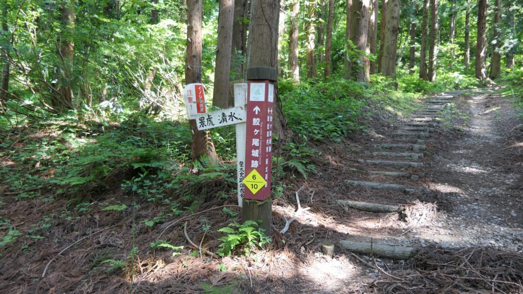
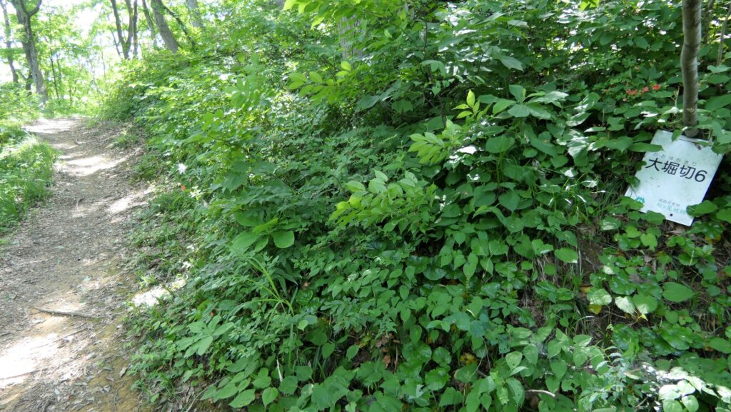
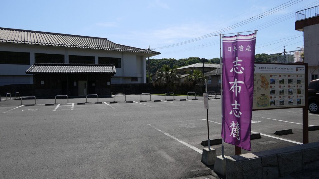
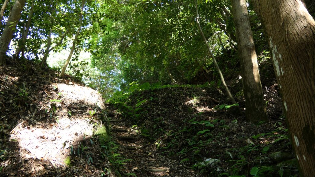
The ruins of Uchijo are on the mountain behind Shibushi Primary School. If you drive to the ruins, you can park at a parking lot for visitors on the opposite side of the school. From the parking lot, go straight on the street beside it, if you want to visit the Main Route of the ruins. Otherwise, if you turn left at the intersection in front of the parking lot, you will reach the Back Route. The signpost leads you to the very narrow path to the Main Route between the school and old houses.


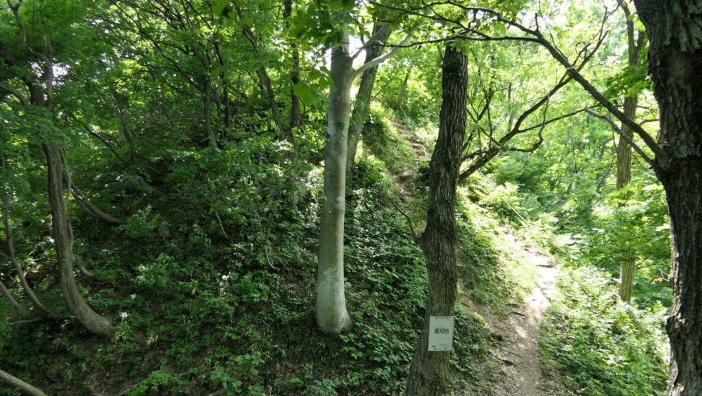
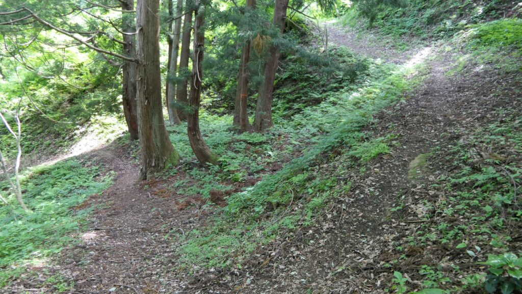
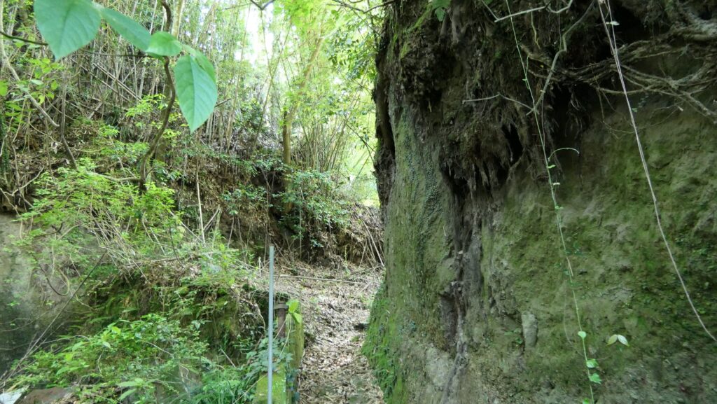
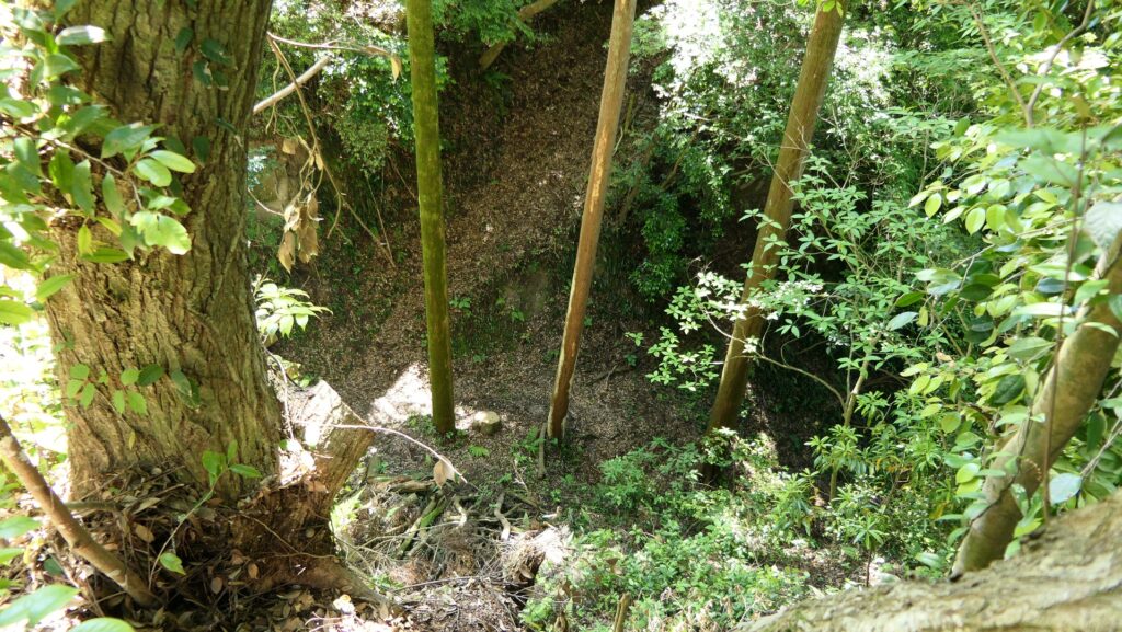
The ruins has 6 major and many other small enclosures and the first major one called Yaguraba or the Turret Place stands out with its vertical cliff on your right side before the Main Route entrance. Even today’s visitors may be scared to see it. There is no telling how enemies in the past felt.
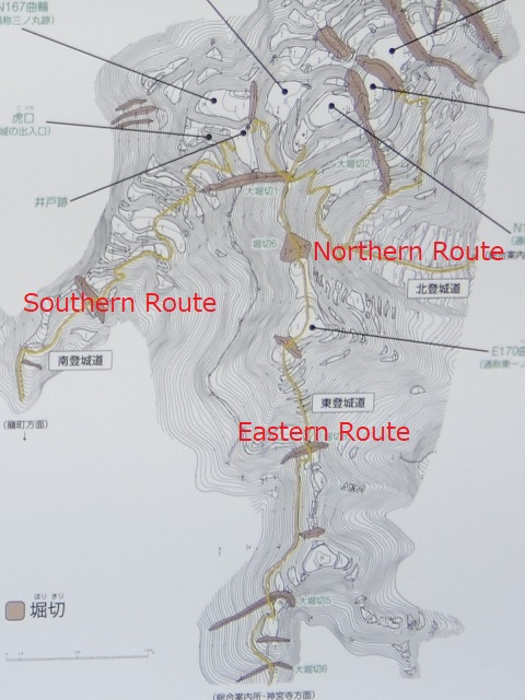
The map around the Uchijo portion, the red broken line is the route from the parking lot to the Main Route, and the blue broken line is the route to the Back Route
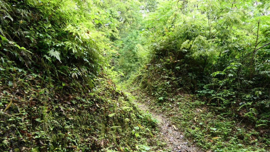
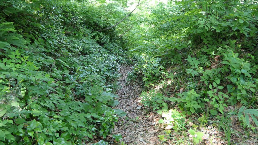
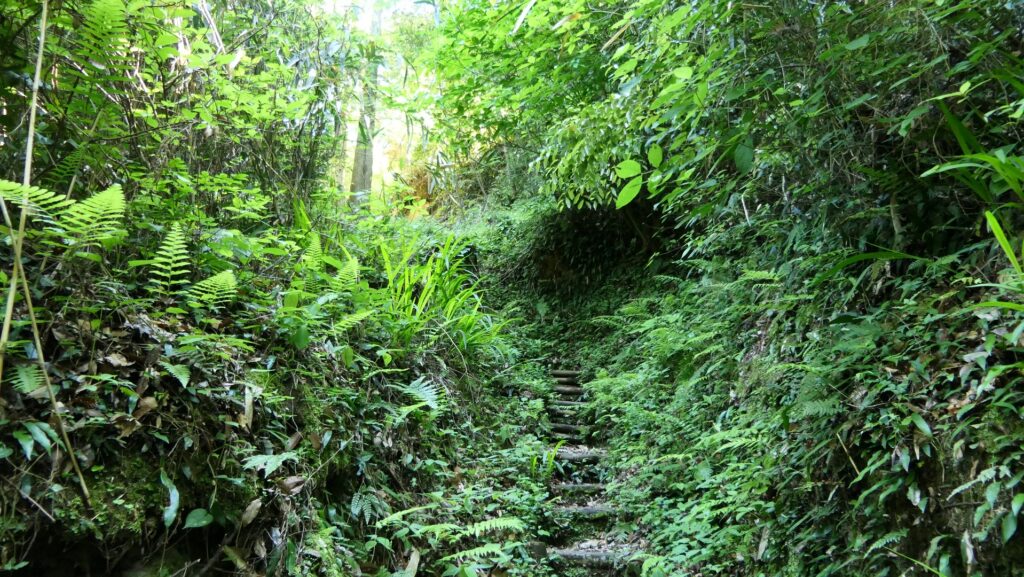
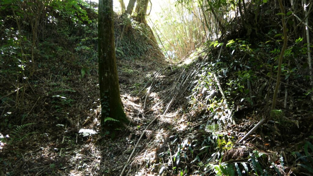
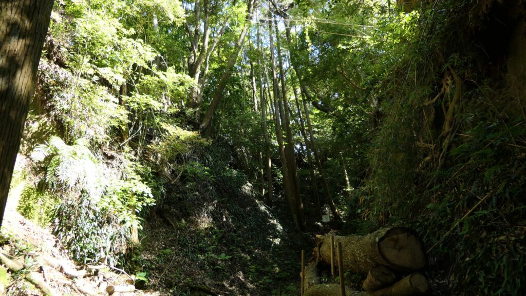
Main Route on Bottom of Moat
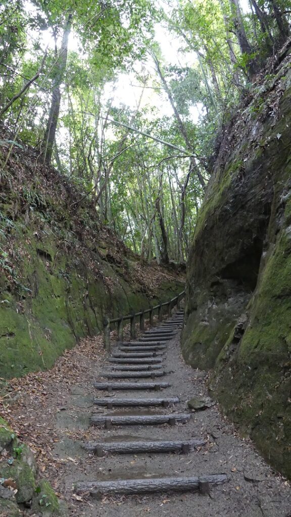
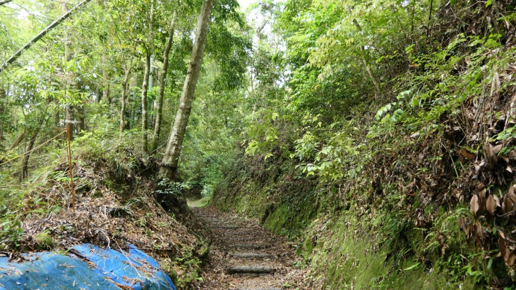
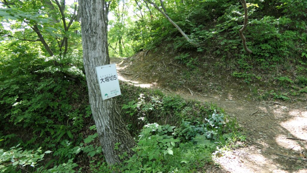
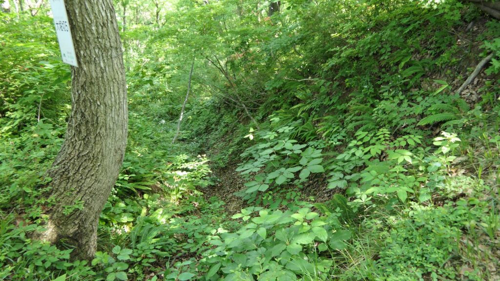
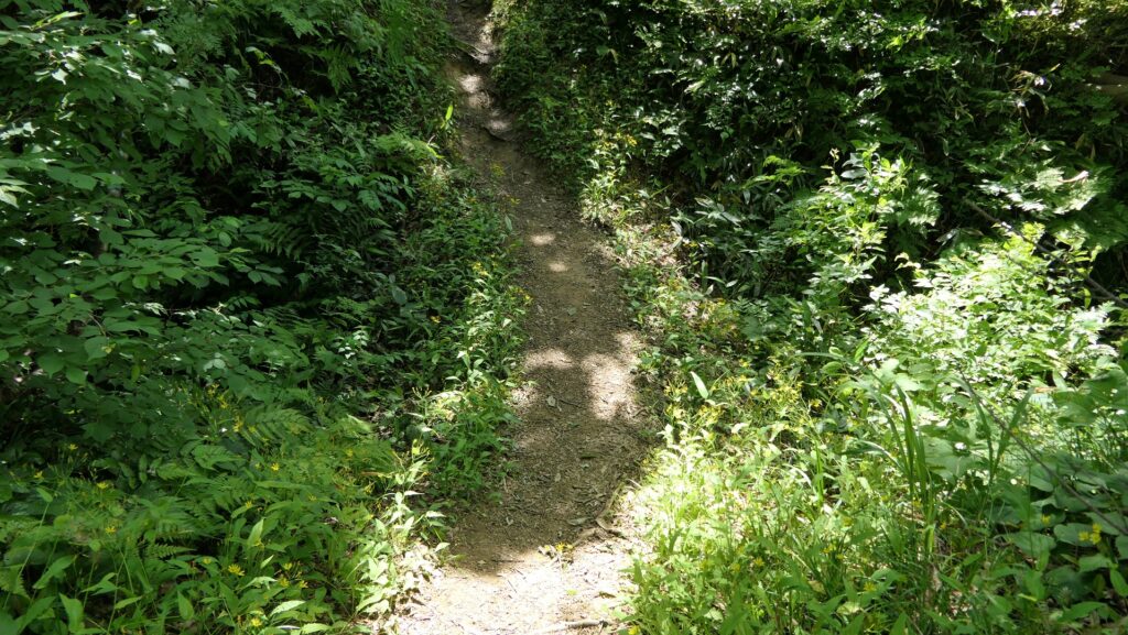
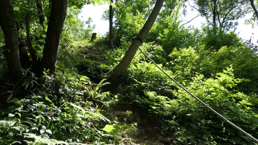
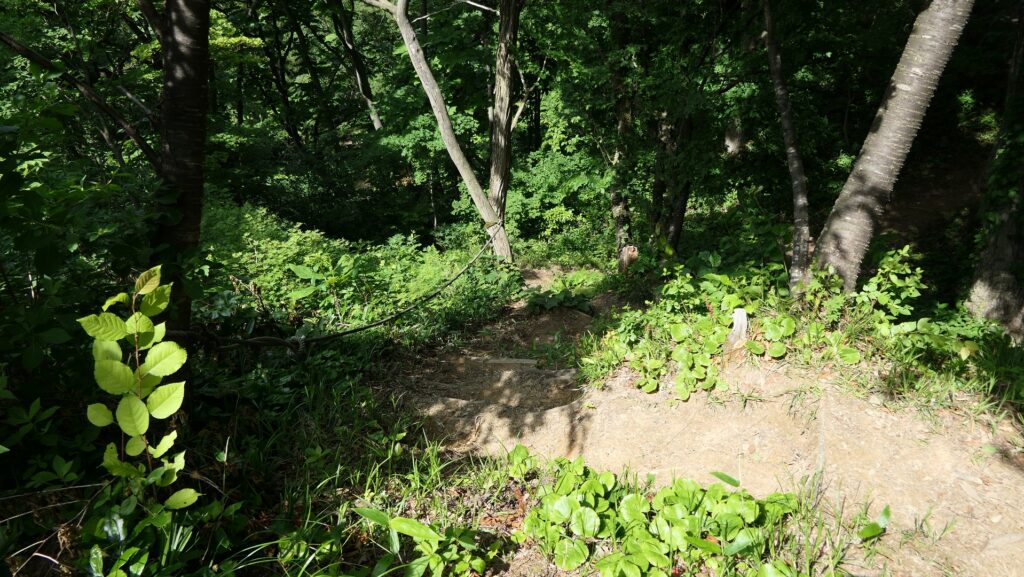
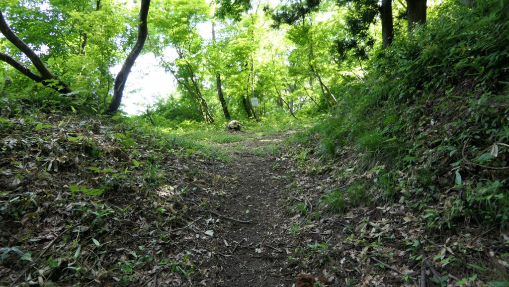
The Main Route climbs up the zigzagged path on the bottom of a deep dry moat to the center of the castle. The path is always surrounded by several high enclosures where the defenders would have attacked enemies. All the enclosures have a similar vertical cliff and defensive entrance called Koguchi to which you need to climb another very steep, unstable and zigzagging path. If you get out of the path, you will be stuck in the rough slope with bushes and the fragile soil made of the volcanic ash. These structures were all created artificially by processing the natural Shirasu plateau.
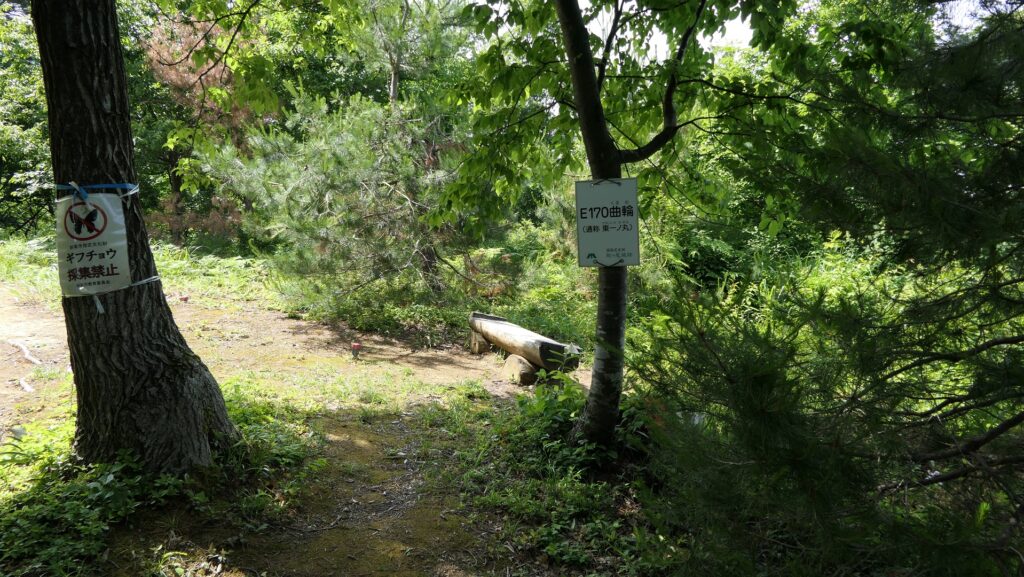
Main Enclosure with view of Shibushi Port
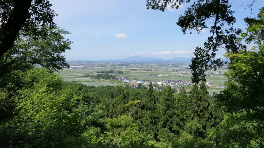
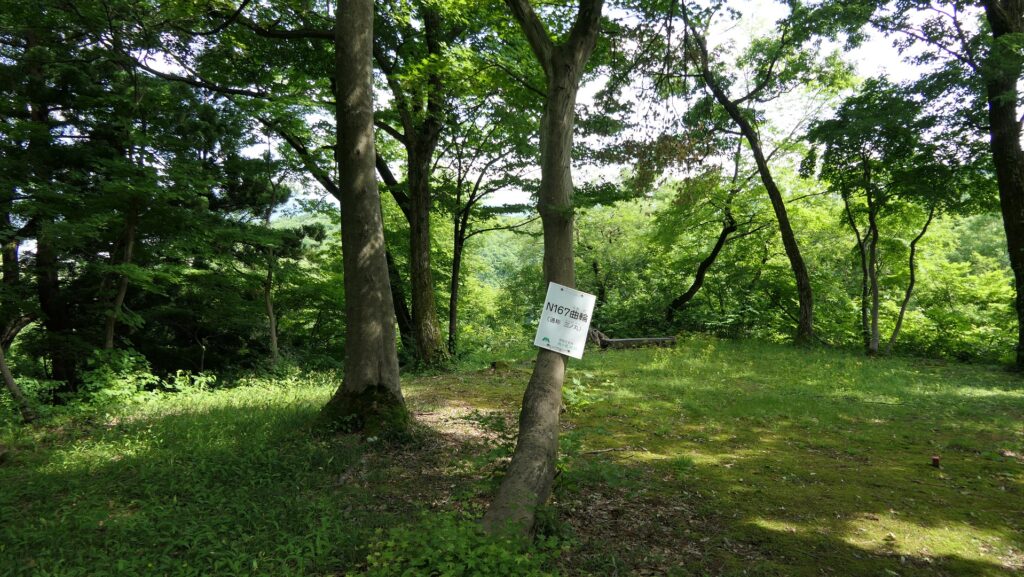
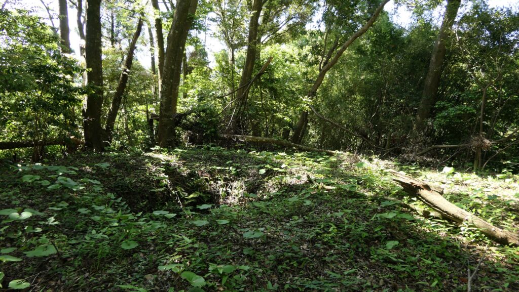
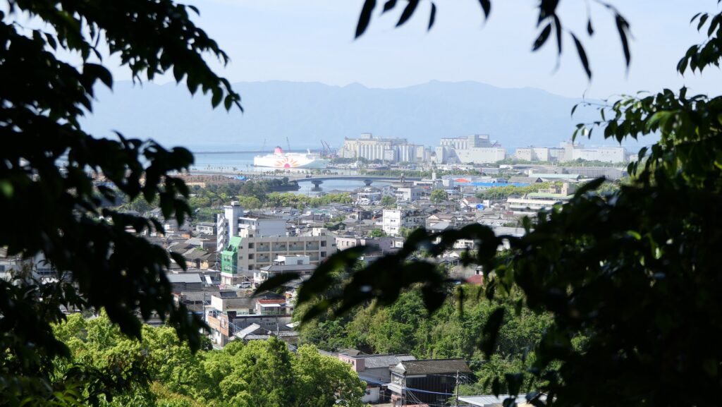
After walking in the dry moat for a while, you can enter the Main Enclosure on your left. The enclosure has two tiers which are squares with no buildings but surrounded by earthen walls, same as the others. The front lower tier seemed to be used as a lookout, so it is thought to have had a tall turret. You can still actually see a view of Shibushi Port with the Sunflower ferry anchored. This may also prove the relation of the castle and the trading at the port in the past.
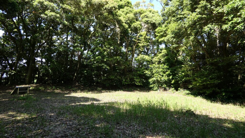
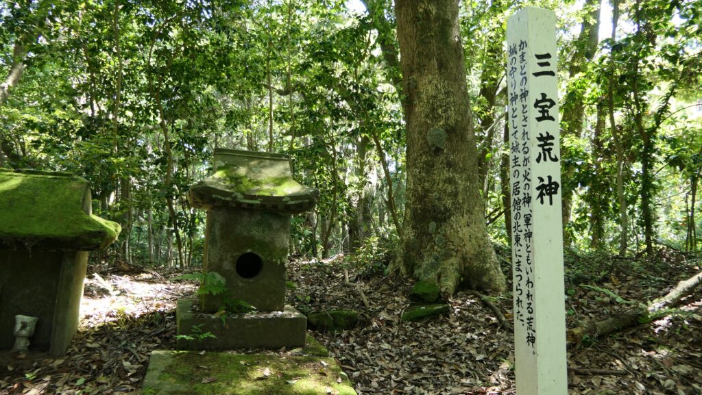
The upper tier is the highest in the castle, where a large building like a residence was built. It might have been used for the lord of the castle when a battle happened or other cases. There is only a small shrine in the back of the enclosure, with a huge deep dry moat behind it.


To be continued in “Shibushi Castle Part3”
Back to “Shibushi Castle Part1”