135.Masuyama Castle Part3

Tonami City develops the ruins very well.

Features

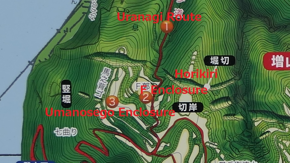
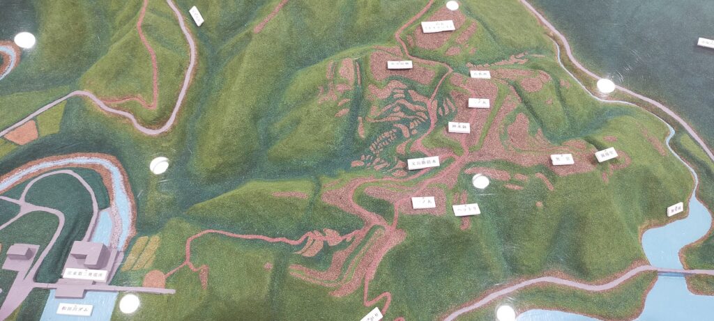
Second Enclosure, Center of Castle

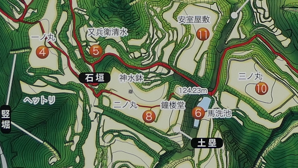
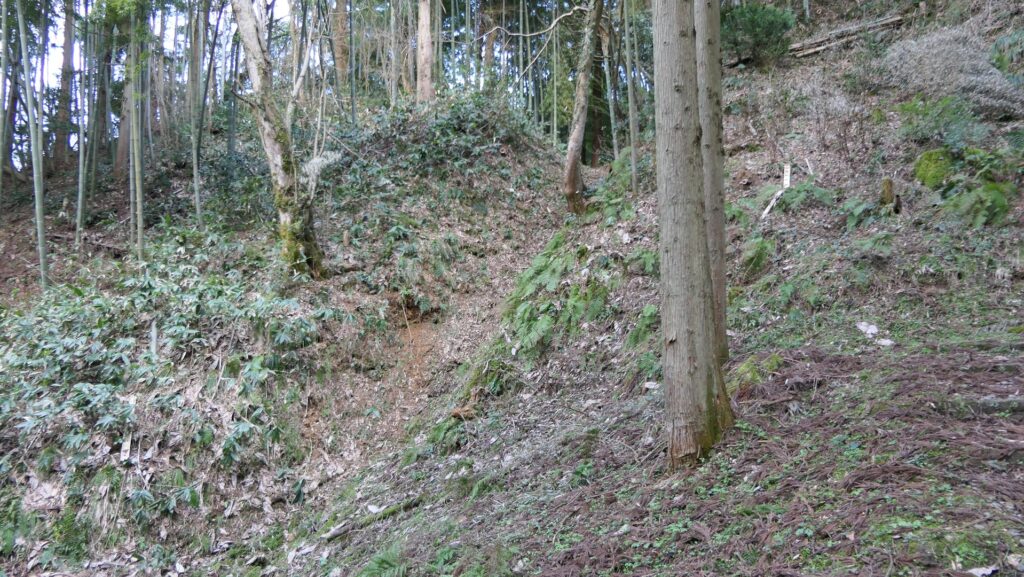
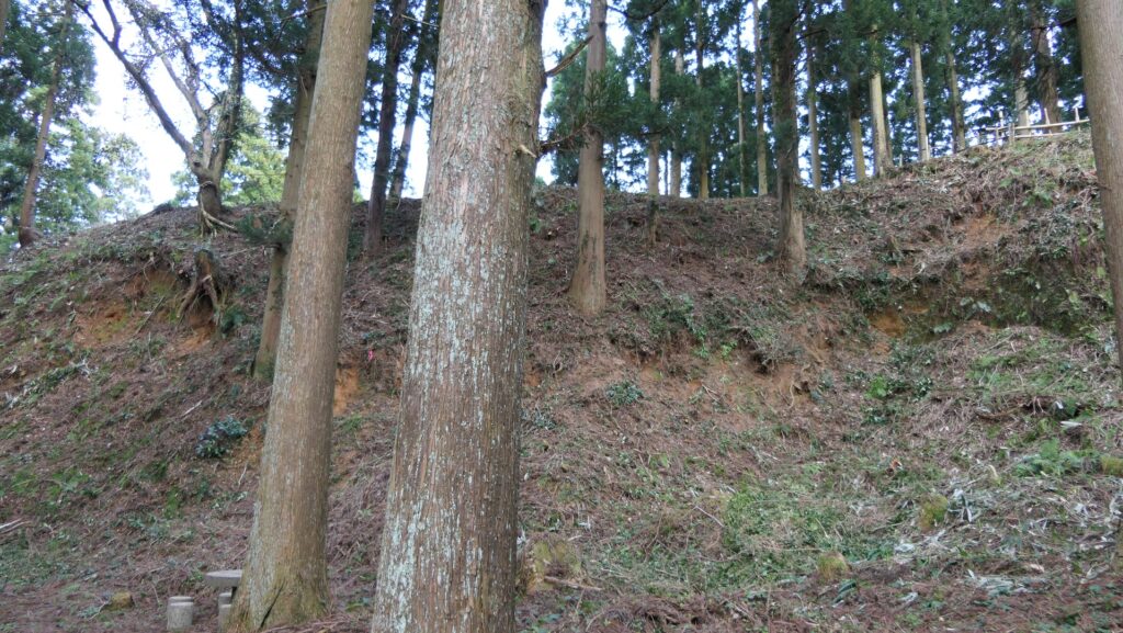
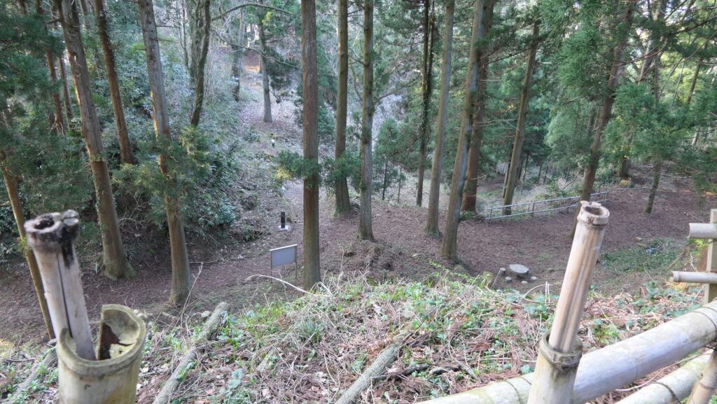
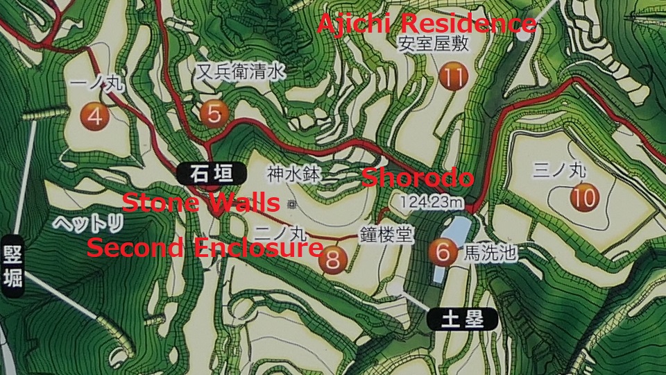
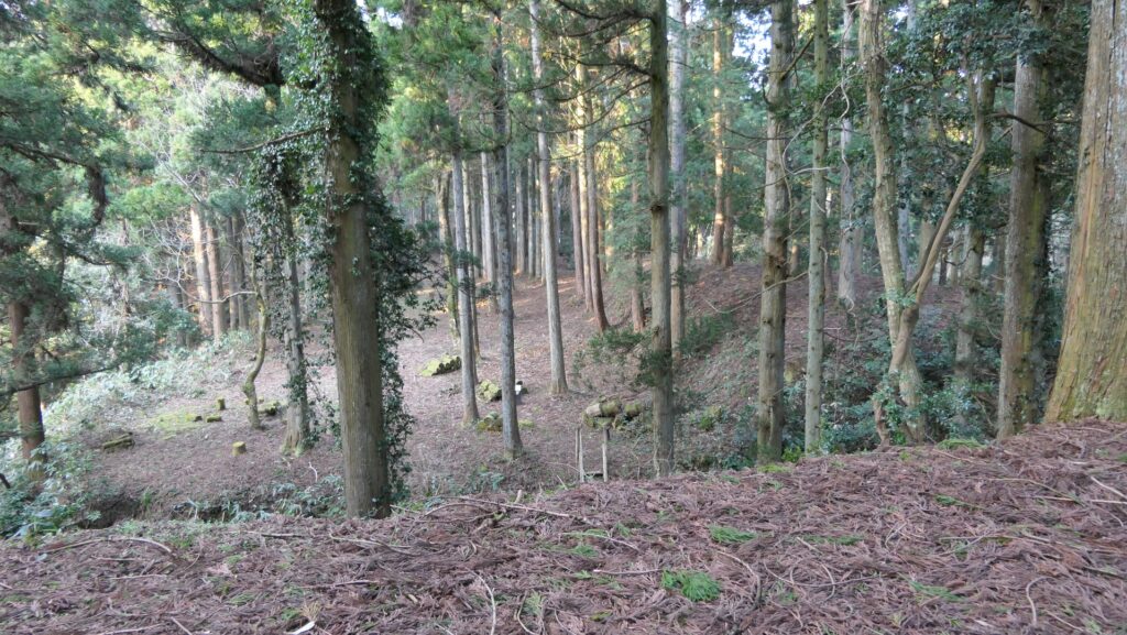
You will finally reach the Second Enclosure which had the only stone walls in the castle. They are more difficult to see now with the signpost saying the ruins of the stone walls.

The ruins of the stone walls
The entrance of the Second Enclosure

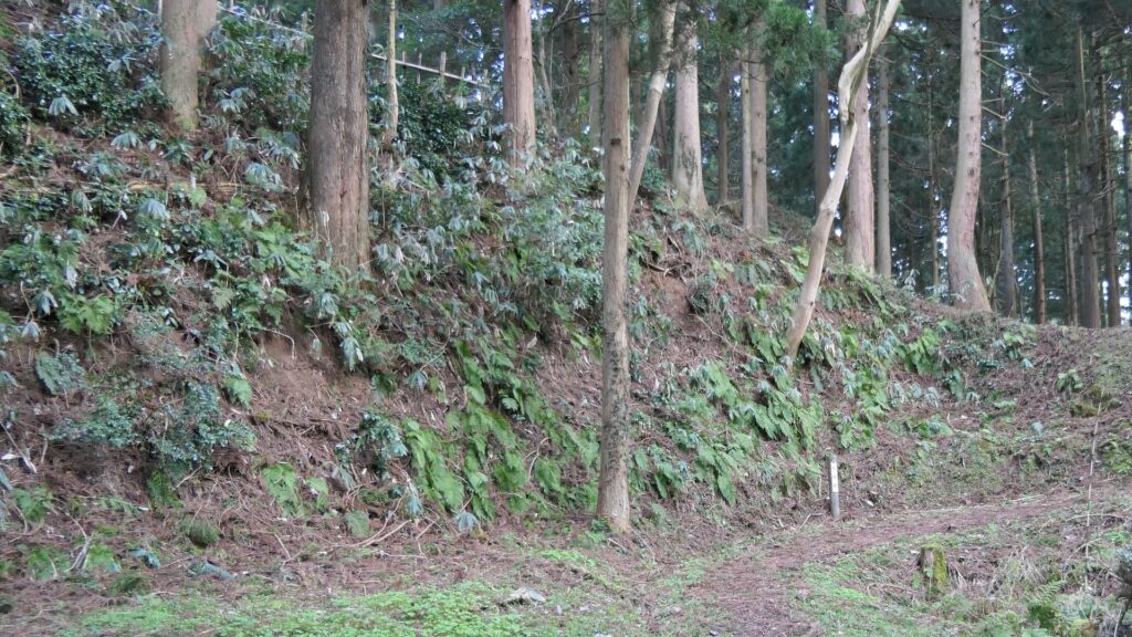
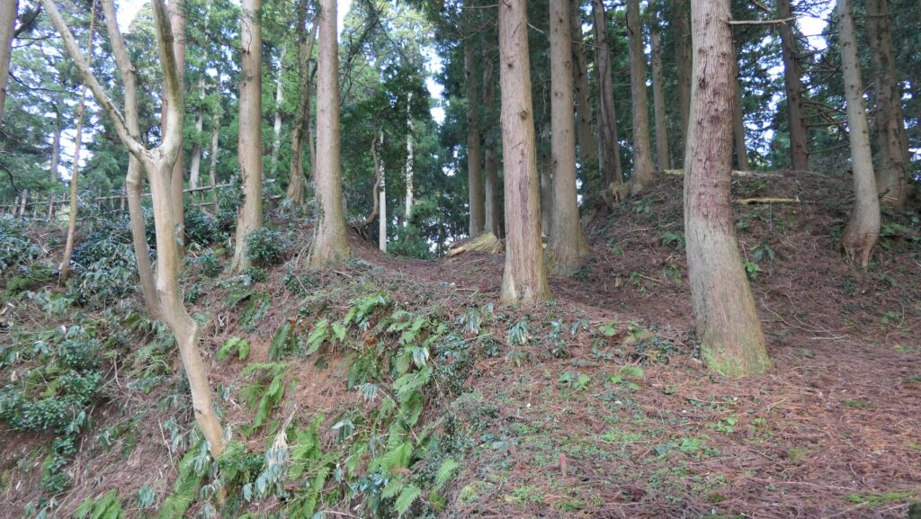
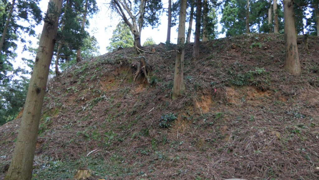
The enclosure is the largest and the highest positioned enclosure in the castle, and it is surrounded by the thick earthen walls. For these reasons, historians have often speculated that this enclosure was the main one of the castle, though it is traditionally called “The Second Enclosure”.

The map around the Second Enclosure (from the location map at the site)
The earthen walls surrounding the Second Enclosure
The inside of the Second Enclosure

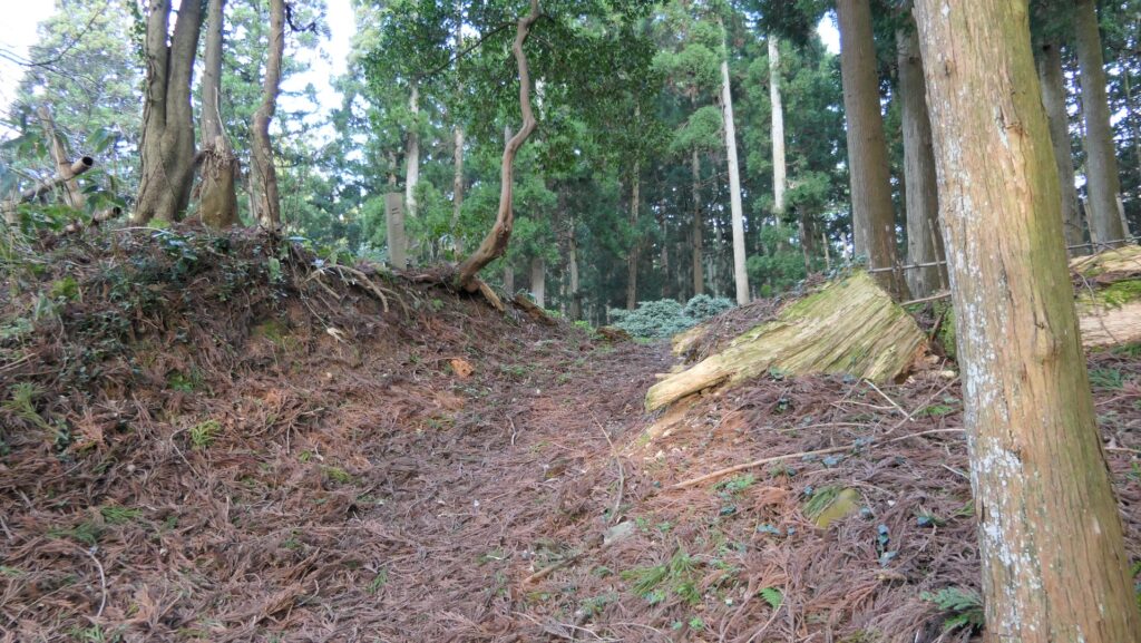
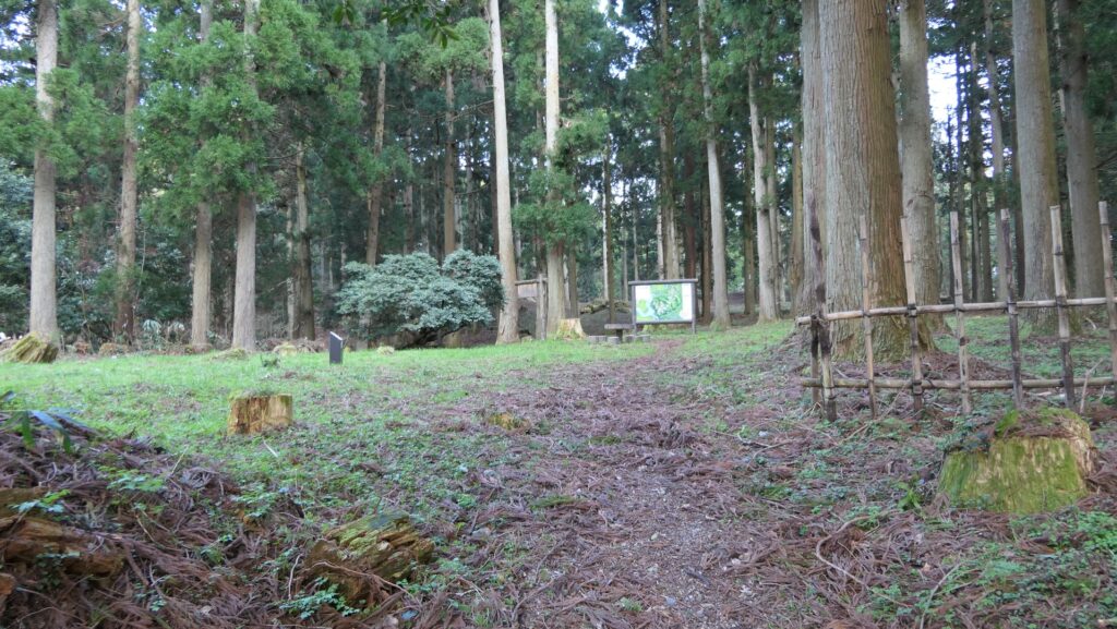
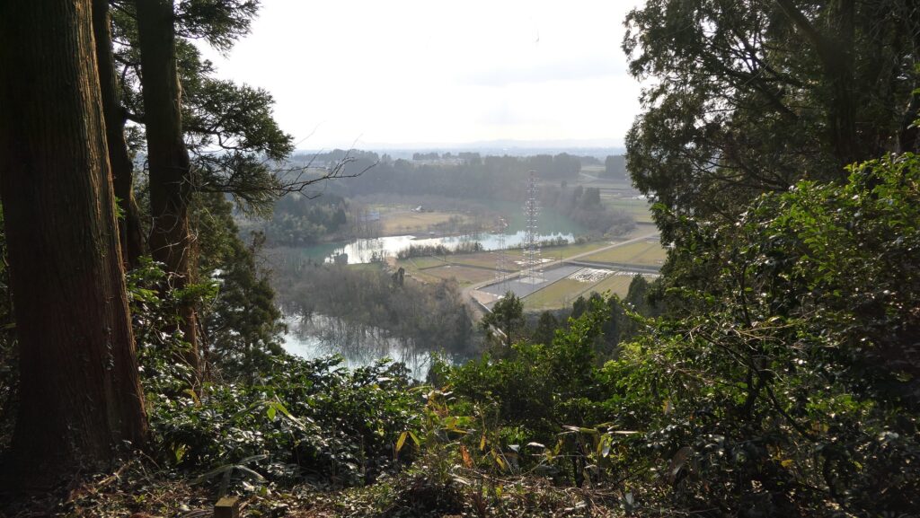
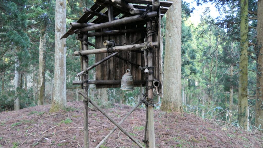
The enclosure also has a mound called Shorodo or the ruins of the Bell Tower where a miniature version of the bell is built now. A turret was most likely there. You can see the next enclosure called the Ajichi Residence over the large deep dry moat form the mound.

The ruins of the Bell Tower
The miniature version of the bell
The Ajichi Residence that can been seen over the large deep dry moat
Looking down the dry moat

Later History

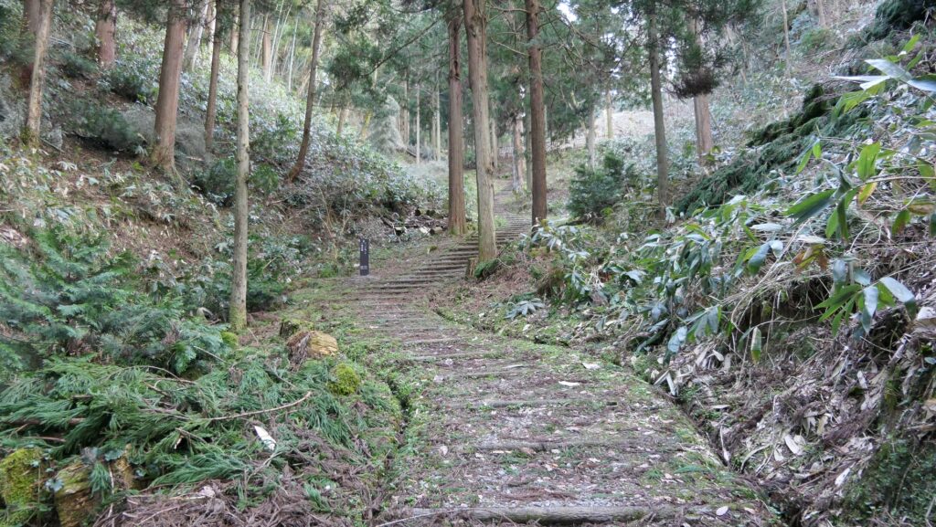
After Masuyama Castle was abandoned, the Kaga Domain owned the ruins of the castle and planted cedar trees during the Edo Period. The cedar trees have been known as the Masuyama Sedars. Tonami City which now owns the ruins started to investigate them in 1987 and excavated them between 1997 and 2003. As a result, the ruins were designated as a National Historic Site in 2009. The city has been developing the ruins as a historical site so that visitors can visit them more easily.

The miniature model of the castle ruins, exhibited by Tonami City History and Folklore Museum

My Impression

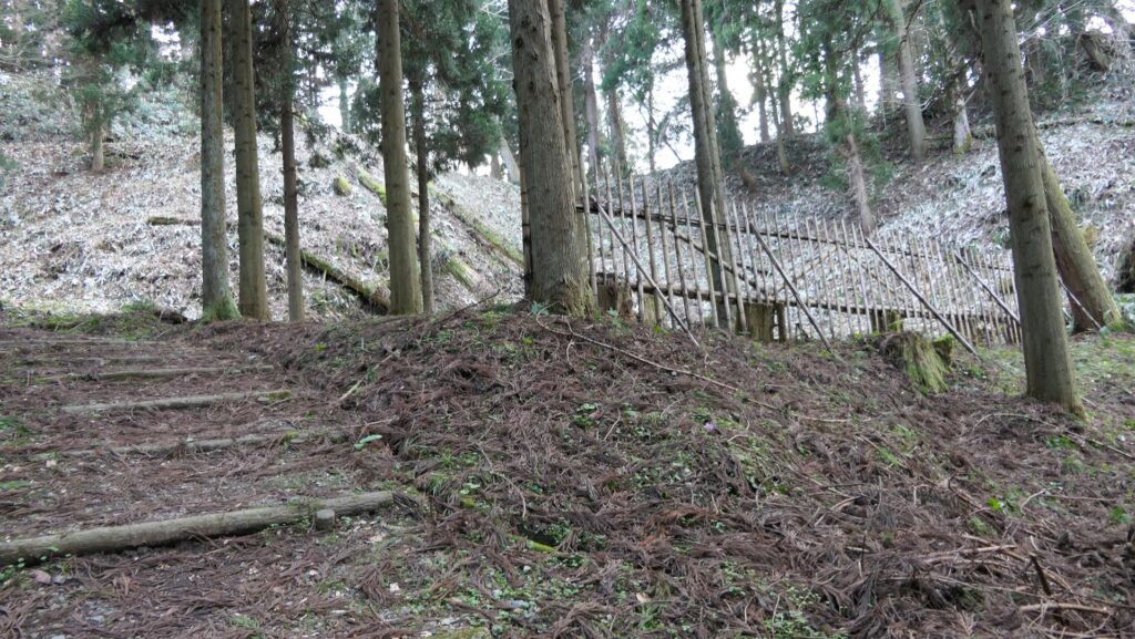
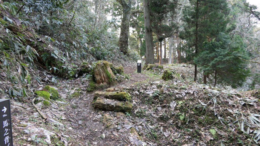
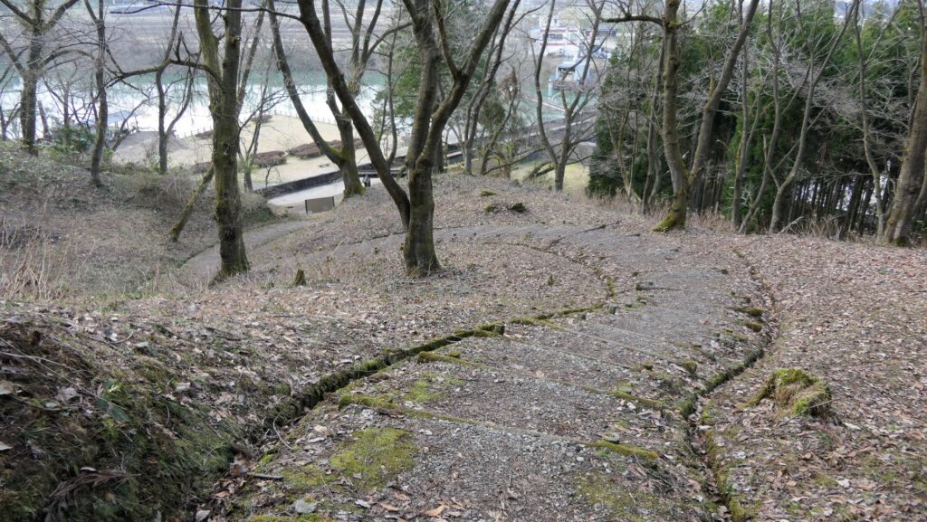
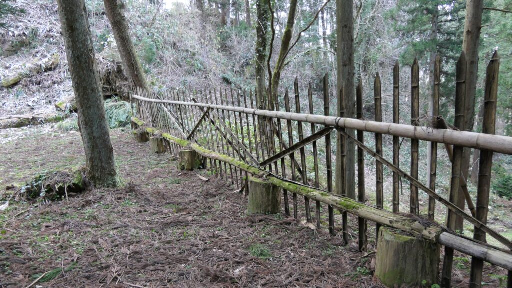
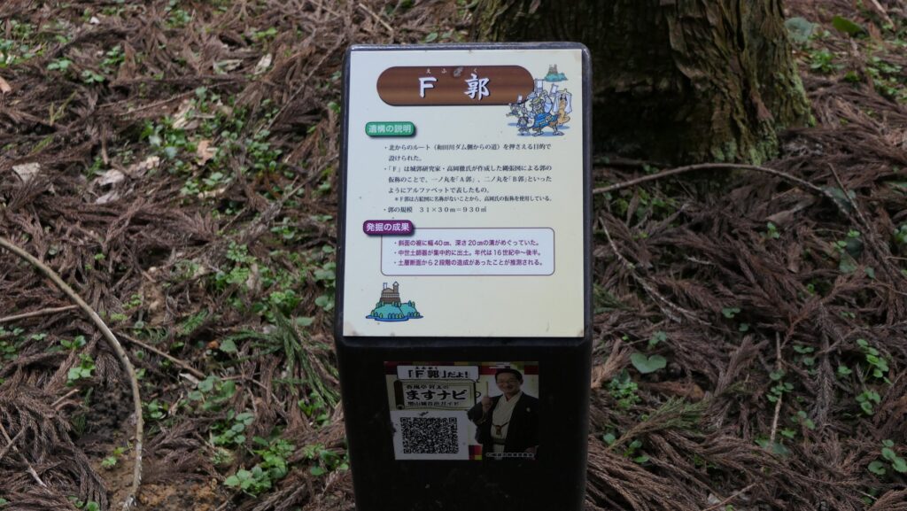
I think that the ruins of Masuyama Castle are very good study materials for visitors to learn more about what mountain castles were. If ruins of a mountain castle were left alone, it would return to its natural form. Trees and bushes would grow thick and the structures of the castle would collapse. That means visitors are often not sure what the mountain castle looked like or visiting the ruins can be dangerous. However, in the case of Masuyama Castle, Tonami City has developed the ruins to make it easier for visitors to learn more information. For example, bushes are always cut alongside the route. Simple wooden fences and the signboard are built at each enclosure. Therefore, visitors can understand what the layout of the castle would have been and how the defenders would have protect themselves. That’s why I recommend visiting the ruins.
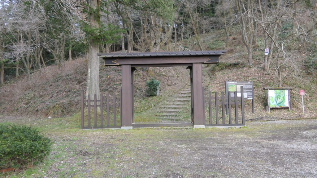
The developed Uranagi Route
The wooden fences built in the F Enclosure
The signboard of the F Enclosure
Looking down the F Enclosure from the Umanosego Enclosure

How to get There

I recommend using a car when you visit the ruins.
It is about 20 minutes away from Tonami IC on the Hokuriku Expressway.
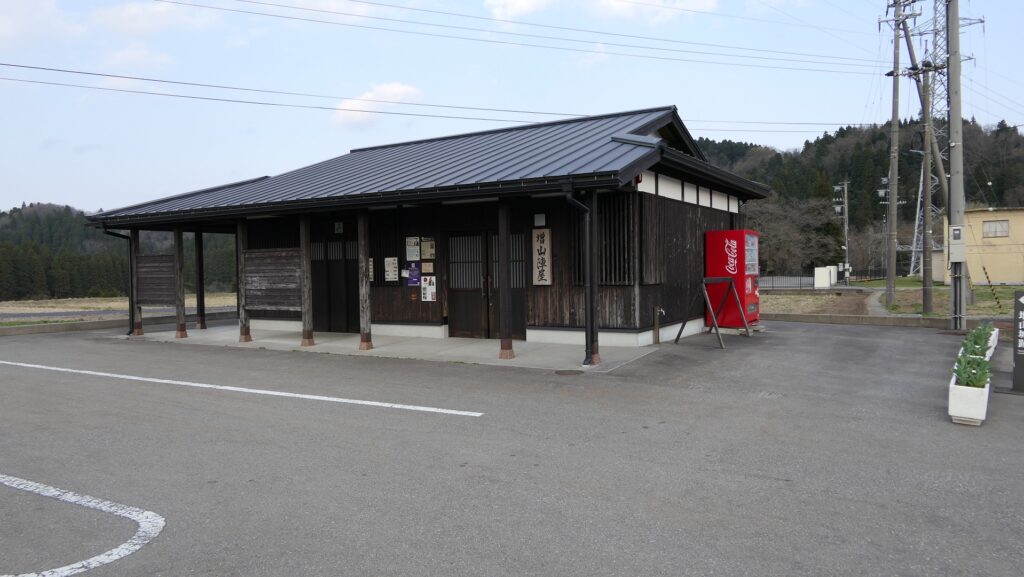
You can park at the information center (Masuyama Jinya).
If you want to use public transportation, you can take a taxi from Tonami Station.
To get to Tonami Station from Tokyo: Take the Hokuriku Shinkansen super express and transfer at Shin-Takanoka Station to the Johana Line.

That’s all. Thank you.
Back to “Masuyama Castle Part1”
Back to “Masuyama Castle Part2”

135.増山城 その3

砺波市は城跡をとてもよく整備しています。

特徴、見どころ

城の中心部、二ノ丸

そしてついに二ノ丸に到着しますが、ここには城で唯一の石垣がありました。標柱に石垣跡と書いてあるのですが、現在では見て判別するのはちょっと難しい感じです。

二ノ丸石垣跡
二ノ丸入口

この曲輪はこの城では最も大きく、最高地点に位置しています。そして厚みのある土塁に囲まれています。こういった理由から、この曲輪は「二ノ丸」と呼び習わされているにも関わらず、歴史家は度々この曲輪がこの城の主郭であったと推測しています。

二ノ丸周辺の地図(現地案内図より)
二ノ丸を囲む土塁
二ノ丸の内部

曲輪の中にはまた、鐘楼堂と呼ばれる土塁があり、今はミニチュアの鐘が置かれています。櫓のようなものがあったのかもしれません。そこからは、大きな空堀の向こうに安室(あぢち)屋敷と呼ばれる隣の曲輪が見えます。

鐘楼堂
ミニチュアの鐘
空堀越しに見える安室屋敷
空堀を見下ろす

その後

増山城が廃城となった後、加賀藩は江戸時代の間、城跡を所有し杉を植林しました。その杉林は、増山杉として知られるようになりました。現在城跡を所有している砺波市は、1987年に城跡の調査を開始し、1997年から2003年の間に発掘を行いました。その結果、2009年には城跡は国の史跡に指定されました。砺波市は、観光客がもっと訪れやすくなるよう、史跡として整備を続けています。

城跡の模型(砺波市埋蔵文化財センターで展示)

私の感想

増山城跡は、観光客が山城のことをより学ぶのにとてもよい教材だと思うのです。もし、山城の跡が放置されてしまった場合、そこは自然に戻っていきます。木々や藪が深く生い茂り、城の基礎部分は崩れていきます。その場合、観光客はその山城がどのような姿をしていたかわからなくなり、あるいは危険な場所になってしまいます。しかし、増山城の場合は、砺波市が城跡を整備し、観光客が情報を得やすいようになっています。例えば、道筋の藪は常に伐採されています。簡単な木柵や説明板がそれぞれの曲輪に設置されています。そのため、観光客は城の縄張がどうだったのか、守備兵がどのように城を守ったのか理解することができます。この城跡をお勧めする次第です。

整備されたウラナギ口
F郭に設置された木柵
F郭の説明板
馬之背ゴから見下ろしたF郭

ここに行くには

ここに行くには車を使うのをお勧めします。
北陸自動車道の砺波ICから約20分かかります。
案内所(増山陣屋)に駐車できます。
公共交通機関を使う場合は、砺波駅からタクシーを使って行くことができます。
東京から砺波駅まで:北陸新幹線に乗り、新高岡駅で城端線に乗り換えてください。

リンク、参考情報

国指定史跡 増山城跡のご案内、砺波市
・「日本の城改訂版第77」号」デアゴスティーニジャパン
・「増山城跡調査中間報告書」砺波郷土資料館他

これで終わります。ありがとうございました。
「増山城その1」に戻ります。
「増山城その2」に戻ります。

135.Masuyama Castle Part2

You can learn a lot about mountain castles there.

Features

Going to Castle Ruins through Uranagi Route

Today, the ruins of Masuyama Castle have been well developed for visitors. There are two trails to visit the ruins, but I highly recommend using the Uranagi Route. This is because there is an information center called Masuyama Jinya with a parking lot near the route. If you park there and walk to the entrance of the route, you will see an interesting modern facility. In fact, the Wada-gawa River which flowed around the castle was turned into the Wada-gawa Dam. You will walk through the crest of the dam looking at Masuyama Lake on the right and a hydroelectric plant on the left. Part of the ruins of the castle town is under the lake now.

Masuyama Castle[/leaflet-marker]

The information center called Masuyama Jinya
The crest of the Wada-gawa Dam
Masuyama Lake
The hydroelectric plant

Featured Horikiri and following Enclosures

By now, you should be able to see the ruins at an altered gate called Kaburagi-mon beside a large signboard. The Uranagi Route goes up on a slope and eventually goes in a valley between the ridges on both sides. You will first see the enclosure called the F Enclosure whose name originates from the numbering system which historians used. it is therefore not known what the original name was. You should check out the ridges that are cut artificially, called Horikiri, in front of the enclosure which prevented enemies from attacking the ridges.

The Kaburagi-mon at the entrance of the Uranagi Route
The Uranagi Route goes in the valley
The Horikiri in front of the F Enclosure
The F Enclosure

Above the F Enclosure, there is the Umanosego Enclosure which is shaped like a horse’s back. This is where the Uranagi Route and Nanamagari Route meet. The enclosure was an important spot for controlling visitors or enemies.

The Umanosego Enclosure
The map around the F Enclosure and the Umanosego Enclosure (from the location map at the site)

First Enclosure, pivot point of the defense

After that, the First Enclosure stands out in front of you. The cliff around the enclosure is cut vertically, which is called Kirigishi, however, it is impossible to climb it. Unfortunately, you will also have to walk around the cliff to reach the entrance of the enclosure. This location would have been where enemies were counterattacked from above. From there, you will see the remaining well called the Matabe-Shimizu which still filled fresh water to this day located near the entrance.

Looking up the First Enclosure
The Kirigishi of First Enclosure
The well called the Matabe-Shimizu
The map around the First Enclosure (from the location map at the site)

From the inside of the enclosure, you can see a good view of the area around the castle as well as a view of the route you went through. That means this enclosure would have been the pivot point of the defense.

The inside of the First Enclosure
A view from the First Enclosure
A view of the route you went through

To be continued in “Masuyama Castle Part3”
Back to “Masuyama Castle Part1”