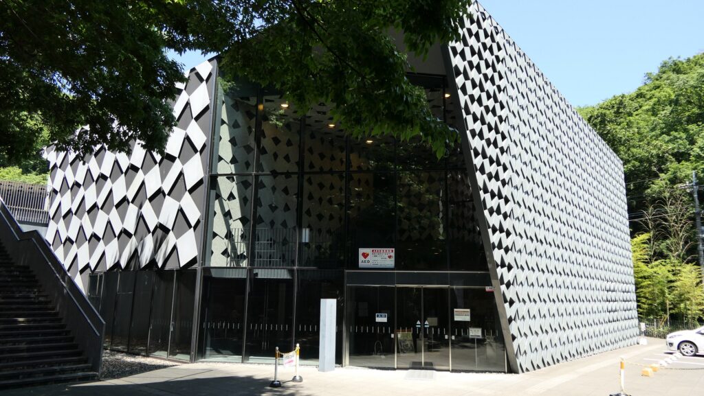
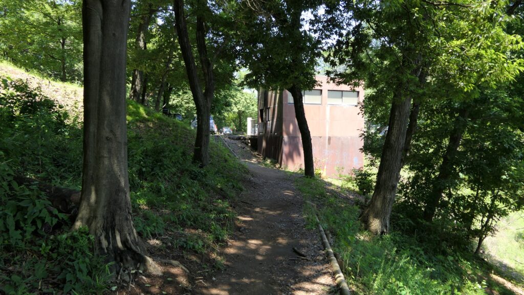
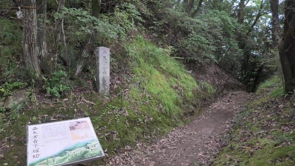
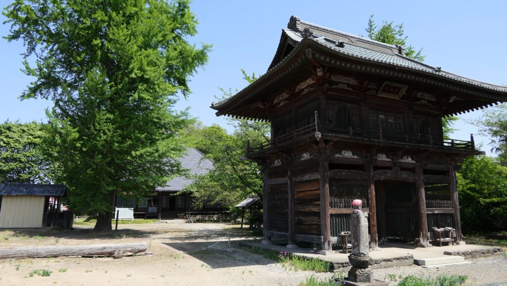
Today, the ruins of Kanayama Castle have been well developed by Ota City. The mountain, where the ruins were located, are covered by several hiking courses including the routes to the ruins, where you can see many people enjoying and relaxing on them. For history fans visiting the ruins, it may be better to climb Nishiyama (the Western Mountain) course from such as Historic Site Kanayama Castle Guidance Facility.
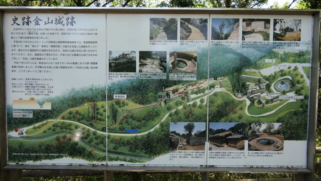
The map around the castle
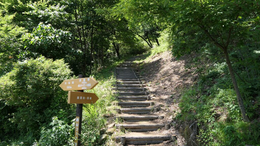
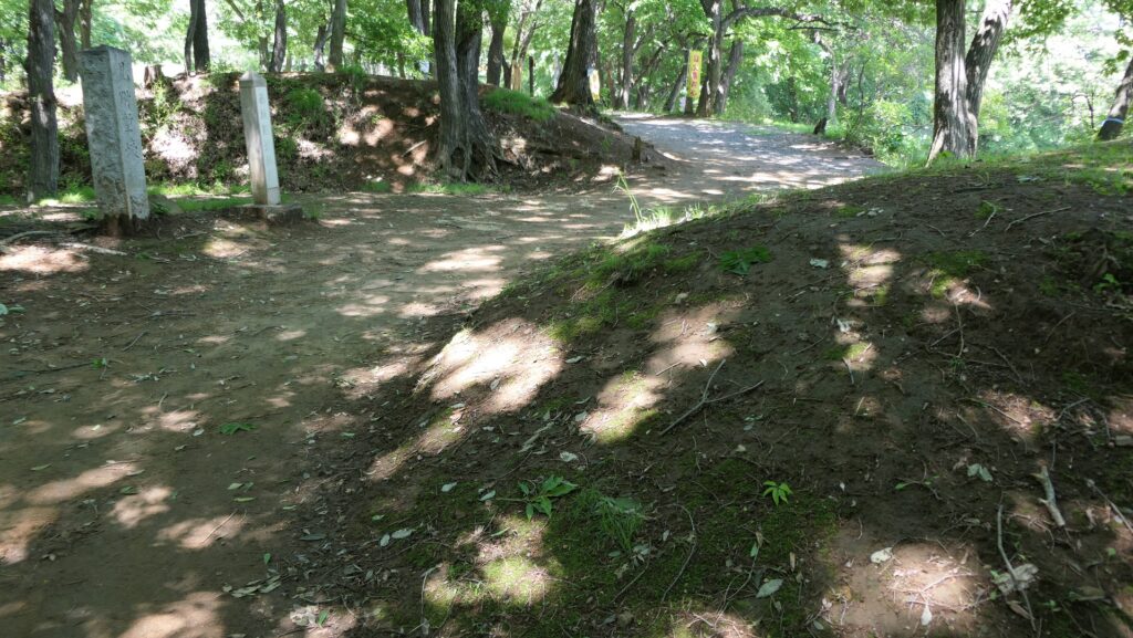
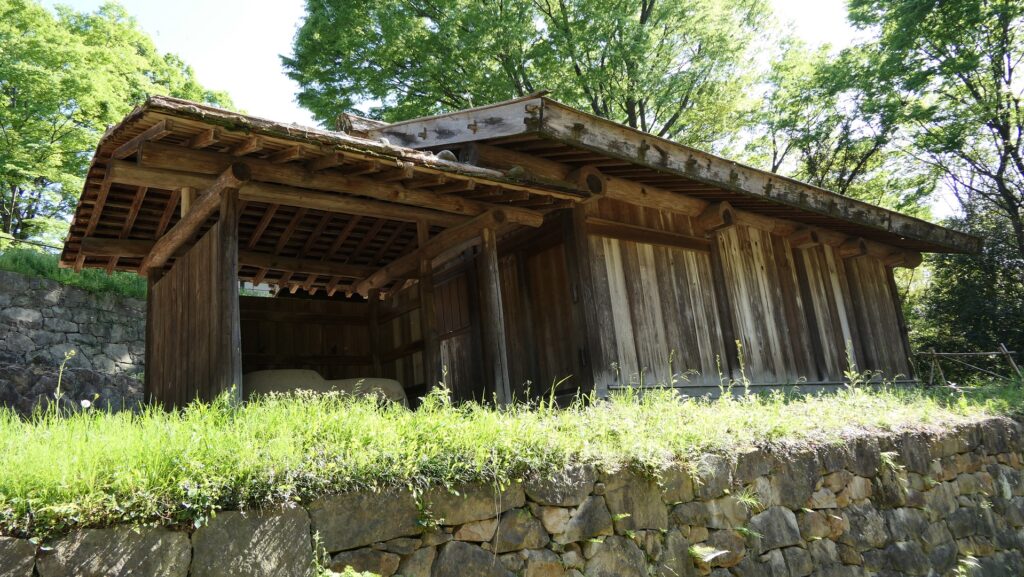
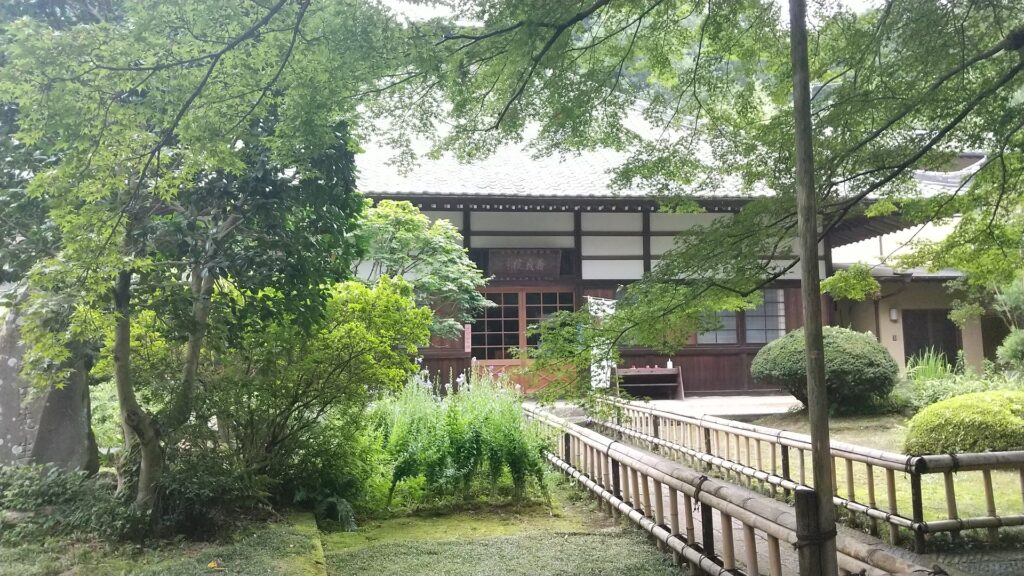
Historic Site Kanayama Castle Guidance FacilityThe entrance to the Western Mountain course from the facilitythe Western Mountain hiking courseArriving at the parking lot on the mountain
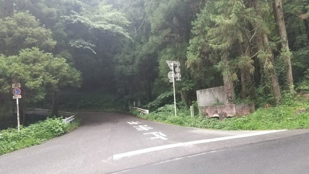
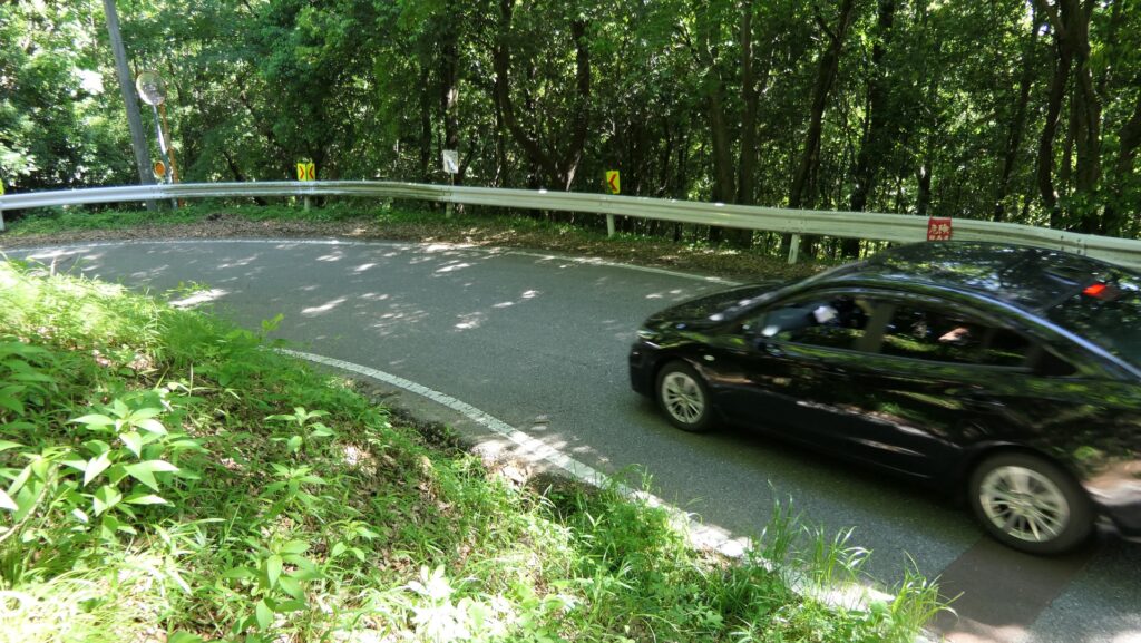
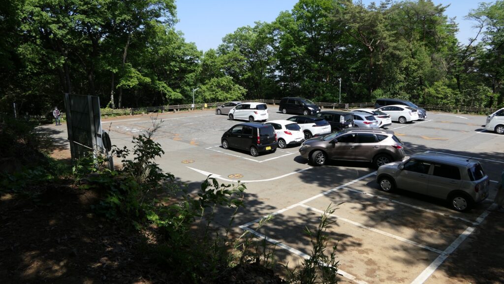
Drivers can also go straight to the parking lot on the mountain through the Kanayama Drive Way, about 700m away from the top, around Nishijo or the Western Castle area. The Western Mountain hiking course also meets the area, so a tour to the ruins usually starts there.
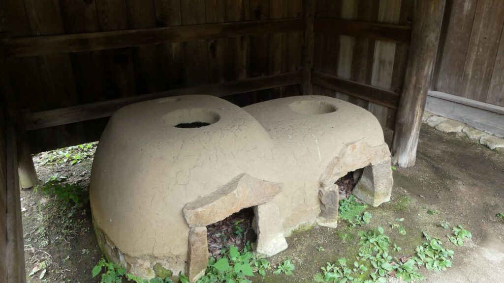
The entrance of the Kanayama Drive WayThe Kanayama Drive WayThe parking lot on the mountainThe entrance ruins of the Western Castle near the parking lot
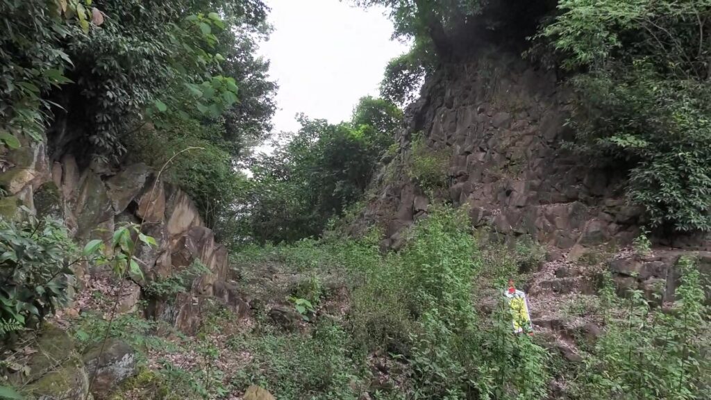
Defense system to prevent enemies from attacking Castle easily
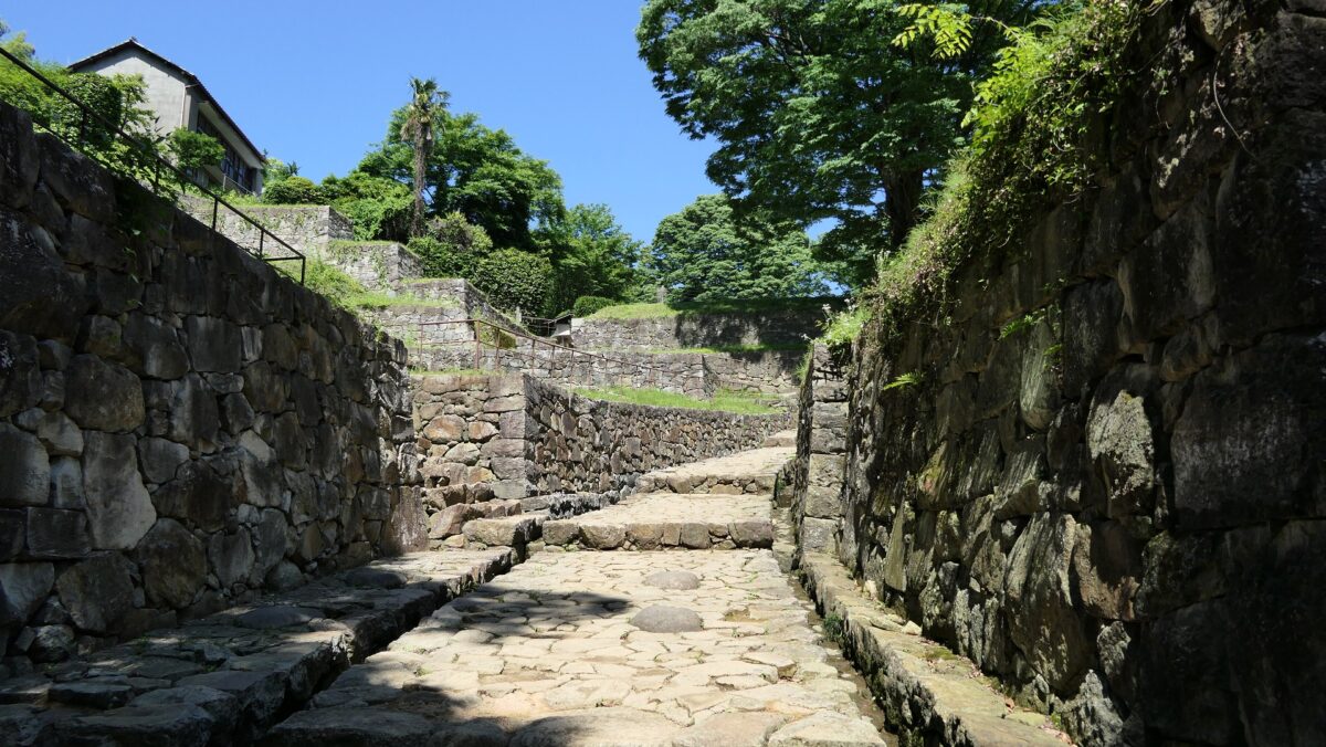
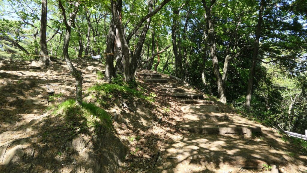
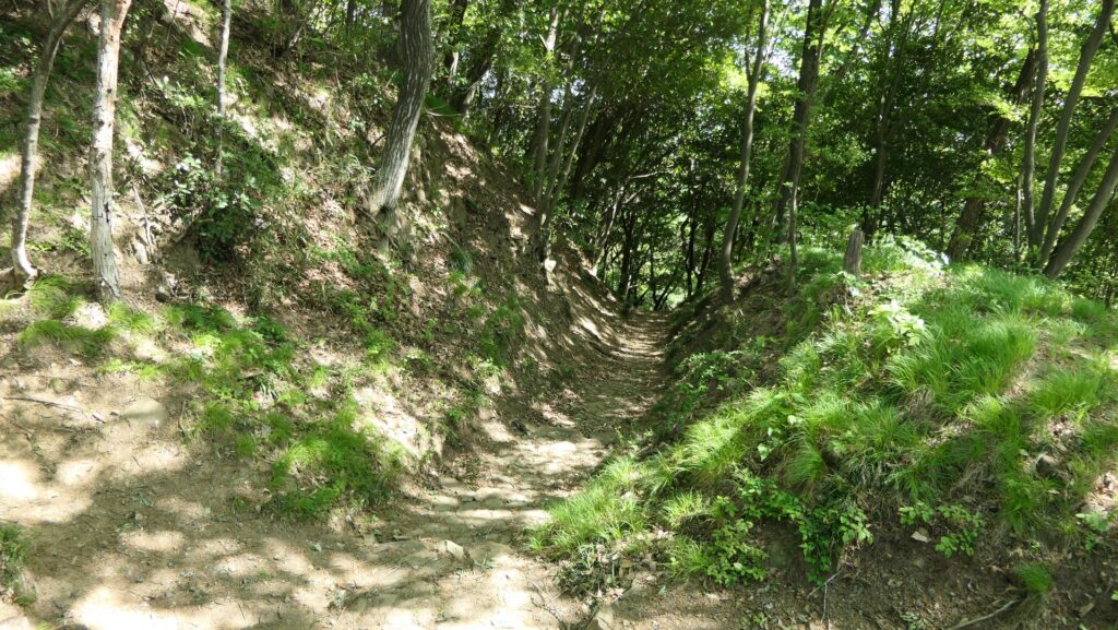
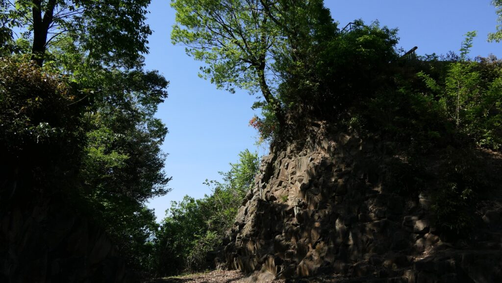
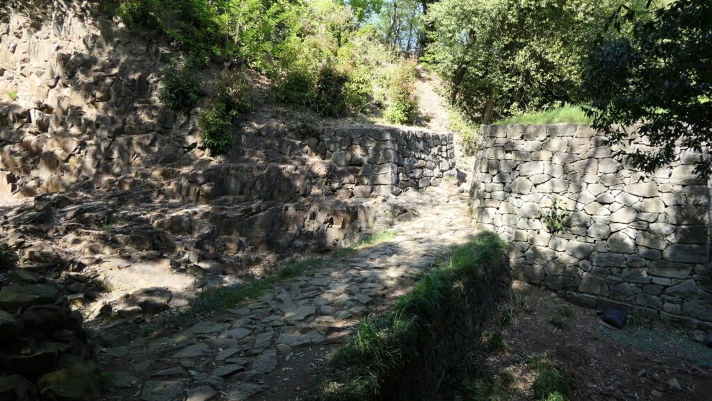
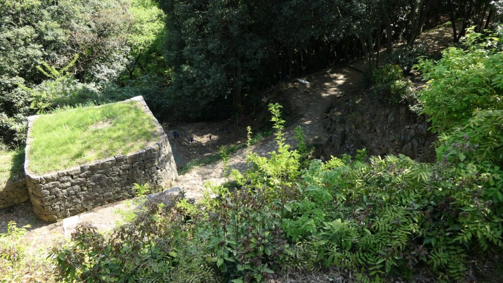
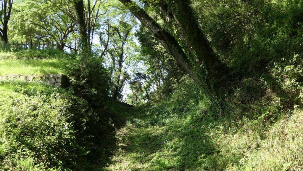
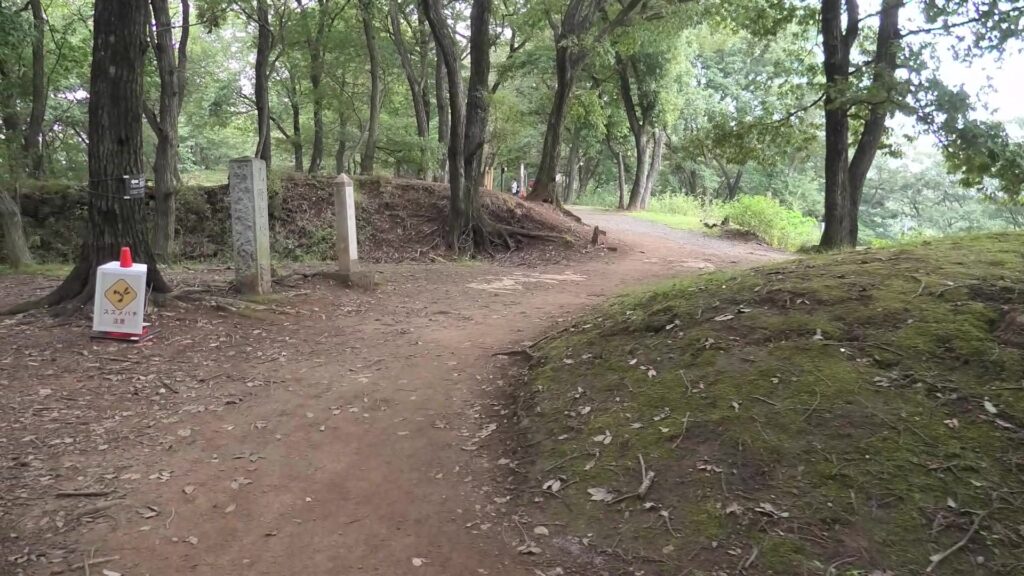
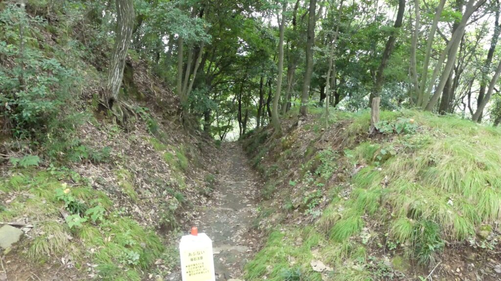
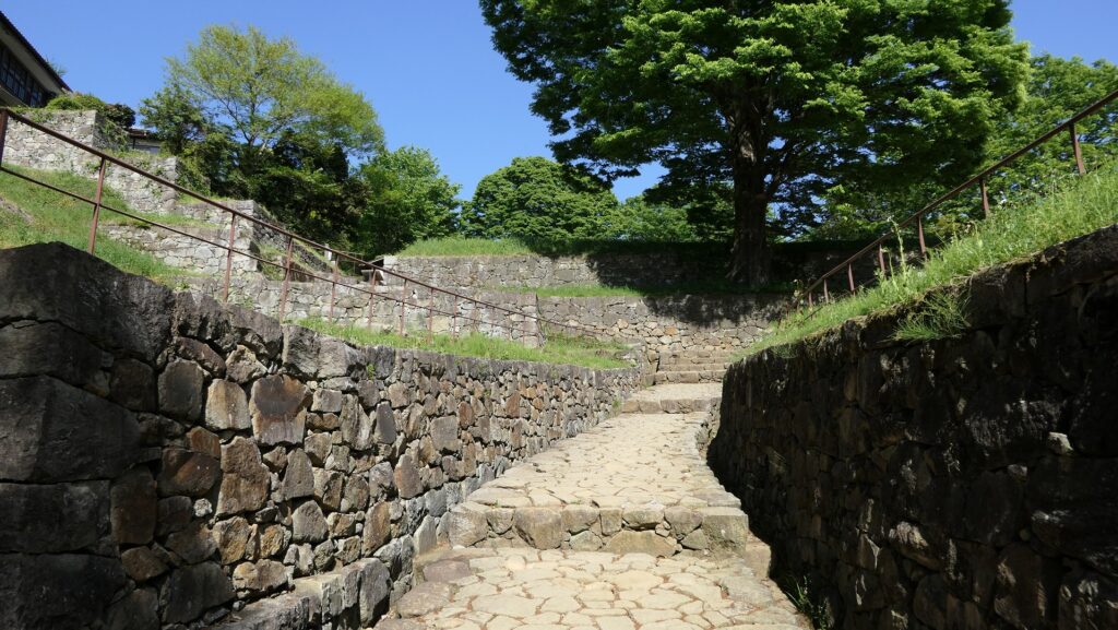
To go to the center of the ruins, you need to go on the original or recently developed route towards the east. You will find several ditches which were built for preventing enemies from attacking the castle easily.
The location map of the castle ruins at the sitea route to the center, developed in the present timeAn original route, but it breaks on the wayOne of the ditches
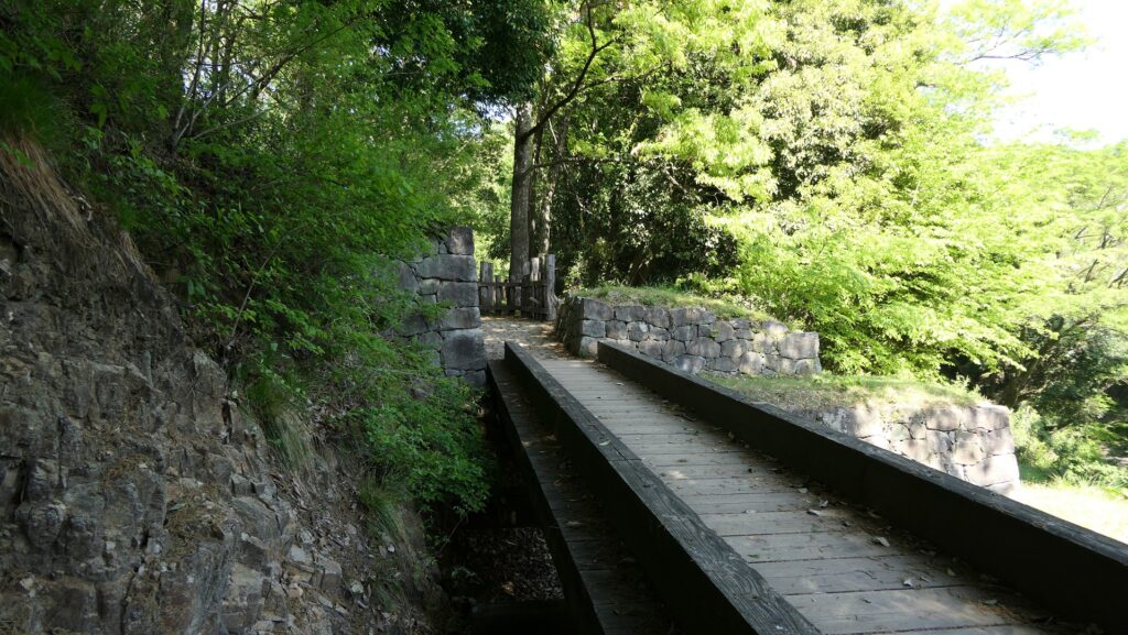
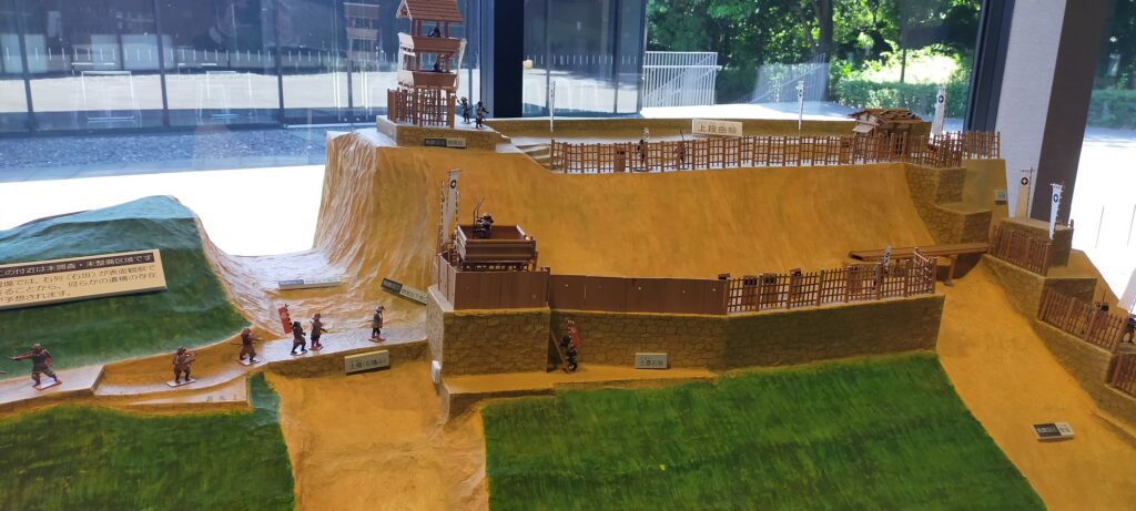
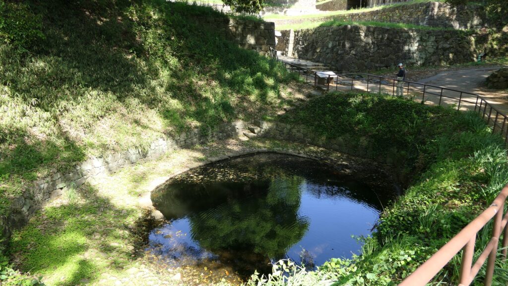
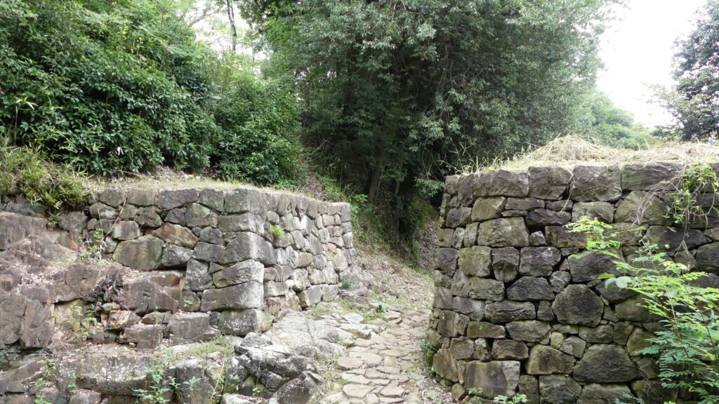
In particular, the one in front of the Lookout Tower was built by digging bedrock deeply, which looks very impressive. In addition, double entrances behind the ditch are surrounded by restored stone walls, and you can enter them after going across the earthen bridge over the ditch.
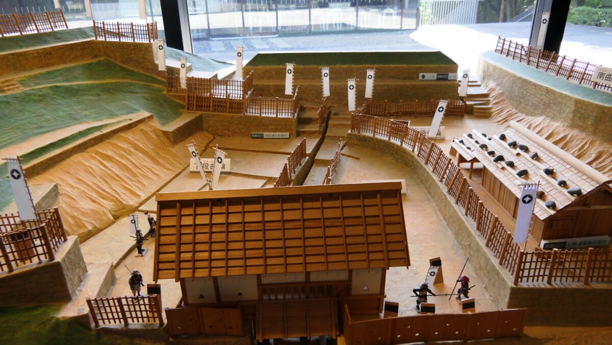
The ditch in front of the Lookout TowerThe first entrance under the towerThe second entranceThe miniature model of around the Lookout Tower, exhibited by Historic Site Kanayama Castle Guidance Facility
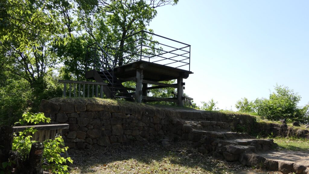
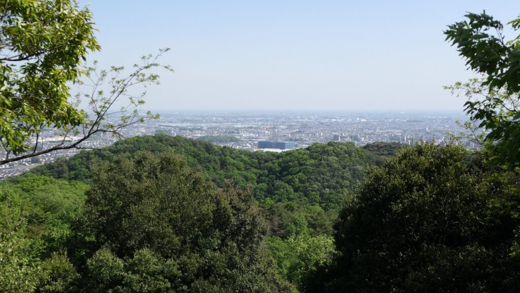
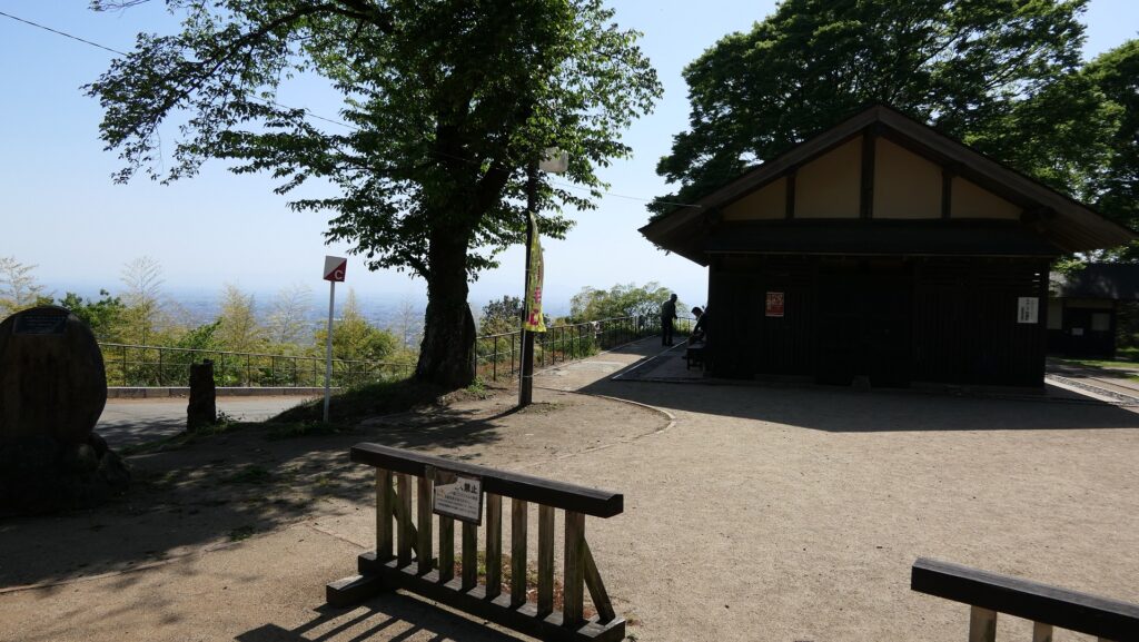
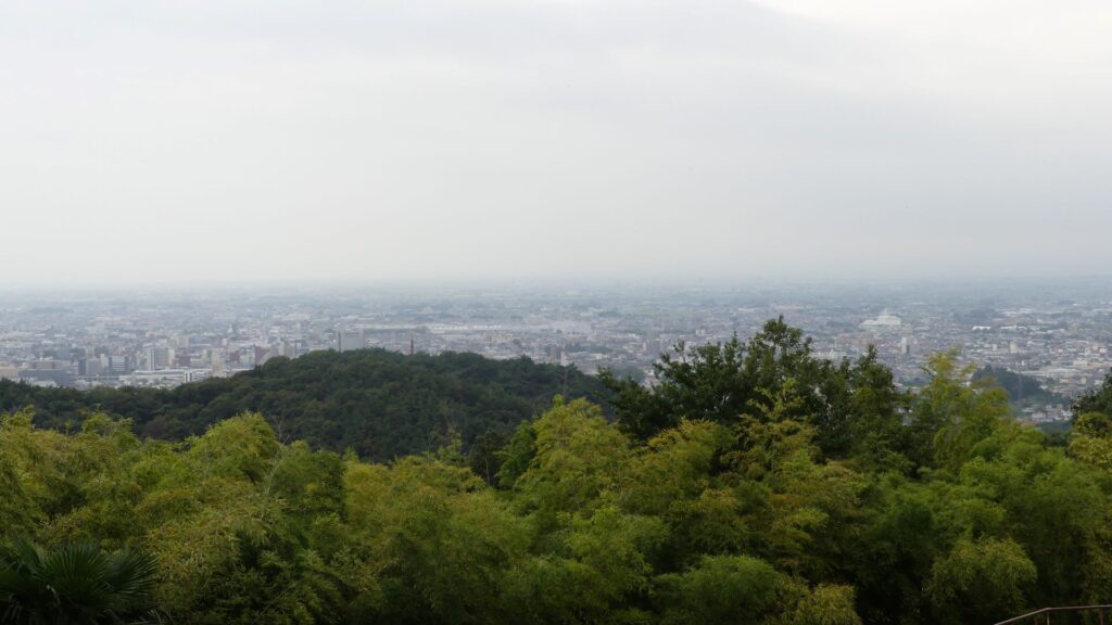
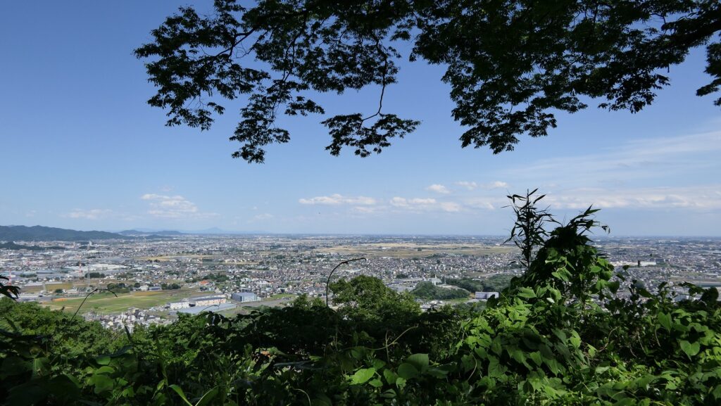
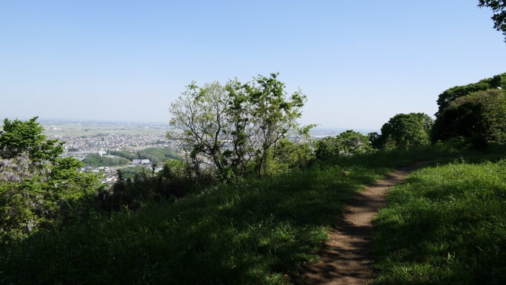
The tower above the entrance was rebuilt as an observation platform, where you can see great views of the city area and mountains around. This area must have been a pivot point of the castle.
The rebuilt tower as an observation platformLooking down the entrance from the towerA view from the tower
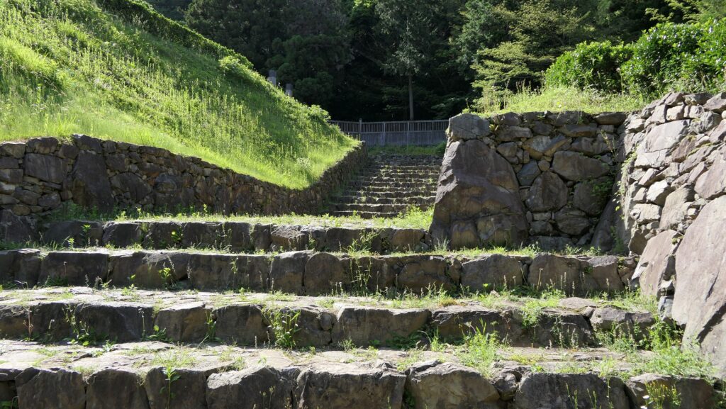
Restored Main Entrance with Stone Walls and Paving
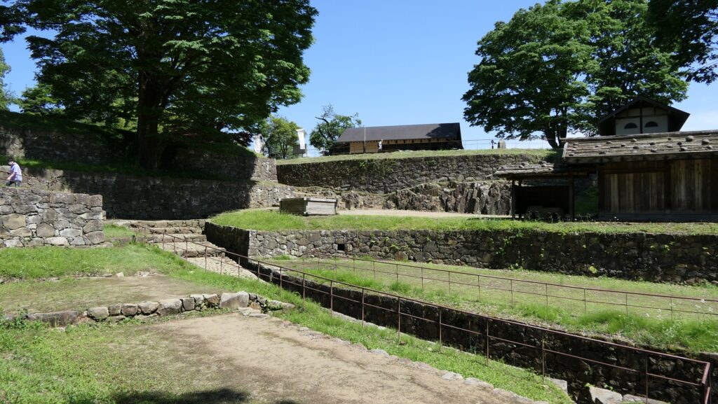
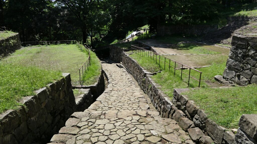
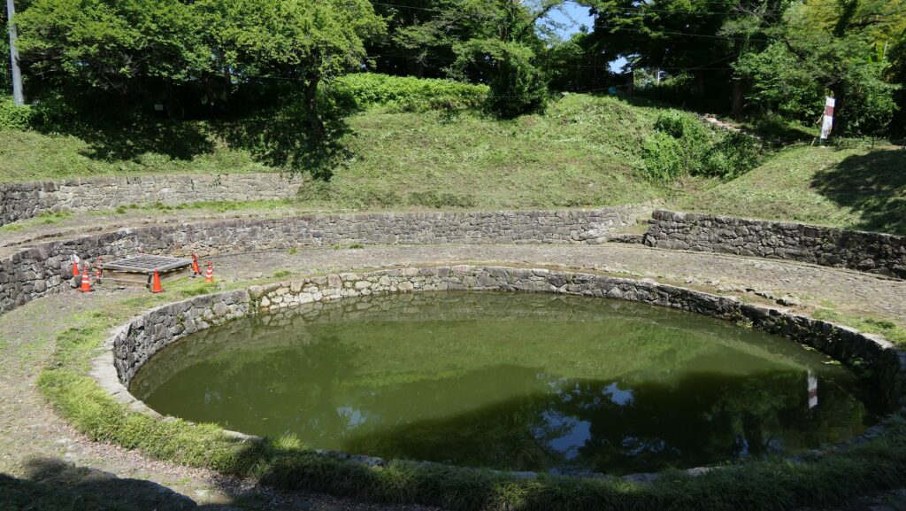
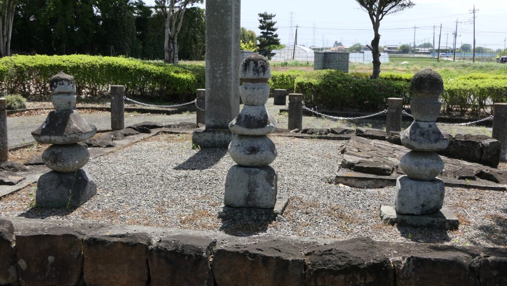
Next comes the main portion of the castle, called Mijo, which is divided by the Large Ditch, the largest one in the castle, and a small reservoir being covered with stone mounds, called Tsuki-no-ike or the Moon Pond.
The map of the main portion of the castle
The Large DitchThe Moon Pond
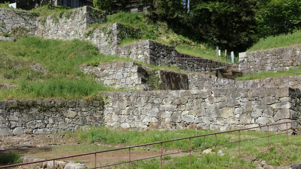
Over the pond, you will see the outstanding Main Entrance in a valley, which are surrounded by great several tiered stone walls on both sides. The entrance also has stone paving with drainage ditches, so it looks like a European castle. These stone walls were recently restored by the officials based on the achievements of the excavations and studies, partially using the original stones.
The restored Main EntranceThe several tiered stone walls on the northern side of the valleySeeing the southern side of the valley from the northern sideSeeing the Main Entrance from the inside
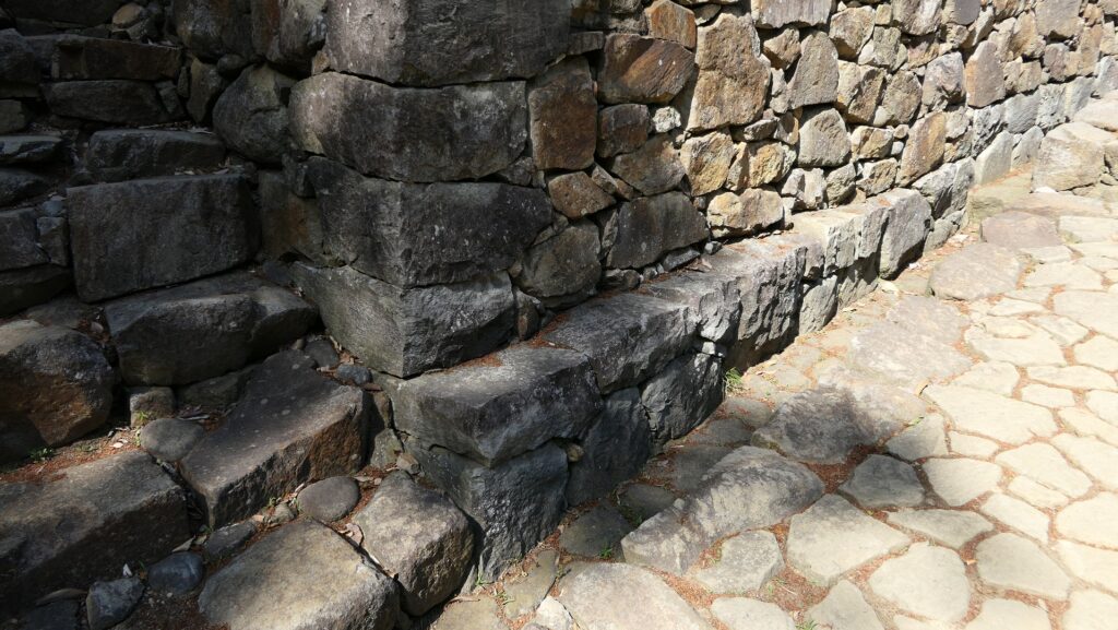
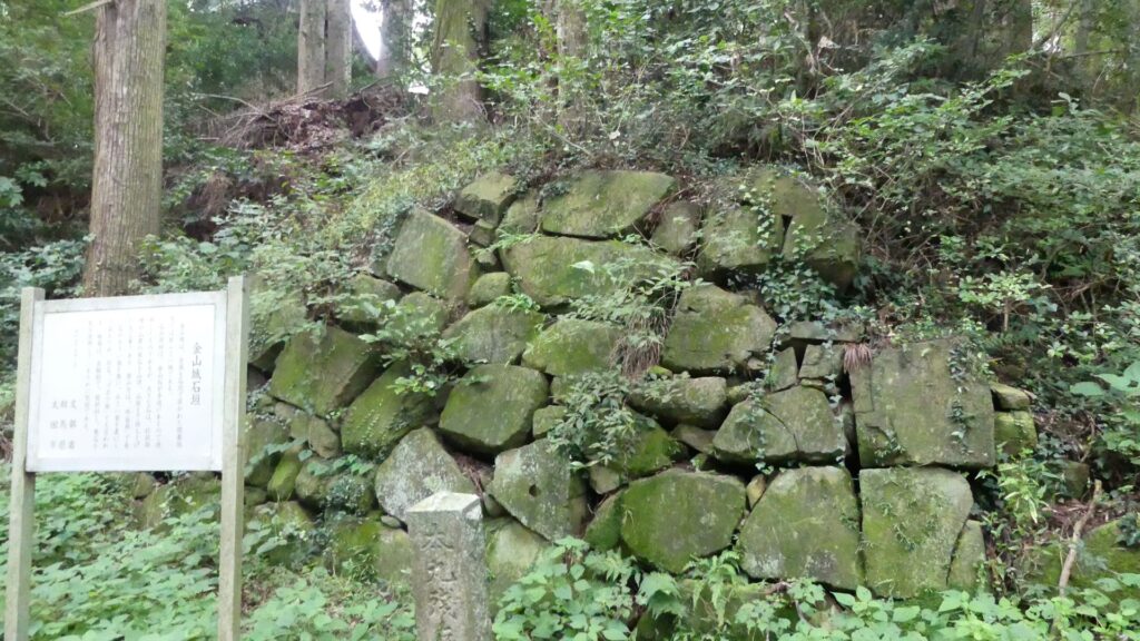
They were thought to be completed by the Hojo Clan, the final owner of the castle. This is because they were piled in a method called Agodome style (in which all the stones in the bottom row are layered heavily to prevent the walls from collapsing) which the clan used in Hachioji Castle, their other branch castle. However, the excavation team also found that the stone walls were improved many times, so other clans might have started to build them.
A part of the stone walls, having the Agodashi styleThe ruins of Hachioji Castle
An important and strong castle in the northern Kanto Region
Location and History
Yoshisada Nitta comes from Nitta Manor
Kanayama Castle was located on Kanayama Mountain in modern day Ota City, Gunma Prefecture. The area around the city was called Nitta Manor in the Middle Ages, where the Nitta Clan, a relative of the Minamoto Clan which originated from the Imperial Family, settled in. It was on Tozando Route, a major one in Kanto Region, and was sandwiched between Tone River and Watarase River, two major ones in the region as well. In the past, large rivers could provide rich farmland, water transportation, and even barriers when a battle happened. That’s why the area of Nitta Manor was considered important.
The range of Ota City and the location of the castle
Iezumi Iwamatsu builds Castle
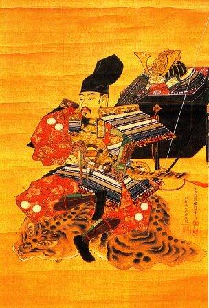
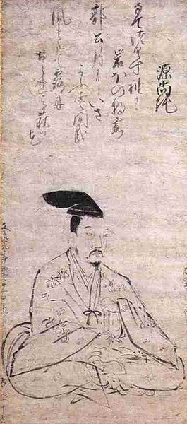
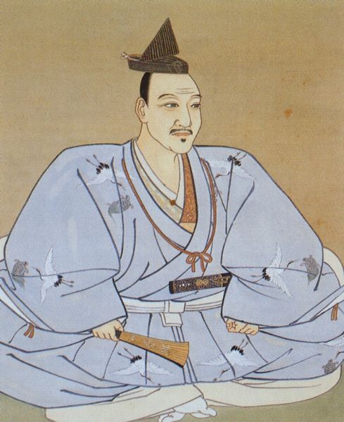
Yoshisada Nitta is the most famous person of the clan, who attacked and defeated the Kamakura Shogunate in 1333. However, he was unfortunately defeated in 1338 by troops of the Ashikaga Shogunate which Takauji Ashikaga who was also a descendant of the Minamoto Clan established. After that, the Iwamatsu Clan, a branch of the Nitta but supporting the shogunate, followed the manor. The lord of the clan originally lived in the hall on a plain area, called the Iwamatsu Hall. However, it got too dangerous to continue to do so, because many battles happened all over the Kanto Region since the Kyotoku War started back in 1454. Therefore, the lord of the clan at that time, Iezumi Iwamatsu decided to build his new home base on Kanayama Mountain in the northern part of the manor, which would eventually be completed in 1469, and be called Kanayama Castle.
The portrait of Yoshisada Nitta, owned by Fujishima Shrine (licensed under Public Domain via Wikimedia Commons)The ruins of Iwamatsu Hall which has become Shorenji TempleA view of Kanayama Mountain seen from around Iwamatsu Hall Ruins
Yura Clan overthrows Iwamatsu Clan
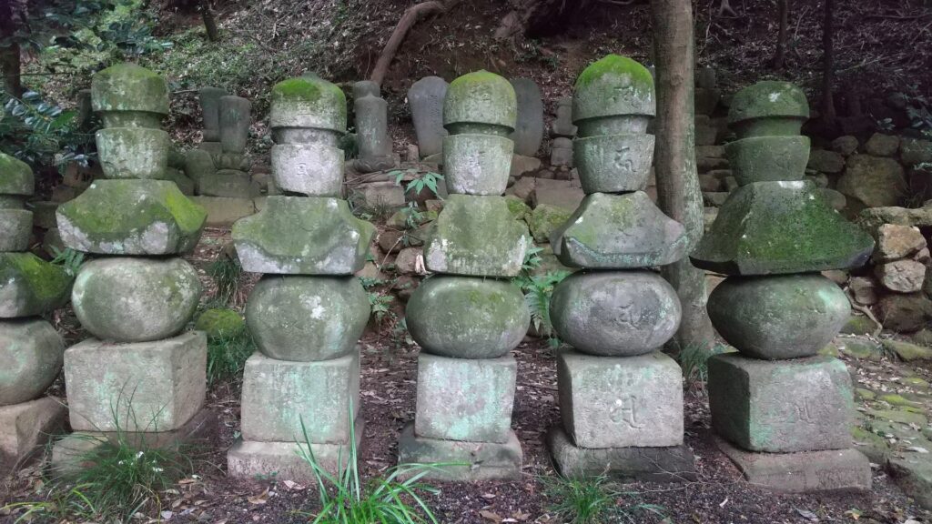
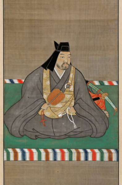
In the Sengoku Period when the Kanayama Castle was active, a popular trend called Gekokujo or Overthrowing their lords was often seen. In the case of the Iwamatsu Clan, their senior vassal, the Yokose Clan overthrew the Iwamatsu Clan, by supporting a puppet lord and killing an unmanageable lord. For example, the lord, Naozumi Iwamatsu was forced to retire and devote all of himself to the field of linked poem called Renga. The Yokose Clan finally changed their family name to the Yura Clan, declaring they were actually another branch of the Nitta Clan, which also meant a descendant of the Minamoto Clan. They needed not only real power but also the authority the people could respect, to survive as a local warlord during the period.
The self-portrait of Naozumi Iwamatsu, owned by Shorenji Temple, one of the earliest self-portraits in Japan (licensed under Public Domain via Wikimedia Commons)The tomb of Naozumi Iwamatsu, located near Shorenji Temple
Hojo Clan takes over and completes Castle
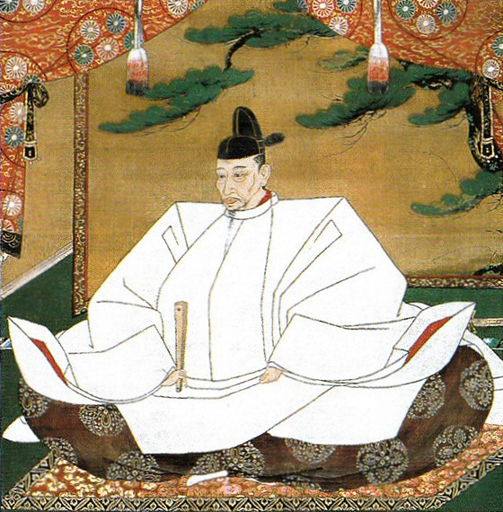
In the late 16th Century, much larger warlords than the Yura Clan, such as the Hojo, Uesugi, and Takeda Clans, battled each other over the Kanto Region. The policy of the Yura Clan was to deal and follow the strongest warlord each time as other local lords did. The lord of the clan, Narishige Yura even mediated between the Hojo Clan and Uesugi Clan in 1569 to provide Kanayama Castle for their negotiation, but unfortunately, the alliance lasted only a short time. The clan following one great warlord meant that they could be attacked by other great warlords. Kanayama Castle was actually attacked several times by all the three warlords, the Hojo, Uesugi, and the Takeda, however, never failed. That’s why this castle was considered impregnable and called one of the Seven Great Castles in the Kanto Region. The Kanto Region eventually belonged to the Hojo Clan, which forced the Yura Clan to hand Kanayama Castle over to the Hojo Clan in 1585.
The tomb of Narishige Yura (in the center) at Kinryuji Temple near the castle ruinsThe portrait of Ujiyasu Hojo whom Naozumi suggested the alliance with the Uesugi Clan, owned by Odawara Castle (licensed under Public Domain via Wikimedia Commons)The portrait of Kenshin Uesugi whom Naozumi suggested the alliance with the Hojo Clan, owned by Uesugi Shrine (licensed under Public Domain via Wikimedia Commons)
The first stage of Kanayama Castle seemed to be built on around the top of the mountain and made of soil. As time passed by, the castle was developed and improved greatly. It is said that the Hojo Clan completed the final version of the castle. They expanded the range of the castle from the top to the western and southern ridges of the mountain. They also improved the main portion of the castle by building stone walls and even stone paving. The castle didn’t have the Main Tower which major castles in western Japan often had, but it is very rare case for those in eastern Japan to have full-scale stone walls at that time.
The restored Main Entrance of Kanayama CastleThe miniature model of the Main Entrance of Kanayama Castle, exhibited by Historic Site Kanayama Castle Guidance Facility
Abrupt ending of Castle
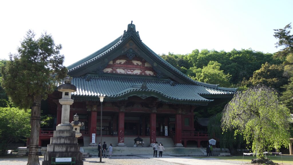
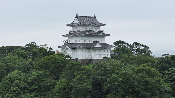
The main history of Kanayama Castle ended all too soon in 1590 when the ruler, Hideyoshi Toyotomi invaded the Hojo’s territory in order to unify Japan. Kanayama Castle was governed by the Hojo’s retainers, but many of them were ordered to gather in Odawara Castle, the Hojo’s home base, so only a few defenders remained in Kanayama Castle. That’s why they had to surrender and open it when they were attacked by the invasion troops led by Toshiie Maeda. After that, the castle was eventually abandoned.
The Portrait of Hideyoshi Toyotomi, attributed to Mitsunobu Kano, owned by Kodaiji Temple (licensed under Public Domain via Wikimedia Commons)Odawara Castle