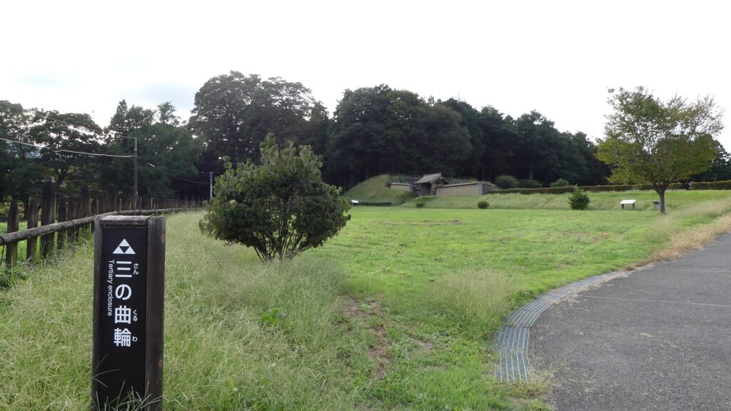
18.Hachigata Castle Part3

I climbed Kuruma-yama Mountain to its top to confirm that the idea of the attackers firing upon the castle in the battle in 1590 would was realistic.

Features

Well-Restored Dry Moats

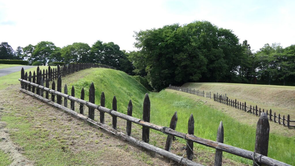
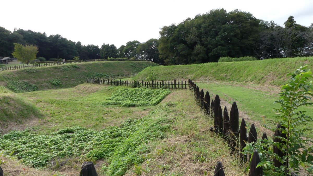
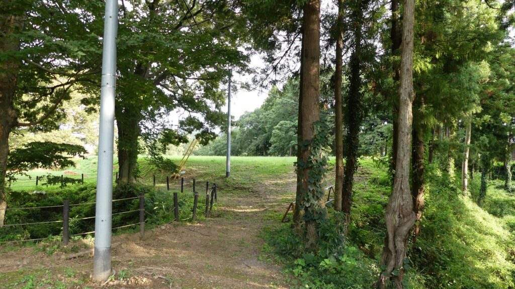
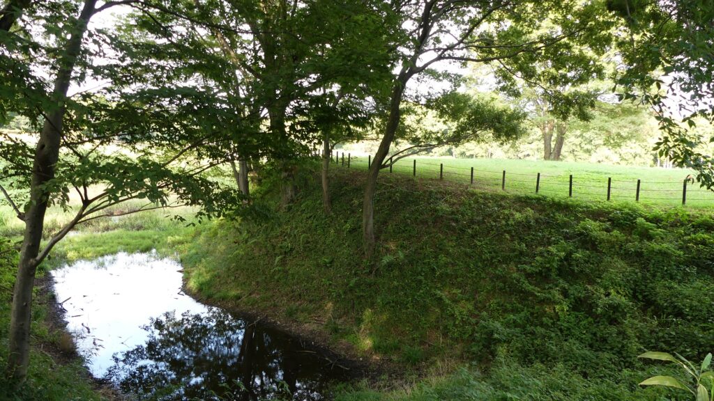
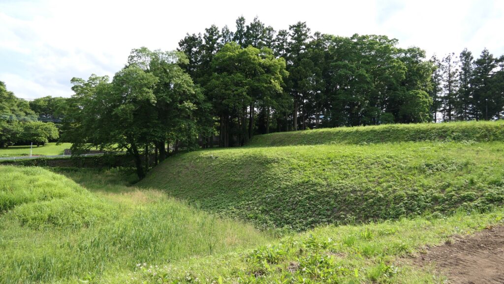
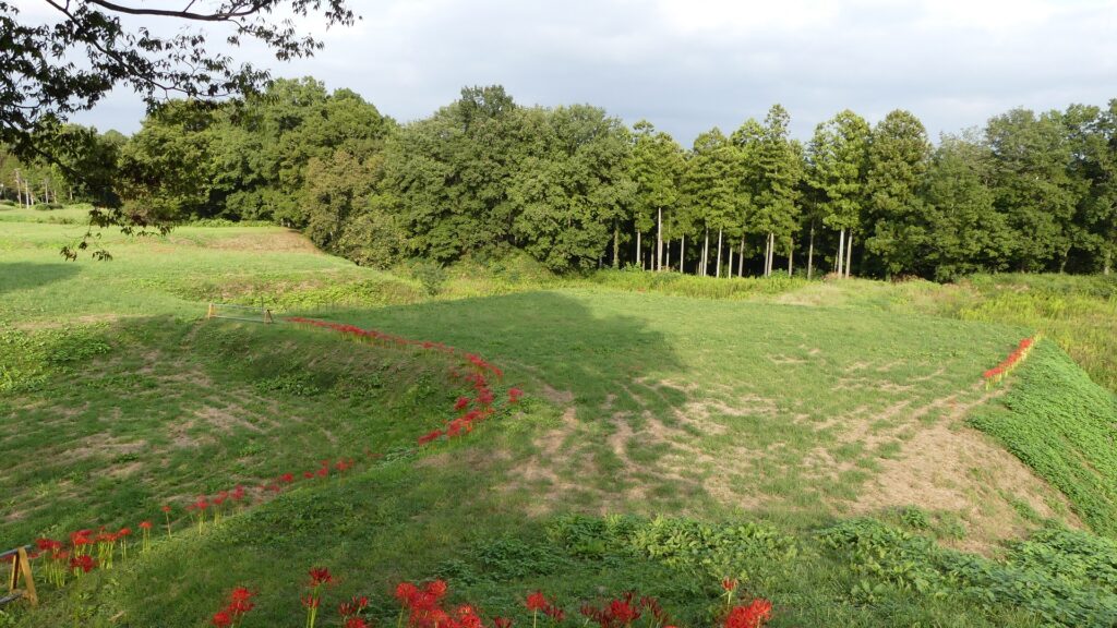
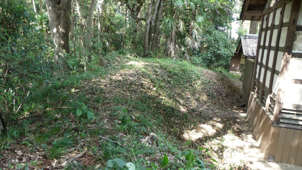
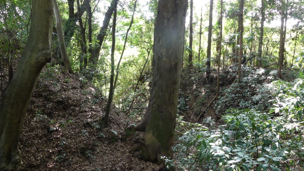
Zigzagged large dry moats with wooden fences between the Third and Second Enclosures, which allowed the defenders to attack enemies’ sides, have also been restored. Only two routes were available between them – the one via the Main Route and the other via the well restored Umadashi system. Also, if you compare the two enclosures, you will find the Third is higher than the Second. In other castles, the Second (which is closer to the Main Enclosure) is usually higher than the Third. However, in the case of Hachigata Castle, it is the other way around. In addition, the Third Enclosure had strong defense systems with four Umadashi which are originally designed by the Hojo Clan. That’s why author, Jun Ito says the Hojo Clan might have moved the center of the castle from the Main Enclosure to the Third in the final stages of the castle.

The aerial photo around the castle. the red markers indicates the four Umadashi systems
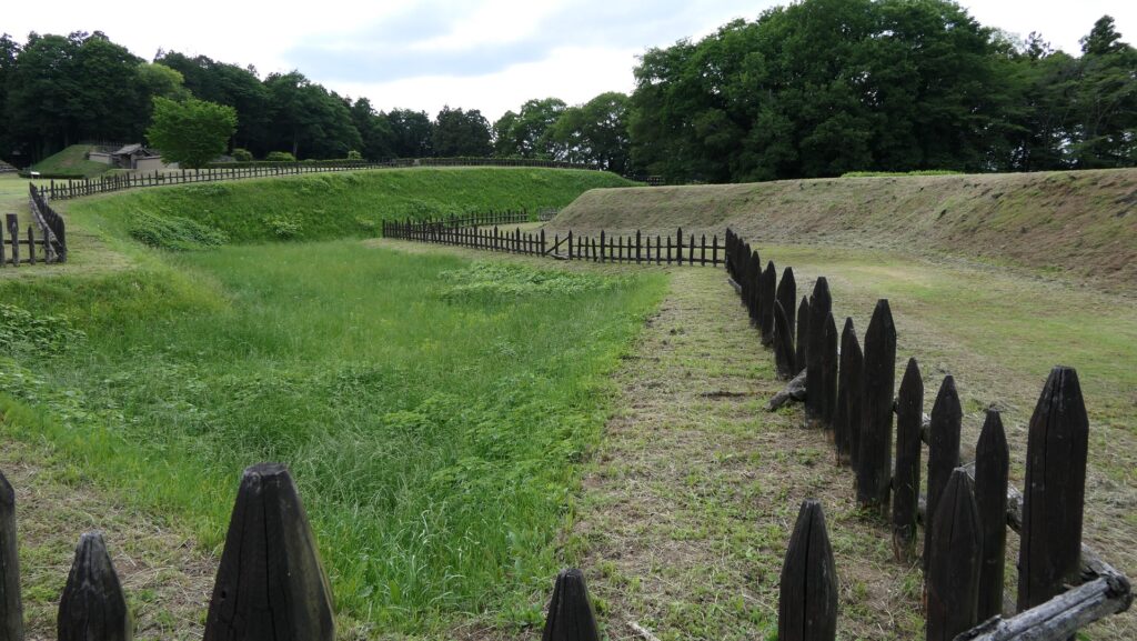
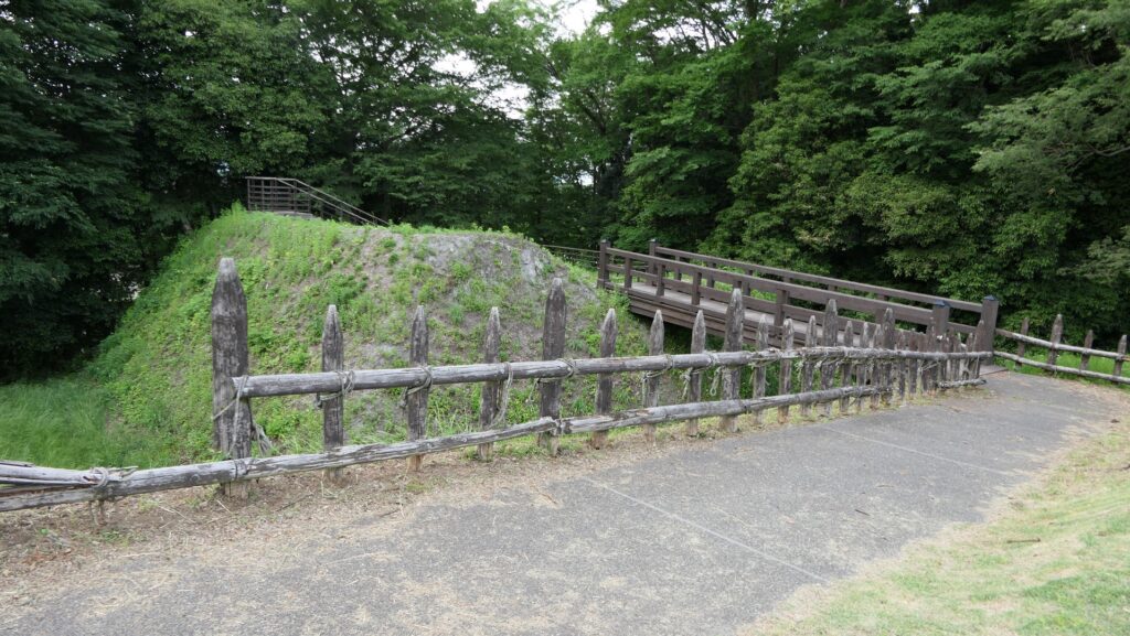
The dry moats between the Third and Second Enclosures
The Umadashi system connecting the Third and Second Enclosures
The Third Enclosure is higher than the Second one
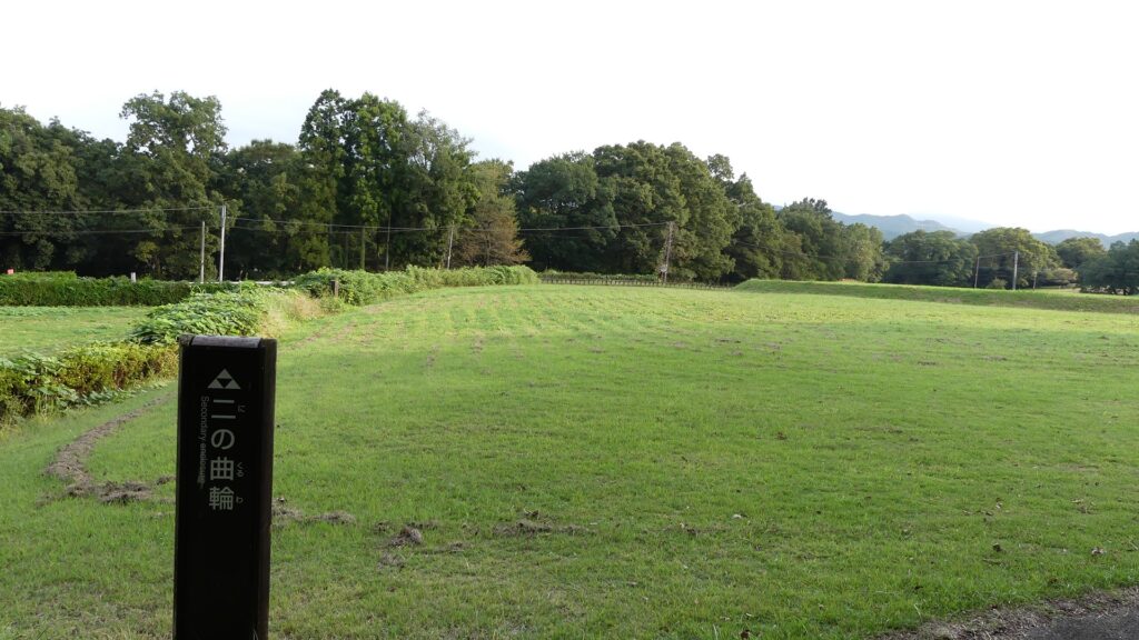
The Second Enclosure

Panorama of Main Enclosure

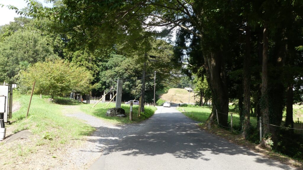
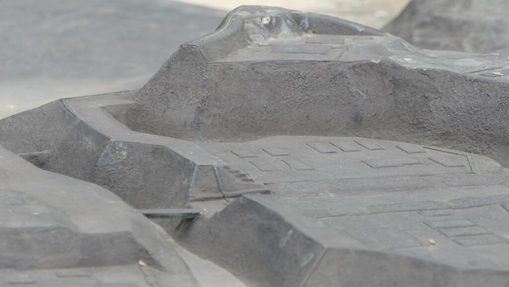
A paved car road goes between the Second and Main Enclosures, so it may be difficult to imagine what it used to look like. According to information at the Hachigata Castle History Museum, there used to be a large gate to the Main Enclosure and a wooden bridge over the deep dry moat in front of the gate.

The map around the castle
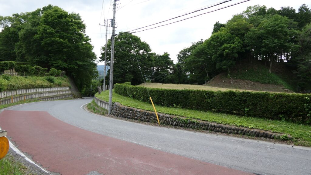
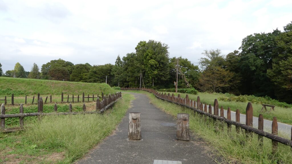
The paved car road between the Second and Main Enclosures
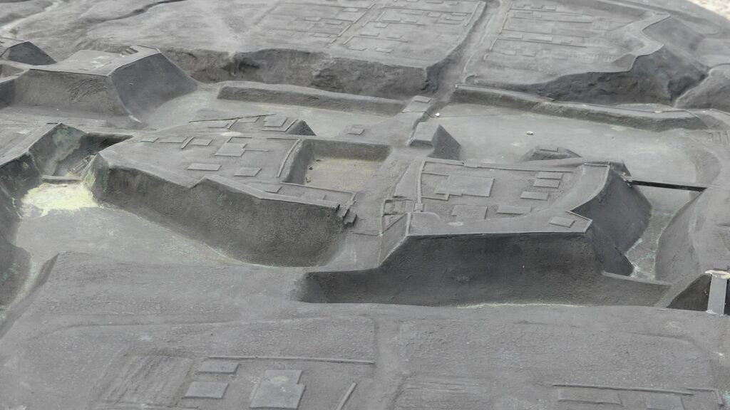
The part of the entrance to the Main Enclosure in the diorama

The enclosure has the other peak of the castle, standing beside a 30m tall cliff. no castle buildings remain, and it is purely made of soil, but the ground is still leveled so you can imagine the Main Hall for the lord as it was in the past. You can enjoy a great view of the Arakawa River and the surrounding area from the peak. You can also understand how the castle was naturally protected.
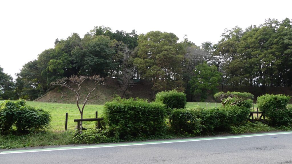
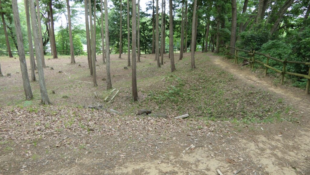
The Main Enclosure
The ruins of buildings on the enclosure
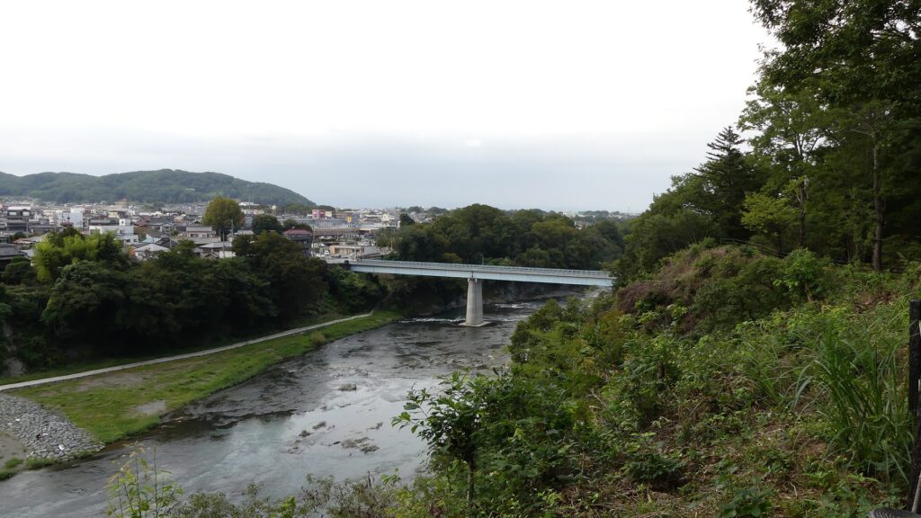
A view from the enclosure

You will finally reach the Sasa Enclosure, near the tip, which is lower than the Main Enclosure. It is another entrance to the castle ruins, beside Shoki-bashi Bridge.
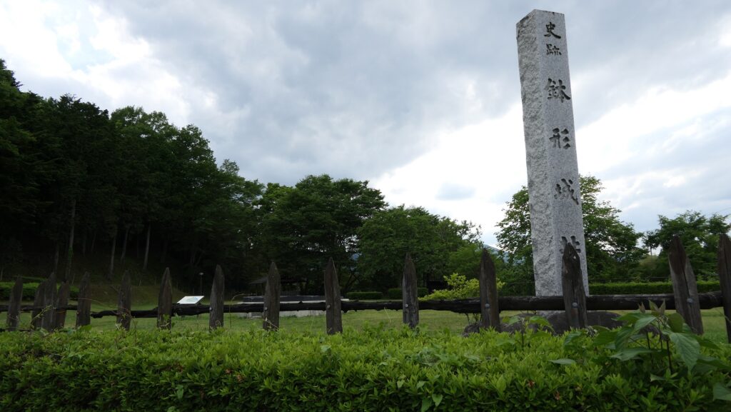
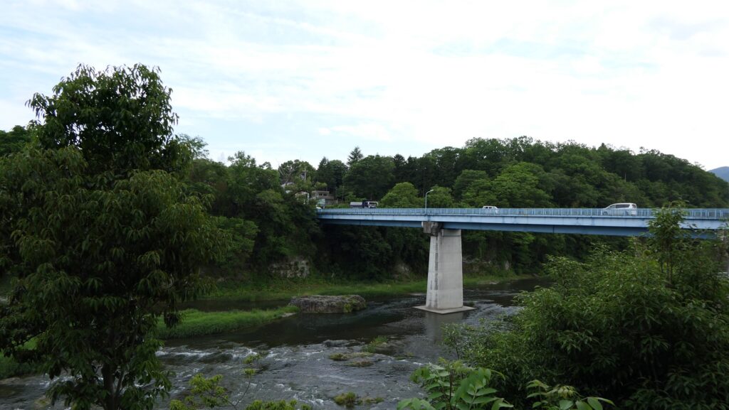
The Sasa Enclosure
The Shoki-bashi Bridge beside the castle ruins

The tip area is a private area where visitors can’t enter, so you can only see this area from the opposite side of the river. If you cross to the opposite, you should check out another great view of the castle ruins on the cliff from the Tamayodo riverbed beside the bridge.
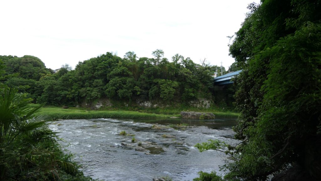
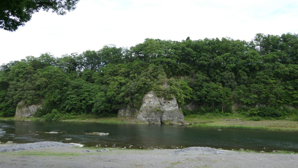
The tip area seen from the opposite side
The castle ruins seen from the Tamayodo riverbed

Later History

At the beginning of the Showa era (around 1930), the JR Hachiko line was planned to be constructed through the ruins. Locals argued the plan needed to be changed and asked the government to preserve the ruins. They were successful and the ruins was designated as a National Historic Site in 1932. Yorii Town excavated and researched the Second, Third and Sasa Enclosures between 1997 and 2001. Based on these achievements, the town developed the Hachigata Castle Park and restored some structures of the castle. It also opened the Hachigata Castle History Museum in 2004 to display and educate people about the history of the castle and the studies into it.
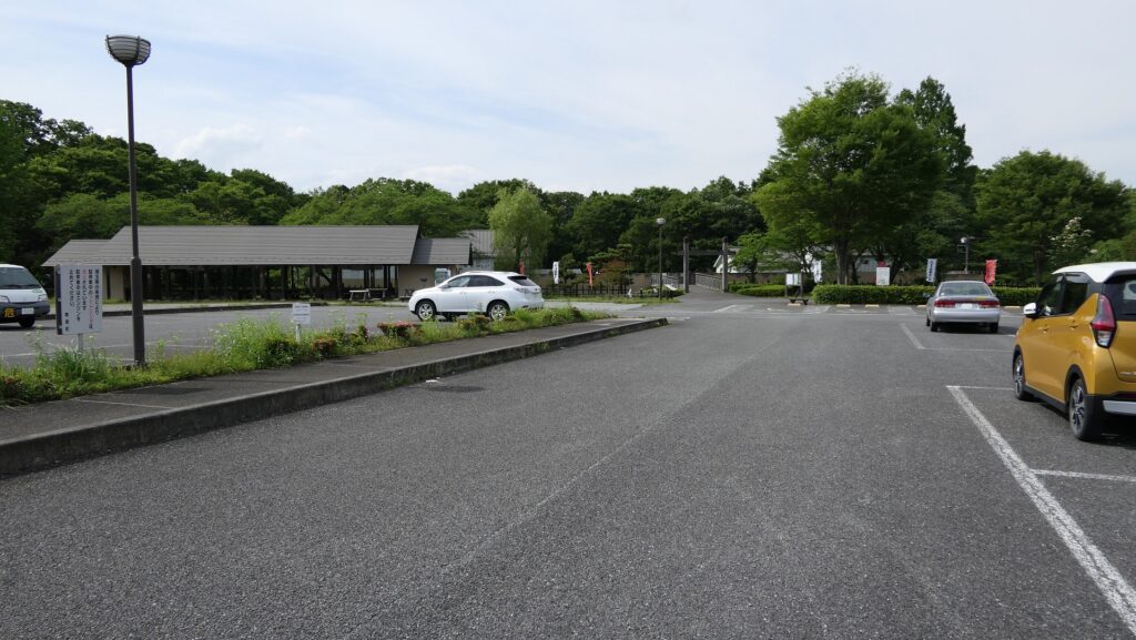
The Hachigata Castle History Museum

My Impression

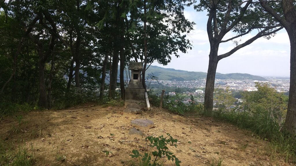
I climbed Kuruma-yama Mountain to its top to confirm that the idea of the attackers firing upon the castle in the battle in 1590 would was realistic. It is widely accepted that General, Tadakatsu Honda brought large guns, fired upon the castle, and broke the Main Gate. The mountain is 227m above sea level and about 100m above the castle, which is about 1km away (the Third Enclosure). A view of the castle ruins from above was actually not good because of the trees surrounding. My conclusion is that not all of the wildly accepted lore is correct. I think the firing itself is the fact, because a large gun shell of several cm in diameter was excavated from the Outer Enclosure of the castle. However, I don’t think shooting from the mountain would have been useful. In the winter campaign of the siege of Osaka in 1614, Ieyasu Tokugawa borrowed the large Western guns and fired upon Osaka Castle from his stronghold on a river delta , about 500m away the castle. Considering this case, shooting at the castle using (probably) Japanese guns 24 years previously, from more than 500m away, even from a mountain could not be done. My speculation is that Tadakatsu put his stronghold on the mountain but fired upon the castle from a place much closer to it than the mountain.
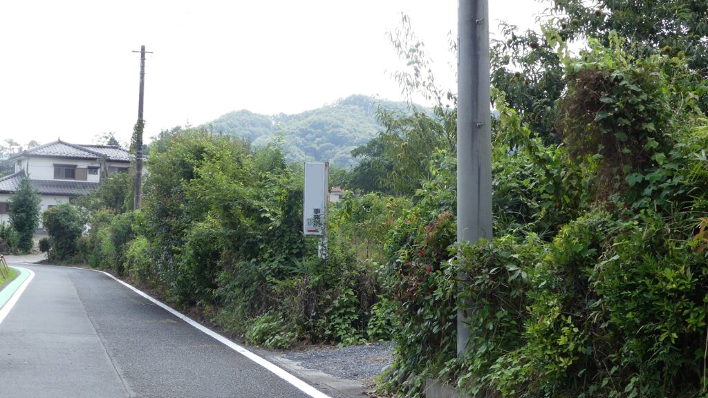
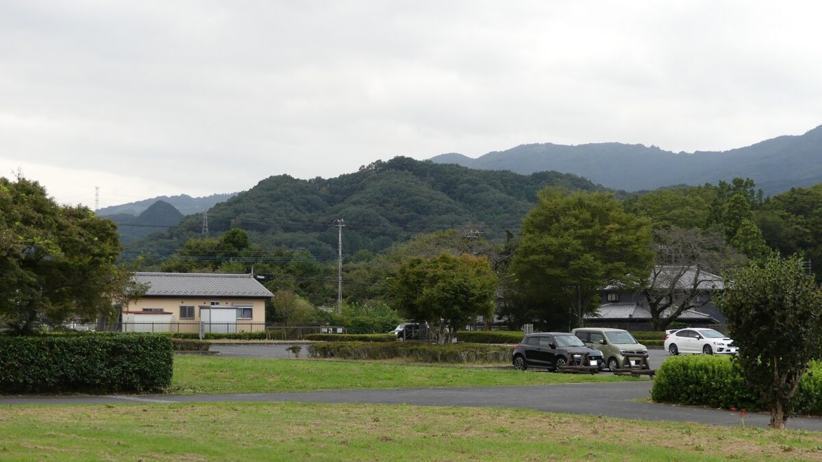
The Kurumayama Mountain seen from around the southern entrance of the ruins
The top of the mountain
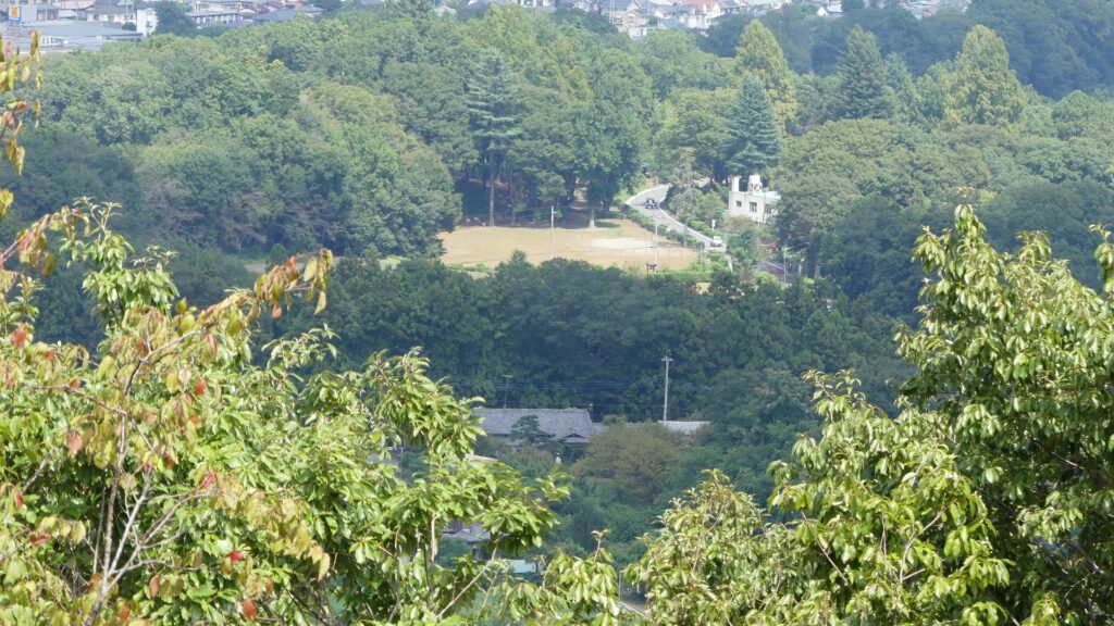
I could just see part of the Main Enclosure from the top due to the trees surrounding
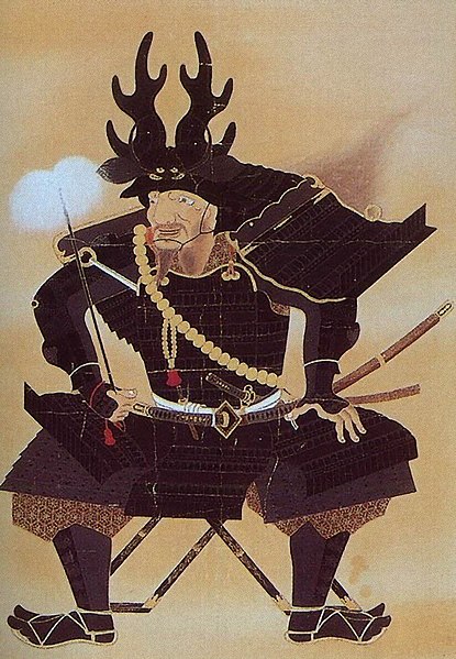
The portrait of Tadakatsu Honda, owned by Ryogenji Temple (licensed under Public Domain via Wikimedia Commons)

The relief map around Hachigata Castle

The relief map around Osaka Castle, using the same reduced scale as above

How to get There

I recommend using a car when you visit the castle ruins because there are only a few buses available. It is about a 20-minute drive away from Hanazono IC on the Kanetsu Expressway. There are several parking lots in the park.
If you want to use public transportation, it takes about 30 minutes on foot to get there form Yorii Station.
From Tokyo to Yorii Station.: Take the Tobu-Tojo line from Ikebukuro Station, or take the Joetsu Shinkansen super express from Tokyo Station to Kumagata Station, and transfer to Chichibu Railway.

That’s all. Thank you.
Back to “Hachigata Castle Part1”
Back to “Hachigata Castle Part2”

18.鉢形城 その3

1590年の戦いにおいて攻撃軍が車山から城へ砲撃したと伝わる話がありうることなのか確かめるために、実際に山の上まで登ってみました。

特徴、見どころ

よく復元されている空堀

三の曲輪と二の曲輪の間には、大規模な空堀が木柵とともに復元されています。堀のラインは折り曲げられていて、守備兵が敵の側面を攻撃できるようになっています。曲輪間を行き来できる場所は2ヶ所だけで、大手道から続く通路と、よく復元されている馬出しのところです。また、これら2つの曲輪を見比べてみると、三の曲輪の方が二の曲輪より高い位置にあることがわかります。他の城では通常、本丸に近い二の丸の方が三の丸より高いところにあります。しかし、鉢形城の場合はそうはなっていません。加えて、三の曲輪は北条氏により改修された結果、4つの馬出しがある強力な防御システムを持つに至りました。作家の伊東潤は、北条氏は城の最終段階において、城の中心部を本曲輪から三の曲輪に移したのではないかと言っています。

城周辺の航空写真、赤いマーカーは4つの馬出しの場所を示しています

三の曲輪と二の曲輪の間の空堀
三の曲輪と二の曲輪をつなぐ馬出し
三の曲輪の方が二の曲輪より高い位置にあります
二の曲輪

本曲輪の素晴らしい景観

舗装された自動車道が二の曲輪と本曲輪の間を通っていて、この辺りが過去にどのようであったのか想像するのは難しいかもしれません。鉢形城歴史館での情報によると、その辺りには本曲輪に入っていくための大門があり、門の前には深い空堀があり、木橋が掛けられていたとのことです。

城周辺の地図

二の曲輪と本曲輪の間には自動車道が走っています
現地にある城ジオラマでの本曲輪への入口部分

本曲輪は城のもう一つの高地で、30mの高さの崖の上にあります。城に関する建物はありませんし、純粋な土造りの曲輪です。しかし、整地されていることが今でも見て取れるため、過去には城主の御殿があったのだろうと想像することができます。その高みからは、眼下の荒川とその周辺地域の素晴らしい景色が見えます。また、自然の要害により城が守られてきたことも理解できると思います。

本曲輪
本曲輪上の建物跡
本曲輪からの景色

そして最後には、崖の突端の近くの笹曲輪に到着します。ここは本曲輪より低い位置にあって、荒川に掛かる正喜(しょうき)橋のたもとにあり。城跡の入口にもなっています。

笹曲輪
城跡にかかる正喜橋

崖の先端は私有地になっていて立ち入りはできないので、川の反対側からしか見ることができません。もしその対岸に渡られたのでしたら、橋から下ったところにある玉淀河原から崖の上にある城跡の素晴らしい景色をご覧になってはいかがでしょうか。

対岸から見た崖の先端部分
玉淀河原から見た城跡

その後

昭和時代の初期(1930年辺り)、JR八高線の建設が城跡を貫く路線で検討されていました。地元の人たちは、路線を変更することと、城跡の保存を政府に請願しました。この運動は成功を収め、城跡は1932年に国の史跡に指定されました。寄居町は1997年から2001年の間に二の曲輪、三の曲輪、笹曲輪の発掘調査を行いました。この成果に基づき、鉢形城公園がオープンし、城の構造物が復元公開されました。2004年には鉢形城歴史館が開館し、城の歴史や研究に関する展示があり、ビジターが見学できるようになっています。

鉢形城歴史館

私の感想

私は、1590年の戦いにおいて攻撃軍が車山から城へ砲撃したと伝わる話がありうることなのか確かめるために、実際に山の上まで登ってみました。攻撃軍の武将、本田忠勝が大鉄砲を山に引き上げ、城を砲撃し、大手門を破壊したというのです。車山は標高227mで、城からは約100m高いところにあります。そして、城の三の曲輪からは約1km離れています。山頂から見る城の眺望は、周りに茂っている木々のためにあまりよくありませんでした。個人的な結論を申し上げると、この伝承の全てが本当とは限らないということです。砲撃を行ったというのは事実でしょう。数cmの大きさの大鉄砲の弾が、城の外曲輪から発掘されているからです。しかしながら、それを山の上から行うことが有効であったとは思えません。1614年の大坂冬の陣において、徳川家康は西洋の大砲を借りてきて、川のデルタ地帯にあった陣地から大坂城への砲撃を行いました。城へは約500mの距離がありました。この実績によって考えると、これより24年前に恐らくは日本製の鉄砲を使って、500mも余計に遠くから砲撃することは、たとえ山の上からとはいってもあり得ないという結論です。想像ですが、忠勝は山上に陣地を置いたけれども、ずっと城に近いところから砲撃を加えたのではないでしょうか。

城跡の南側入口周辺から見た車山
車山の頂上
城跡は草木のために本曲輪の一部しか見えませんでした
本多忠勝肖像画、良玄寺蔵 (licensed under Public Domain via Wikimedia Commons)

鉢形城周辺の起伏地図

大坂城周辺の地図(上と同じ縮尺にしています)

ここに行くには

この城跡を訪れるには、車を使われることをお勧めします。バス便がほとんどないからです。関越自動車道の花園ICから約20分かかります。公園の中にいくつも駐車場があります。
公共交通機関を使う場合は、寄居駅から歩いて約30分かかります。
東京から寄居駅まで:池袋駅から東武東上線に乗るか、東京駅から上越新幹線に乗って、熊谷駅から秩父鉄道に乗り換えてください。

リンク、参考情報

鉢形城公園案内、寄居町公式ホームページ
・「太田道灌と長尾景春/黒田基樹著」戒光祥出版
・「城を攻める 城を守る/伊東潤著」講談社現代新書
・「北条氏康の子供たち/黒田基樹・朝倉直美編」宮帯出版社
・「北条氏邦と鉢形領支配/梅沢太久夫著」まつやま書房

これで終わります。ありがとうございました。
「鉢形城その1」に戻ります。
「鉢形城その2」に戻ります。

18.Hachigata Castle Part2

In this article, let us simulate walking from the outer southern edge of the castle through the center to the tip.

Features

Castle becomes Hachigata Castle Park

Today, the ruins of Hachigata Castle have widely been developed as Hachigata Castle Park of about 5 hectare.s Many people visit to see the historical artifacts on display in the castle, as well as enjoy walking and relaxing in a nature setting. For example, there is a big cherry blossom tree which has recently become popular, called “Ujikuni Sakura (Cherry Blossom)”, named after the lord of the castle, Ujikuni Hojo. I recommend you allow yourself enough time to walk around the park to check the important artifacts of the castle and hopefully discover more interesting things to you. In this article, let us simulate walking from the outer southern edge of the castle (the outside of the Third Enclosure) through the center (the Main Enclosure) to the tip (near the meeting point of the rivers).

The big cherry blossom tree, “Ujikuni Sakura”

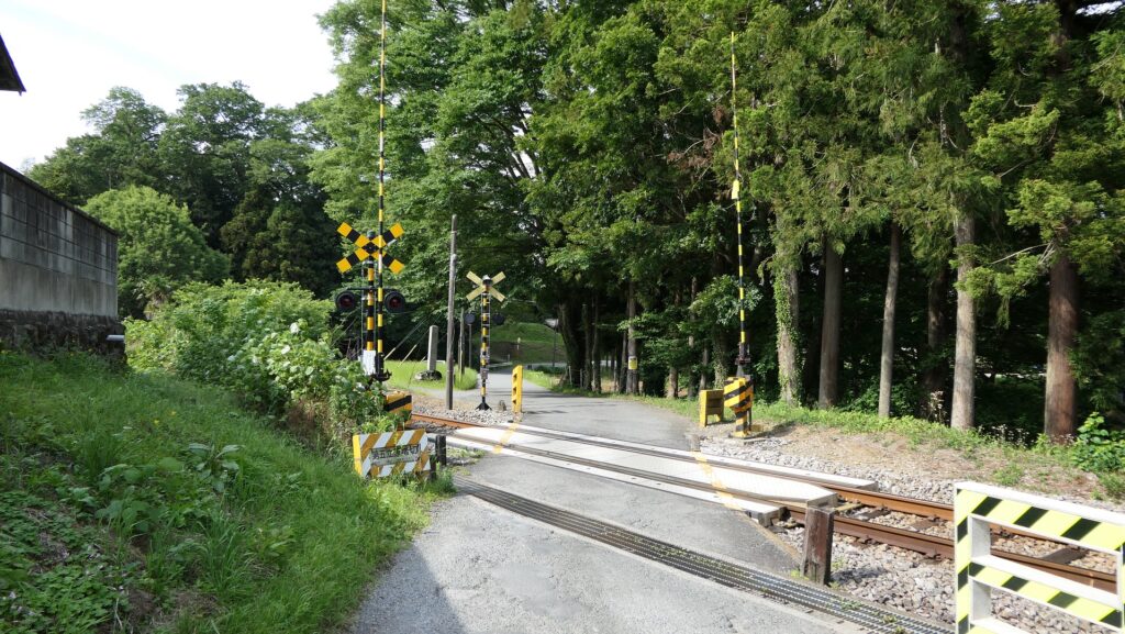
The front of the castle is near the railway crossing between the path and the Hachiko Line. The path after the crossing will divide into three – the centeral paved one which visitors usually go, the right one which was the Main Route, and the left one which leads to the Third Enclosure. The first route is convenient for casual visitors, however, we will take the second and third this time, in order to follow the original routes as closely as possible.

The map around the castle, the red broken line shows the route similar to the original Main Route and the blue broken line shows the route to the Third Enclosure

The railway crossing
The junction of the three routes

Going on Main Route

The right Main Route goes over some large deep moats beside the Main Route Enclosure, which could have been defensive.

The right Main Route
The moat beside the entrance of the route (on the left)
The Main Route Enclosure on the right

The route next turns left at a square Umadashi enclosure, which was the key to the castle’s defenses. From there, it goes towards the center of the castle and finally reaches the border of the Third and then Second Enclosures.

The route turns left at the Umadashi Enclosure
It goes to the Second Enclosure
The part of the Main Route in the castle diorama

You can see another Umadashi enclosure from the outside at the point, but originally, the route would have passed through it.

Another Umadashi is outside on the right
The route goes straight to the Second Enclosure, not thought the Umadashi
The route passed thought the Umadashi according to the diorama

Going to Third Enclosure via Suwa Enclosure

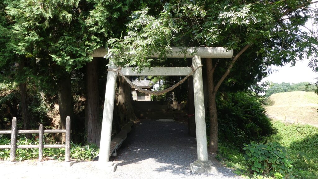
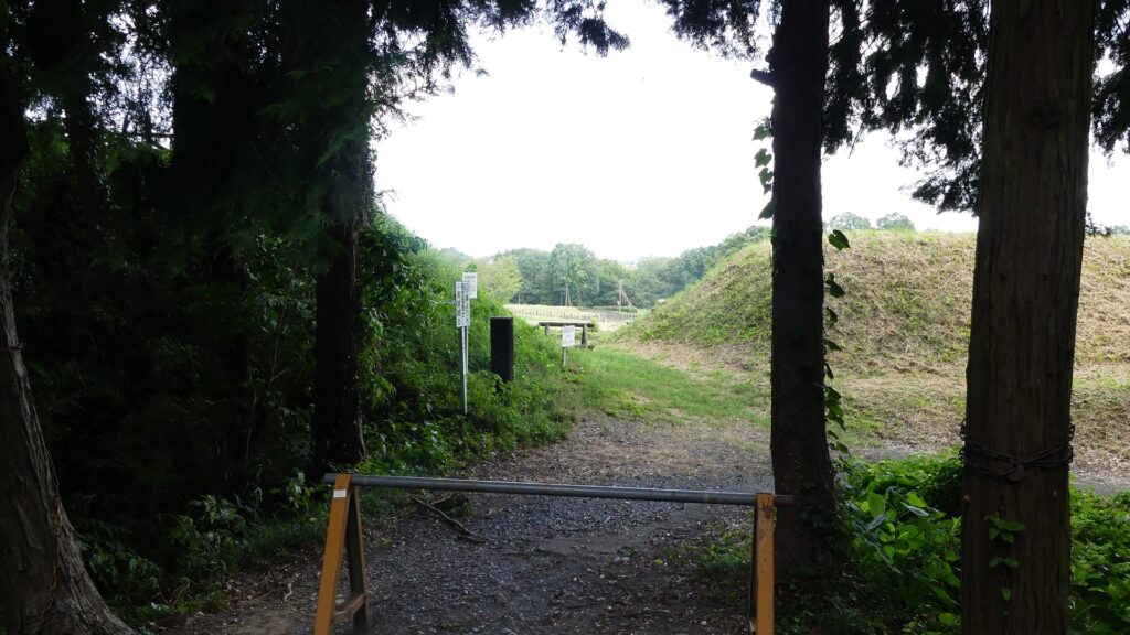
The left route is currently the approach to Suwa Shrine, also called the Suwa Enclosure. It is a square patch of land, still surrounded by earthen walls and deep dry moats, which are obviously a type of Umadashi system.

Entering the Suwa Enclosure
The earthen walls surrounding the enclosure
The dry moat outside the earthen walls

Another narrow path connects one side of the Umadashi to the entrance of the Third Enclosure, which looks very defensive. These are typical of the Hachigata Castle defense system.

Going from Umadashi of the Suwa Enclosure to the Third Enclosure
The entrance of the Third Enclosure, viewed from inside
The part of the Suwa Enclosure, the red arrow indicates the direction of the current route

Third Enclosure as Important Site

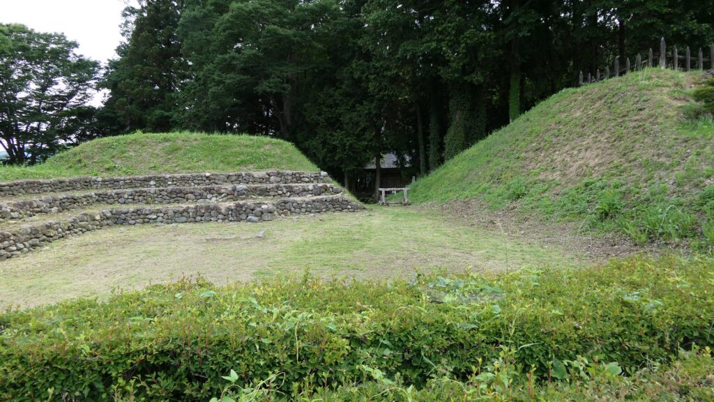
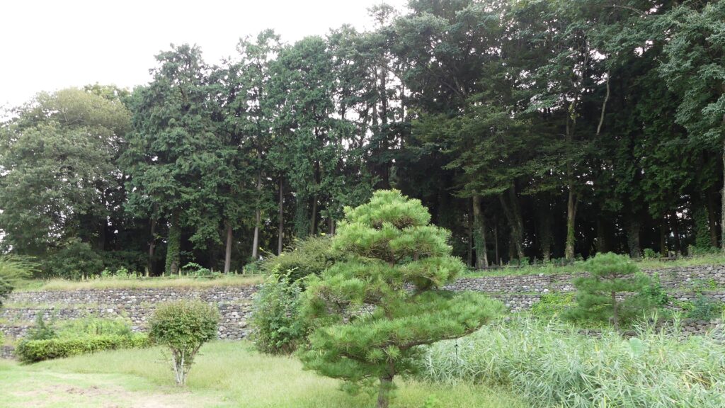
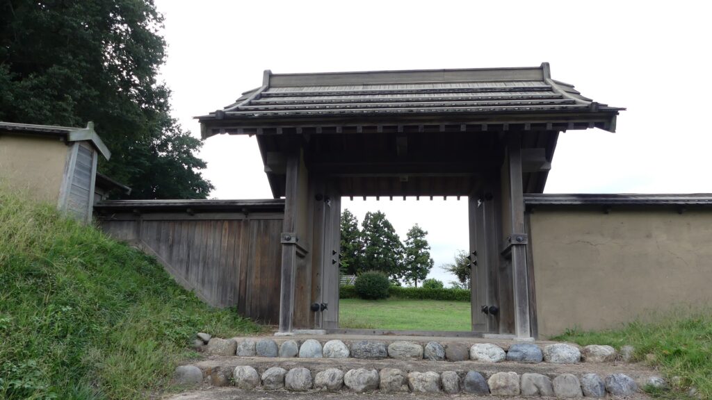
The Third Enclosure is the highest point of the castle. Tall, thick earthen walls, supported by stone mounds inside, (looking like stone walls), surround the enclosure. These structures were restored in the present time based on excavation records. A four-legged gate was also restored based on the research. Other evidence of buildings like halls has not been found so far, but the enclosure must have been important for the castle.

The Third Enclosure
The earthen walls, supported by stone mounds, surround the enclosure
The restored four-legged gate

To be continued in “Hachigata Castle Part3”
Back to “Hachigata Castle Part1”