Features
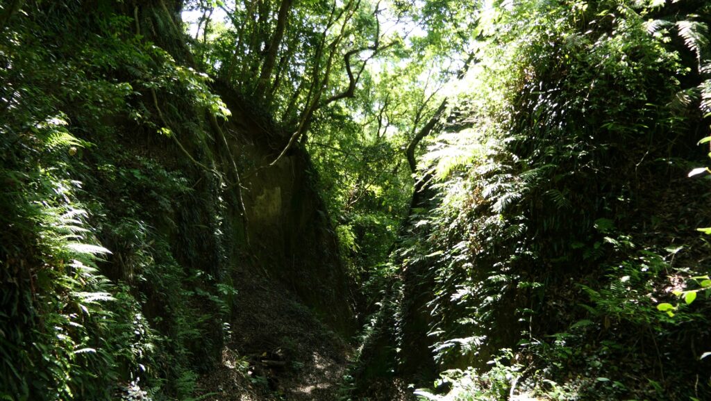
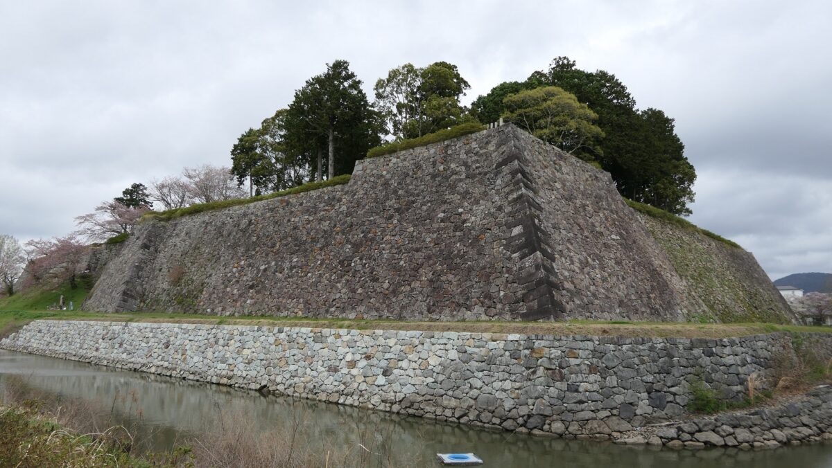
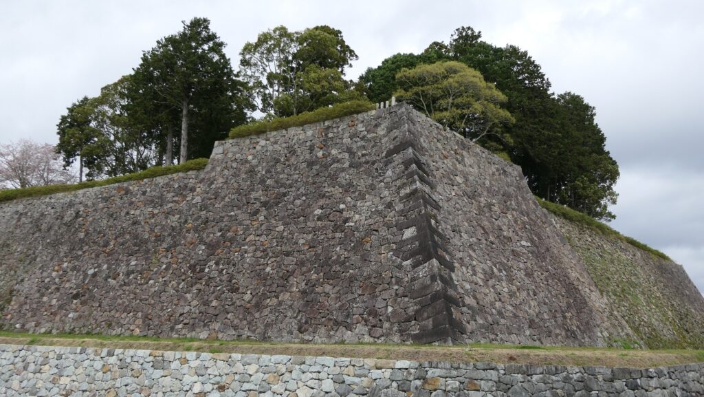
Looking up to Stone Walls from Third Enclosure
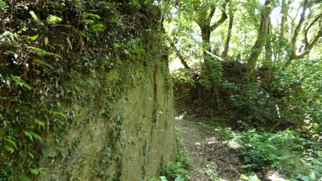
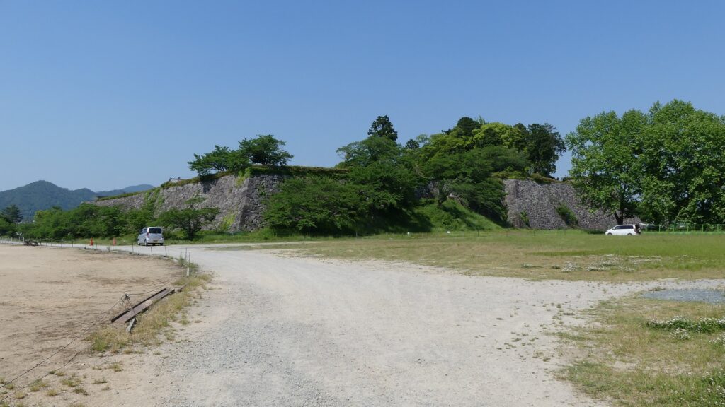
The flat square Third Enclosure is outside of the Inner Moat and inside of the Outer Moat. If you walk around it, you will see the great stone walls of the main portion. In particular, the stone wall base for the Main Tower looks so nice, which is about 18m high, built using natural and rough processed stones, instructed by Ano-shu Group, a special stone guild at that time.
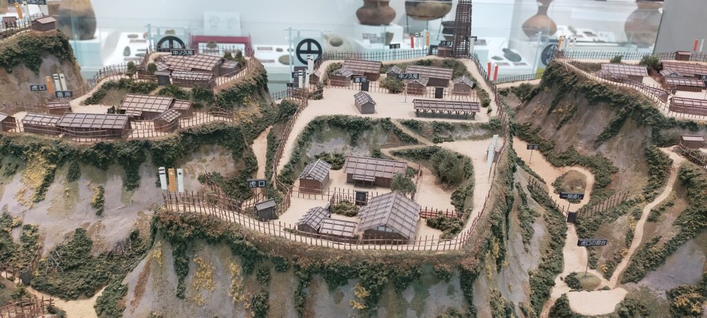
The map around the castle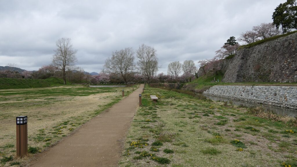

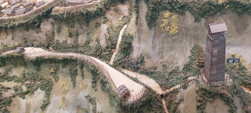
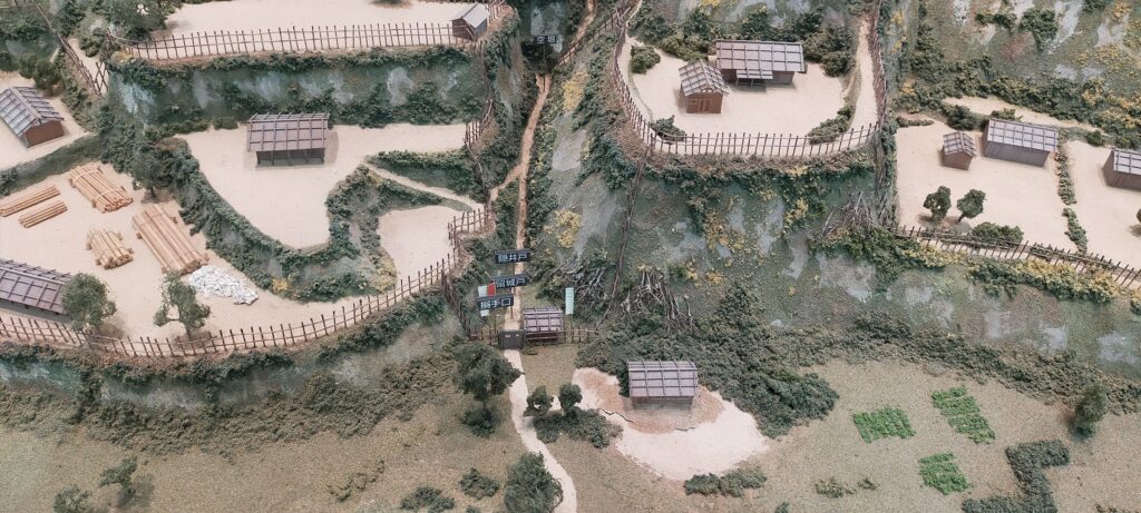
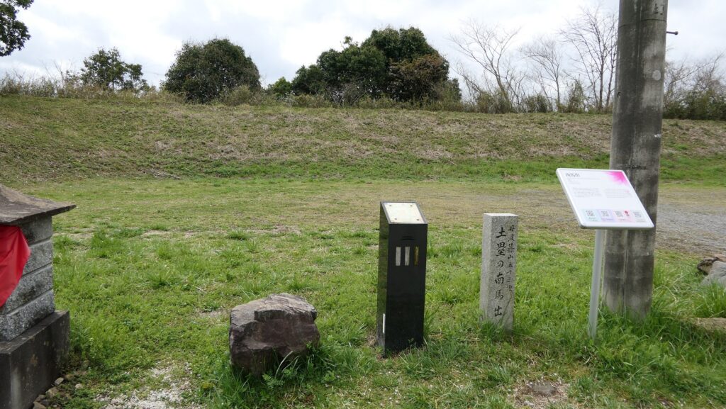
Two individual Umadashi systems
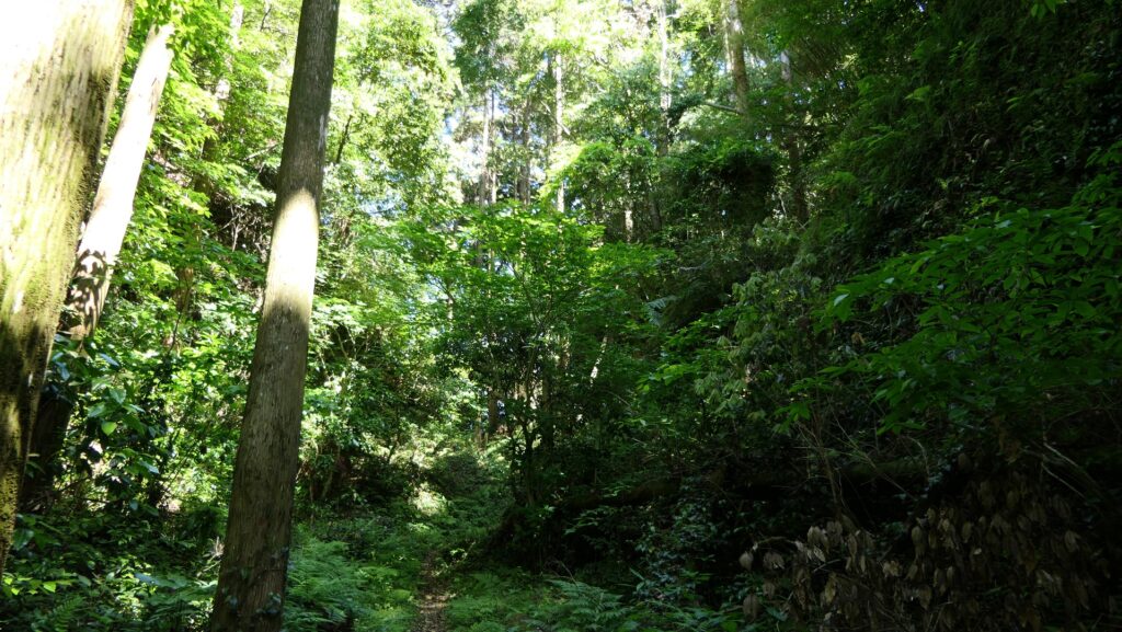
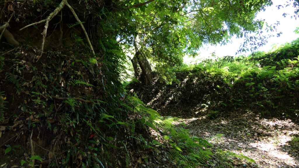
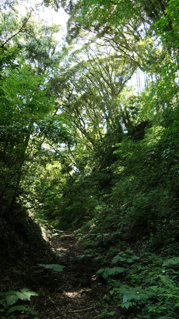
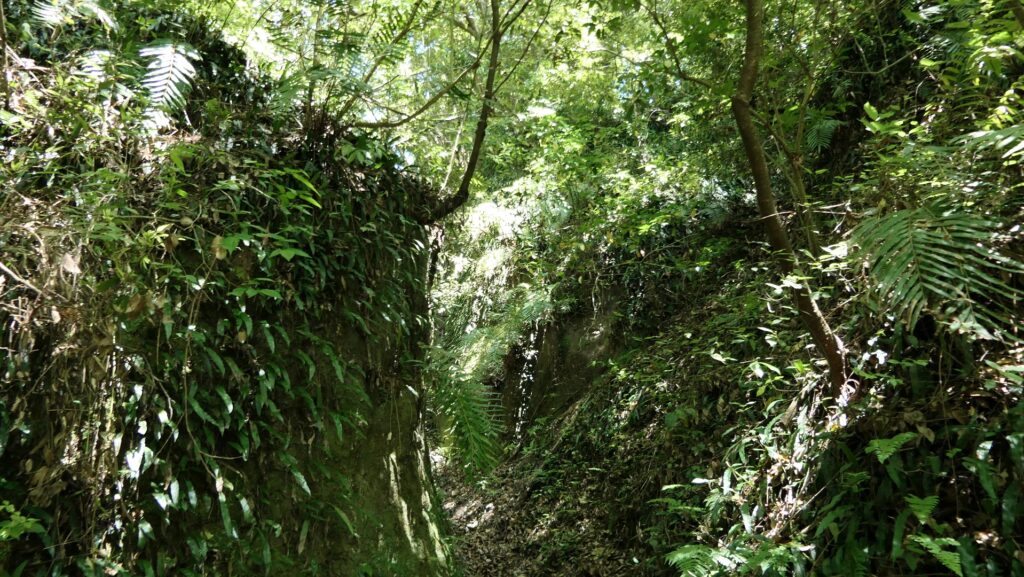
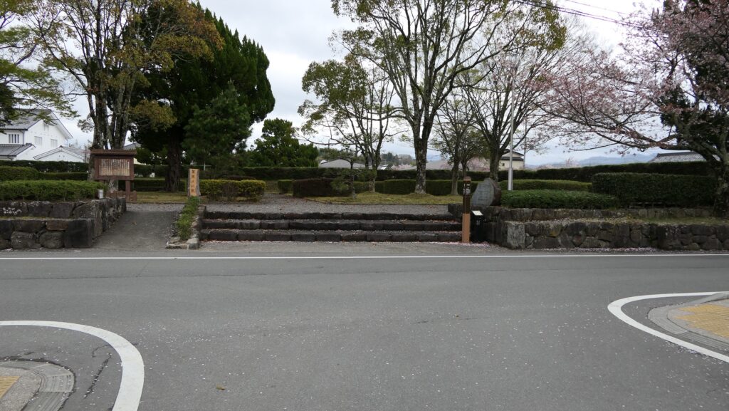
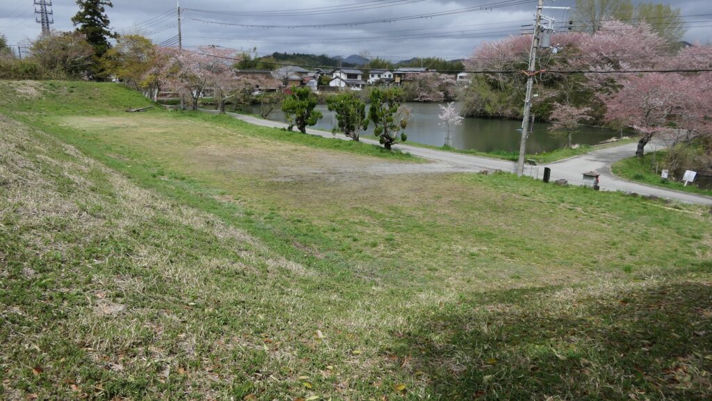
You can also visit the two other entrance ruins of the Eastern and Southern Gates through the enclosure. It is unfortunate that both ruins have lost their Masugata systems, however, their Umadashi systems are still intact. The system for the Eastern Gate remains as a square park, over the narrow straight path among the Inner Moat. It is surrounded by stone walls and another moat in the front and the sides, so you can easily imagine how the system worked in the past.
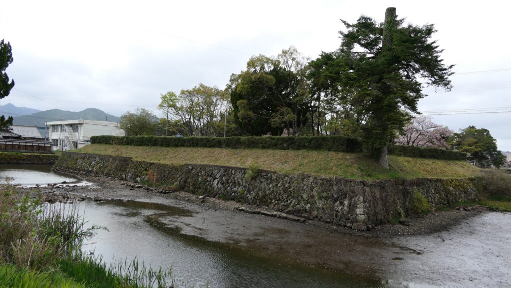
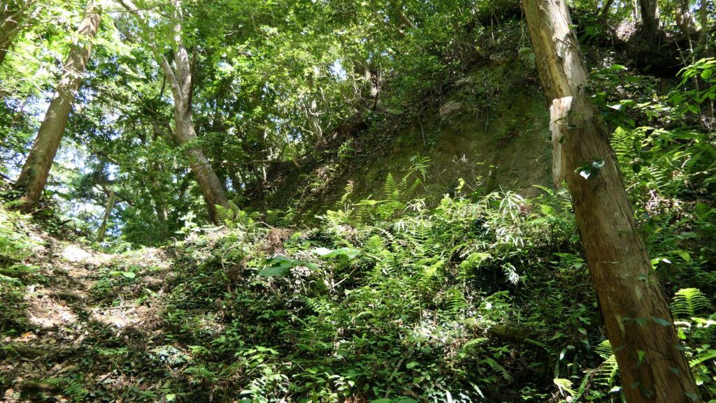
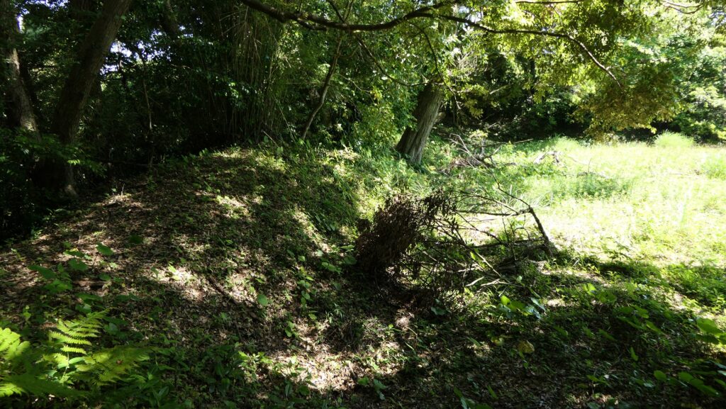
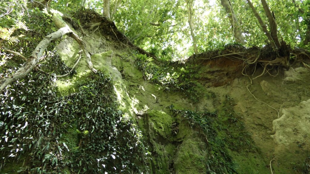
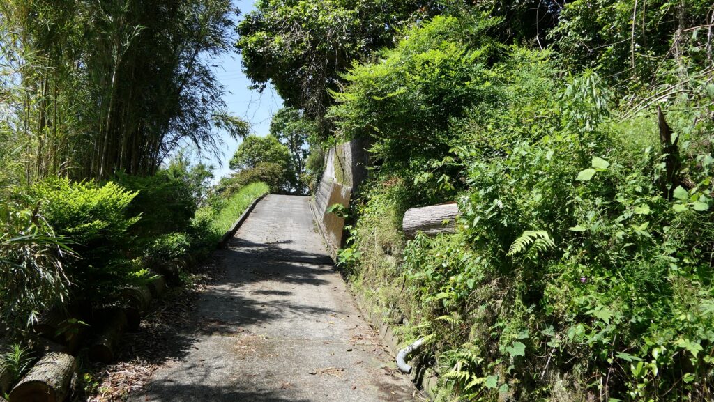
The other one for the Southern Gate also has a square space and is surrounded by earthen walls, not by stone walls. This is actually the only remaining example of the Umadashi system build only using earthen walls.
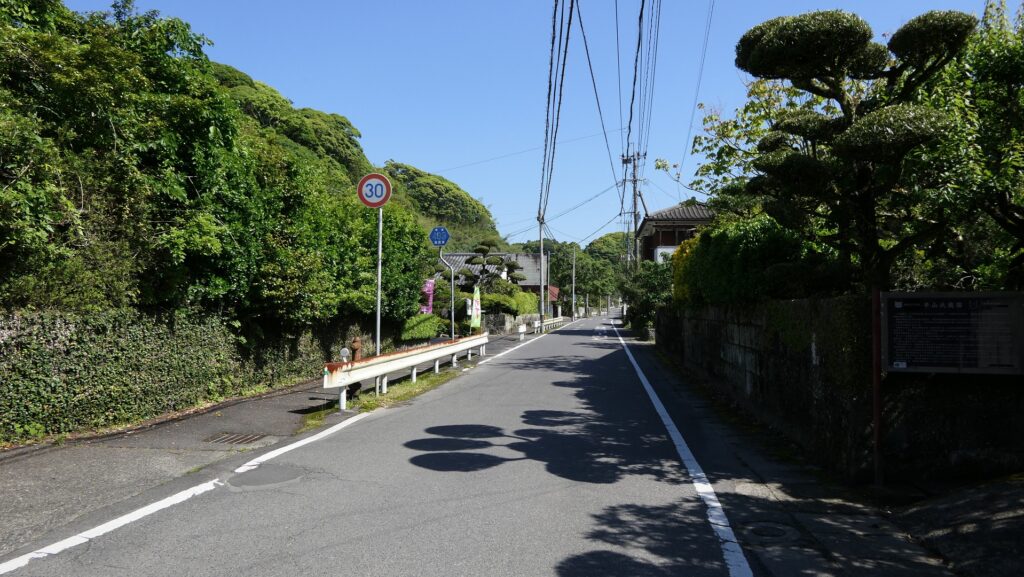
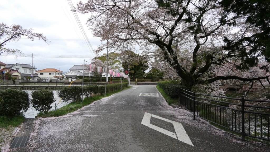
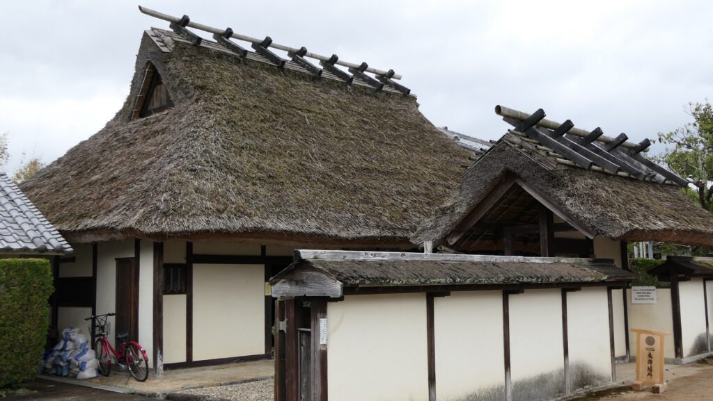
If you have time, I recommend walking along the street of Okachimachi warriors’ residences with several remaining their houses which are open to the public, in the west of the castle ruins.
My Impression
I think Sasayama Castle was quite practical for its purpose of construction. That’s why its Main Tower was actually not built. This castle was not so large as other major castles like Osaka, Nagoya and Himeji Castles, but was designed to be able to protect itself by few defenders. My first impression for the castle was that it could be a supply base. I imagine Sasayama Castle could have worked flexibly either when the Tokugawa Shogunate side would be offense or defense.
How to get There
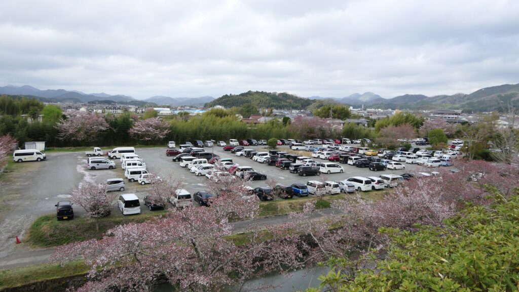
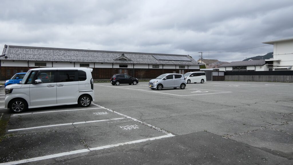
If you want to visit there by car, it is about 10 minutes from Tannan-Sasayamaguchi IC on the Maizuru-Wakasa Expressway. There are several parking lots in and around the castle ruins.
By public transportation, you can take the Sinki Green bus bound for Sasayama-eigyosho from JR Sasayamaguchi Station and get off at the Nikaimachi bus stop. It takes about 5 minutes on foot to get there.
From Tokyo to Sasayamaguchi Station: Take the Tokaido Shinkansen super express, transfer to the Kyoto Line at Shin-Osaka Station and transfer to the Takarazuka Line at Osaka Station.
That’s all. Thank you.
Back to “Sasayama Castle Part1”
Back to “Sasayama Castle Part2”