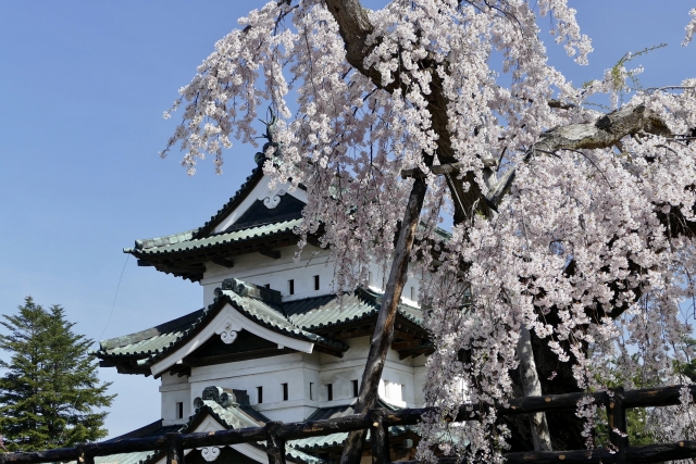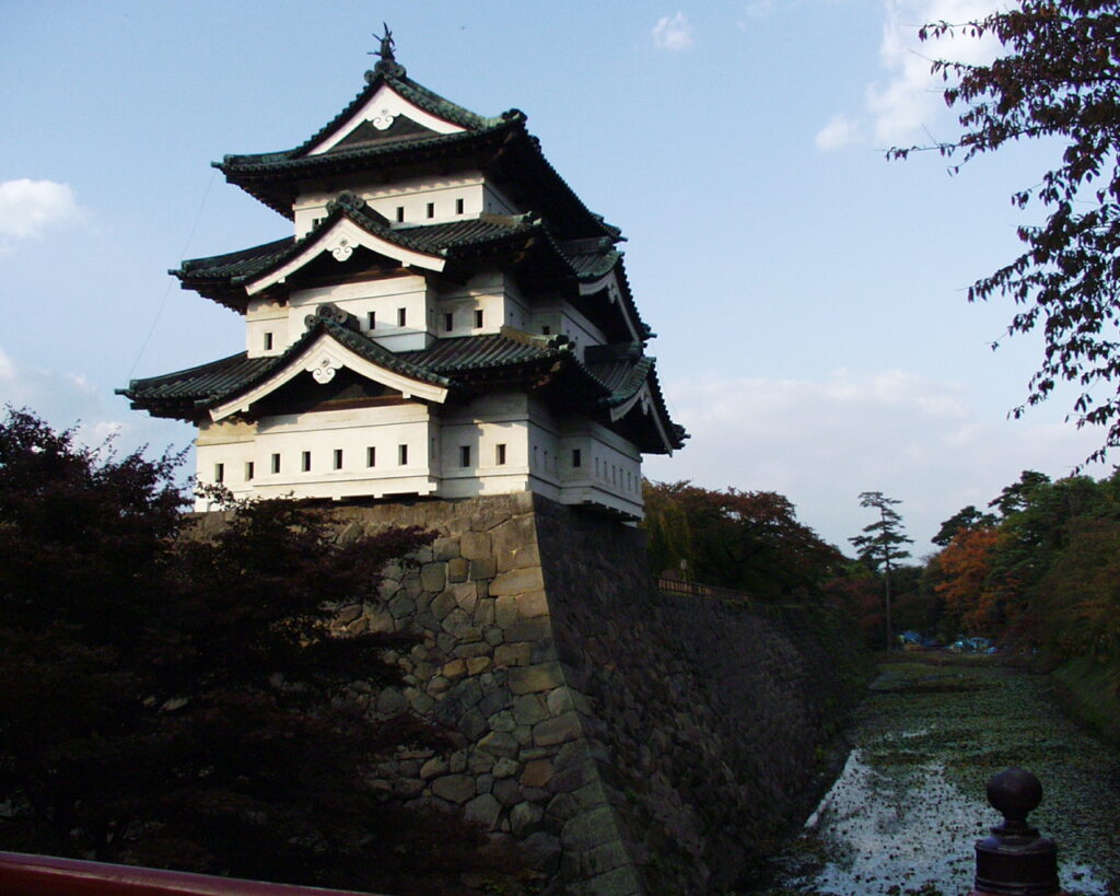
Features
Remaining Group of Enclosures
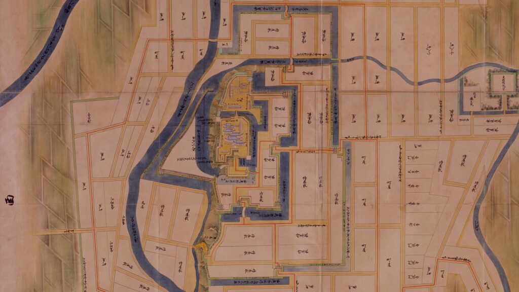
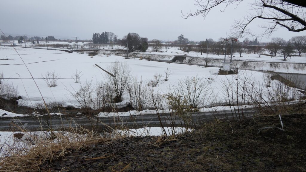
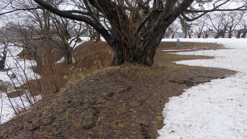
Now, the ruins of Namioka Castle has been developed as a historical park. Although you can’t see any buildings, the eight enclosure still remained. The park is very large and now sandwiched by the Prefectural Road 27 in the north and Namioka River in the south. If you stand alongside the river, you can also see that these enclosures are higher than the river. You can imagine how prosperous they were when their buildings were still there.
The aerial photo around the castle
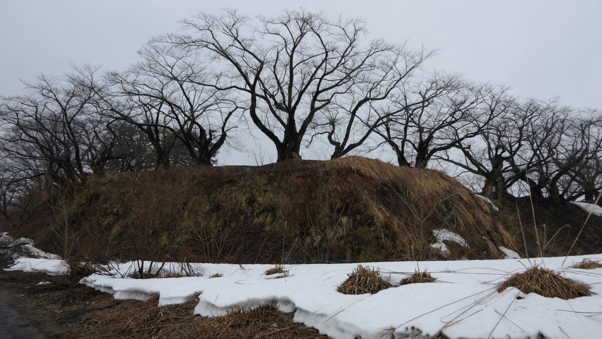
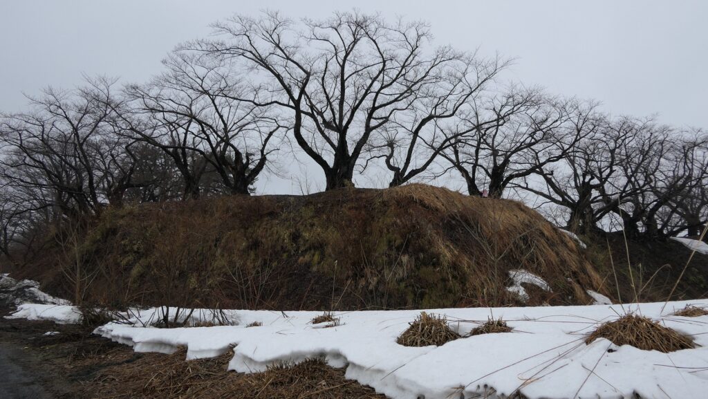
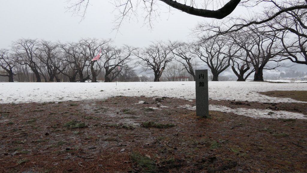
Inner Enclosure which was center of castle
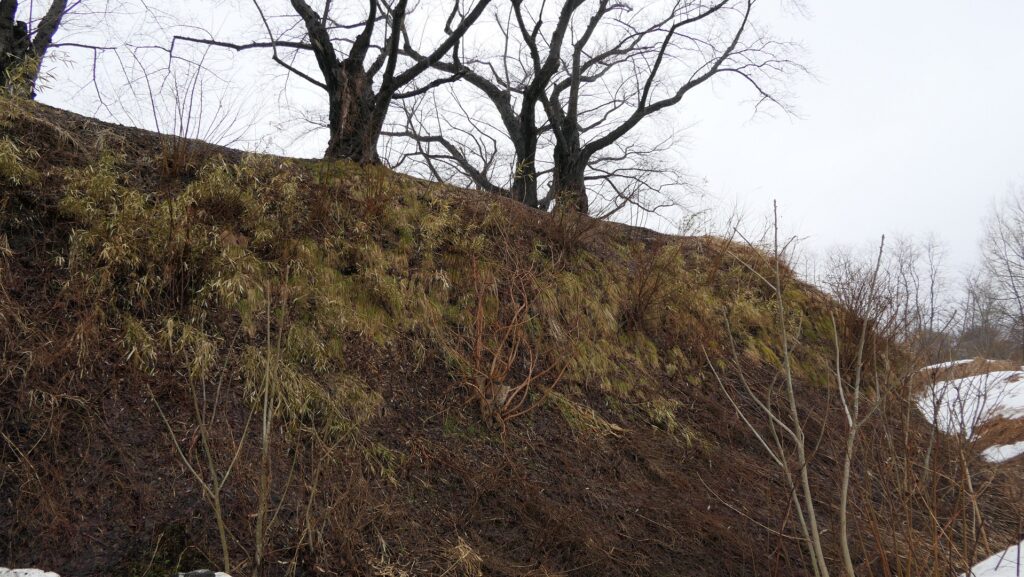
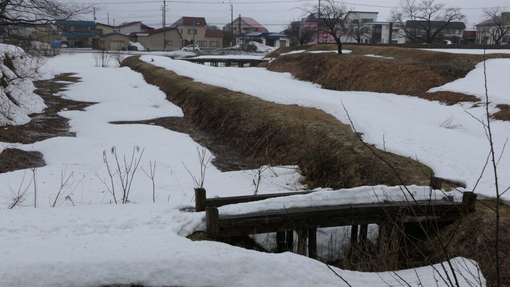
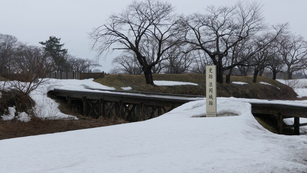
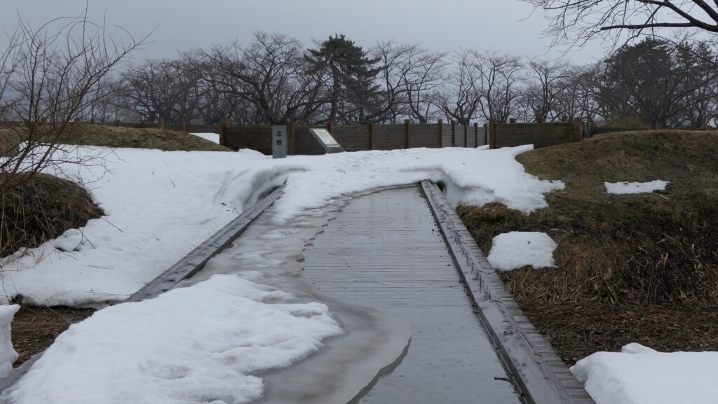
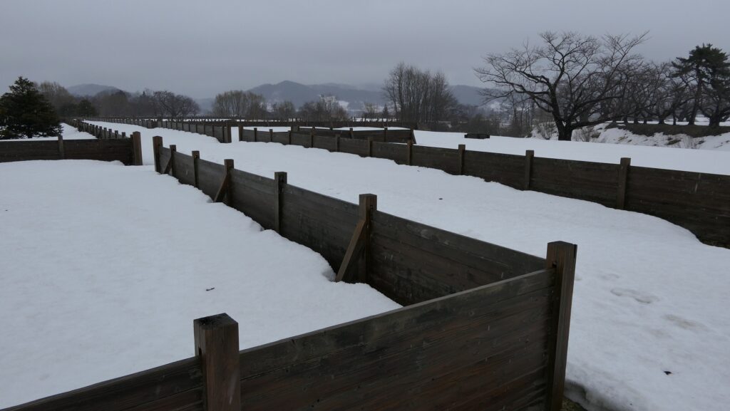
So far, two of the enclosures, the Inner Enclosure and the North Enclosure, were mainly excavated. The Inner Enclosure is at the center of the ruins and beside the river. The Inner Enclosure looks like the highest point in the castle ruins. It was found that it had the Main Hall for the lord of the castle. The inside of the enclosure is empty now, but a lot of cherry trees are planted at the outer edge. You can see the doubled dry moats partly with the restored wooden bridges. The moats were originally filled with water.

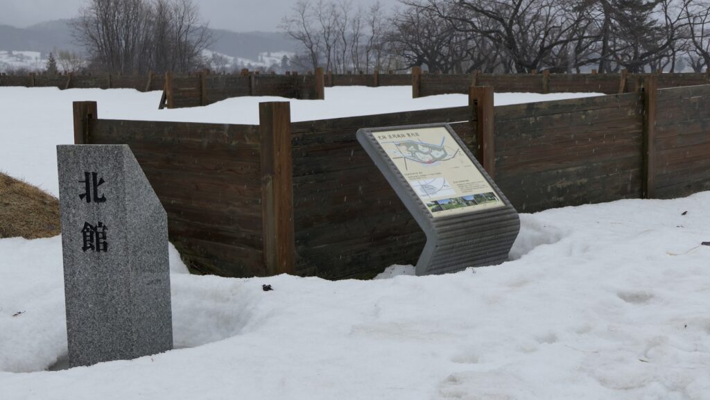
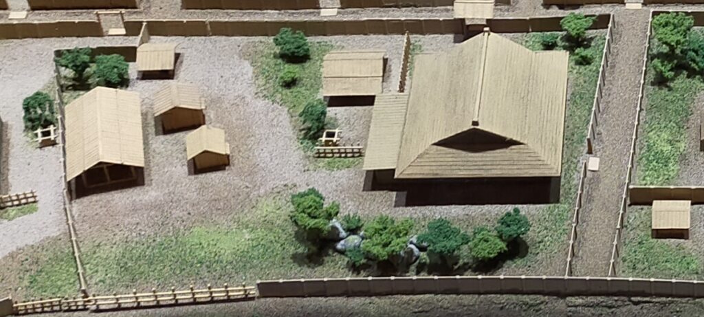
North Enclosure had residential lots for warriors
The North Enclosure is the largest enclosure and was found that it had been divided into several residential lots for the warriors. Each lot had the houses for the warriors, the workshop for the craftsmen, the well, the stable and so on. Through the excavation, they discovered that the enclosure had a defensive gate and had a zigzag road. You can now see the wooden fences that show how the residential lots were divided.
To be continued in “Namioka Castle Part3”
Back to “Namioka Castle Part1”