Features
Limited Opening Days and Routes to Top
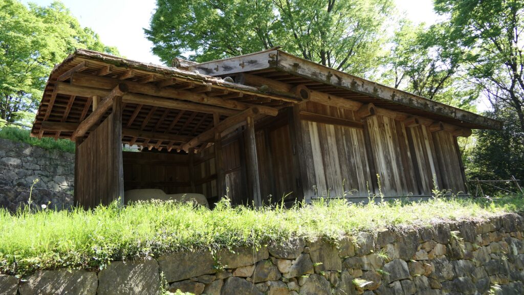
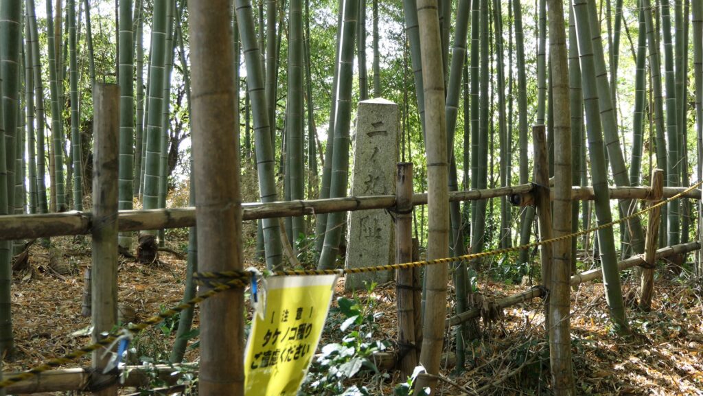
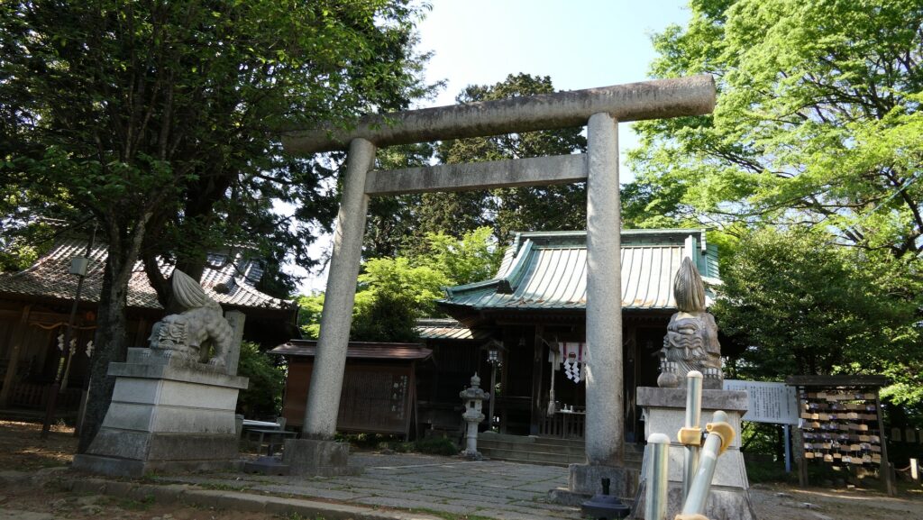
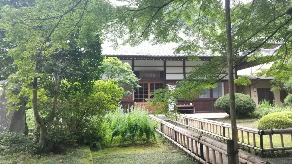
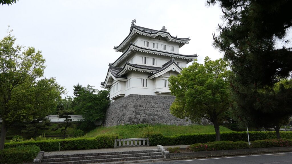
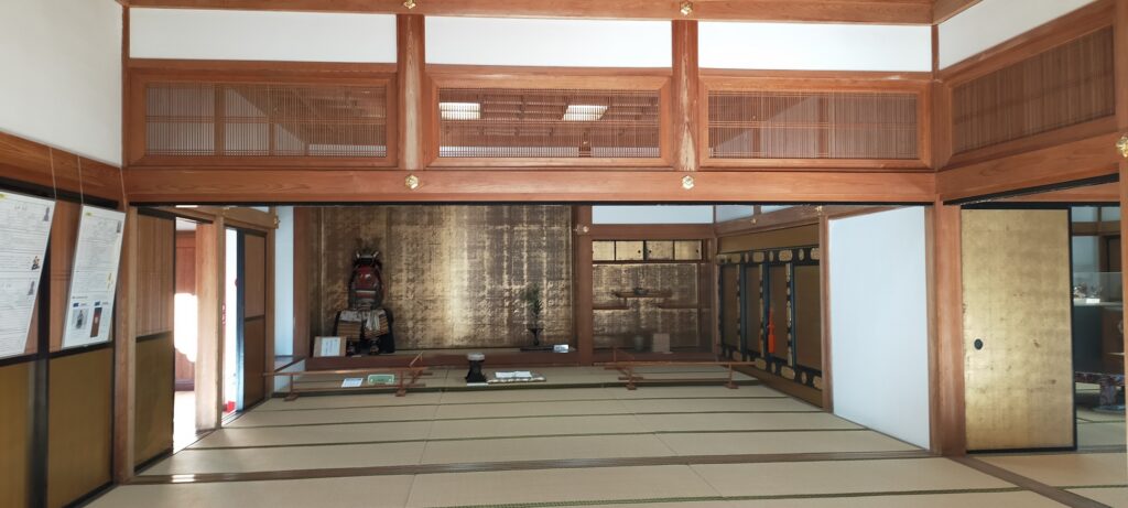
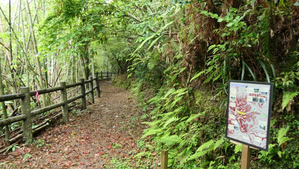
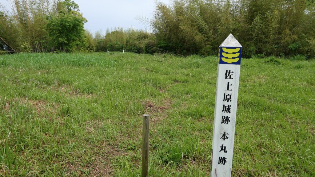
Today, the ruins of Sadowara Castle consist of two parts, the restored Main Hall in the Second Enclosure at the foot and the remaining foundations on the mountain including the Main Enclosure. The Main Hall is used as a museum called Kakushokan or the Crane and Pine Hall, where you can learn about the history of the castle and see restored or excavated items. However, as of May 2023, please make sure it is basically open only on weekends and public holidays probably for its operational purposes.
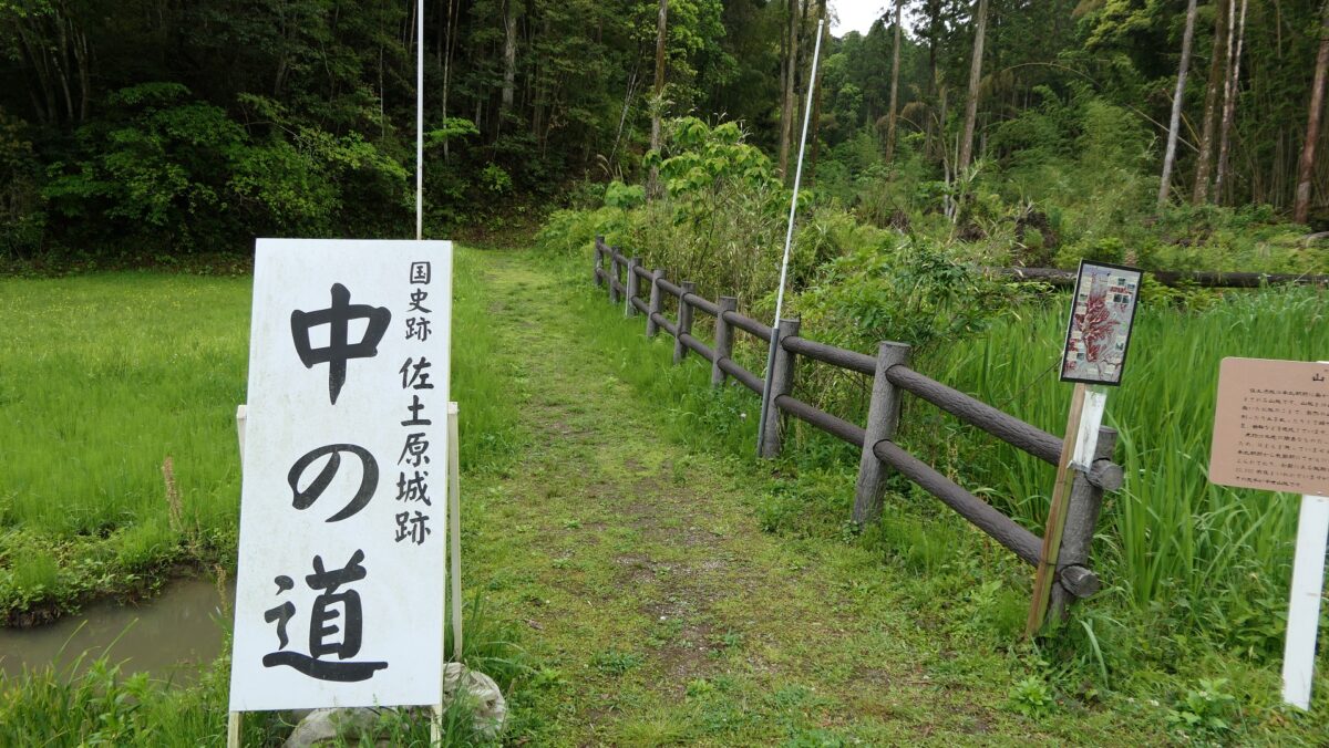
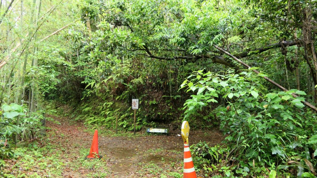
In addition, the routes to the mountain part is not always open as well because of occasional damages caused by natural disasters. For example, there are two routes to the top, however, only one route is available as of May 2023. This is because the harsh weather from Typhoon No.14 in 2022 caused landslides to the mountain that made all the routes impossible to be used. Officials have been restoring the routes and just opened one of them back in January 2023. Such a situation has often been happening to the mountain, so the officials even now struggle to maintain the mountain part. That may also have been the reason why the Sadowara Domain closed the part when they built the Main Hall at the foot.
The relief map around the castleGoing on Middle Route to Top
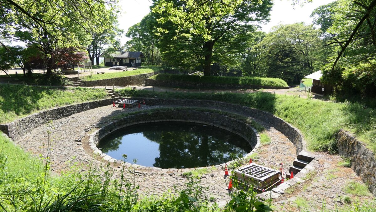
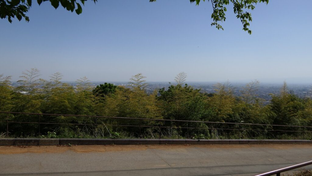
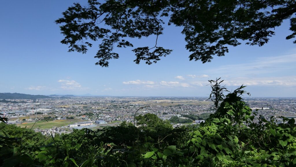
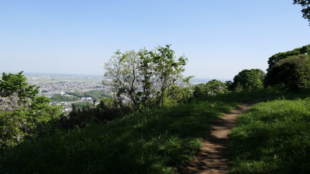
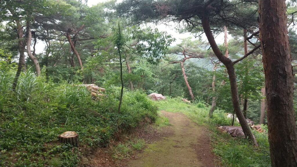
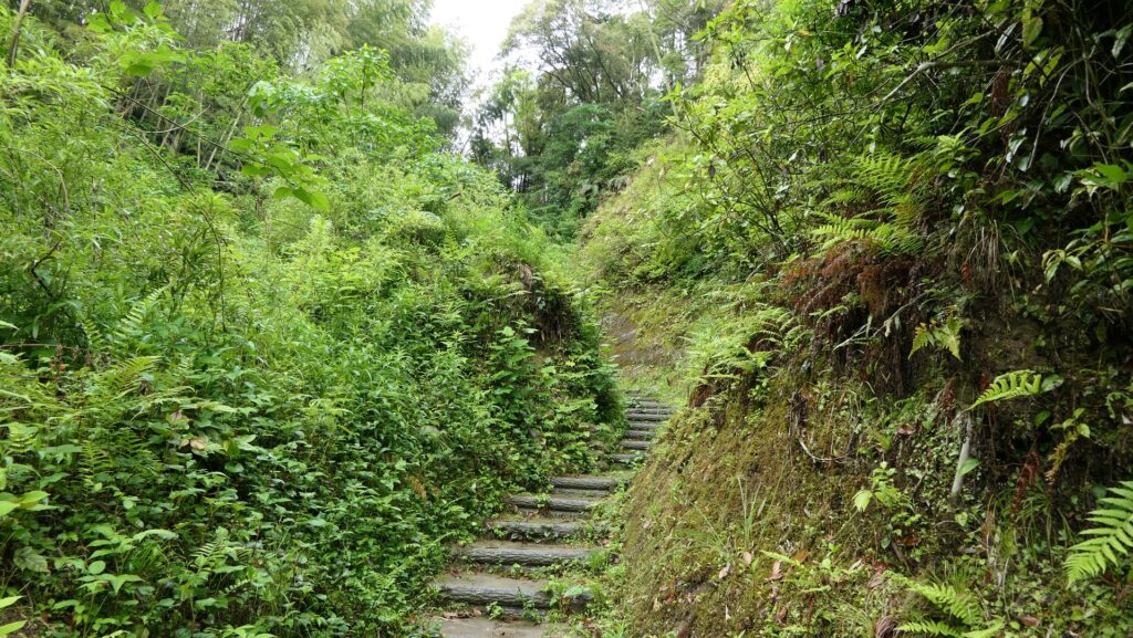
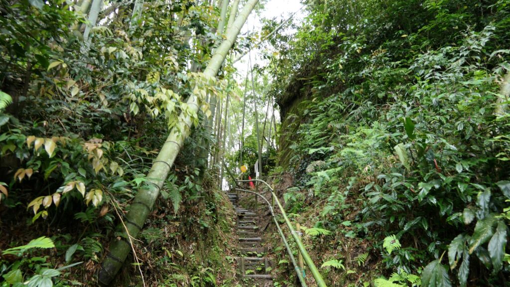
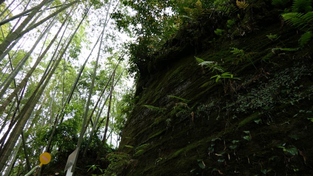
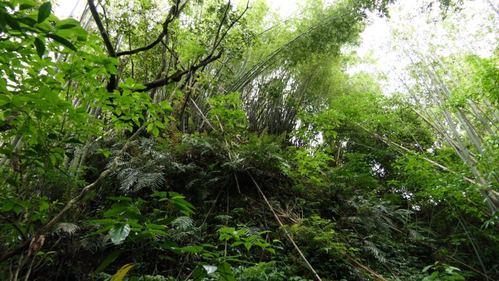
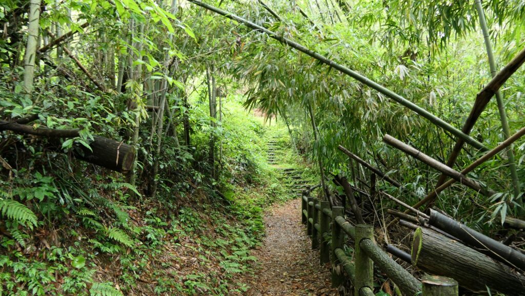
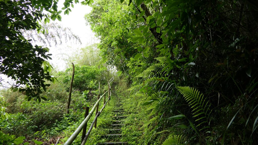
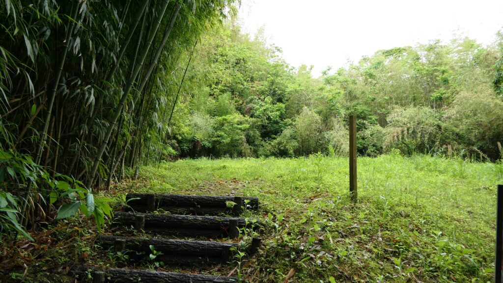
The only open route to the top is called Nakanomichi or the Middle Route, which was considered the back route. The top is only 40m above from the foot, not far from it, however, it is not easy to access, which meant it had a very defensive design in the past. The Middle Route goes on a valley between ridges of the mountain. It is very steep and is unstable on the feet, so if it rains a lot, it could be dangerous. The ridges have enclosures and their sides are cut vertically by processing the soil of the Shirasu plateau. If you were an enemy, you would have been attacked from above of both sides.
The map around the castle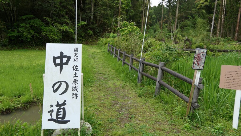
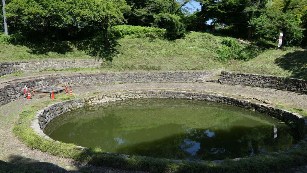
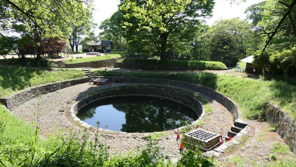
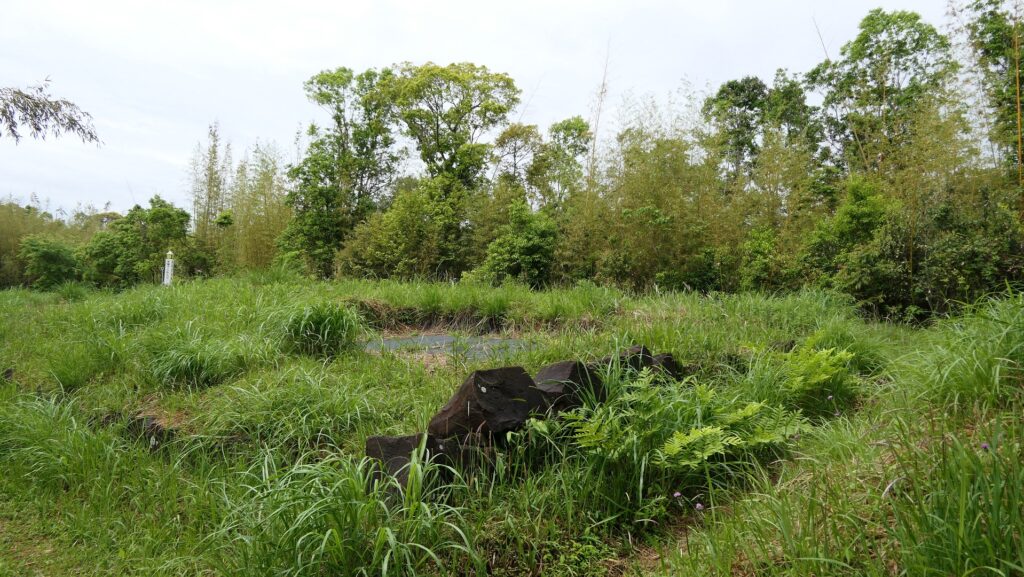
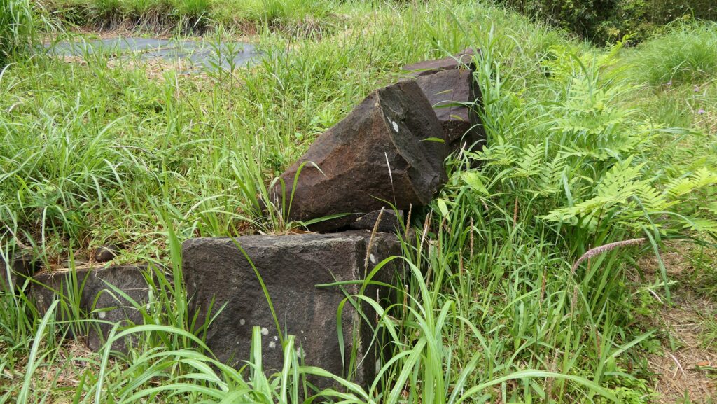
Slightly remaining Main Tower Base in Main Enclosure
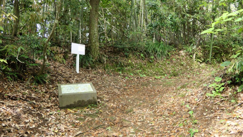
You will eventually reach a fork in the route at he top area, which surrounds the Main Enclosure. The enclosure also has steep cliffs on its side, which was probably cut vertically by the builders. If you take the route on the right, you will arrive at the back entrance of the enclosure.
While if you take the left one, you will enter the main entrance of it.
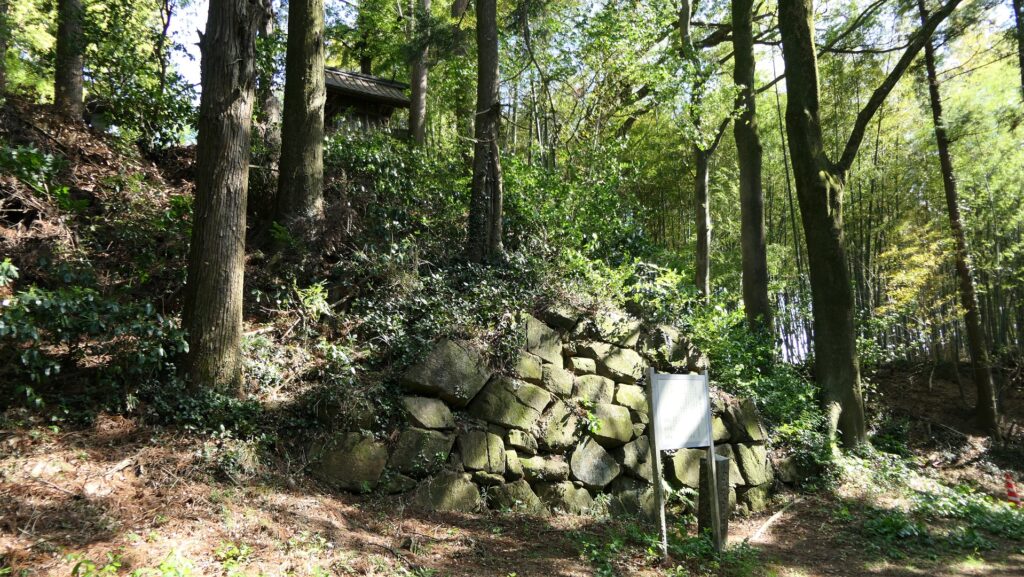
The Main Enclosure now looks like two connected squares and the ruins of the Main Tower base is in the back one. The base ruins have only the foundational stones lining up on the ground. Their upper part was probably destroyed intentionally by the lord of the castle when they closed the mountain part. That makes it difficult to find out who and when the base was first built.
To be continued in “Sadowara Castle Part3”
Back to “Sadowara Castle Part1”