Features
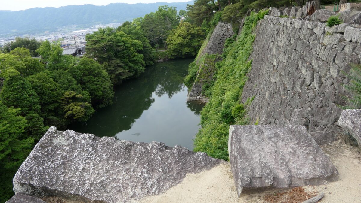
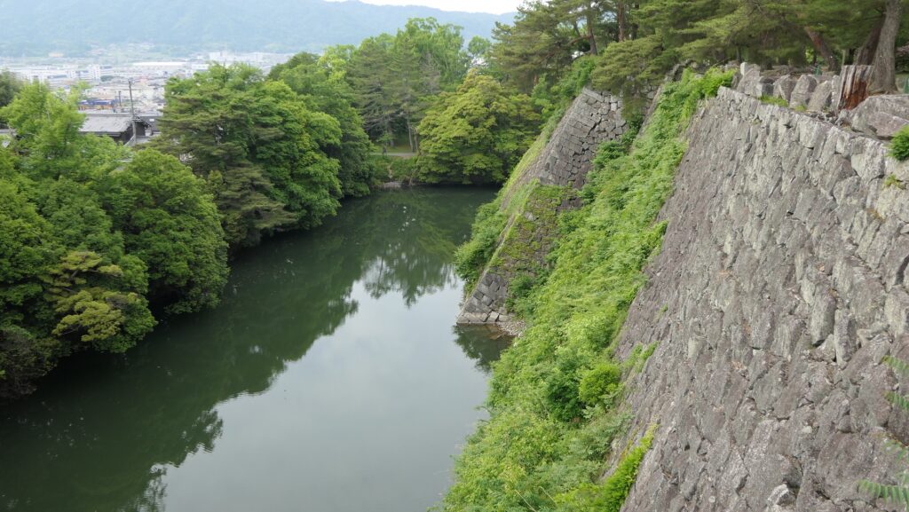
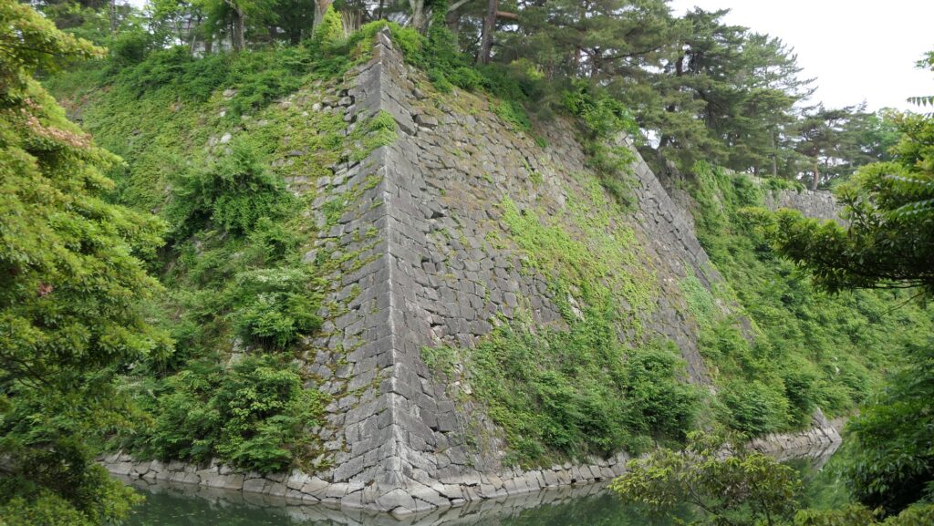
Looking up High Stone Walls
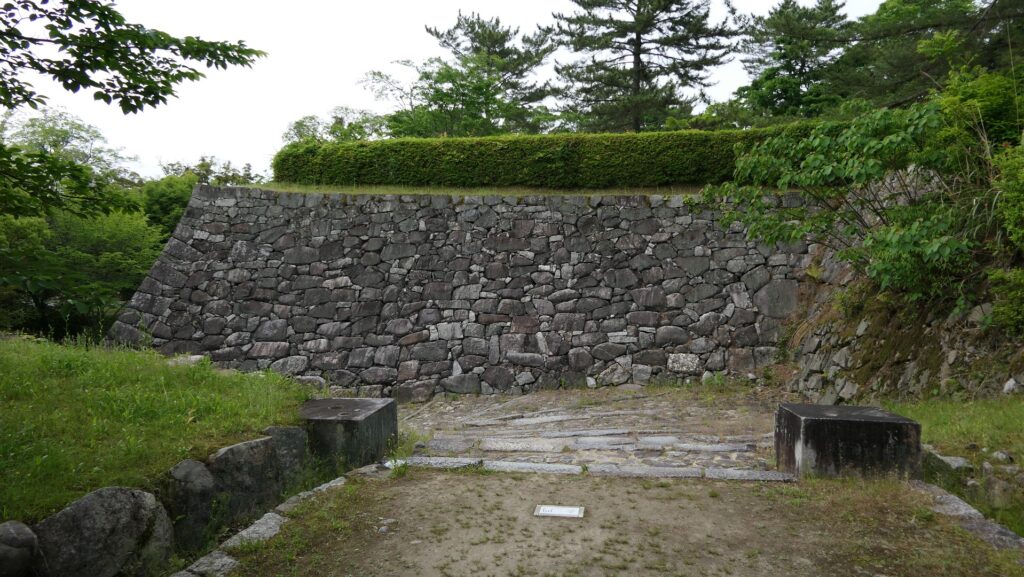
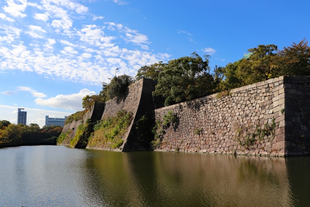
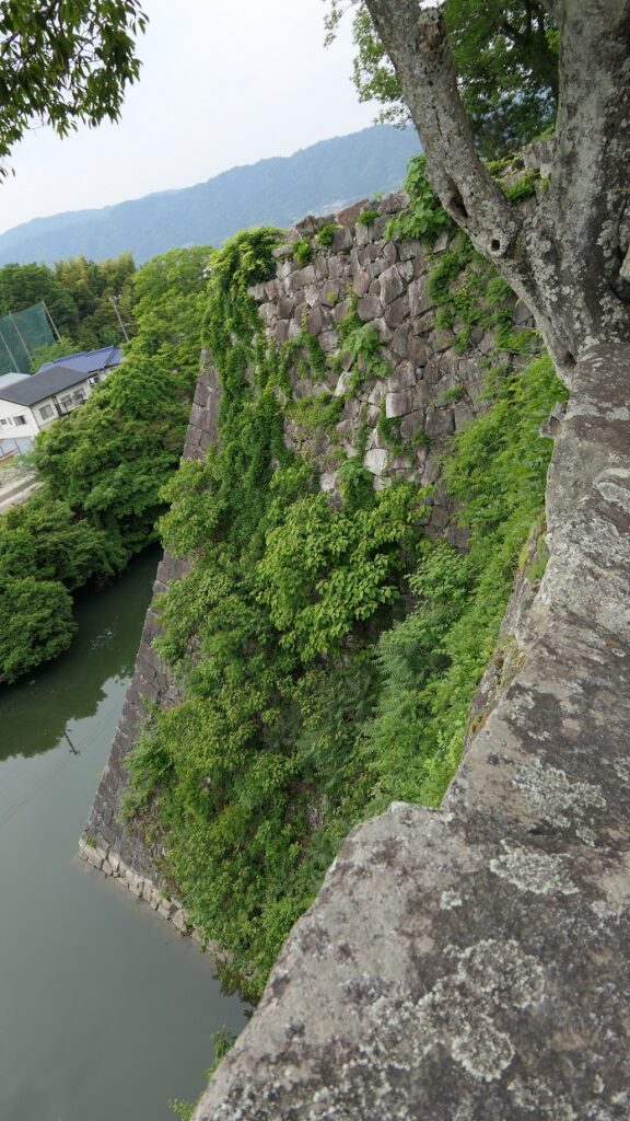
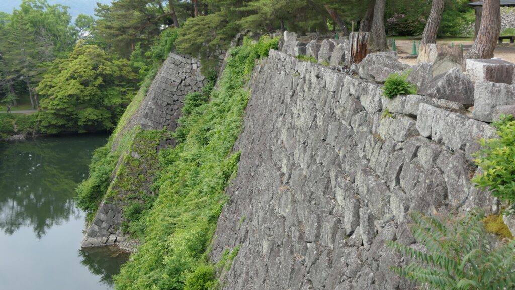
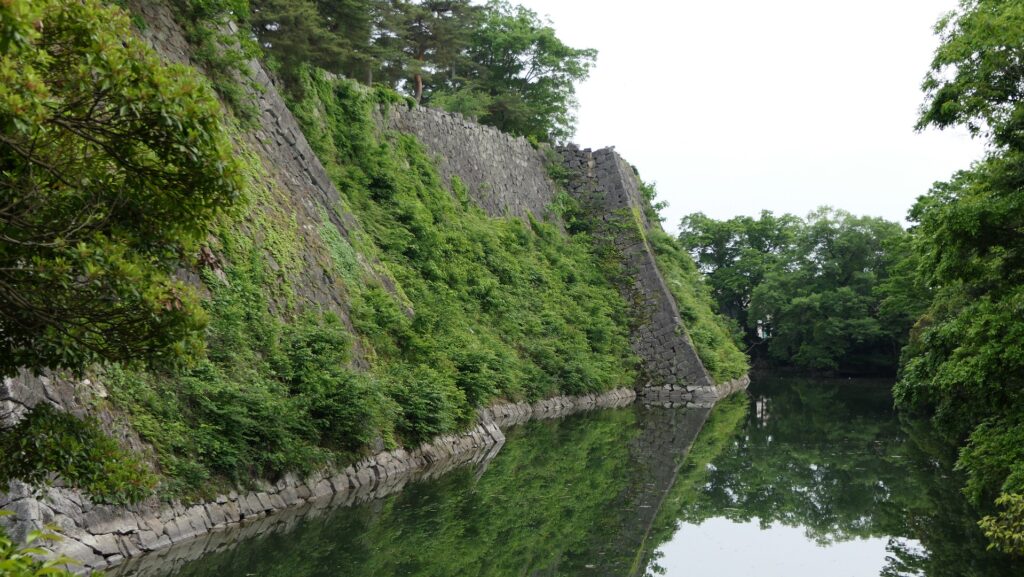
You can also look up these great stone walls by walking the street along the Western Inner Moat, outside the park. The length of the stone walls is nearly 250m.
The map around the castle
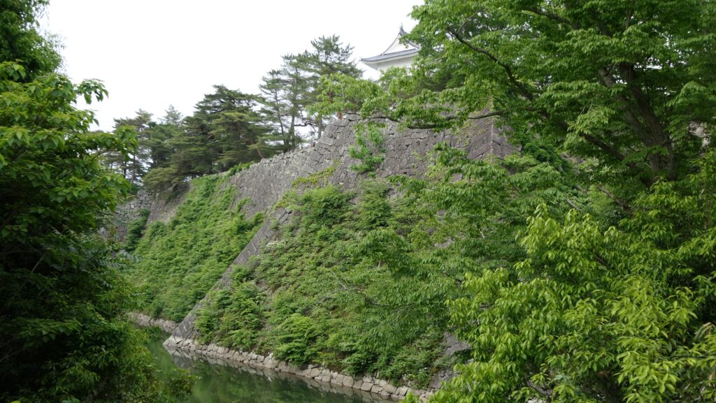
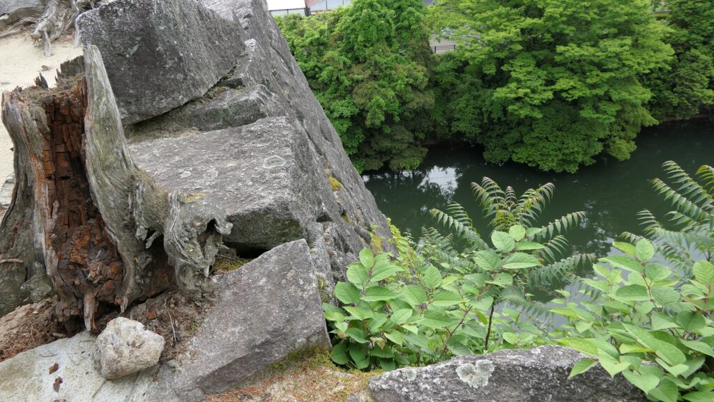
The line of them is bent elaborately in several points so that defenders could make a side counterattack against enemies if they attack the castle.
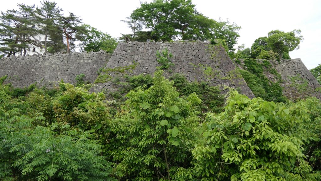
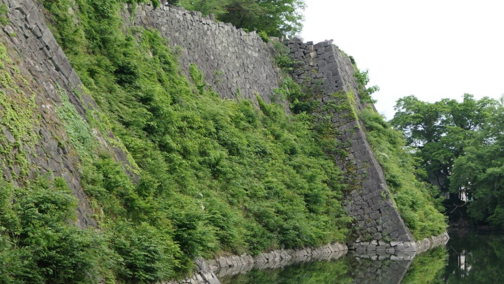
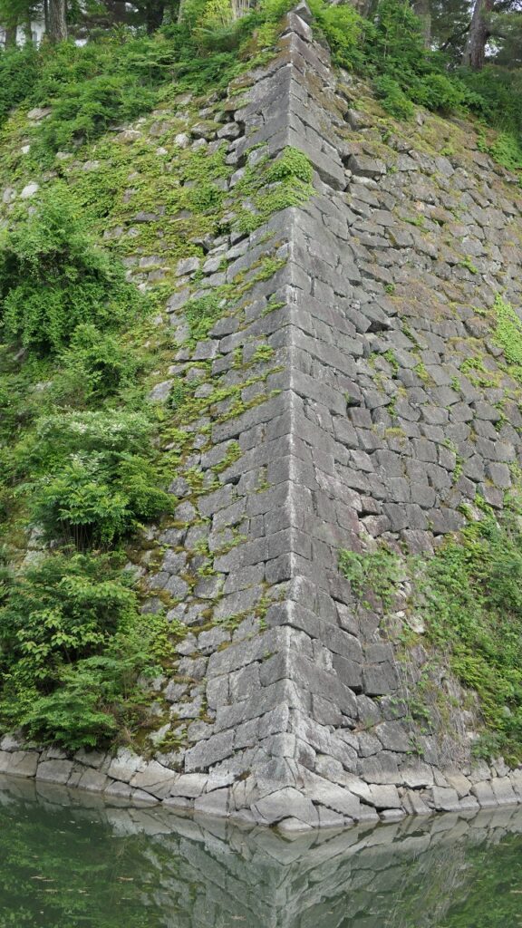
The corners of the walls are piled using processed rectangular stones alternated in a method called Sangi-zumi. Overall, these stone walls look durable and beautiful.
Later History
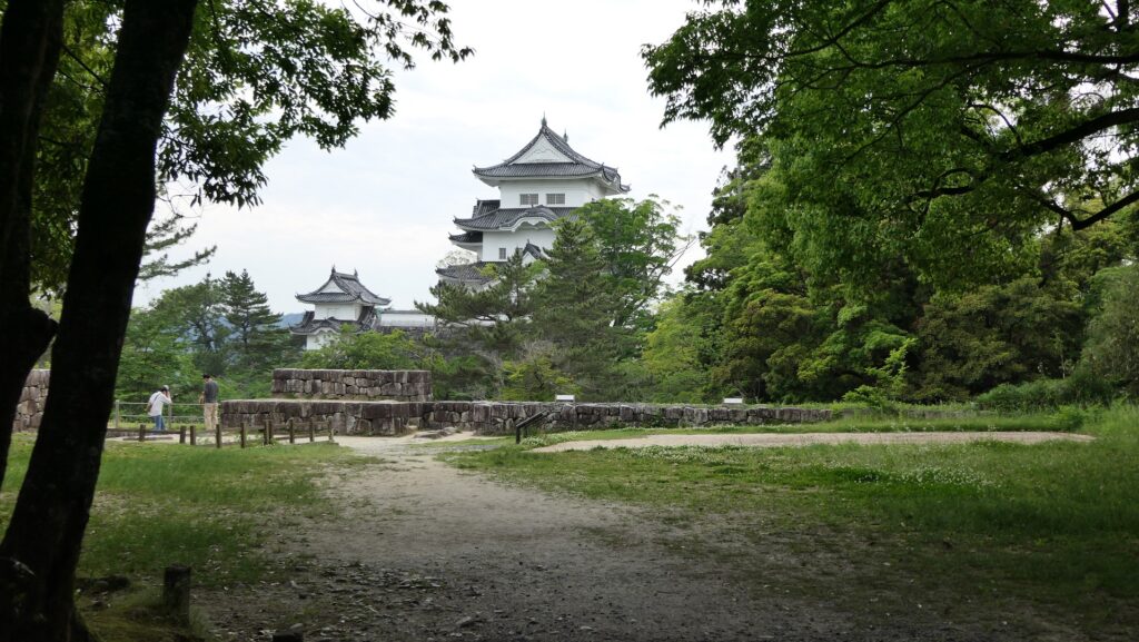
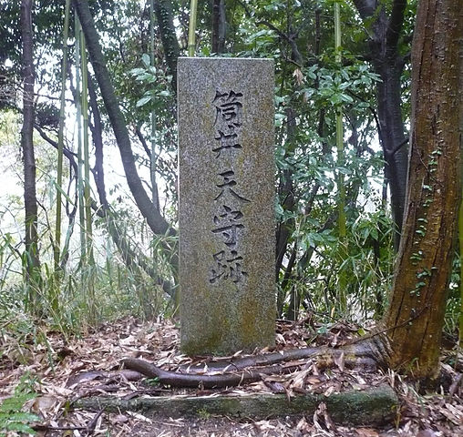
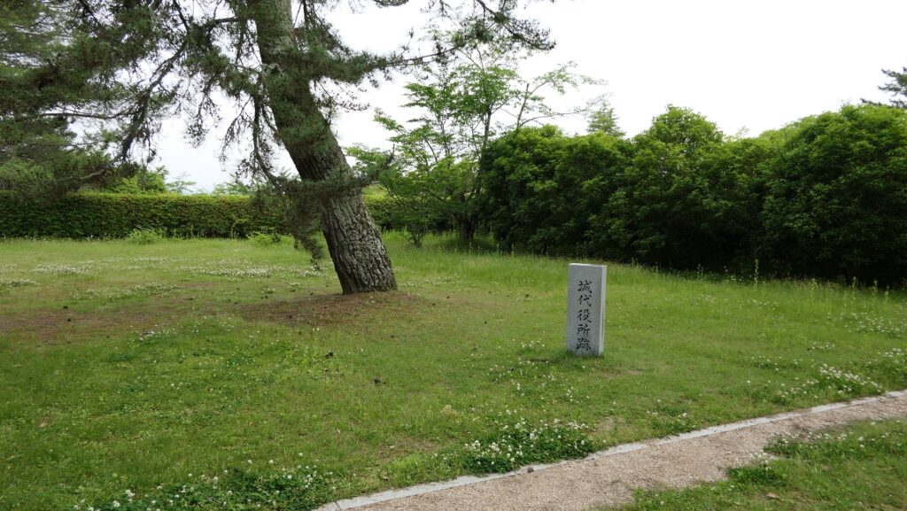
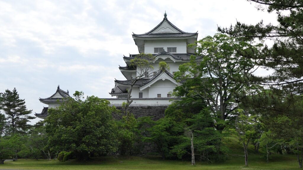
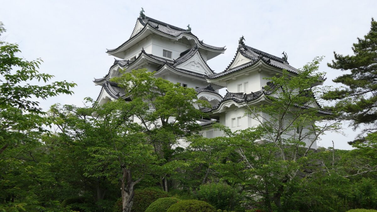
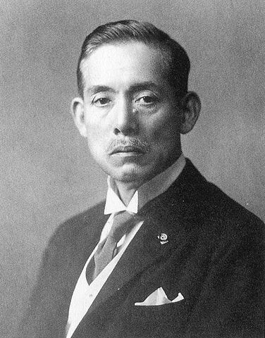
After the Meiji Restoration, Iga-Ueno Castle was abandoned and the castle buildings were demolished. The center of the castle was turned into a park. In 1935, a native politician, Katsu Kawasaki donated the third wooden Main Tower on the stone wall base for the second Main Tower which Takatora Todo tried to build. Since then, people still call this site Iga-Ueno Castle probably because the Main Tower is intact. As for the original castle ruins, they were designated as a National Historic Site in 1967.

My Impression
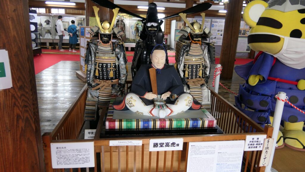
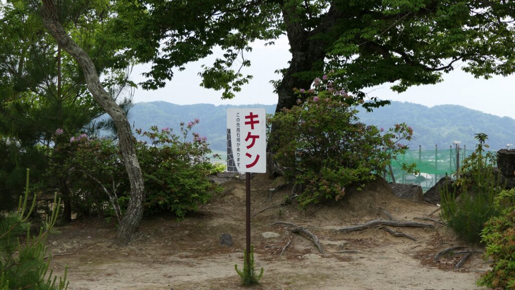
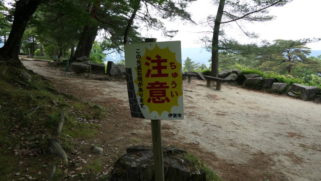
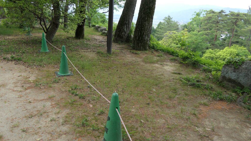
I was surprised to see many castles Takatora built or gave design advice on in western Japan, including the rebuilt Osaka Castle. He was involved in the creation of the No.1 and No.2 highest. The stone walls of Iga-Ueno Castle are still some of the highest ones in Japan and a great place to see. However, let me say again that you must be careful not to step off of the top of the high stone walls.
How to get There
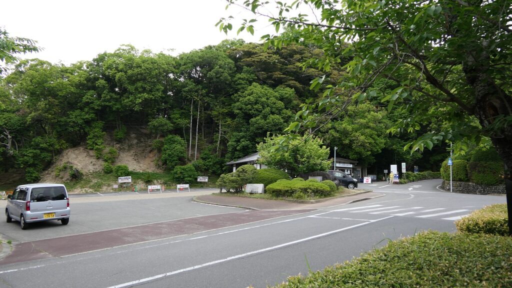
If you want to visit the castle by car, it is about a 10-minute drive away from Nakase IC or Ueno IC on the Meihan Expressway. There is a parking lot for visitors in the park.
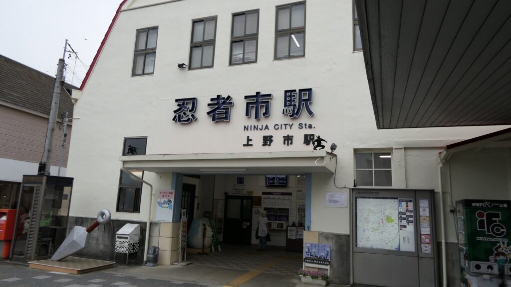
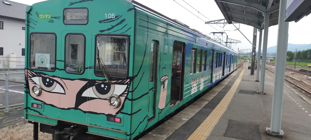
If you want to use public transportation, It takes about 10 minutes on foot from Ueno-shi Station on Iga Railway to get there. The station nicknames itself Ninja City Station and you can get the unique painted train called the Ninja Train.
To get to Ueno-shi Station from Tokyo: Take the Tokaido Shinkansen super express, transfer to the Kintetsu-Nagoya Line on Kintetsu Railway at Nagoya Station, transfer to the Kintetsu-Osaka Line at Ise-Nakagawa Station, and transfer to the Iga Line on Iga Railway at Iga-Kanbe Station.
Links and References
・Iga Ueno Castle, Iga Cultural Industry Association
That’s all. Thank you.
Back to “Iga-Ueno Castle Part1”
Back to “Iga-Ueno Castle Part2”