Features
Going to Top by Cable Car
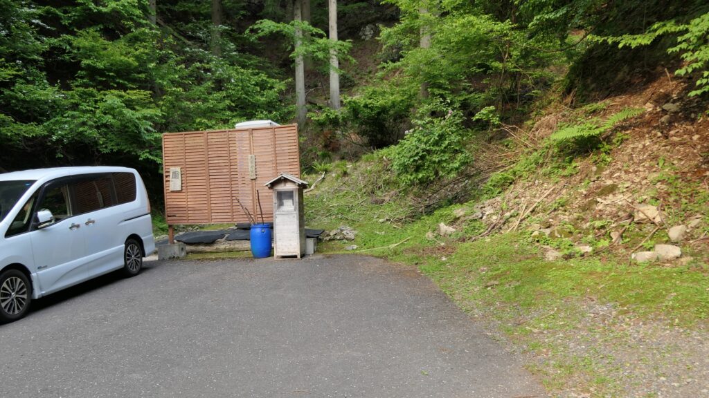
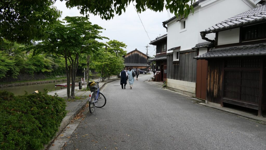
Today, visitors usually get to the ruins of Hachimanyama Castle by boarding the cable car from the foot of the mountain. The platform of the car at the foot is near the Himure Hachimangu Shrine which was moved there when the castle was built. The Hachimanbori Moats and the old town atmosphere also remain around as a popular tourist spot.
The map around the castle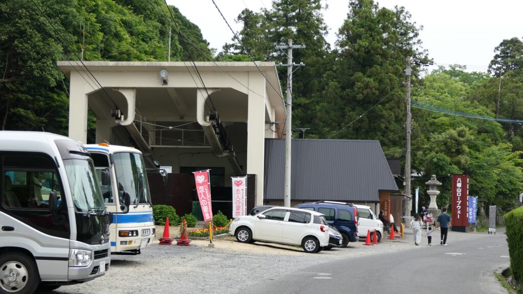
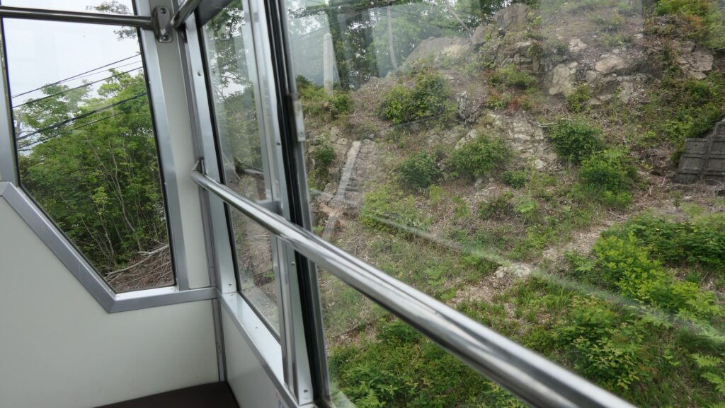
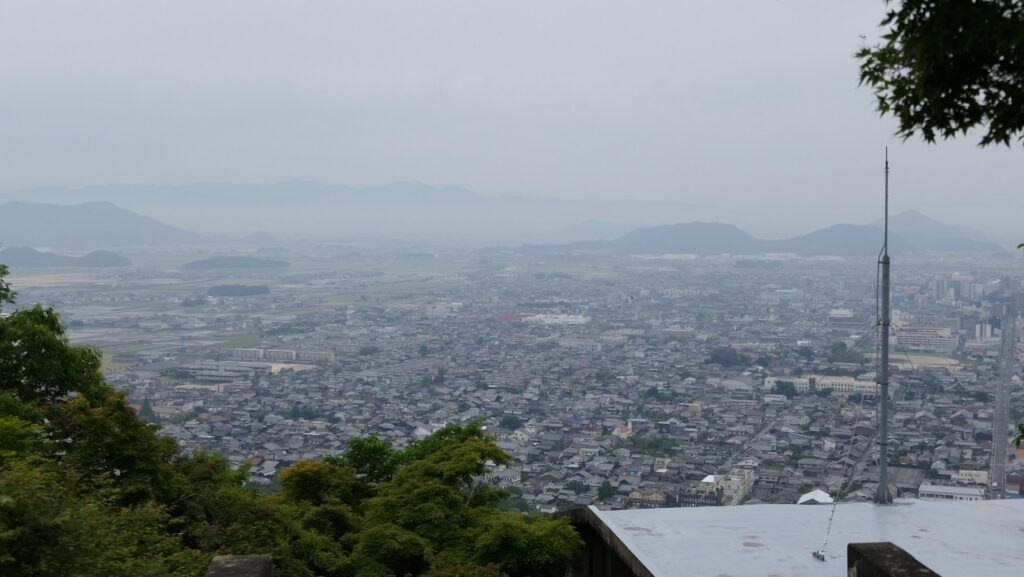
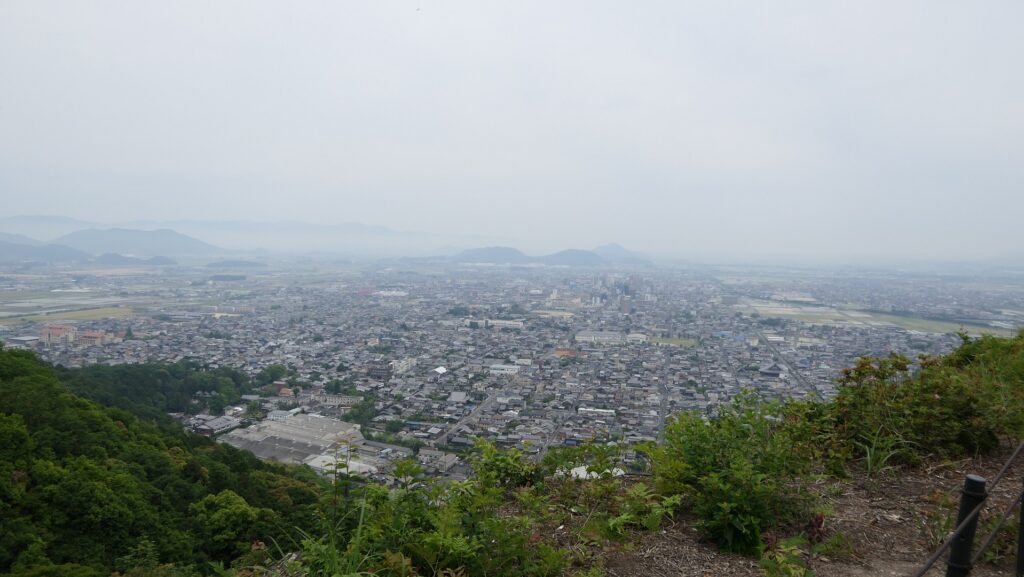
The cable car will bring you to the platform on the mountain in few minutes. The platform is below the Second Enclosure where the observation platform faces the city area in the southeast. Many people enjoy a good view while you can also see some remaining old stone walls of the enclosure.
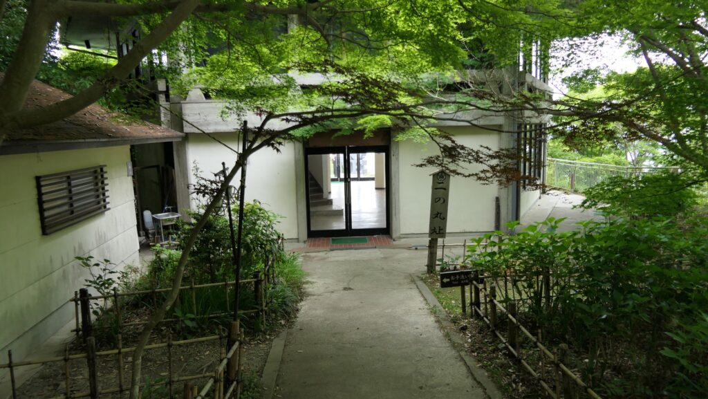
Zuiryuji Temple in Main Enclosure
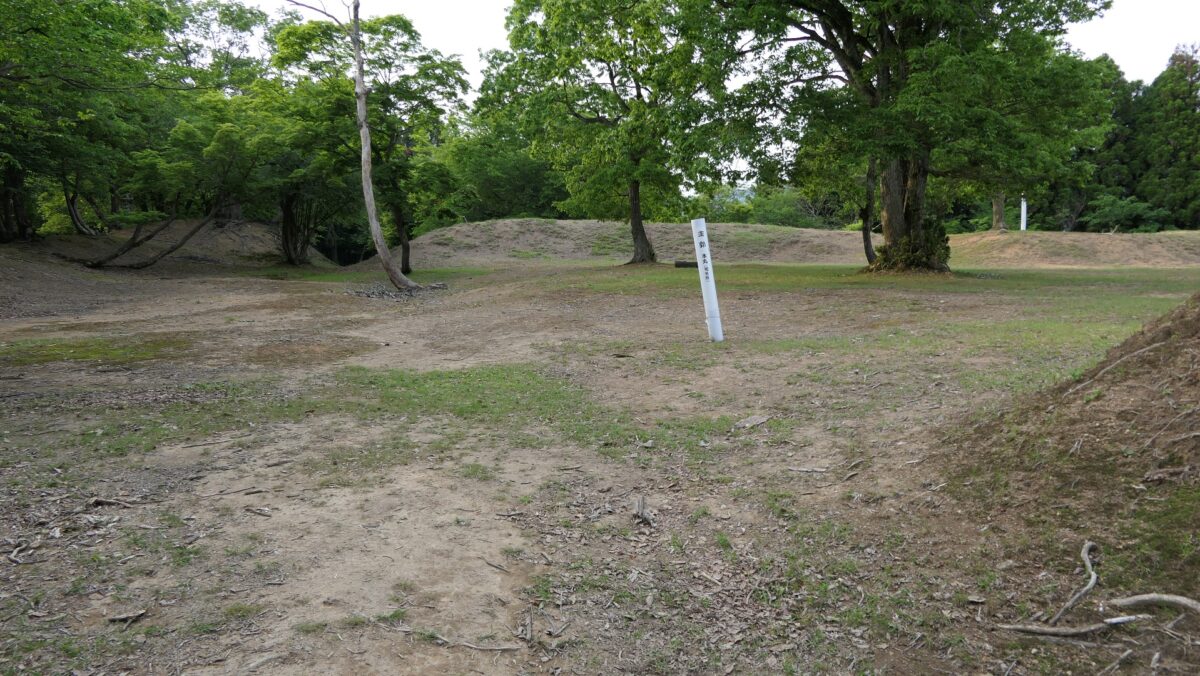
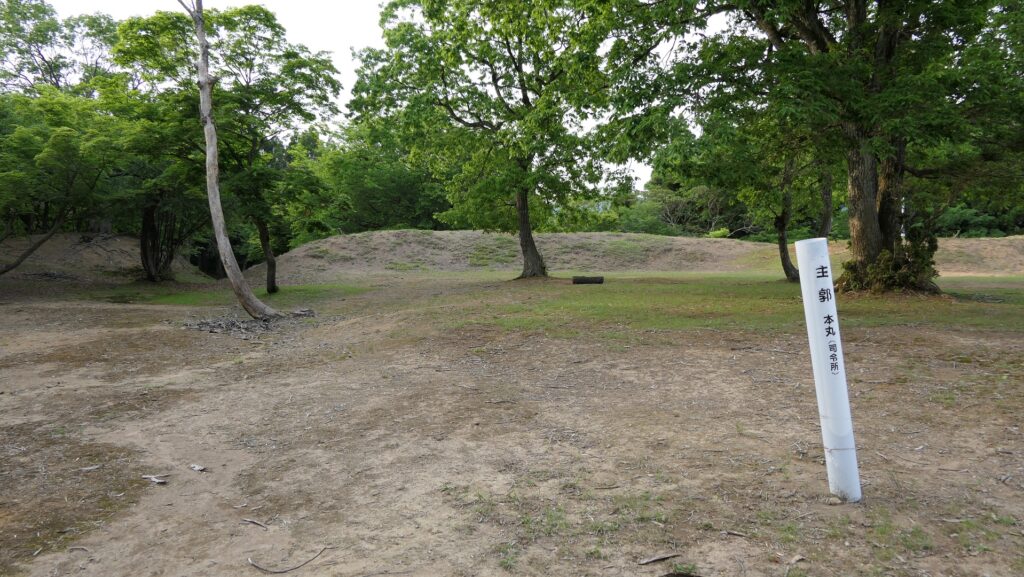
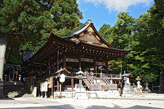
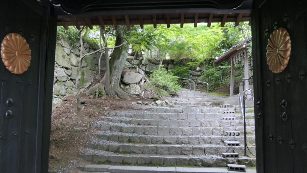
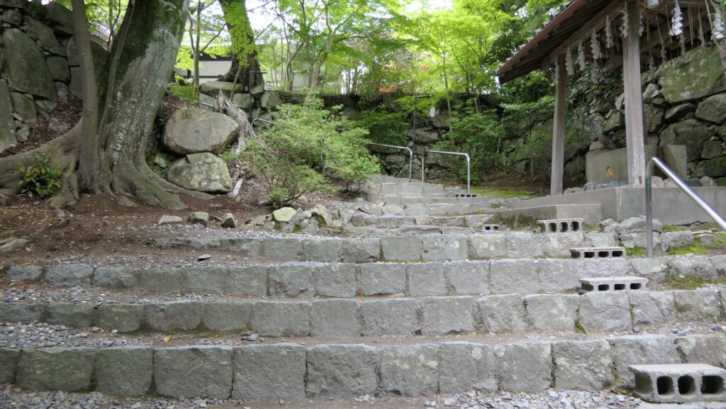
The Main Enclosure, the center of the castle, is now used as the Zuiryuji Temple which Hidetsugu’s mother, Tomo established. In fact, the temple was moved there from Kyoto in 1961 of the present time, however, it is absolute suitable for this castle. The entrance of the temple consists of a defensive square space surrounded by stone walls, called Masugata. That’s because it was also the original entrance of the enclosure. The temple uses the Imperial chrysanthemum crest because Emperor Go-Yozei helped Tomo first build it and some members of the Imperial family became its chief priest.
The aerial photo around the castle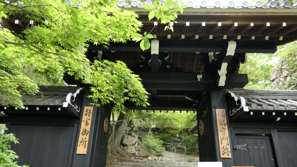
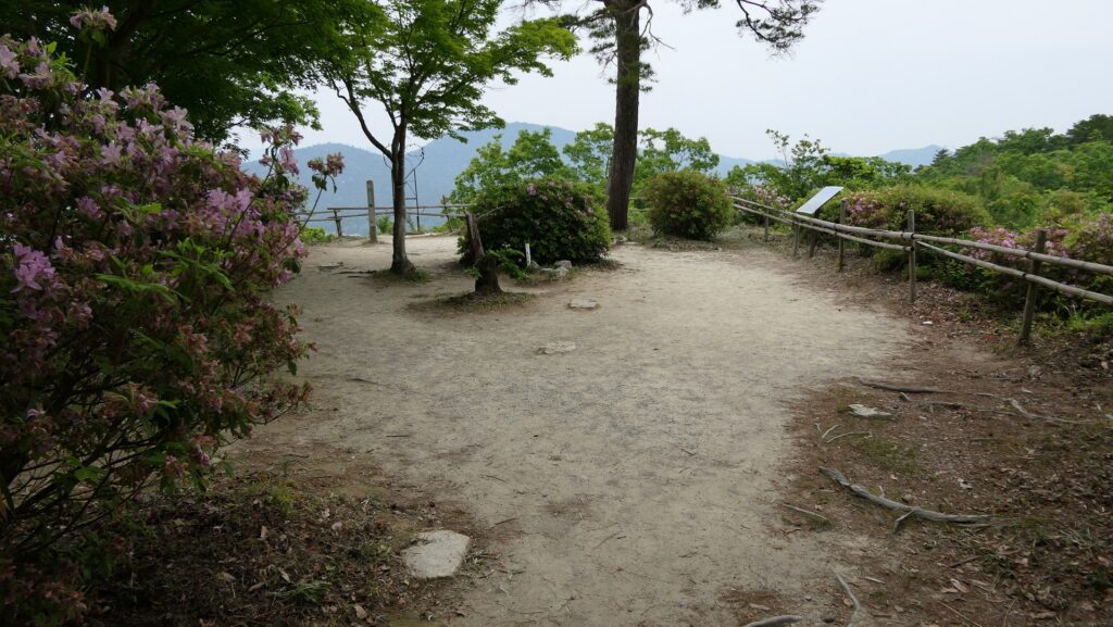
View Spots in Northern and Western Enclosures
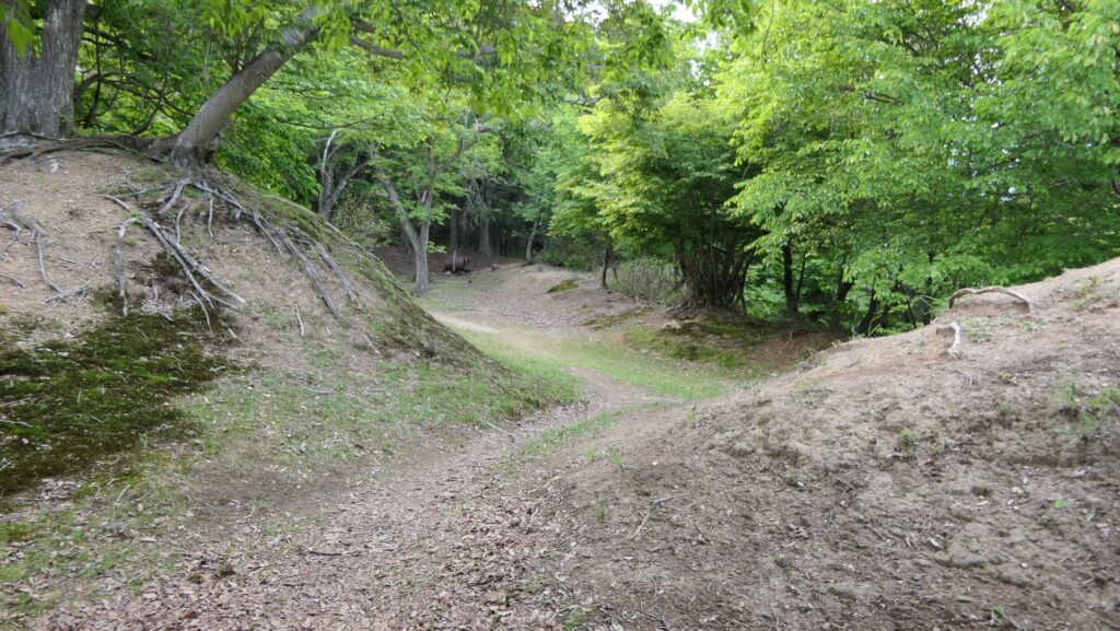
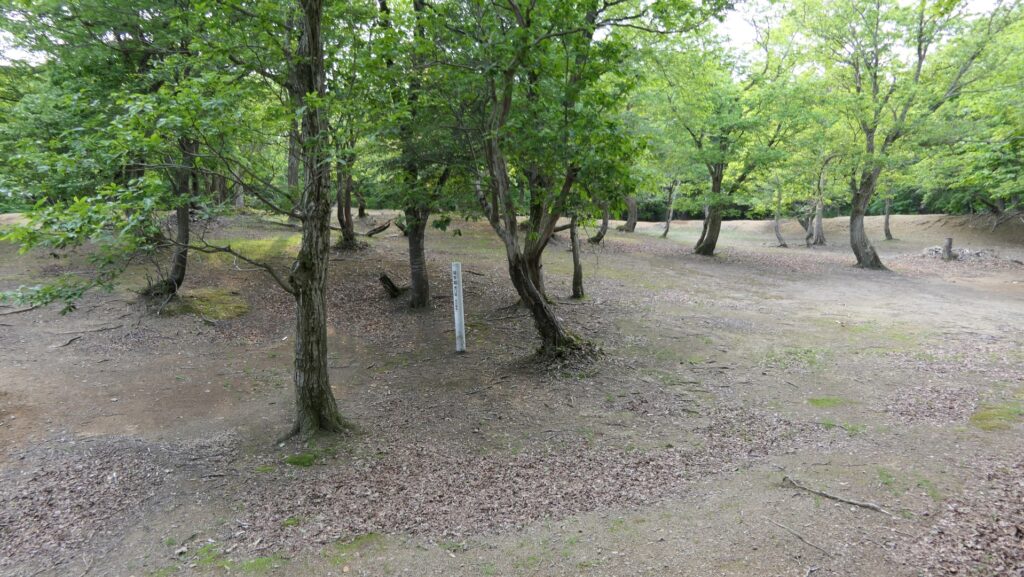
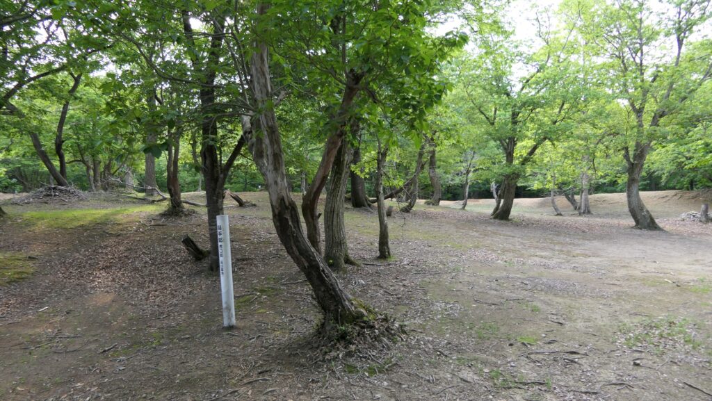
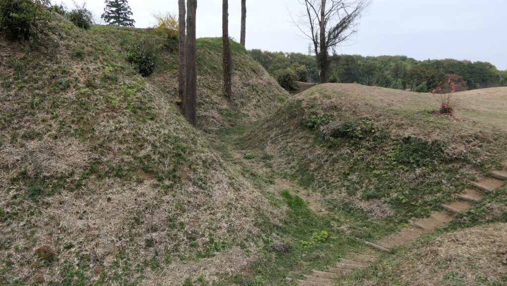
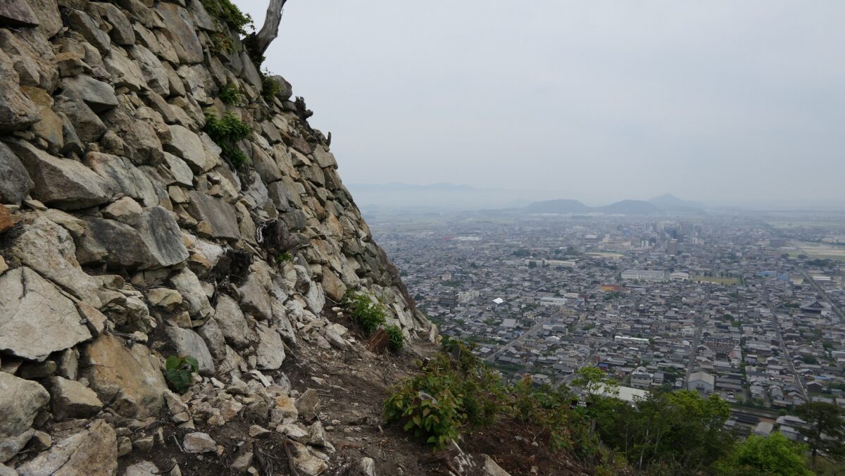
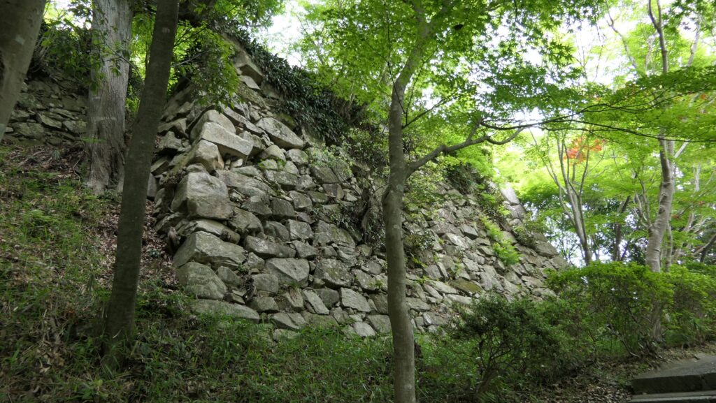
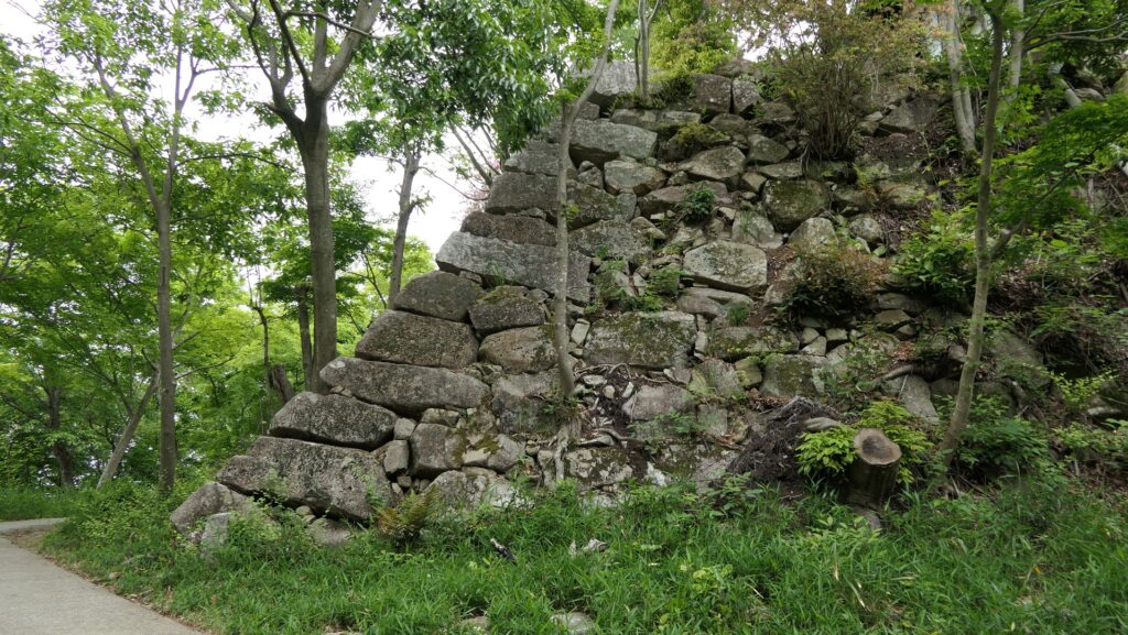
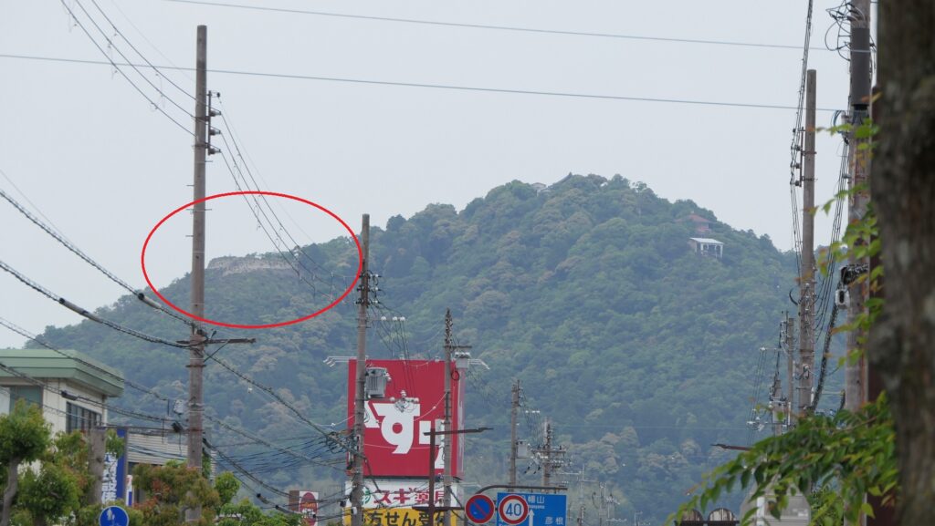
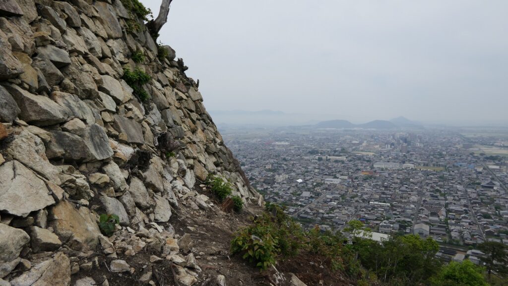
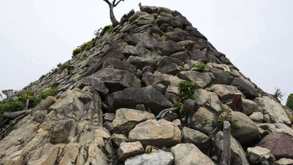
You can go to other enclosures by passing the Belt Enclosure as the route around the Main Enclosure. The high stone walls surrounding the Main Enclosure look old, wild but so great like those of Azuchi Castle. Historians are still not sure if these stone walls were completed by Hidetsugu or the Kyogoku Clan following him. A corner of them becomes round vertically, and it is not uncertain if the condition is original or it was from deterioration.
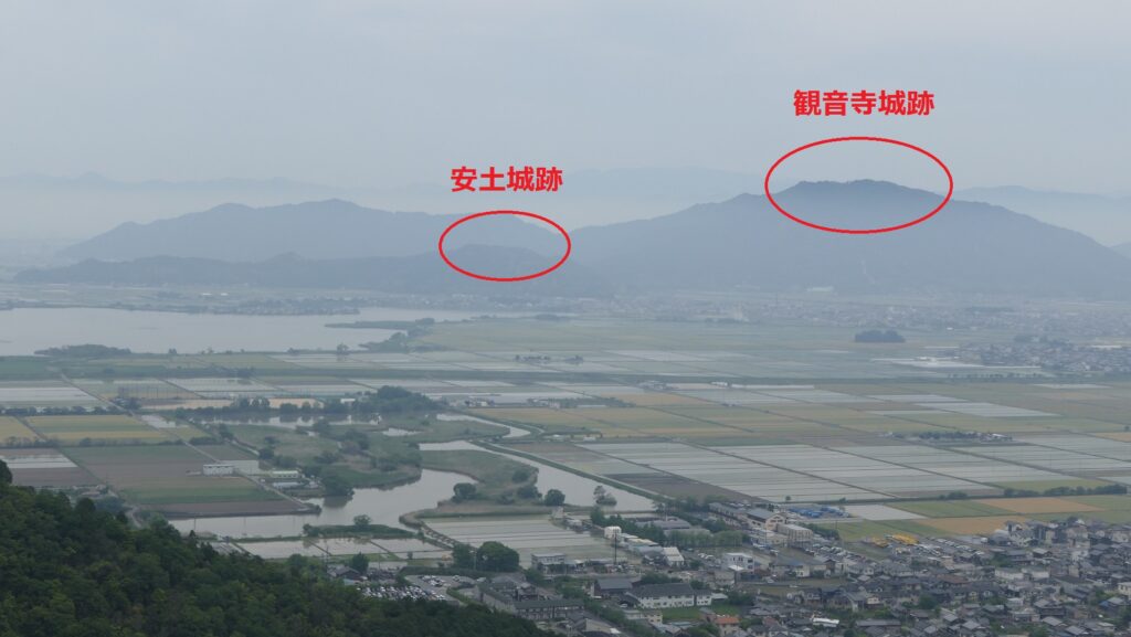
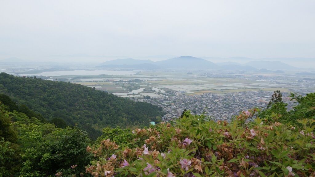
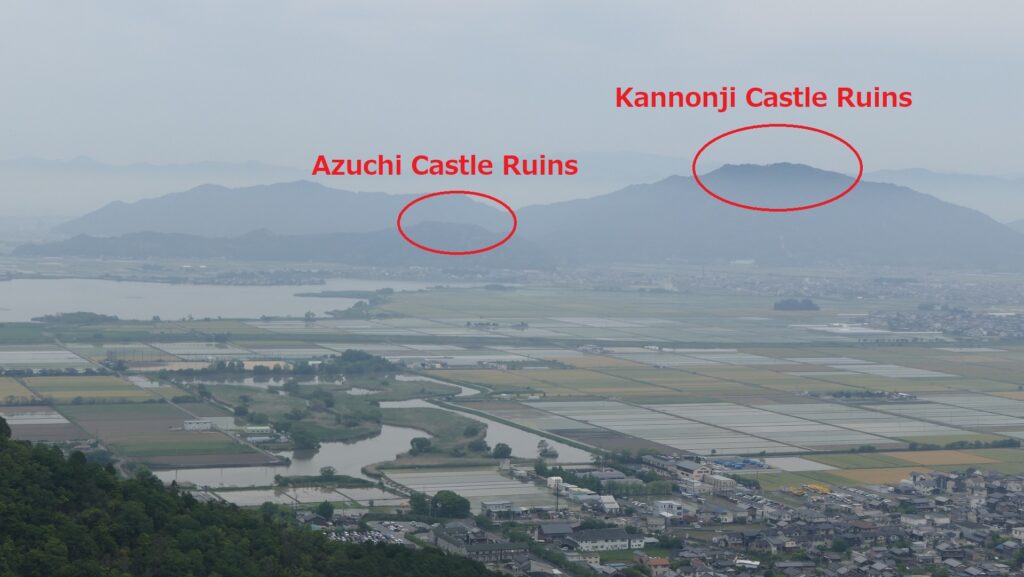
If you go to the Northern Enclosure which is another good viewing spot, you can see a view of the mountains with the ruins of Azuchi and Kannnonji Castles in the north.
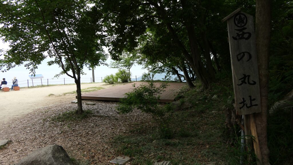
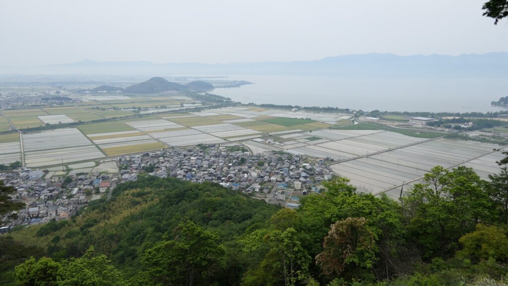
You can also go to the Western Enclosure with a view of Lake Biwa in the west.
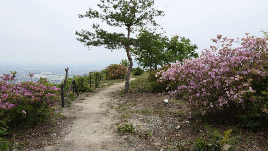
My recommended Barbican Enclosure
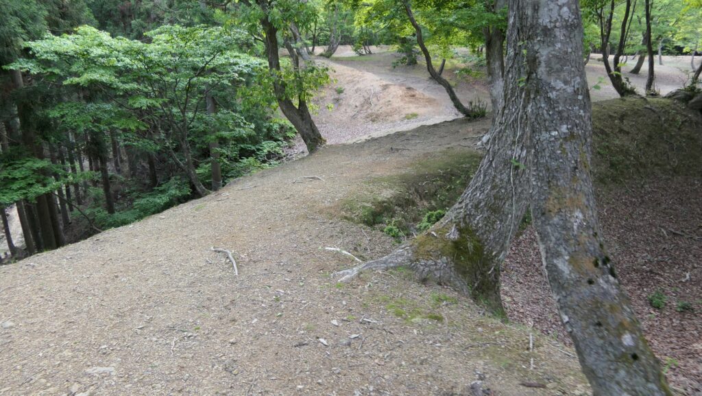
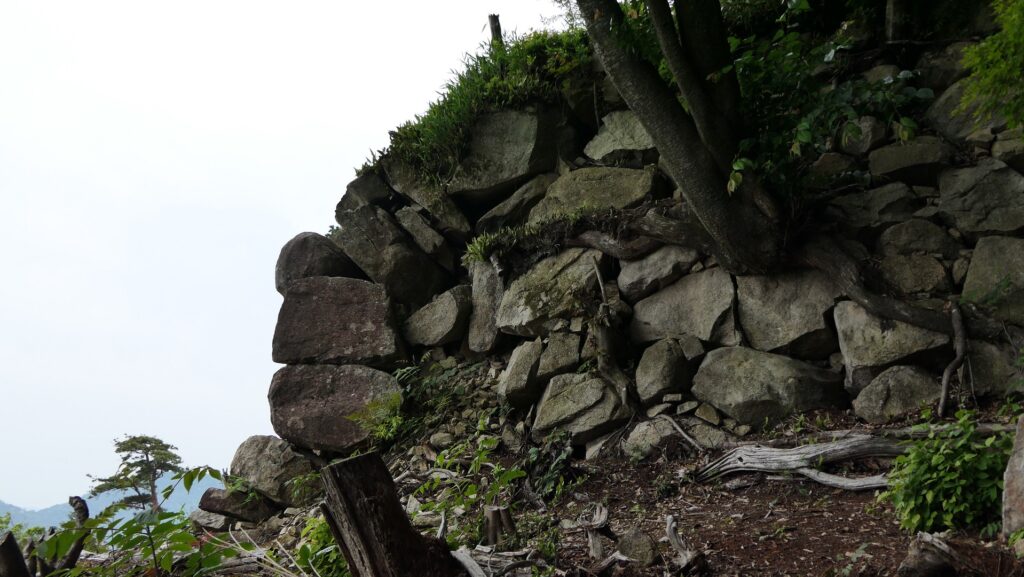
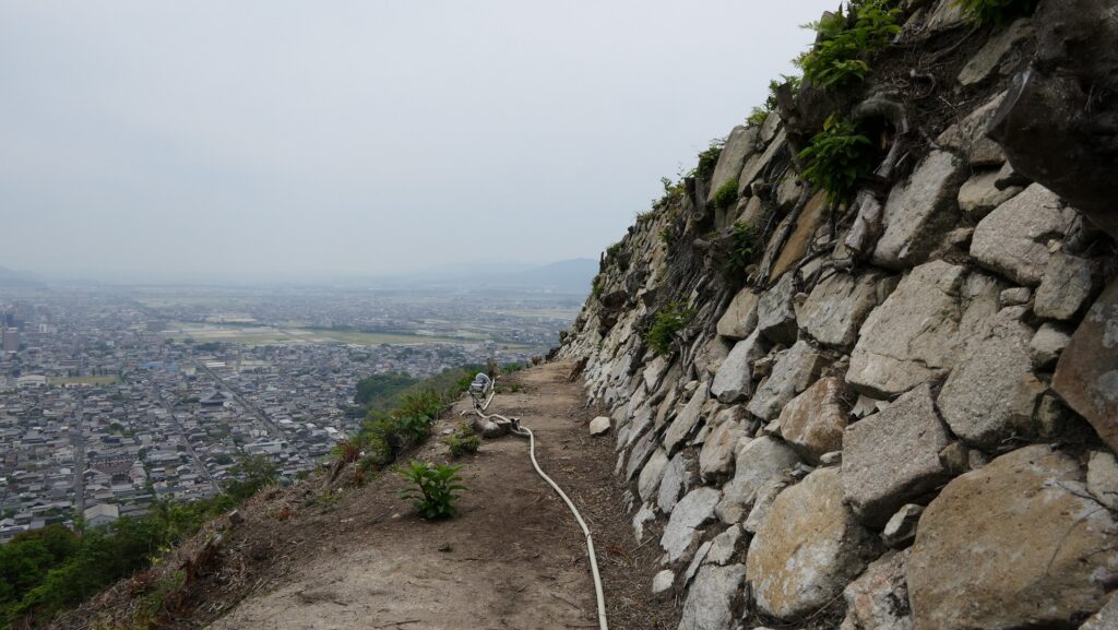
I recommend you go to the Barbikan Enclosure or Demaru because it was recently re-developed. The trees and bushes around the enclosure were cut down for a better view. You can get there by going down along the trail from the Western Enclosure. You will see a panorama view of the city area and you can imagine this enclosure should have been a good lookout.
You can also walk around the stone walls of the enclosure close by, which is about 4m high. However, please watch your step as its foundation is on the steep and rough slope.
To be continued in “Hachimanyama Castle Part3”
Back to “Hachimanyama Castle Part1”