Location and History
Emergence of Ikkoshu Sect
Torigoe Castle was located at the foot of the Hakusan Mountain in Kaga Province, which is now Hakusan City, Ishikawa Prefecture. It is known for the final place where the people of the lkkoshu Sect in the province, fought with the warlords to the last man in a conflict known as the Kaga Ikko uprising. After the Onin War in Kyoto in 1467, almost all the people in Japan had to protect themselves because the authority of the Ashikaga Shogunate had decreased in power. This is called the Sengoku Period, also known as the Warring States Period. Not only the lords and warriors, but also farmers and merchants along those at the temples had the power to maintain their territory and rights.
The location of the castle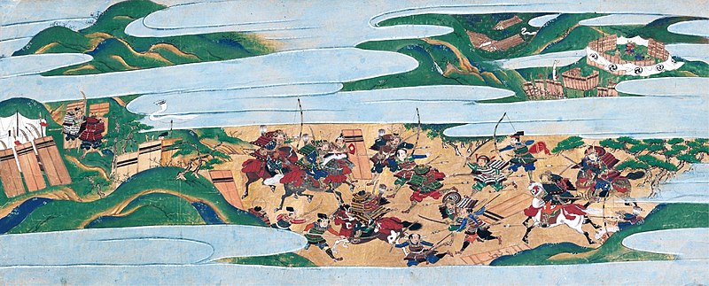
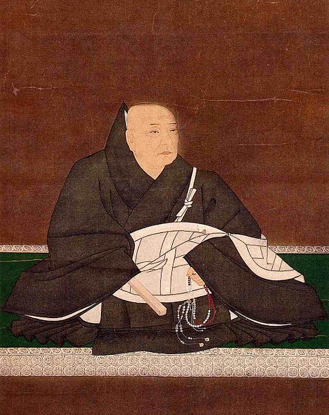
The lkkoshu was one of the sects of Buddhism, which spread across the country during that period. Many people believed it because the sect says if you only speak “Hail to Amitabha Buddha”, you would go to heaven. In addition to this simple doctrine, the 8th head of the sect in the 15th Century, Rennyo worked actively to build local organizations especially in what is now the Chubu Region, including Kaga Province. The organizations were primarily religious, but they eventually had political, economic, and military power with the situation of the period. Even a warlord asked the sect for help when fighting another warlord. When the sect fought for something, it was called Ikko-Ikki, or the Ikko uprising, having a big impact on the entire country. As a result, the sect acted like a warlord and his warriors, with its headquarters, called Ishiyama-Honganji Temple, at the former Osaka Castle.
Castle in Province owned by Peasants
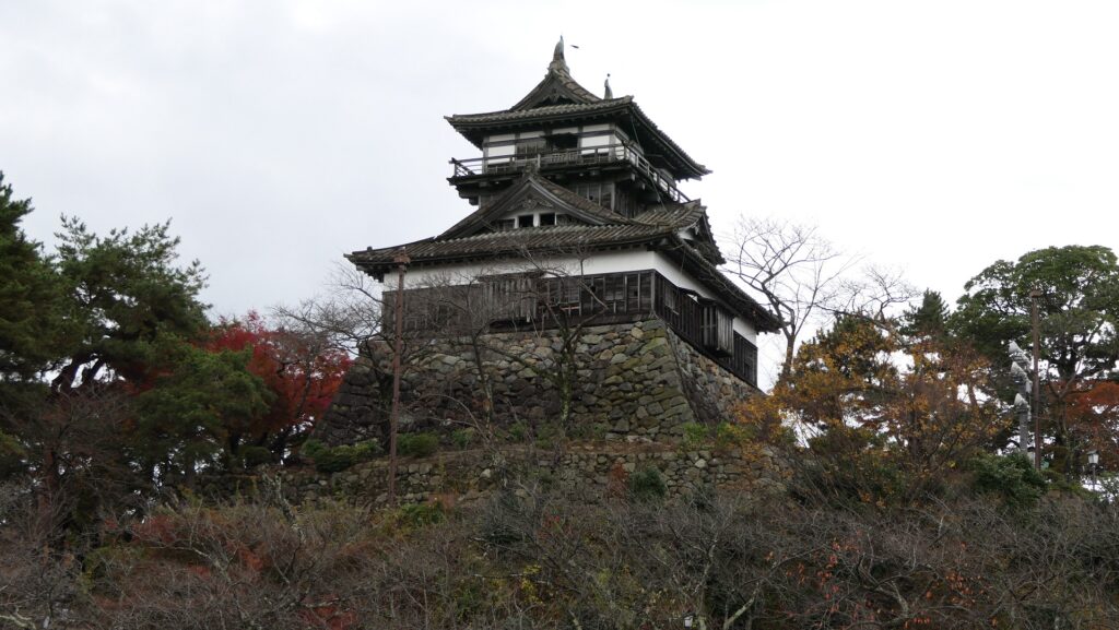
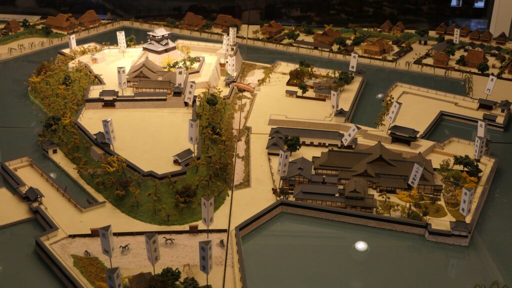
Kaga Province had one of the strongest organizations in the sect. The people in the organization, called the Kaga Ikko uprising, first supported the governor of the province, from the Togashi Clan, but soon fought against and defeated the clan. This was due to the high taxes the clan imposed, but the local lords in the sect also wanted to take lands away from the clan. The sect established Oyama-gobo Temple, the former Kanazawa Castle, to govern the province by themselves. Kaga Province was known as “a province owned by peasants”. The temple was the home base of the Kaga Ikko uprising and probably looked like a castle. The Kaga Ikko uprising also had many branch castles, including Torigoe Castle, in the province to protect themselves.
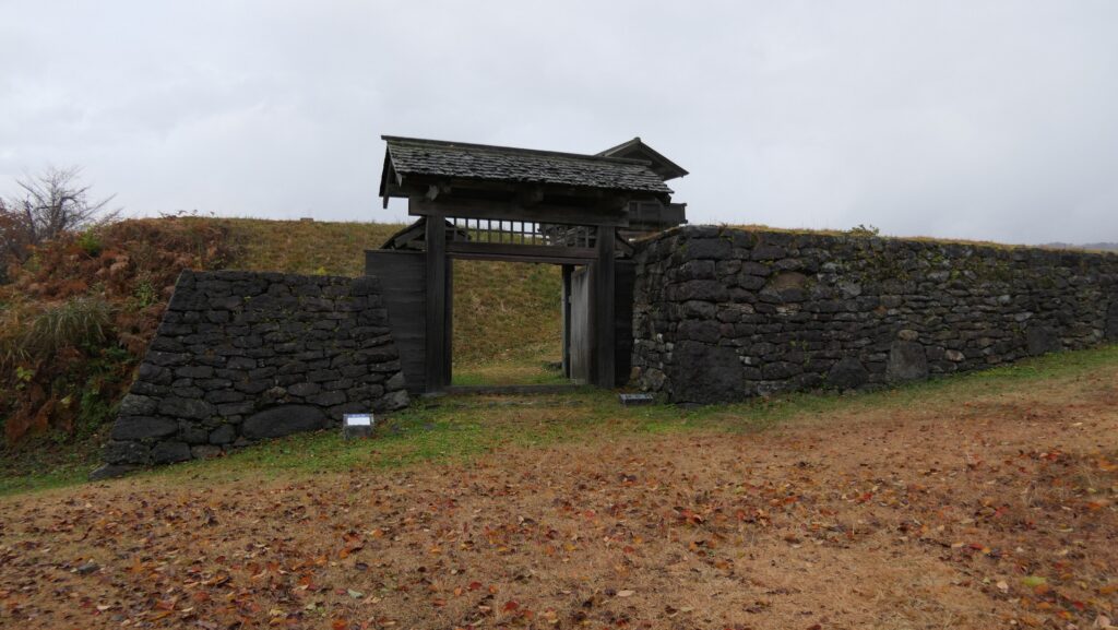
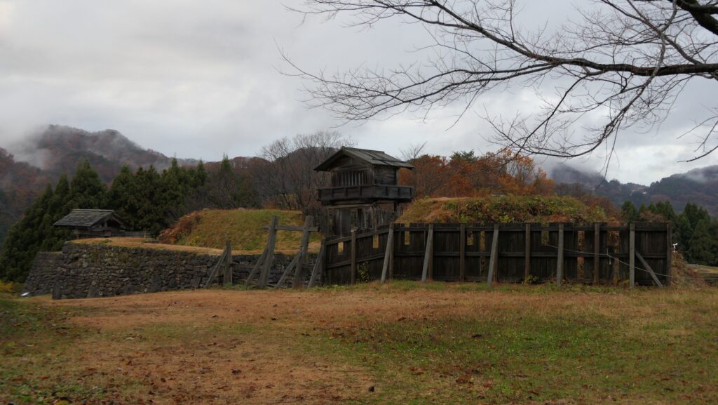
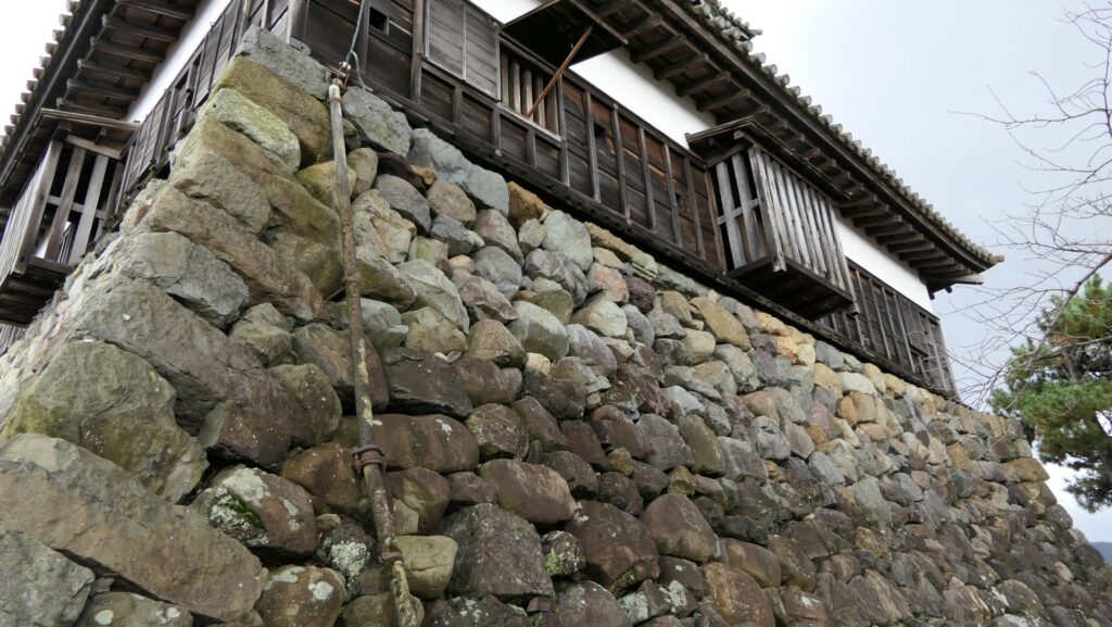
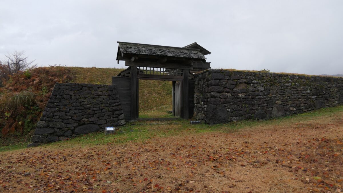
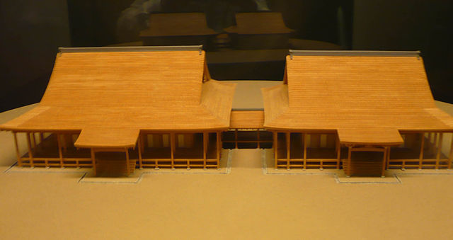
Torigoe Castle was the site of an internal group, called Yamanouchi-shu, in the Kaga Ikko uprising. The castle was built on a mountain above the meeting point of the Tedori-gawa and Dainichi-gawa Rivers. The castle had the Main Enclosure on the top. The other enclosures were around the Main Enclosure and along the ridge of the mountain. All the enclosures were made of soil and divided by the dry moats, using natural terrain. Such a castle could have been seen across Japan at that time as a “mountain castle”. It is thought that the head of the group, Suzuki Dewa-no-kami built the castle to protect them from Nobunaga Oda’s attacks.
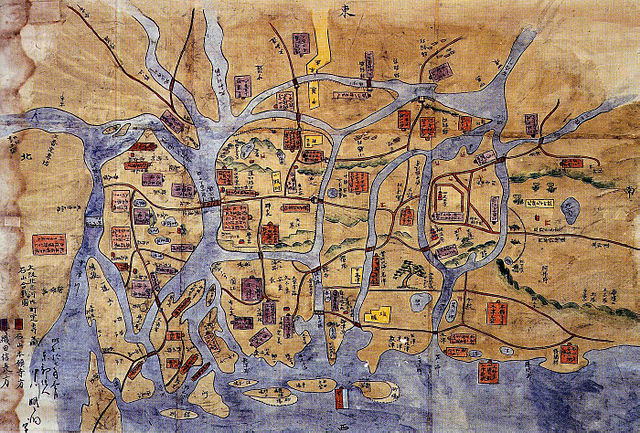
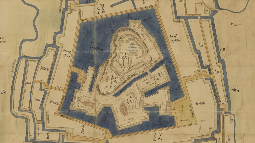
The map around the castle The relief map around the castle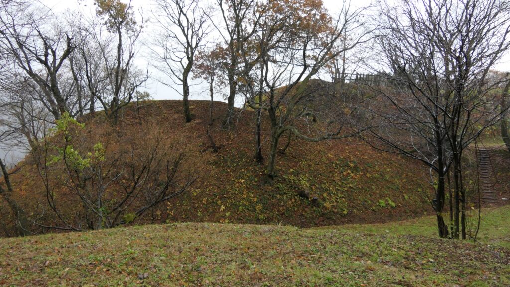
End of Kaga Ikko uprising
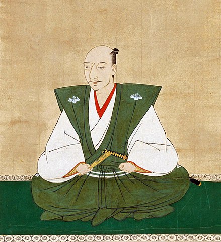
Nobunaga Oda was a great warlord who processed the unification of Japan in the 1570s-80s. He asked the religious institutions to waive their political and military power. If a temple rejected his request, he would destroy the temple completely, such as the fire attack on Mt. Hiei in 1571. Previously, in 1570, Nobunaga asked the Ikkoshu Sect to withdraw from its home base, Ishiyama-Honganji Temple. The sect refused, and after that, they fought each other for the next 11 years, known as the Battle of Ishiyama. Nobunaga’s retainers also attacked the local organizations of the Ikkoshu Sect, including the Kaga Ikko uprising. The Yamanouchi-shu group battled Nobunaga’s troops at Torigoe Castle even after Ishiyama-Honganji Temple surrendered in 1580. However, they were finally defeated, and with the rest of the survivors being killed in 1582. This could be considered as the final resistance of the Kaga Ikko uprising.