Location and History
Pre History of Kochi Castle
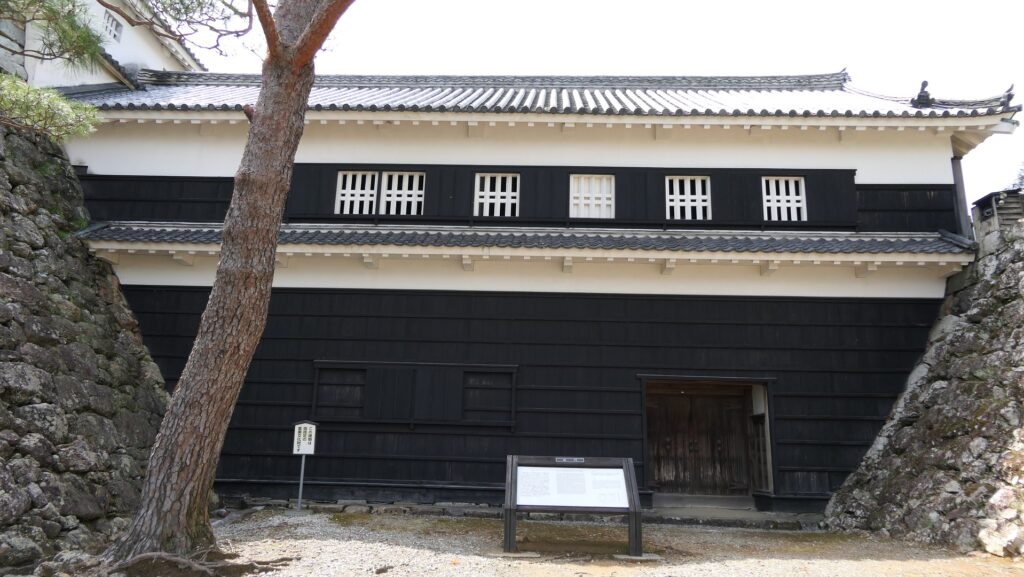
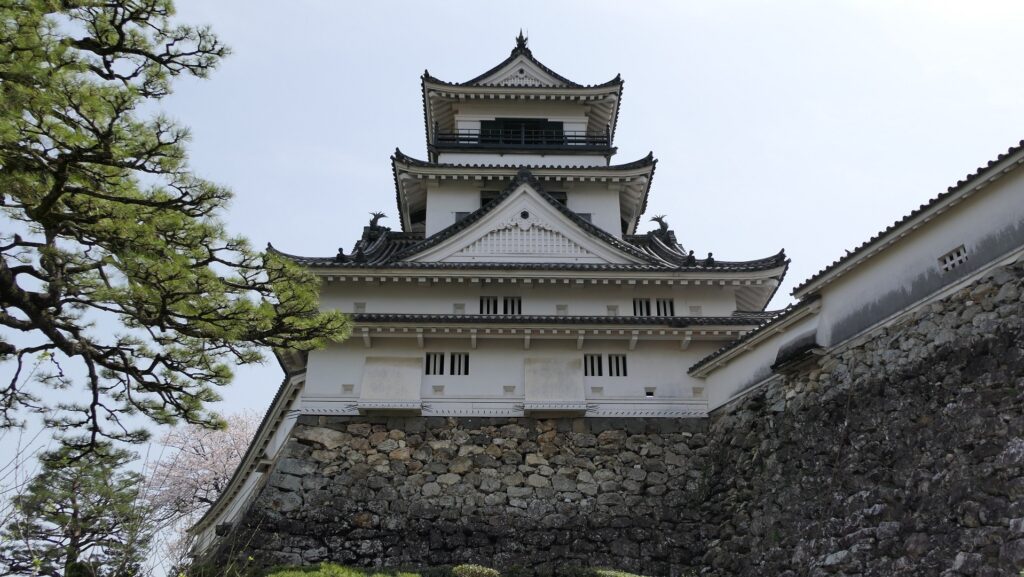
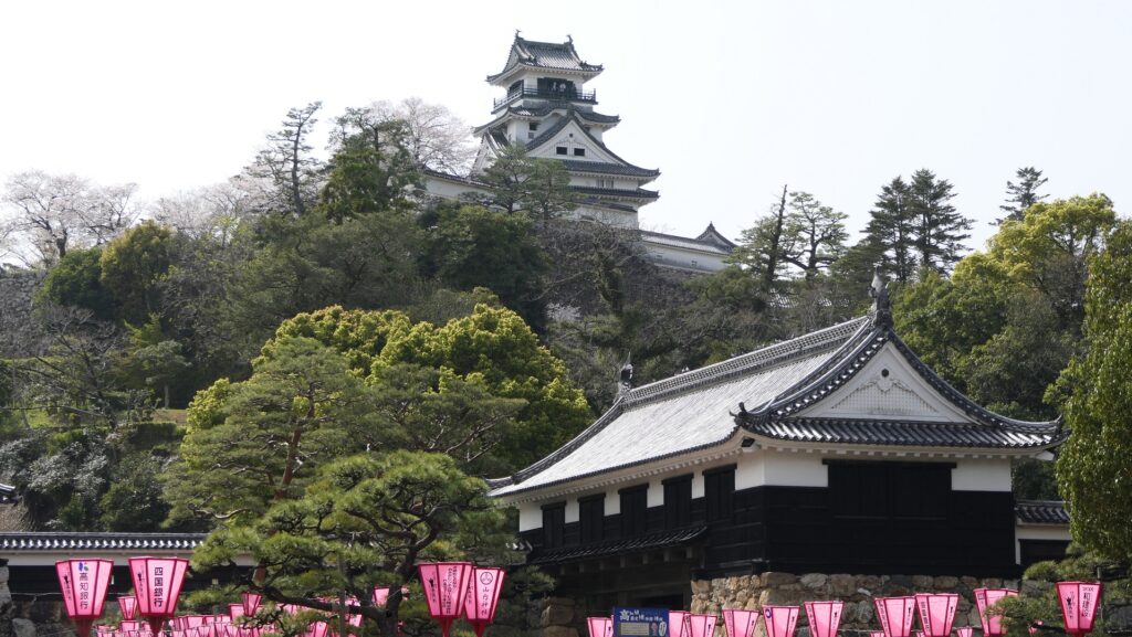
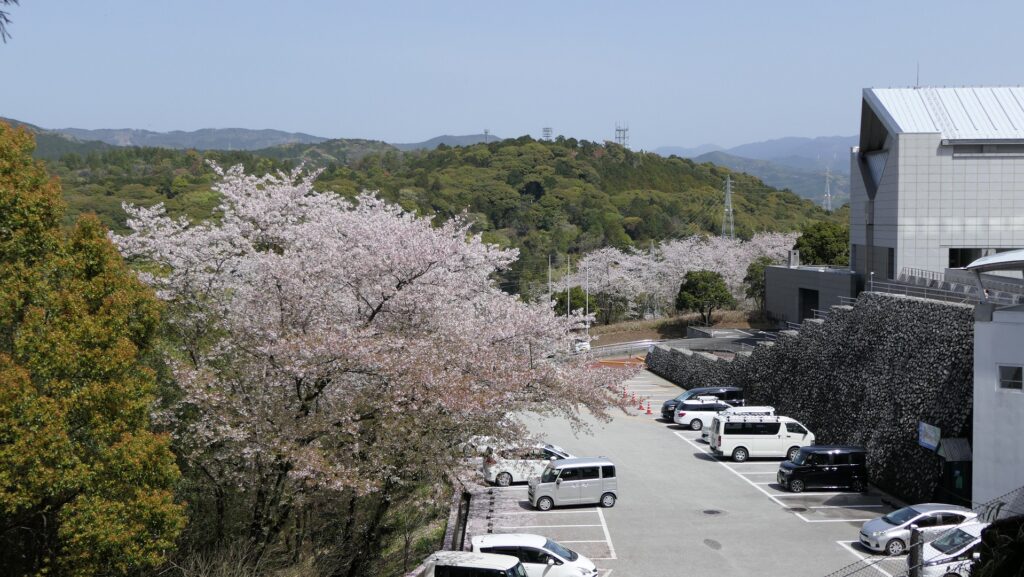
Kochi City originated from the name Kochi Castle and is the capital of Kochi Prefecture on Shikoku Island. Kochi Castle is one of the most popular tourist spots of the prefecture. It has many remaining castle buildings including the Main Gate, the Main Hall, and the Main Tower. The castle was built on a low mountain called Mt. Otaka-sakayama, but it is uncertain when it was first built. In 1588, Motochika Chosogabe, the lord of Tosa Province, what is now Kochi Prefecture, moved his home base from Okoh Castle to Kochi Caste, which was called Otaka-sakayama Castle at that time. However, he moved again to Urado Castle after only a three-year stay in Otaka-sakayama Castle. This could be because the area received a lot of rain but had poor drainage.
The location of the castle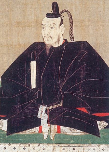

Kazutoyo Yamanouchi built Kochi Castle
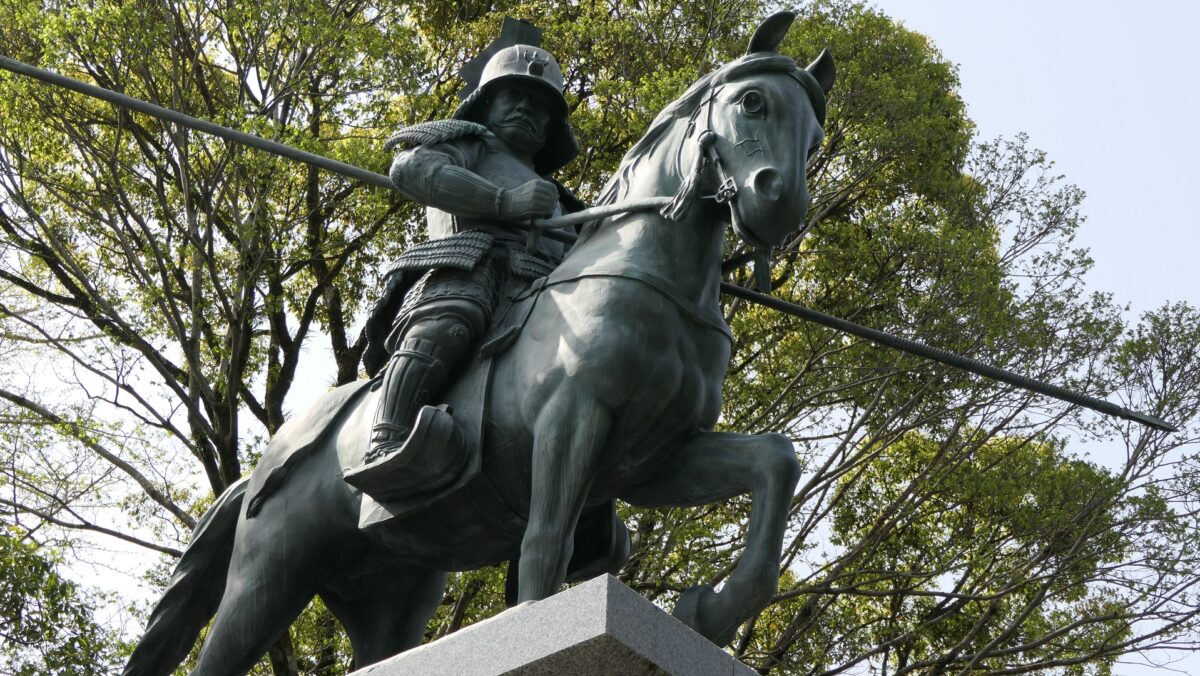
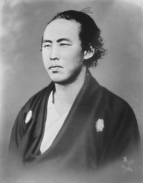
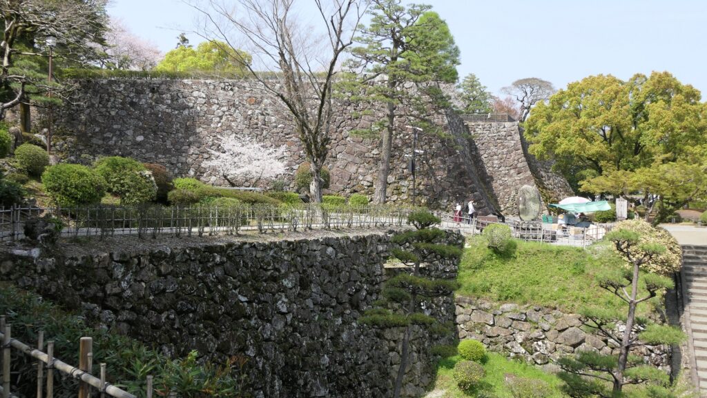
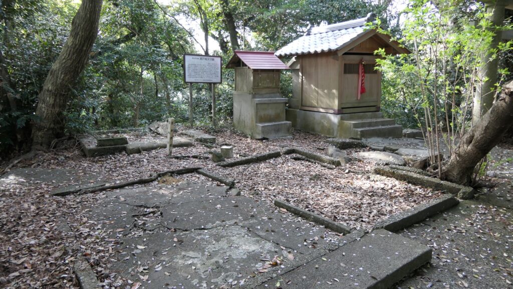
In 1601, Kazutoyo Yamanouchi was promoted by the Tokugawa Shogunate to a new lord of Tosa Province and became the founder of the Tosa Domain. He tried to rebuild and live in Otaka-sakayama Castle which had enough space to build the castle town. The castle was rebuilt with advanced technology at that time, such as building stone walls and large-scale buildings. After the completion of the castle, it was renamed Kochi Castle. As a result, the Yamanouchi Clan governed the castle and the province all through the Edo Period.
Features of Kochi Castle
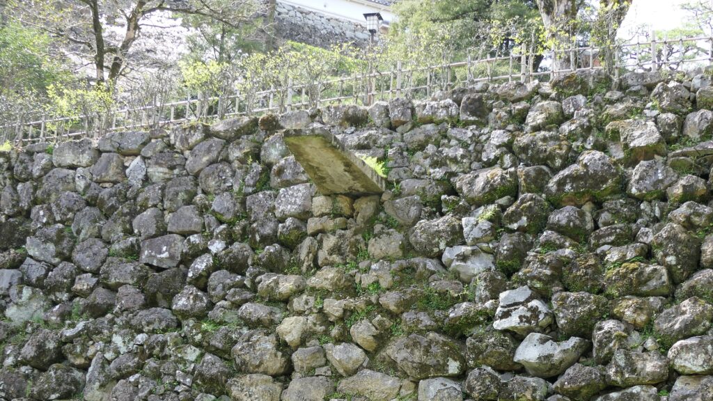
Kochi Castle had several interesting features. First, the castle had a lot of stone troughs to allow for proper drainage if it rained a lot. Such a system was very rare for castles in Japan and can even now be seen when you visit the castle.
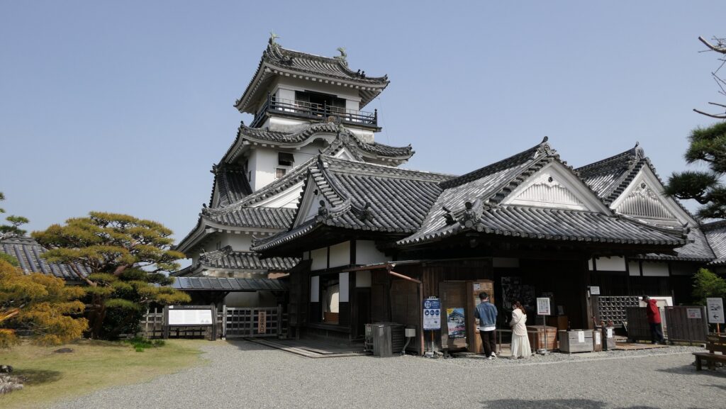
Secondly, the castle had an old-style Main Tower, called the lookout tower type, for the period of its construction. It is said that Kazutoyo wanted to build the Main Tower resembling the Main Tower of Kakegawa Castle, where he lived before he went to Tosa Province. For this reason, when people in Kakegawa restored the Main Tower of Kakegawa Castle in the present time, they used the design plans of the remaining Main Tower of Kochi Castle.
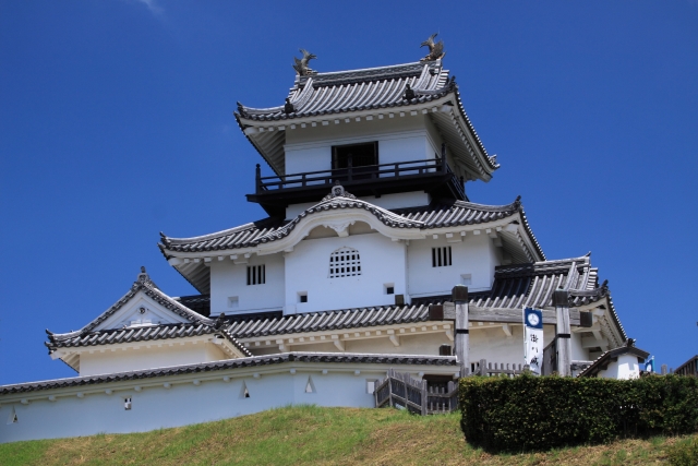

Most of the castle buildings including the Main Tower were unfortunately burned down by a great fire in 1727. When the Tosa Domain rebuilt the castle after the fire, they restored the Main Tower in 1749 in a way which was almost the same as the original one, not using a new style. This could be because the shogunate just allowed the domain to use the original style even for rebuilding. It is also said that the warriors in the domain still loved the style of their founder, Kazutoyo. The Main Tower also didn’t stand on a stone wall base and was connected directly to the Main Hall in the Main Enclosure on the top of the mountain. It is thought that this is also one of the styles of old castles.
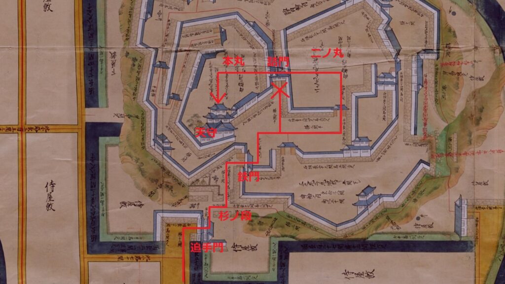
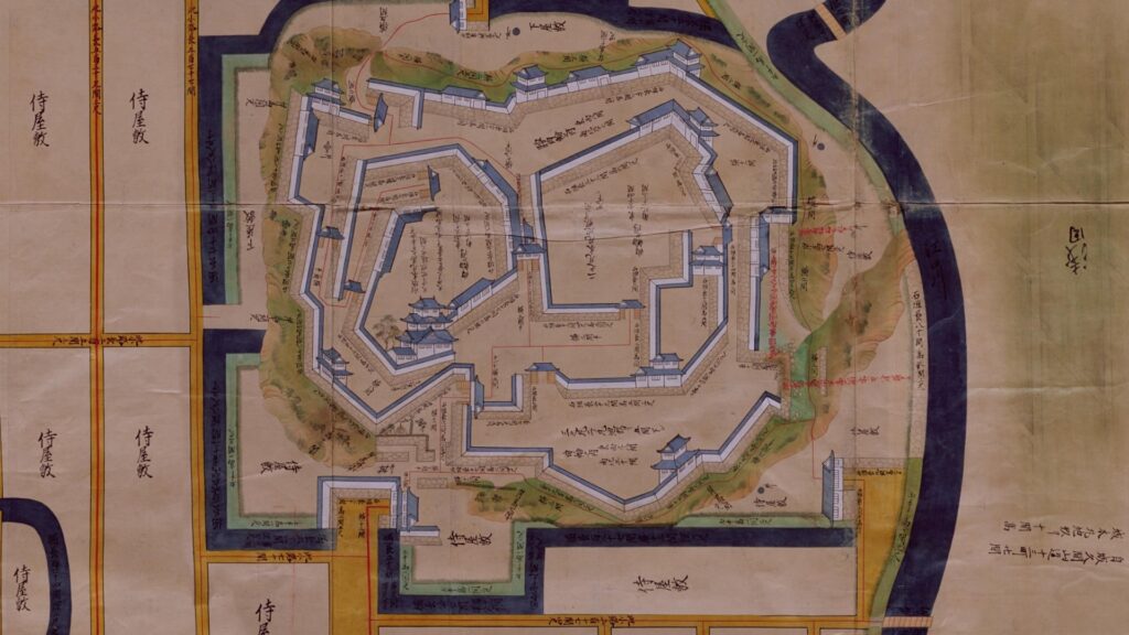
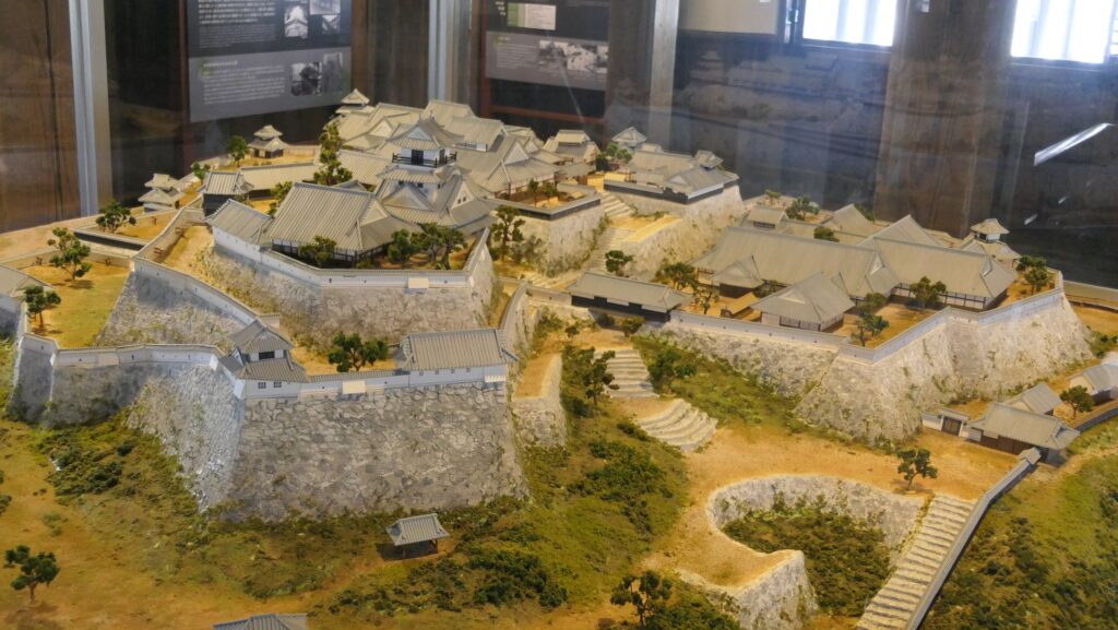
The castle also had a feature using both buildings and natural terrain of the mountain for defense. If enemies attacked the castle to reach the Main Tower, they had to pass through the Suginodan Enclosure and the Second Enclosure which were built around the slope of the mountain. In addition, if enemies passed the Iron Gate before the Second Enclosure, they could be near the Main Tower and see the Tsumemon-Gate which looked like the gate to the tower. However, it was just a bridge between the Main Enclosure and the Second Enclosure, which the enemies could never go across from that point. This is a tricky system to prevent enemies from reaching the center of the castle.

