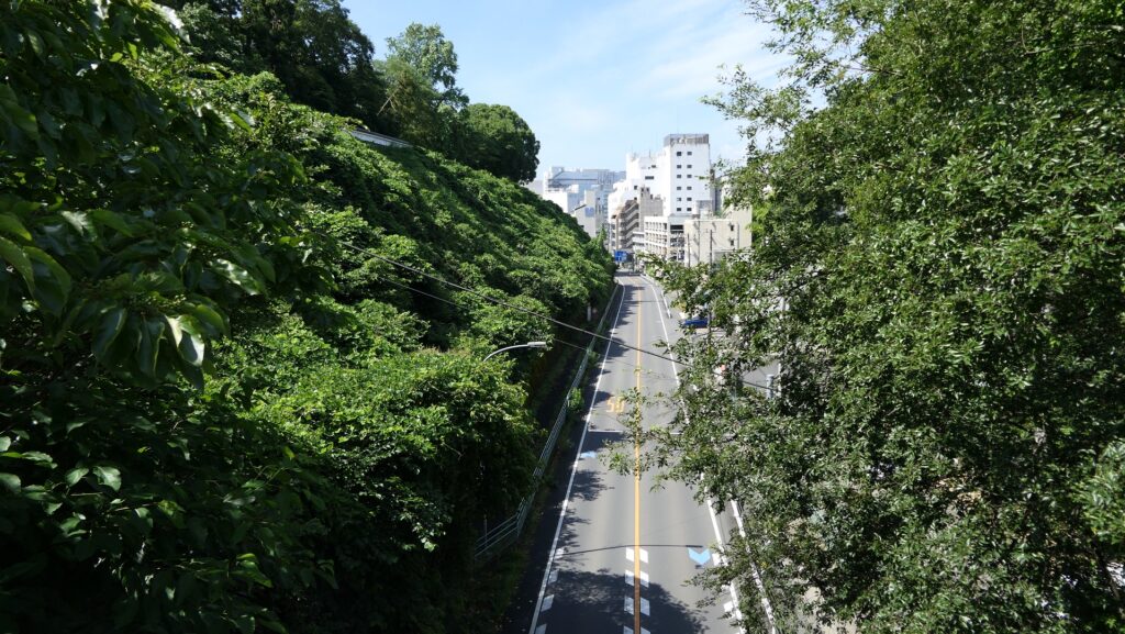
You can visit the castle ruins from Mito Station through the road which goes on the big valley between the left and right hills. Surprisingly, it is artificial.
Features
Dry Mort becomes Car Road
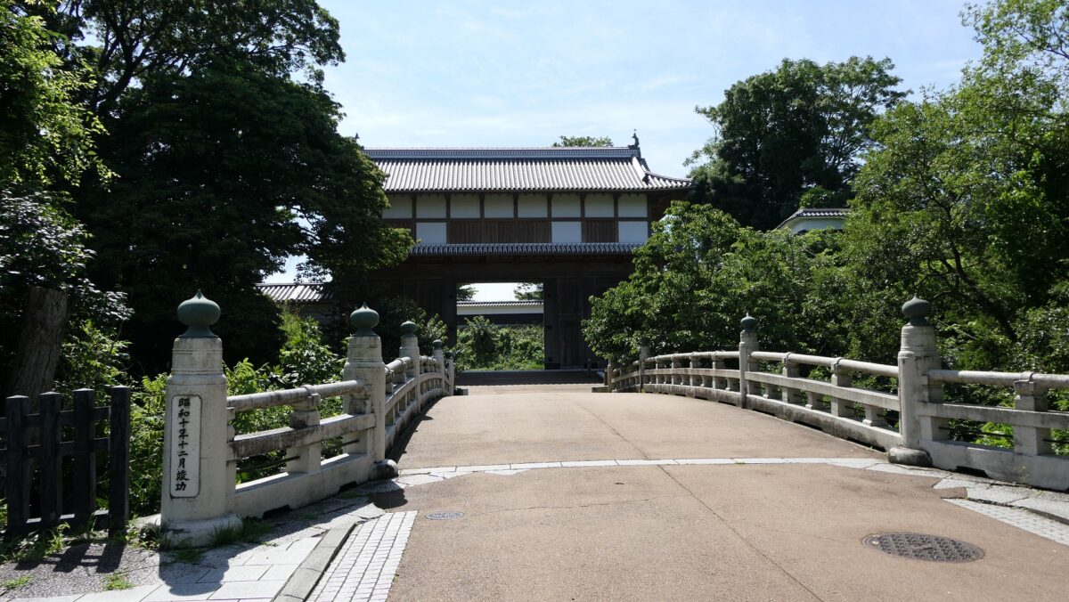
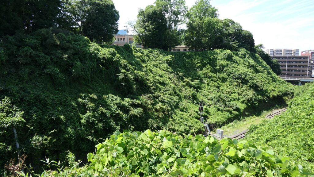
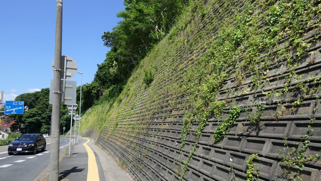
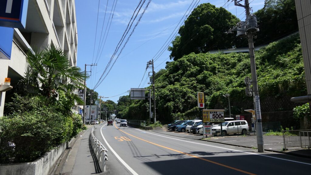
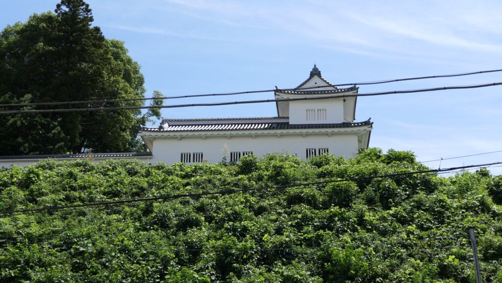
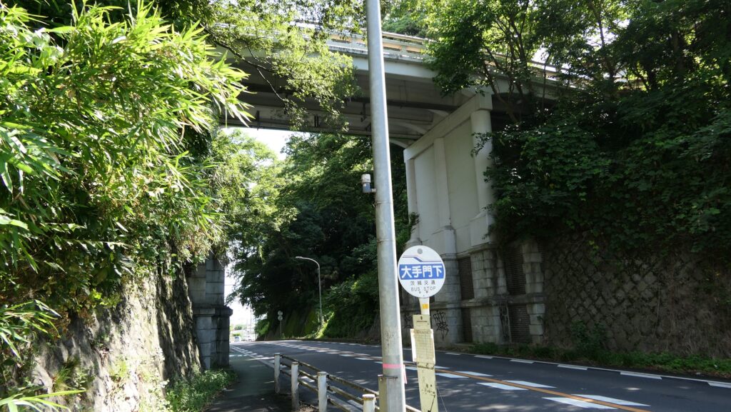
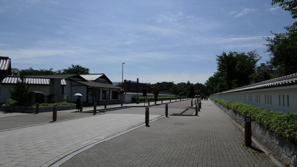
Today, the ruins of Mito Castle are easy to go to because JR Mito Station is nearby. There are roughly two routes from the station to the castle ruins. One is the path that involves climbing the slope to the Third Enclosure on the left hill and the other is the road which goes on the big valley between the left and right hills. Surprisingly, it is artificial. If you choose the latter one, you can see the scale of one of the former dry moats of the castle. You can also see the restored Corner Turret on firm earthen walls of the Second Enclosure on the right. You will eventually reach under the Main Bridge between these enclosures.
The aerial photo of the castle, the broken red line shows the route through the dry moat from Mito Station
The road through the valley which was the dry moat between the Second and Third EnclosuresThe restored Corner Turret of the Second EnclosureThe spot under the Main Bridge
This is where Battle happened
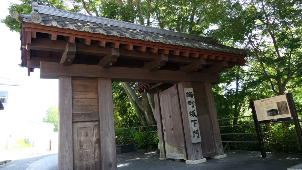
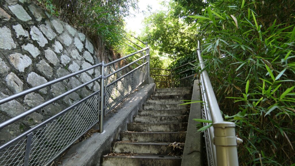
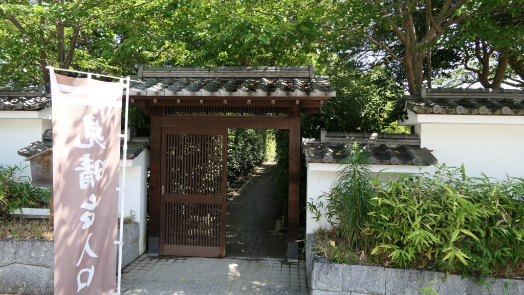
You can climb the steep stairways from the bottom to the tops of the enclosures on both sides, which are about 12m high. In fact, this area is where the second battle between the Shosei and Tengu Parties happened. The Shosei Party tried to break the Main Gate but failed, so they stayed in the Kodokan domain school. The Tengu attacked and destroyed them. However, that resulted in most of the domain school’s buildings being burned down. Only its front gate and the other few buildings remain as a historical site and museum.
Climbing the steep stairwayThe area around the Main BridgeThe front gate of the Kodokan domain school
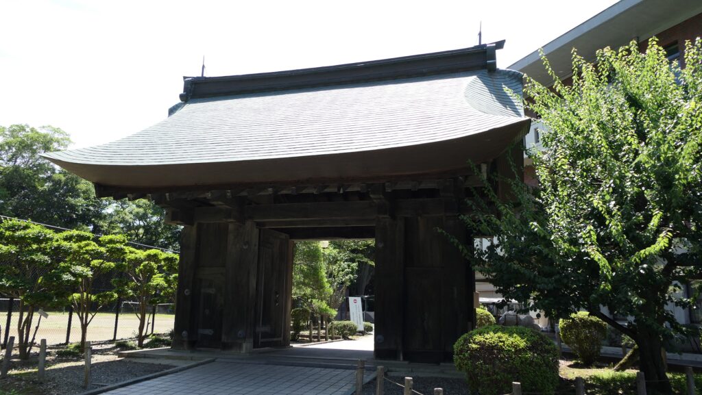
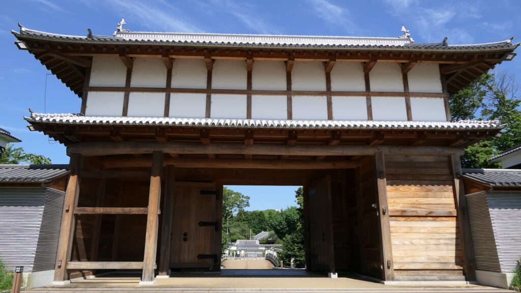
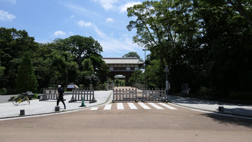
Restored Main Gate
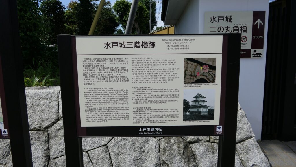
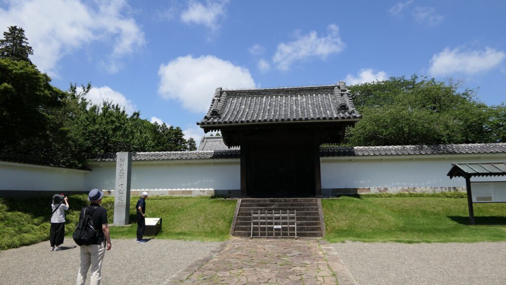
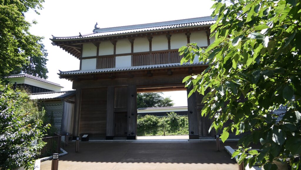
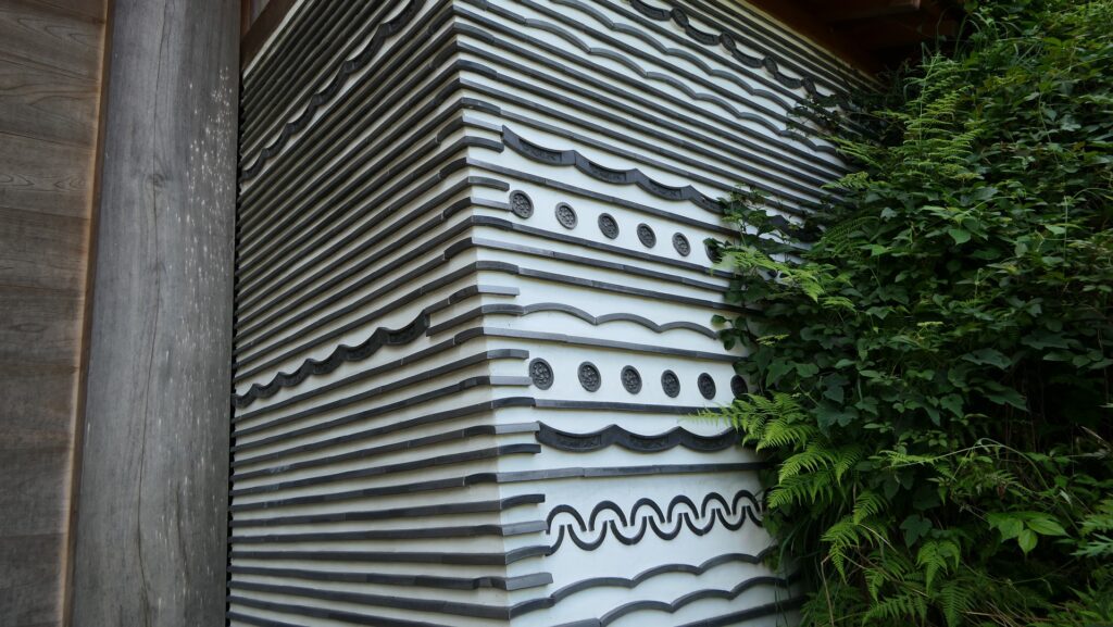
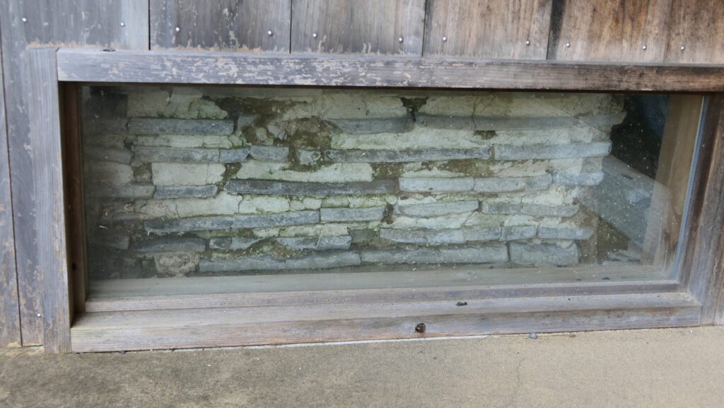
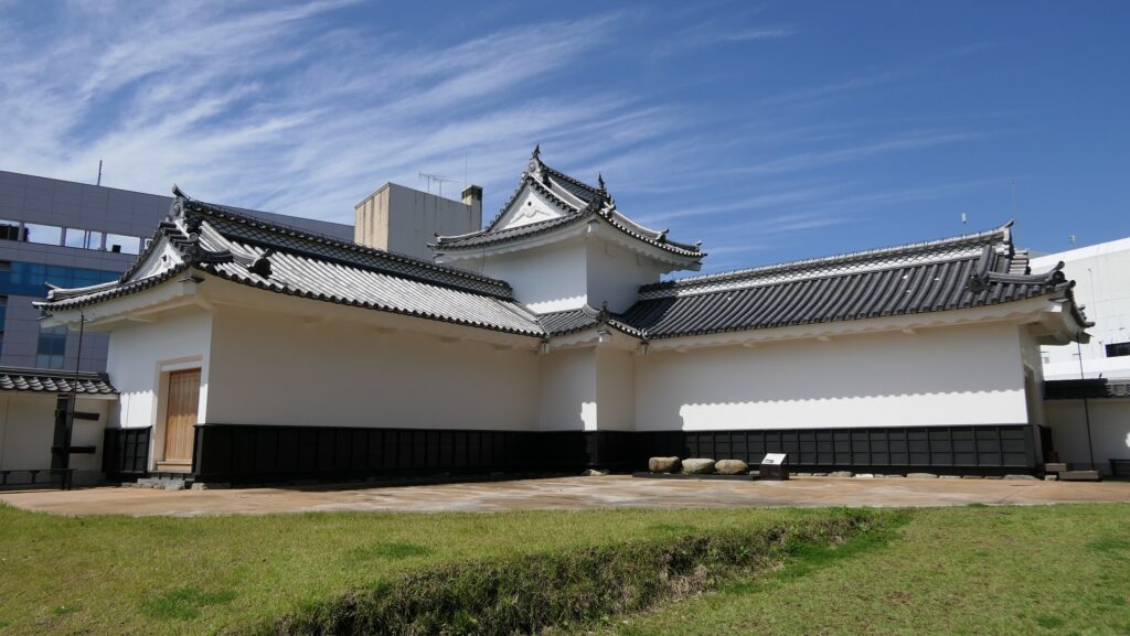
The Main Gate survived in the battle but was also burned down by an arson in the early Meiji Era. The current Main Gate was just restored back in 2020 as the same as it was in the traditional method. It is very large, which is about 10m high and 20m wide, and suitable for the front of the castle. One of its original features was to use tile walls which refer to being piled by roof tiles and clay alternating. This was completely restored in the current gate, which look very beautiful. In addition, some of the excavated original ones can be seen in the window below on the left side of the gate.
The restored Main GateThe restored tile walls of the Main GateThe excavated original tile walls can also be seen
Second Enclosure becomes School areas
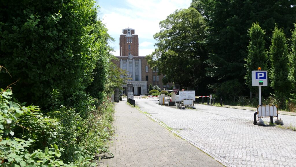
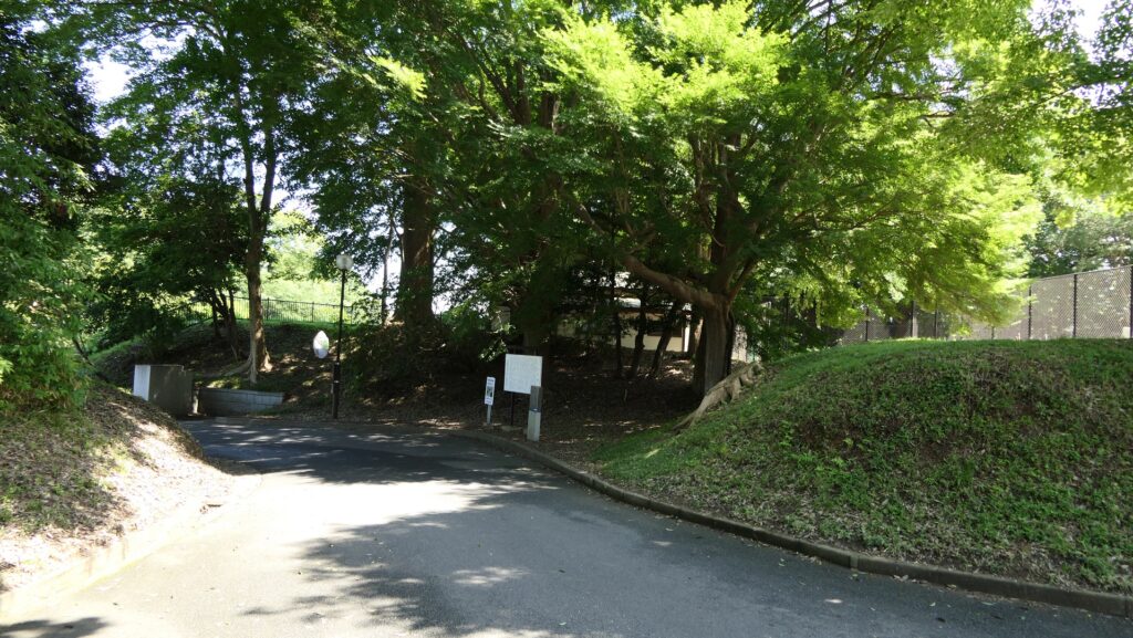
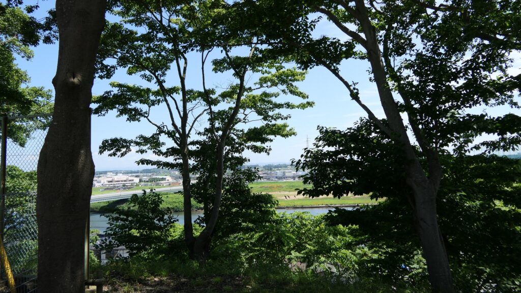
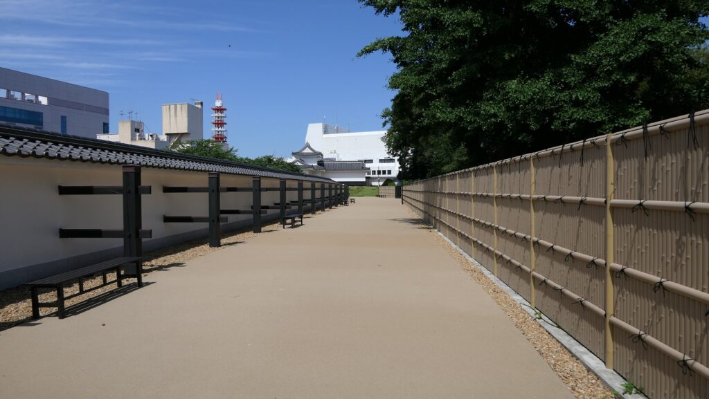
The inside of the Second Enclosure had the Main Hall, the Three-level Turret and the Shokokan institute but has become school areas, which may follow the educational policy of the Mito Domain. The street going through the enclosure is along the white mud walls on both sides, which look as if castle buildings are still there. However, visitors are available to enter only the designated areas. For example, if you want to see a view of Nakagawa River to the north of the hill, you need to go and return to the same path. the view itself is good and you can understand the river was a natural hazard of the castle.
The map around the Second Enclosure, the broken red line shows the route to the observation platform and the broken blue line shows the route to the Corner Turret of the Second Enclosure
The central street of the Second EnclosureThe route to the observation platform in the northA view of the Nakagawa River in the north
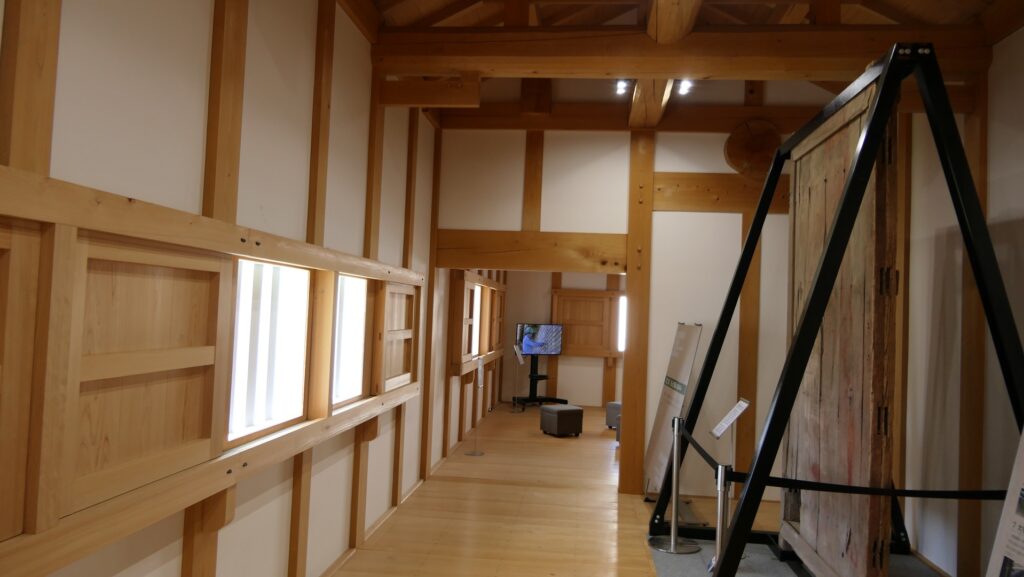
Similarly, you can see the interior of the Corner Turret by going through another but much longer single path.
The route to the Corner TurretThe Corner Turret seen from the inside of the Second EnclosureThe interior of the turret