Features
Still active Main Enclosure front gate
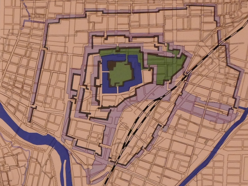
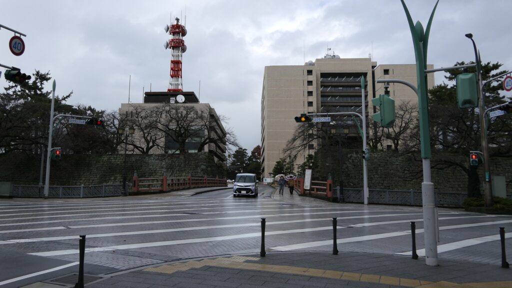
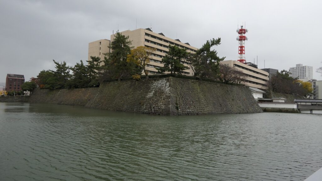
Now, the ruins of Fukui Castle have been used as a park and the ground for official buildings including the prefectural office. The area of the ruins is inside the Inner Moat including the Main Enclosure.
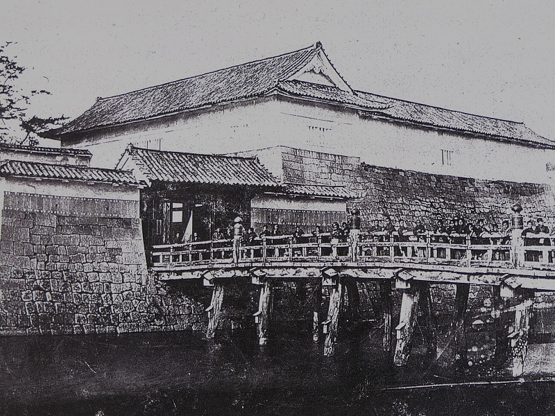
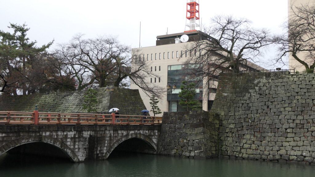
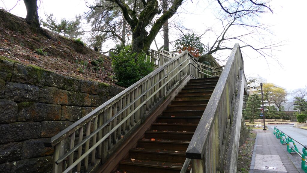
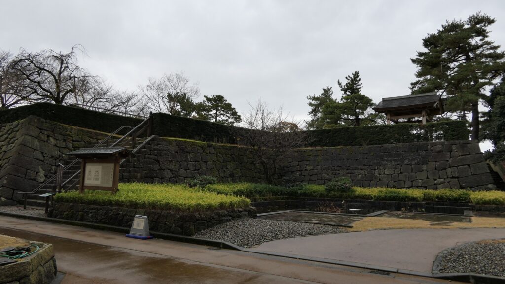
The aerial photo around the castleThe public workers commute by entering the front gate of the enclosure in the south, after crossing the Gohonjo Bridge over the Inner Moat, like the warriors of the Fukui Domain used to do. In the past, the front gate consisted of a defensive square space surrounded by two gate buildings and the stone walls, called Masugata. You can climb up to part of the remaining stone walls to look around the gate.
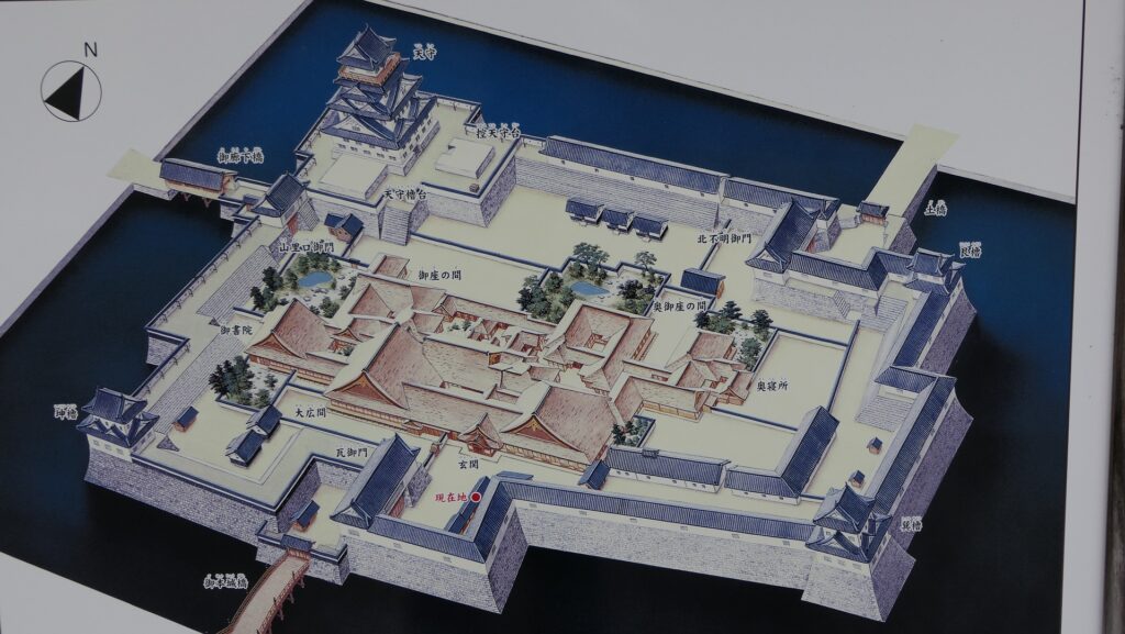
Must-see Main Tower Base
You can walk around the inside of the Main Enclosure, but only outside the office buildings where the Main Hall was.
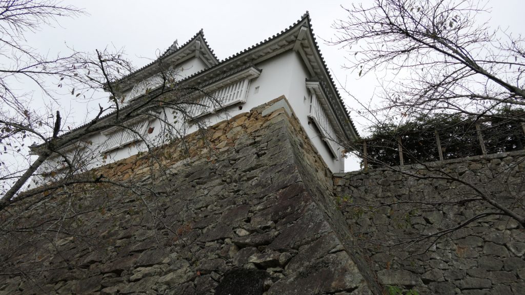
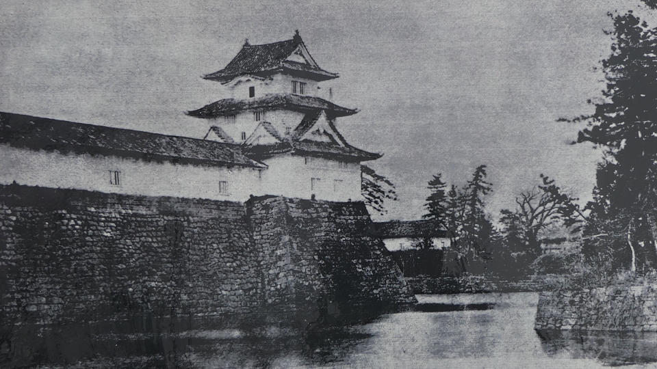
You should check out the remaining stone wall base for the Main Tower at the northwest corner of the enclosure. The base has two tiers, and the upper tier is for the large Main Tower and the small Main Tower. The stone walls look great but appear to have partially collapsed or are misaligned. This is due to the Fukui Earthquake in 1948.
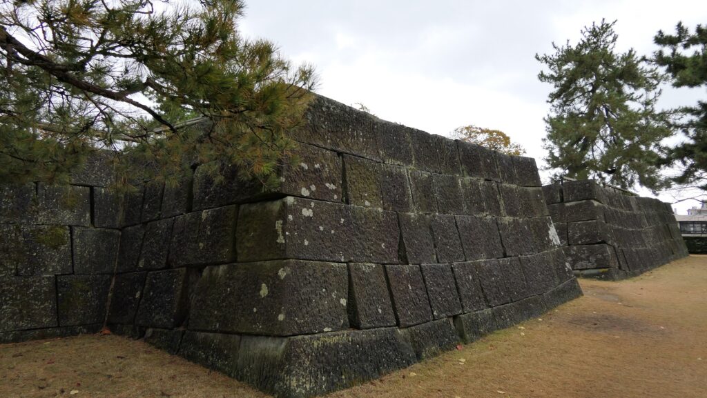
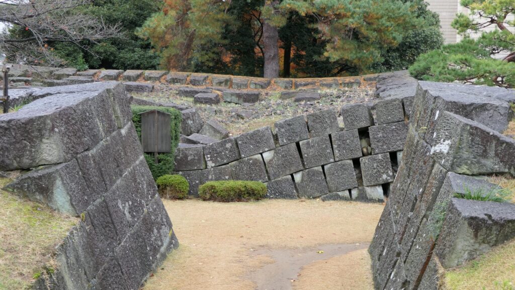
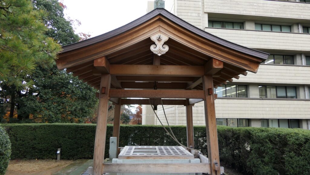
The restored well, called Fuku-no-i or the Fortune Well, is still on the lower tier. In fact, some people say the name of the well may be the origin of the castle’s later name, Fukui.
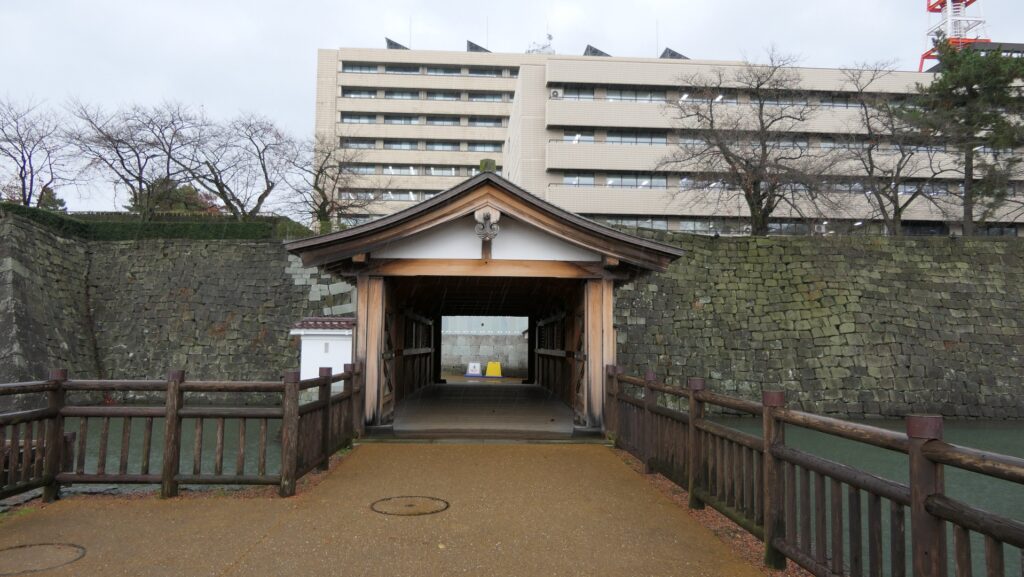
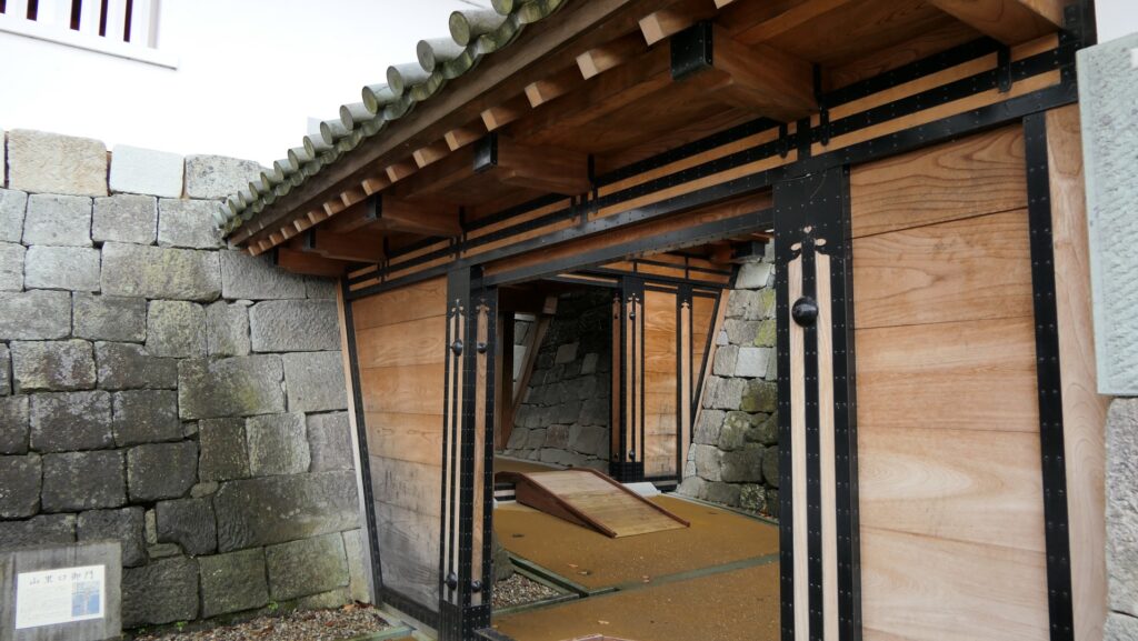
Restored Gate and Bridge
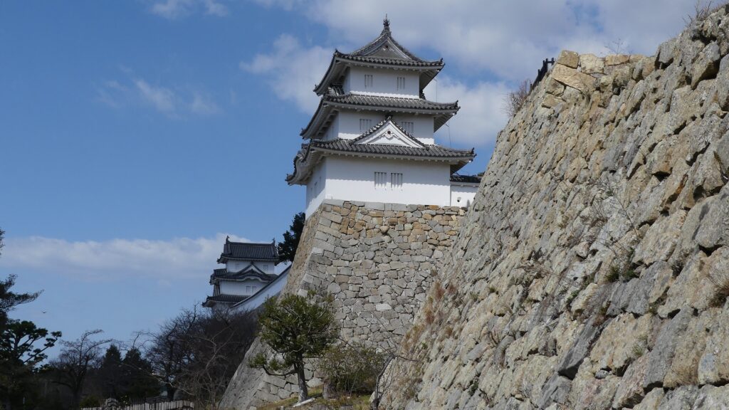
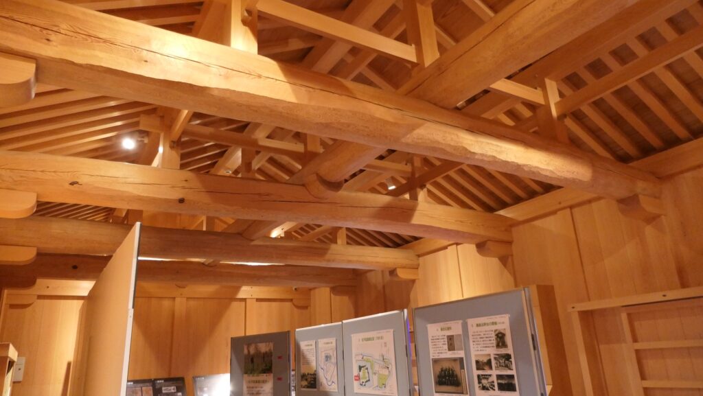
At the western entrance of the Main Enclosure near the base for the Main Tower, the gate building called Yamazatoguchi-gomon and the roofed Passage Bridge called Oroka-bashi over the Inner Moat were restored recently in the original method.
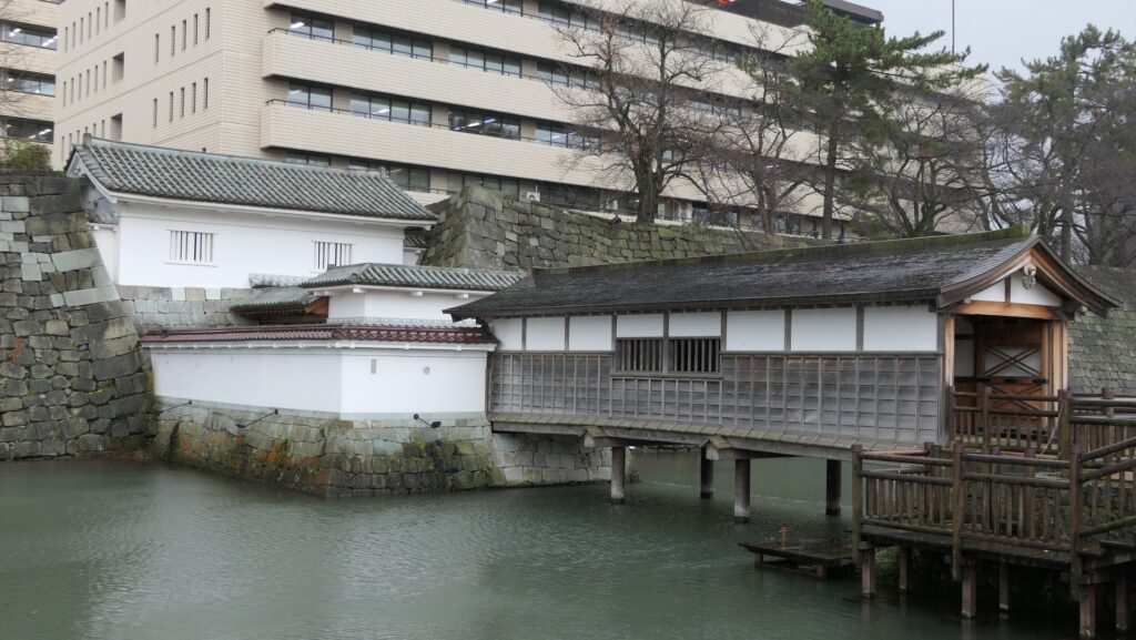
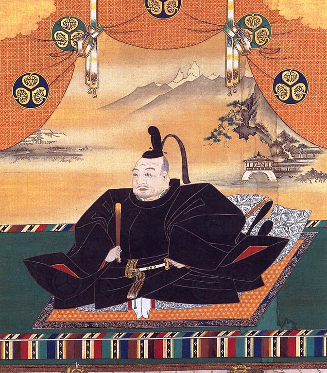
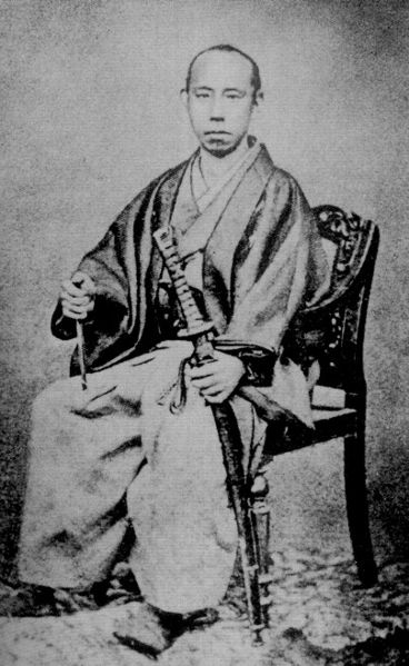
The lord of the castle passed the original bridge and gate from his residence called Gozasho outside the enclosure to the Main Hall in the enclosure to govern the domain.
You can try walking on the restored bridge and gate as well as entering the second floor of the gate to see its interior and an exhibition for the castle.
Remaining Inner Moat and Main Enclosure stone walls
How about walking around the outside of the Inner Moat as well?
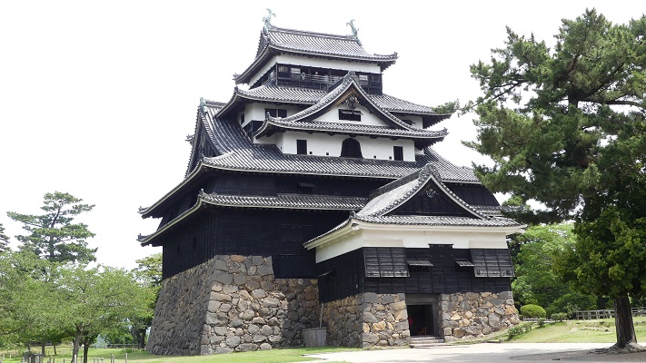
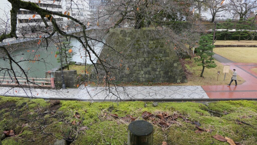
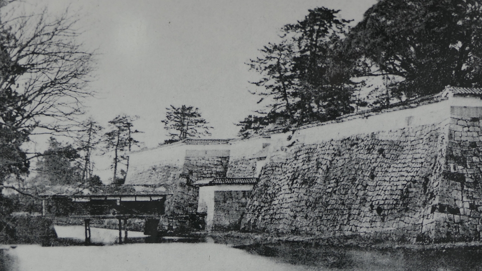
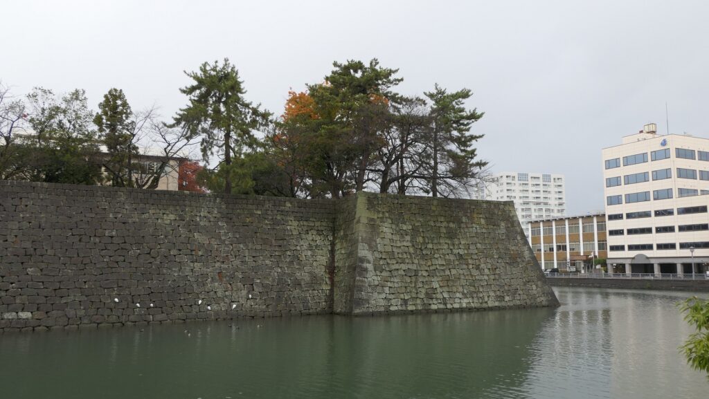
For example, you can see the great stone walls for the Tatsumi-Yagura Turret at the southeast corner of the Main Enclosure. It was a three-story turret which was considered the substitute for the Main Tower after the tower was burned. The Main Enclosure originally had the Main Tower or turrets for its four corners.
To be continued in “Fukui Castle Part3”
Back to “Fukui Castle Part1”