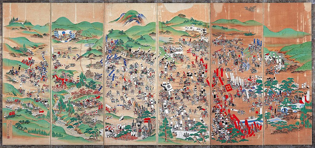
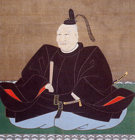
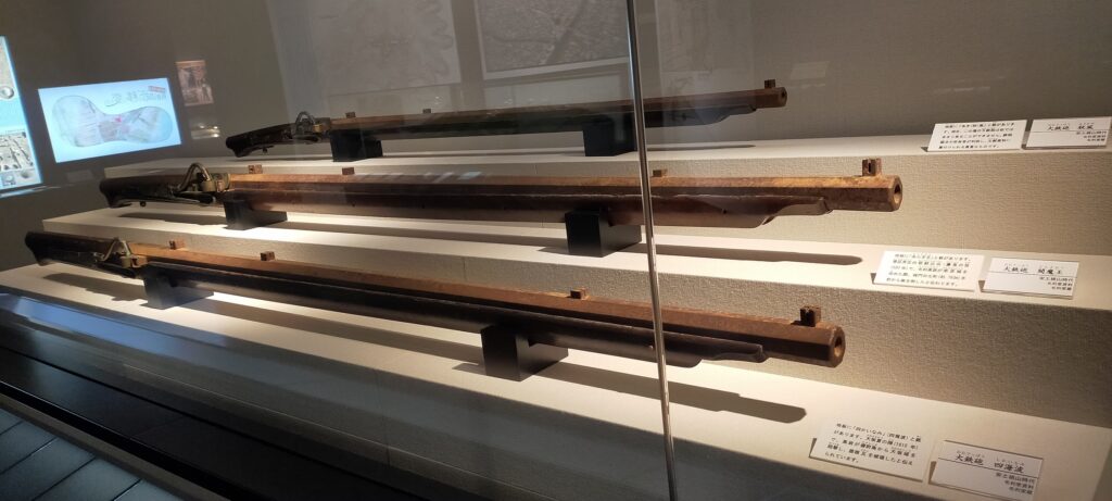
「関ヶ原合戦図屏風」、関ケ原町歴史民俗資料館蔵 (licensed under Public Domain via Wikimedia Commons)藤堂高虎肖像画、個人蔵 (licensed under Public Domain via Wikimedia Commons)毛利高政が使ったとされる大鉄砲、佐伯市歴史資料館にて展示
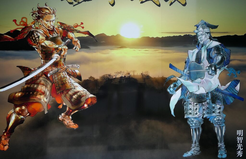
Kuroi Castle is a local hero, Naomasa Ogino’s castle. On the other hand, it is known for the activity of the nationwide hero, Mitsuhide Akechi as well.
Features
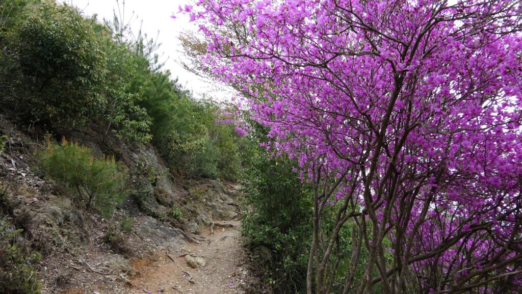
Arriving at Top
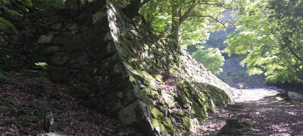
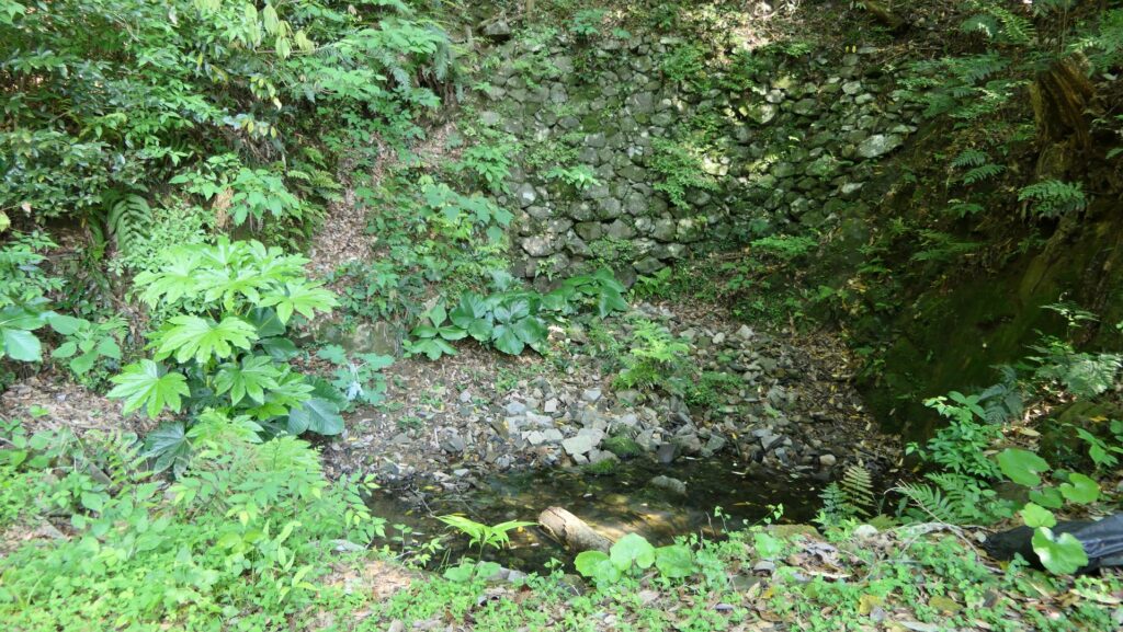
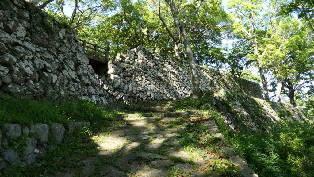
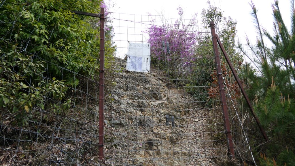
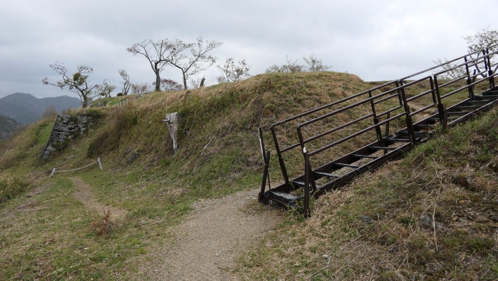
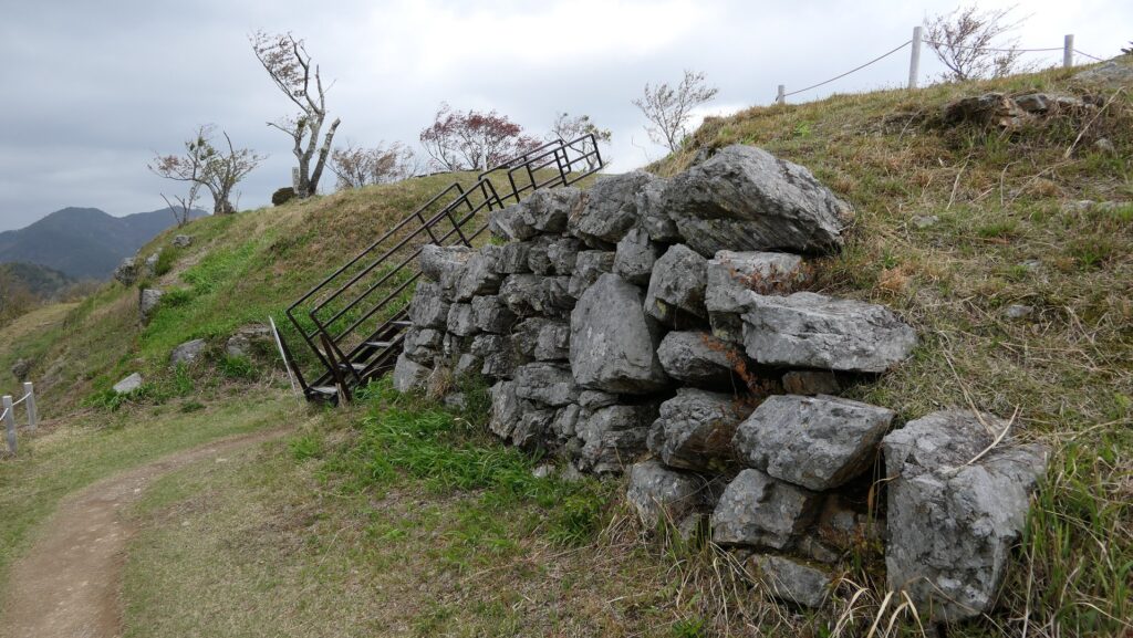
You will reach the top of the mountain with a little more climbing. After you pass the second wire gate, you will see a different appearance of the castle ruins from what you have seen so far. The enclosures on the top are all surrounded by stone walls which you can see from the foot as well. The difference came from the period each part was finally built. The part above the gate was completed by Mitsuhide Akechi or the later lords, while the part below the gate was left as it was after Naomasa Ogino built it. The gate was installed probably in order to protect the stone walls from being destroyed by animal invasion.
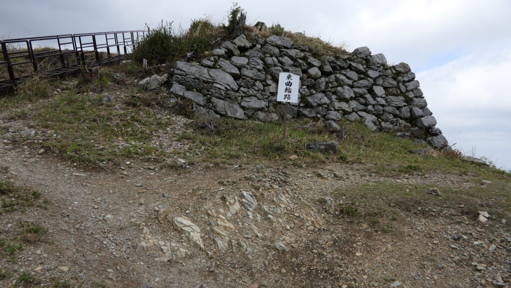
Arriving at the top soonThe second wire gateThe Eastern Enclosure in the front and the Third Enclosure in the back
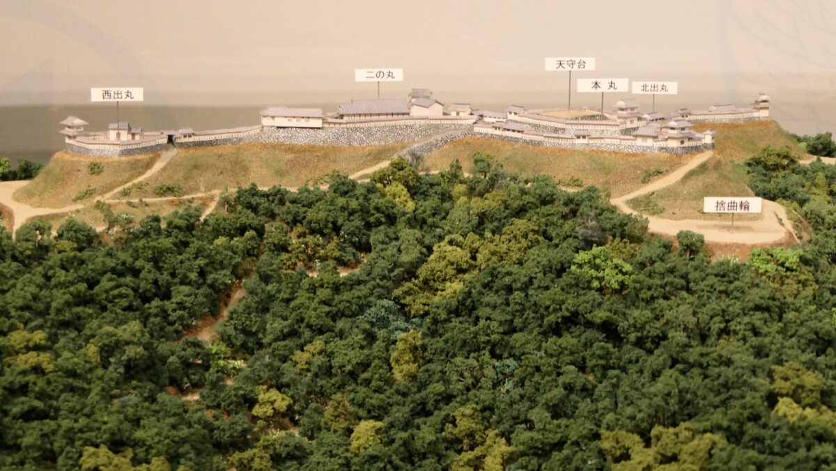
Three Enclosures on Top with Great Views
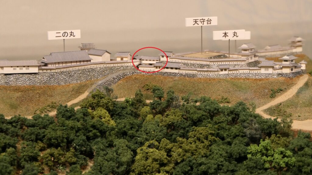
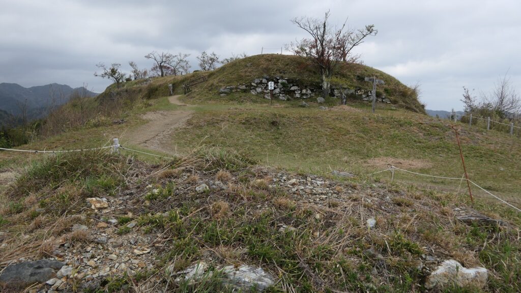
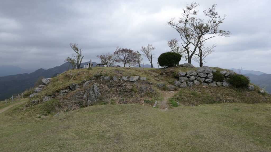
The layout of the top area is connected by three enclosures, the front Third, the central Second, and back Main Enclosures. They are surrounded by plain other enclosures, such as the Eastern Enclosure, and each has its own altered gate on their side. The stone walls use natural stones which were collected from neighboring places. Historians point out these features can be seen in other castles Nobunaga or his retainers built. They also say the stone walls of Kuroi Castle were built to show authority to the people.
The map arond the main portion of the castle
The Third Enclosure in the front and the Second Enclosure in the backThe entrance of the Second EnclosureLooking at the Third Enclosure from the Second EnclosureLooking at the Main Enclosure from the Second EnclosureThe entrance of the Main EnclosureThe inside of the Main Enclosure
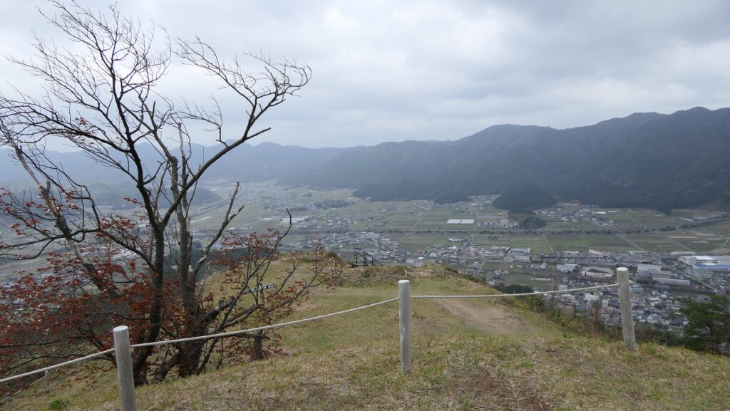
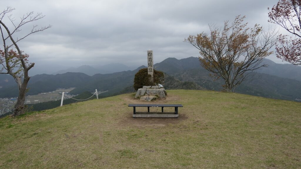
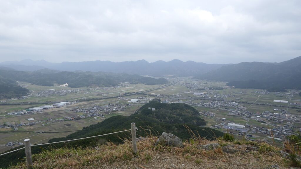
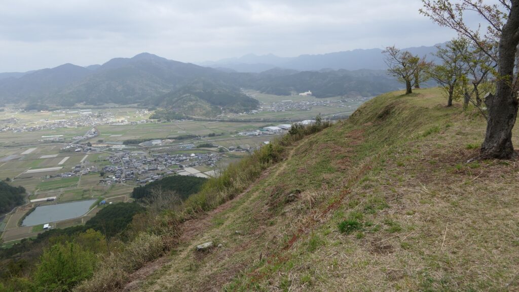
Finally, please enjoy a great panoramic view of the area around from the top. It’s worthwhile to climb over 200m from the foot of the mountain.
A view from the Third EnclosureA view from the Main Enclosure
Later History
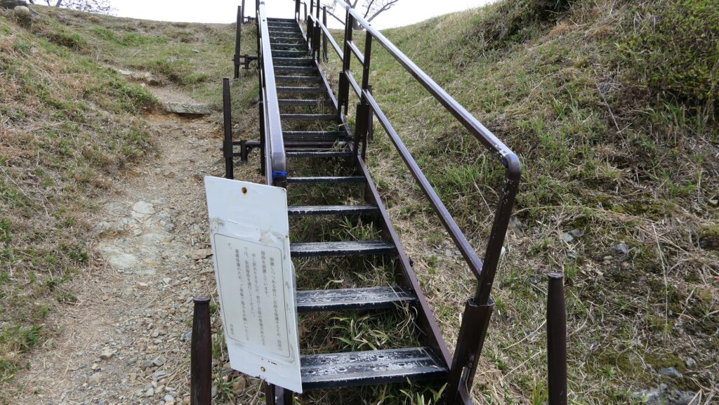
The ruins of Kuroi Castle were designated as a National Historic Site in 1989 while they have long been part of hiking courses on Inokuchi Mountain. Therefore, it needs to be established both how to preserve the ruins and how to use the courses. Tanba City made the basic plan for the development of the Kuroi Castle Ruins in 2018. It installed an aluminum stairways into the stone wall gates on the top to preserve it based on the plan. However, some hikers argued that the stairways spoiled the scenery. As a result, the city painted the stairways brown in response. The controversial discussion will continue.
The brown-painted stairway at the Second Enclosure
My Impression
I met a person who said he climbs the mountain to the castle ruins on the top every day, wearing a T-shirt of Naomasa Akai (Ogino). I thought that Kuroi Castle is his local hero, Naomasa’s castle. On the other hand, officials also feature Mitsuhide Akechi who took the castle away from Nomasa’s successor and probably built its stone walls. The castle is known for the activity of the nationwide hero as well. The appearance of the castle ruins actually indicate the two periods, which is a great legacy of the Japanese history. I would like to visit other forts Naomasa built next time, which I didn’t visit on my first visit.
The illustration of Naomasa Ogino on the left and Mitsuhide Akechi on the right, exhibited by the rest house at the foot of the mountain