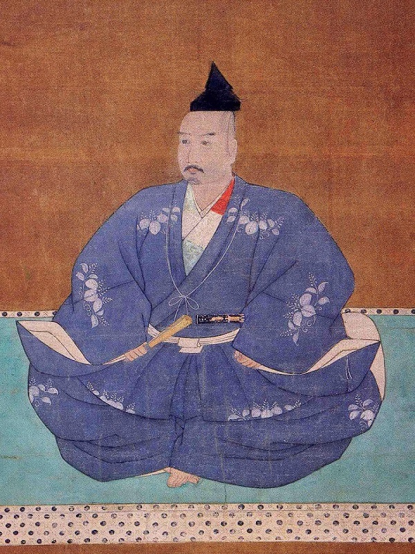
Now, the trails at the ruins of Imori Castle have become very popular for hiking. There are several trails to choose from when you visit the ruins. I will describe one of the trails from JR Shijonawate Station via Shijonawate Shrine. The shrine is dedicated to Masatsura Kusunoki, a warrior in the 14th Century during Northern and Southern dynasties. He was the son of Masasige Kusunoki. He supported the Southern dynasty and was beaten in the battle of Shijonawate in 1348 by the troop of the Ashikaga Shogunate. Ashikaga Shogunate supported the Northern dynasty which used their position at Imori-yama Mountain to defeat Masatsura.
The aerial photo around the castle
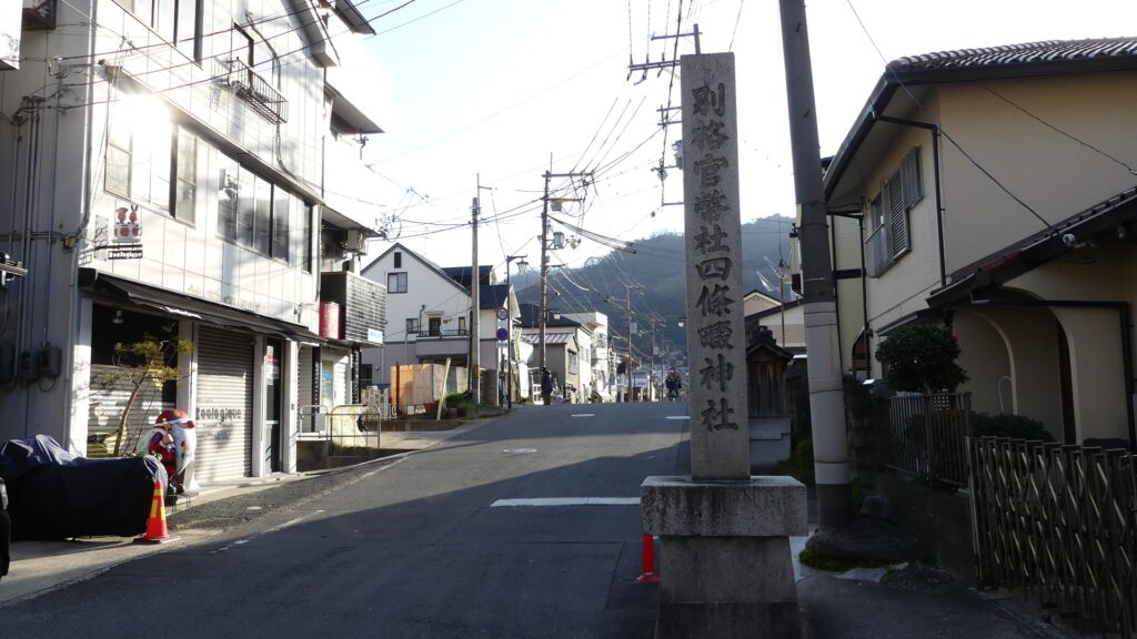
The approach to Shijonawate ShrineShijonawate Shrine
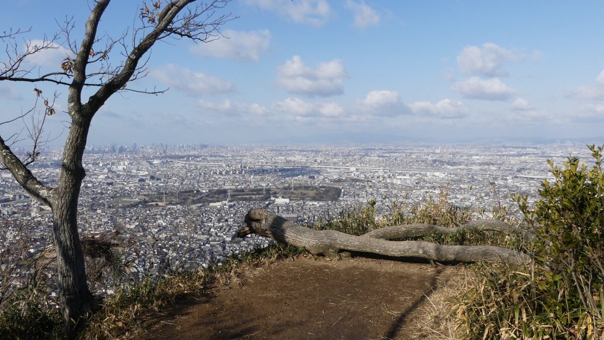
Northern Enclosures and Great Wide View
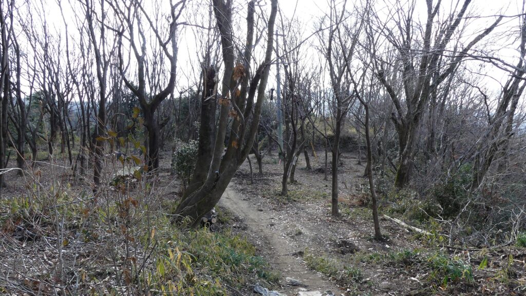
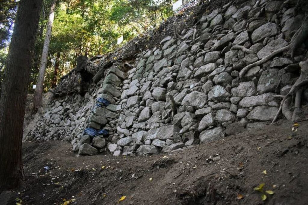
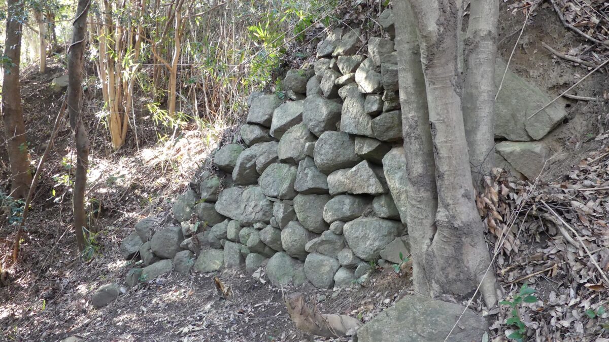
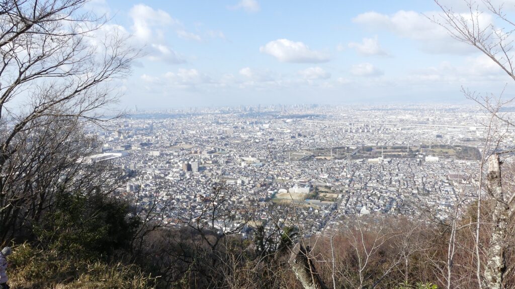
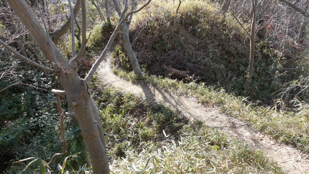
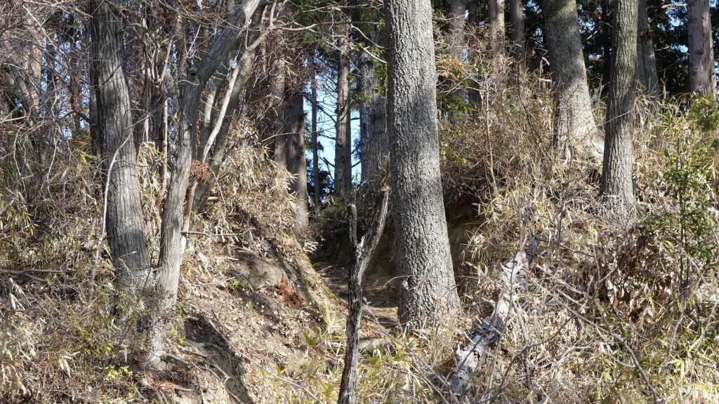
The trail behind the shrine is very long and steep. You need to climb nearly 300m up the mountain. All the trails are on the western side of the mountain, so you won’t see any of the stone walls until you get to the top of the mountain. At the top of the slope, you will reach the northern part of the castle. This part is narrow, and there are several small enclosures. You will suddenly see a great city-wide view of Kyoto and Osaka. You can also see some of the remaining stone walls on the eastern side of the mountain. However, you can’t go below the stone walls because the trails on that side are abandoned and dangerous. There is also the burial mound for Nagayoshi Miyoshi called Gotaizuka around there.
The trail to the topA view from the northern enclosuresThe remaining stone walls of the northern enclosures
Southern Enclosures – Main and Senjojiki Enclosures
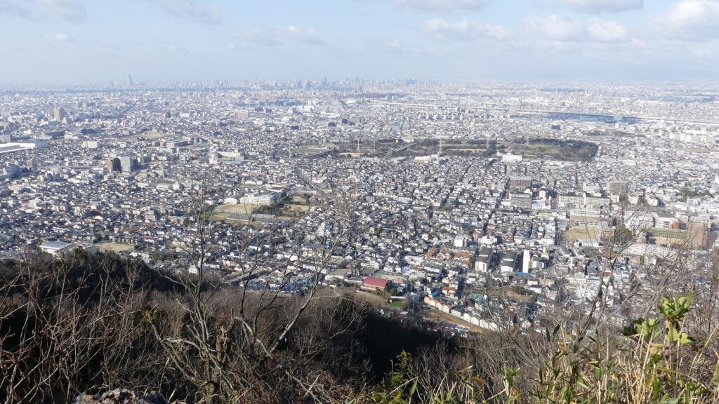
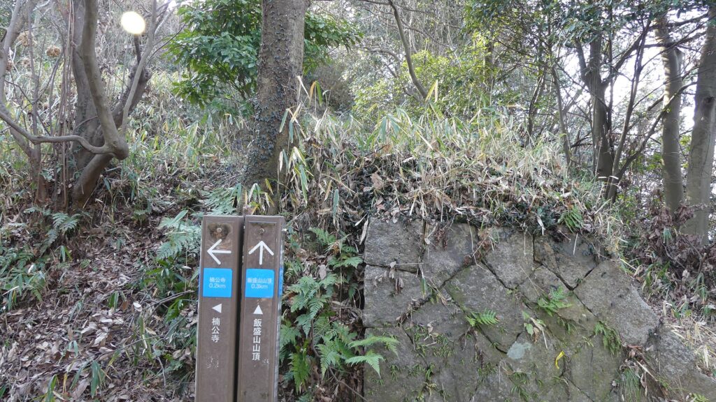
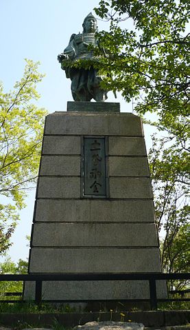
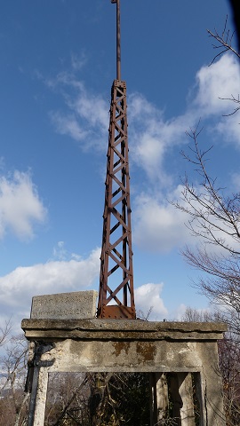
As you go on the trail to the south, it is divided into two branches at the entrance of the southern part. The one on the right is for the Main Enclosure on the top of the mountain. There are several attractions for hikers on the top such as the observation platform, the statue of Masatsura, the ruins of the stand for hoisting the national flag before World War II, and the signpost of the castle. You can also see a great view again of Osaka Plain on the west. If you go on the other branch on the left, you can see a lot of stone walls on the eastern side of the Main Enclosure. New discoveries about the stone walls were recently found one after another.
The branch point of the trailThe statue of Masatsura Kusunoki (licensed by ブレイズマン via Wikimedia Commons)The ruins of the stand for hoisting the national flagA view of Osaka Plain from the Main EnclosureThe remaining stone walls at the eastern side of the Main Enclosure (quoted from the Daito City Website)
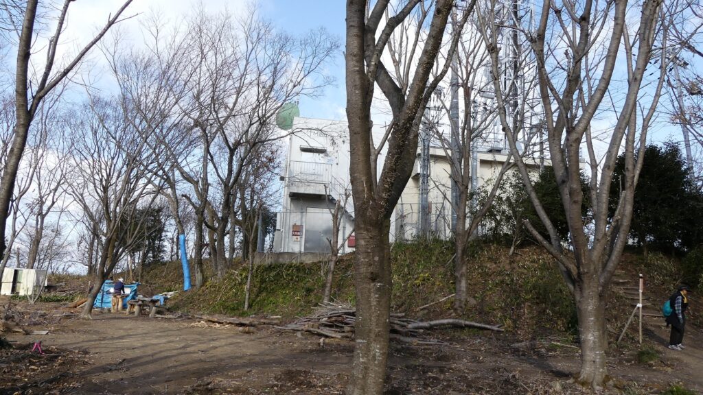
On the south of the Main Enclosure, there is the largest enclosure in the castle, called Senjojiki, which means a hall of 1,000 mats. It is thought that it had the Main Hall for Nagayoshi, and now has a transmitting tower. The enclosure was guarded by the narrow earthen bridge on the north and the entrance with stone walls on the south. You can see both of these ruins onsite.
The Senjojiki Enclosure with the transmitting towerThe earthen bridge in the north of the enclosureThe ruins of the entrance in the south of the enclosure