Features
Features of Miharu Town
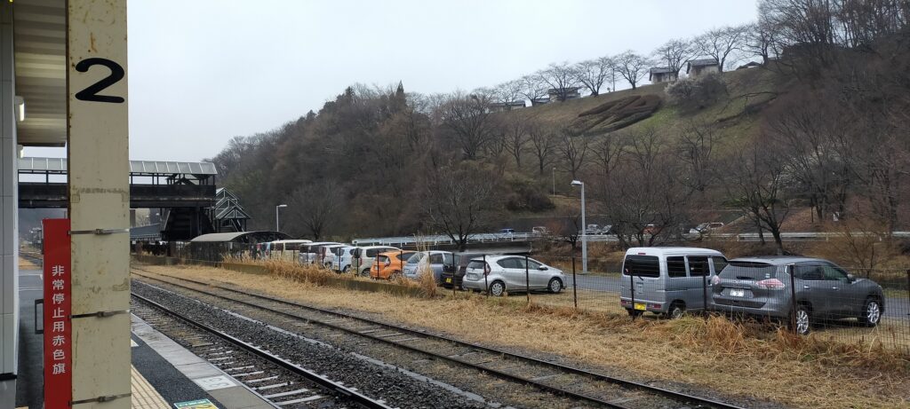
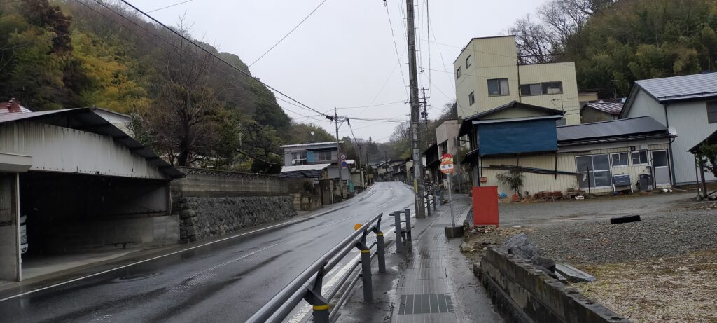
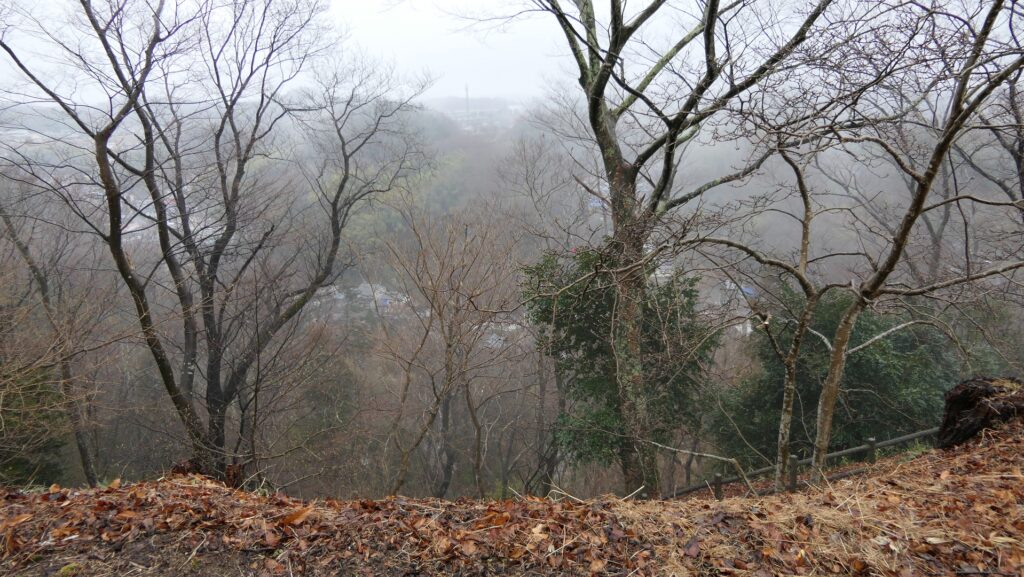
If you visit the ruins of Miharu Castle today by train, you will find JR Miharu Station to be the nearest station from the castle, being at the bottom of the valley surrounded by the hills. In this area, the roads, train lines and rivers go through the valleys. Currently you will see many large official facilities and even some farmlands are on the hills. They have the distinct feature of the area. Similarly, we can easily speculate that people of this area in the past would have had access to this unique terrain which were important facilities for a castle.
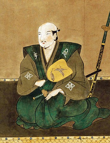
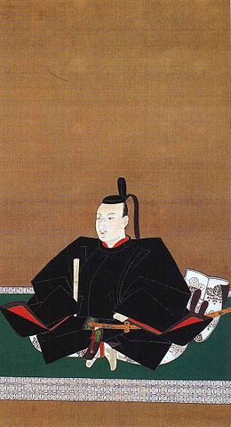
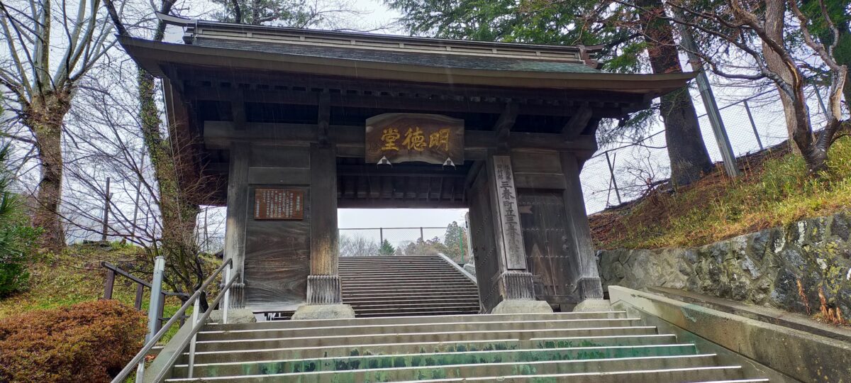
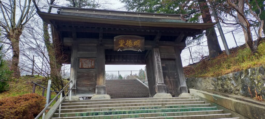
The center of Miharu Town originates from the castle town of Miharu Castle. It was divided into 2 sections – the southern town and northern town. The route through the town has a 90 degree angle connecting the southern and northern parts. In the Southern Town, currently you can only see the remaining gate for the Miharu Domain school and the Miharu Primary School standing there. In the past, you would be able to see the Main Gate of the Castle and the Main Hall for the lord at the foot of the mountain.
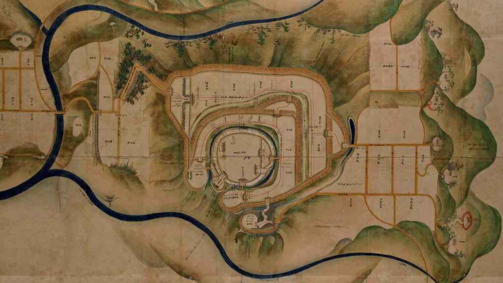
The map around the castle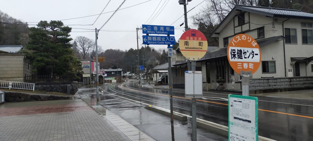
Route from Southern town
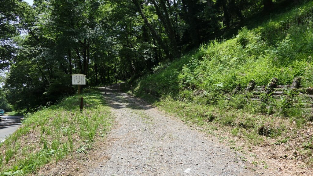
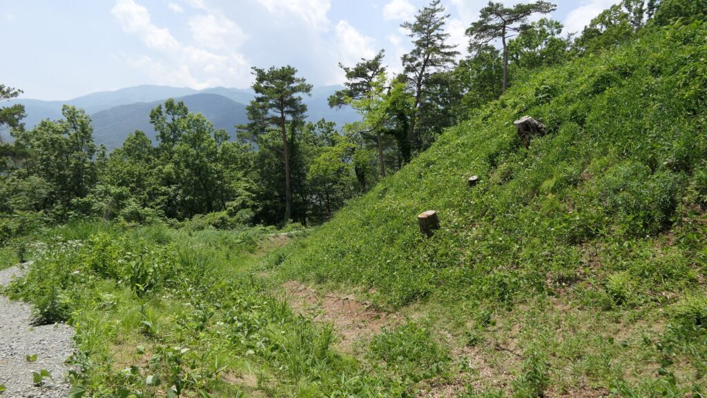
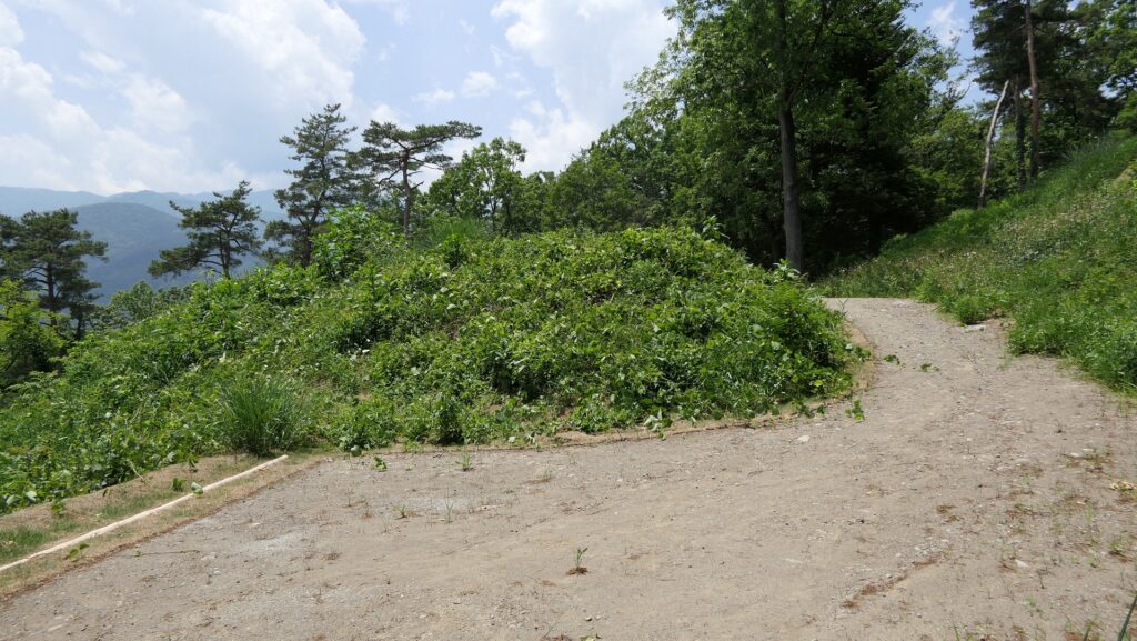
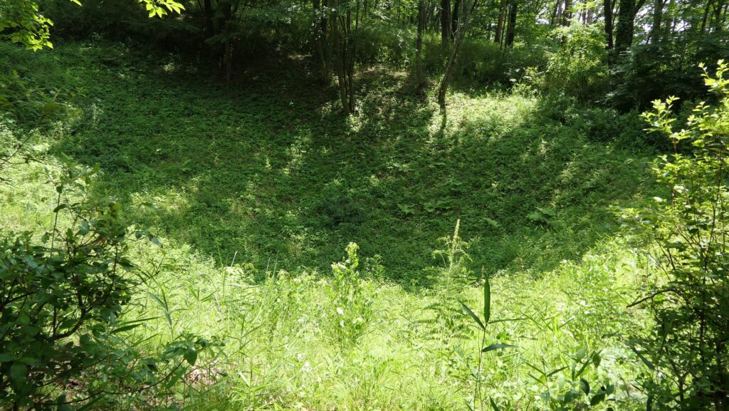
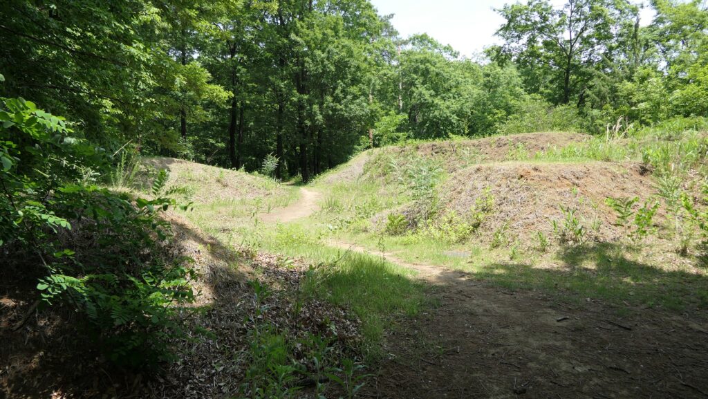
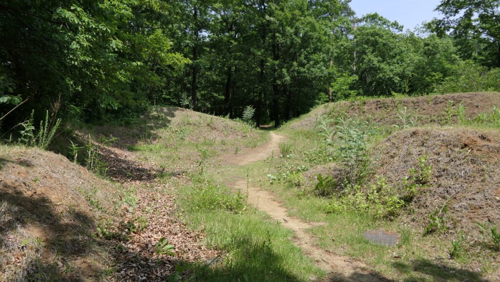
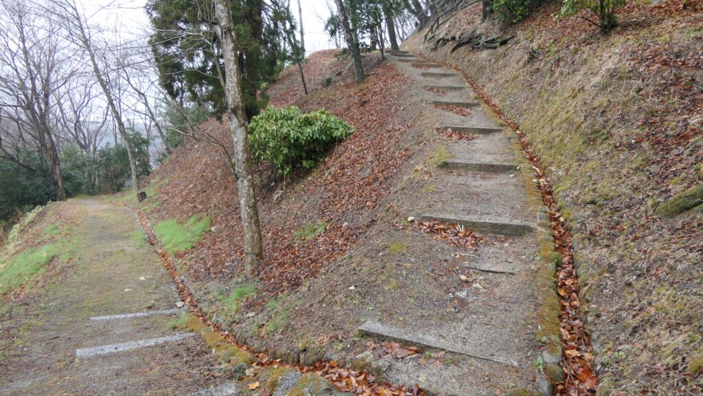
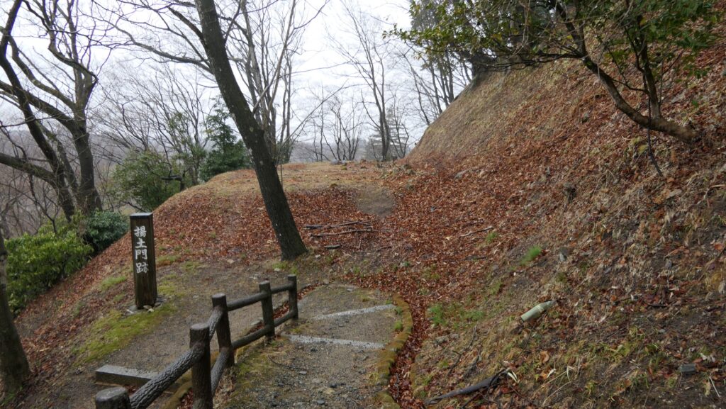
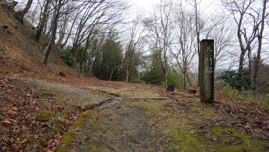
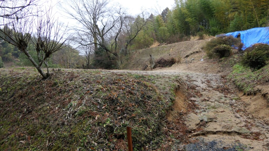
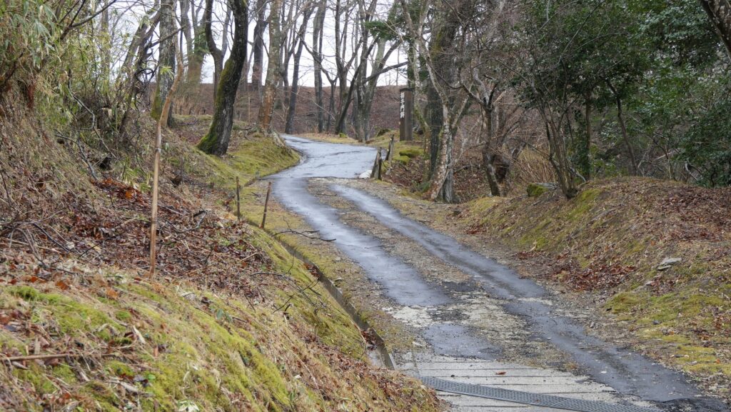
You can now access the ruins of Miharu Castle by climbing up the Castle Slope which is another route to the front of the castle. There, you will see several enclosures along the slope with some of them being used as modern residential area. In order to reach the top of the mountain, you will have to go up on a zigzagged trail. At the peaks of the trail, you will see the gate ruins such as the Second Gate, the Agetsuchi Gate and the Third Gate. This would have been the defense system of the castle. You will soon reach the entrance of the lower tier of the Main Enclosure at the top where the Large Gate once stood. You can only see the stone foundations of the gate from here.
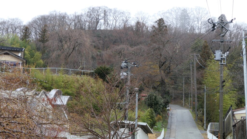
Route from Northern town
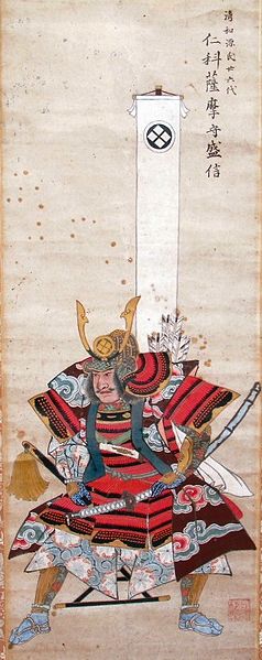
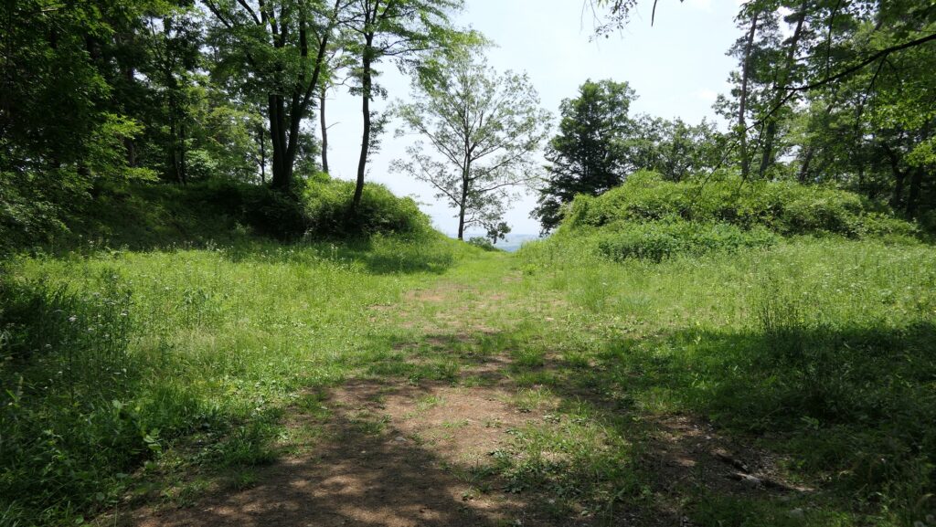
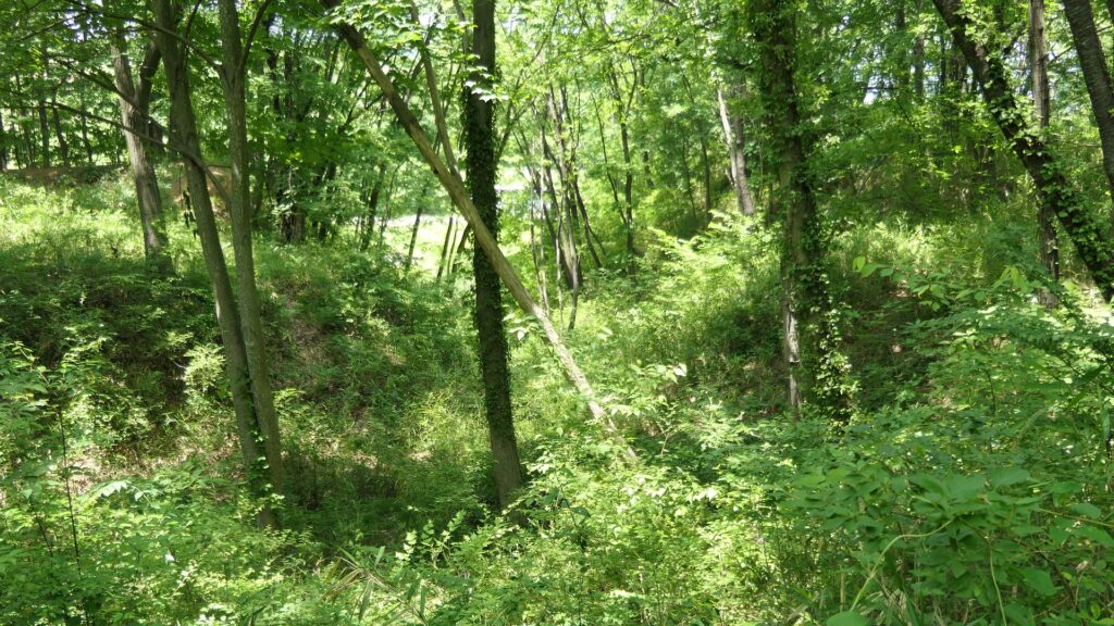
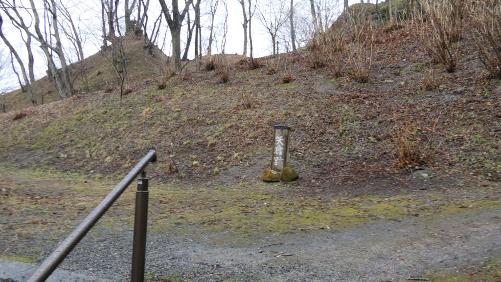
The Northern Town has a Back Route to the top of the mountain called the Sanbu-zaka Slope. The trail also zigzaggs along with a lot of empty enclosures which shows the long history of the castle. There, you will see the ruins of the Back Entrance, the ruins of the Turret and the few remaining stone walls which the Gamo Clan built before reaching the other entrance of the lower tier of the Main Enclosure. This is where the Back Gate would had been in the past.
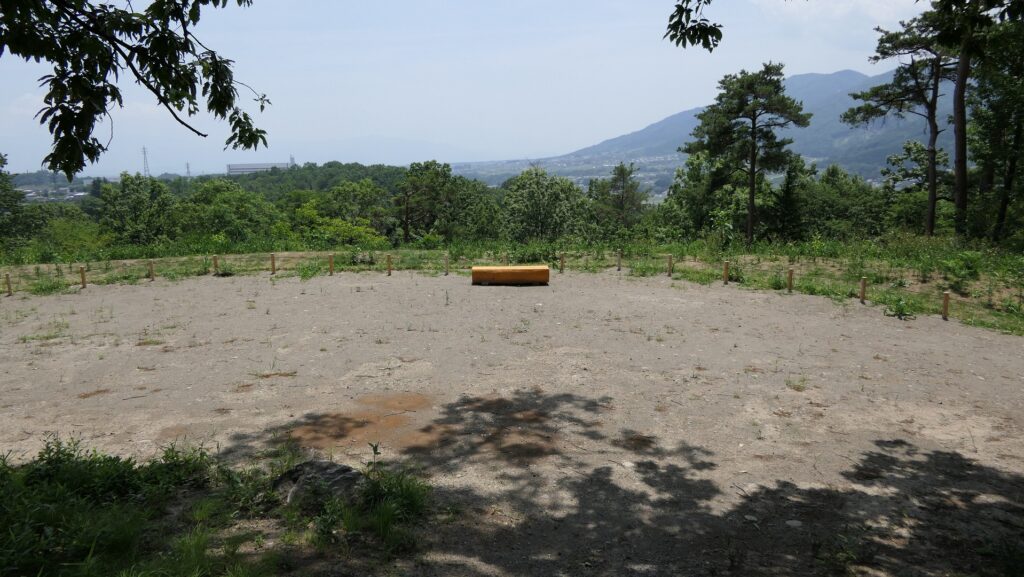
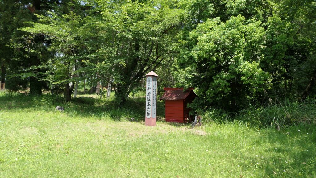
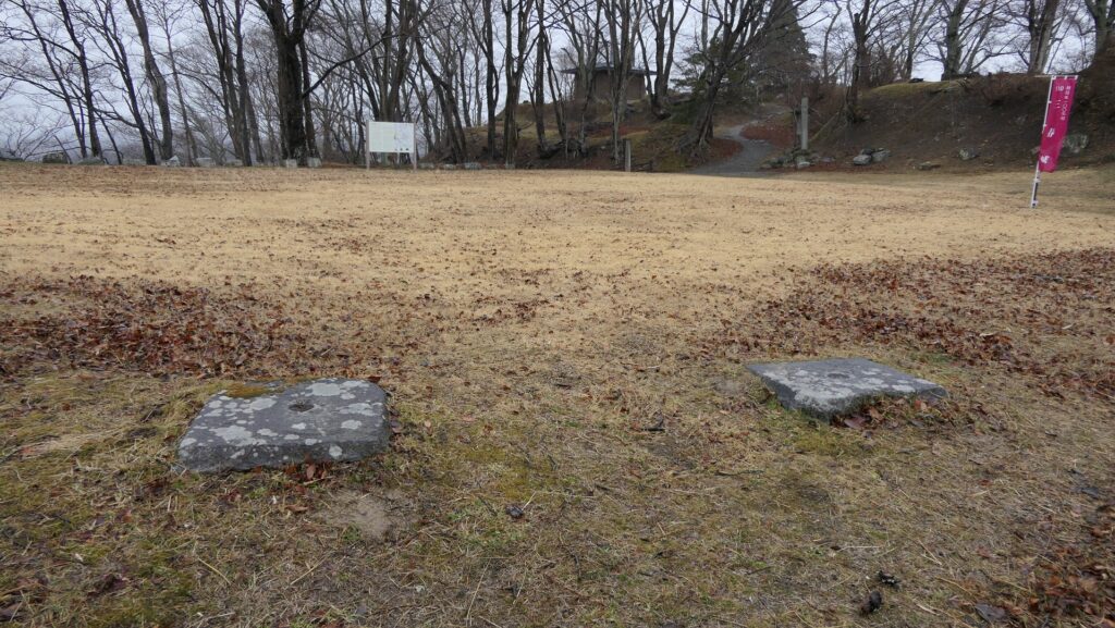
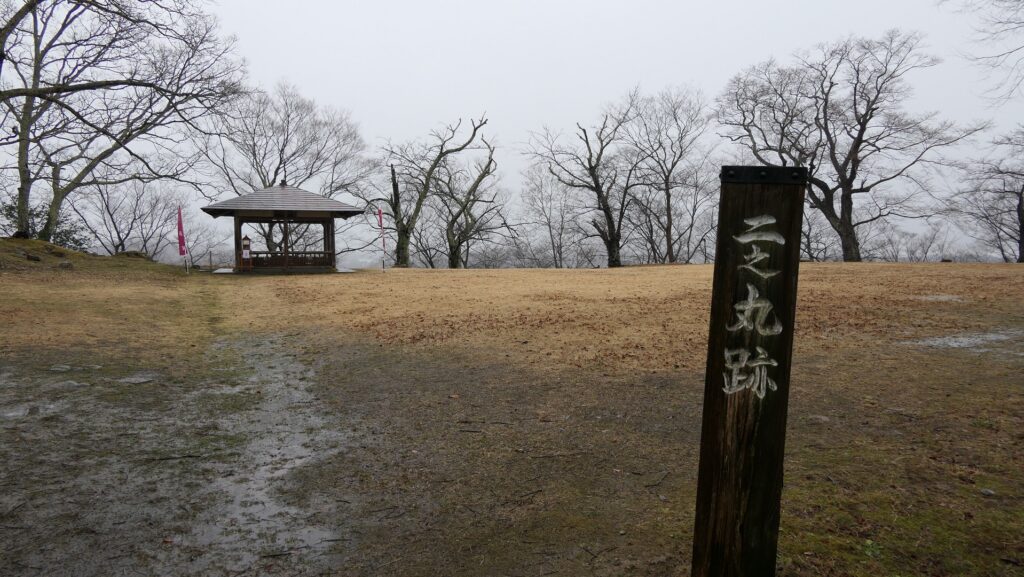
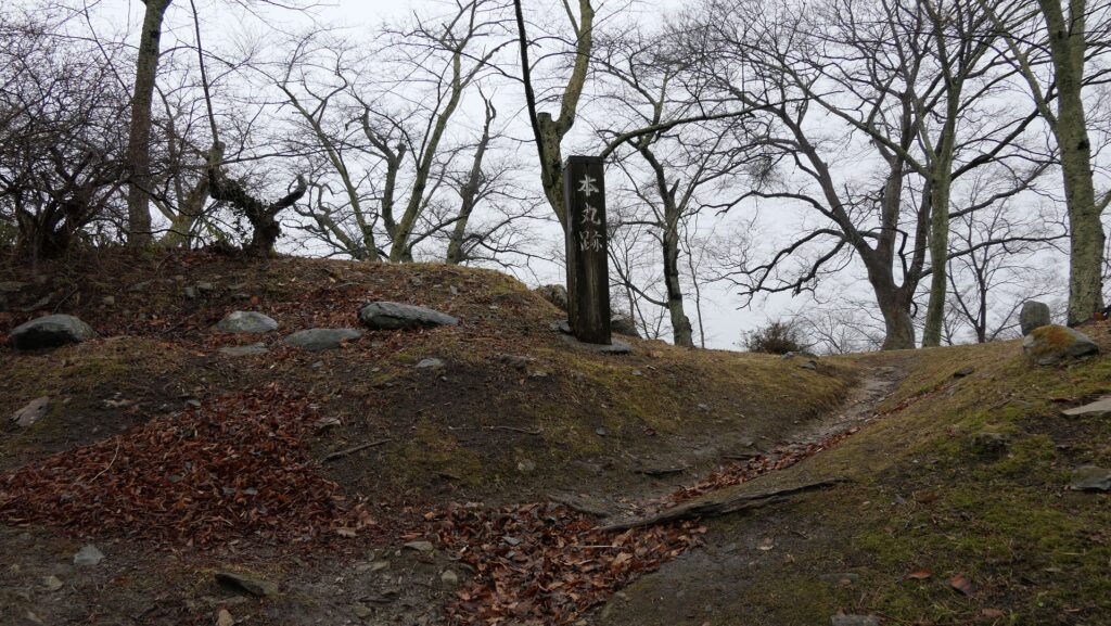
Main Enclosure with Shrine and lots of Trees
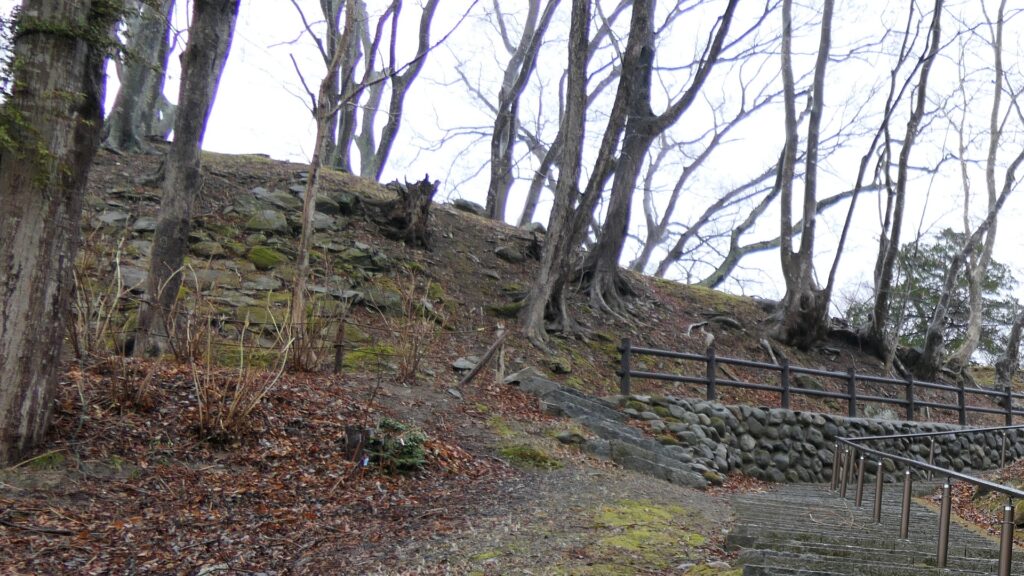
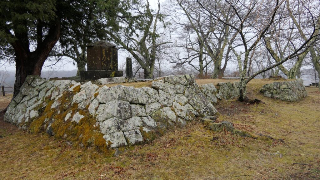
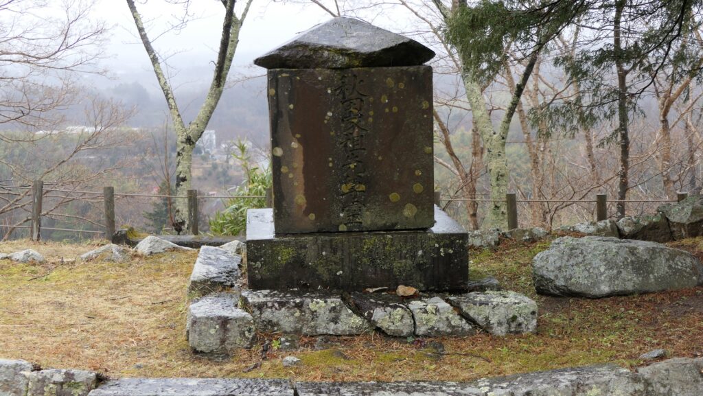
The lower tier is an open square now, but the Three Story Turret stood out in the past. The upper tier of the Main Enclosure is next to the lower tier. It is mostly empty now because of the great fire that happened in the Edo Period. You can only see the shrine which worships the Akita Clan at the stone wall foundation. However I can not be certain if the stone walls are from the original castle. There, You will see a view of the other hills around overlooking the castle town. Lots of trees have been planted around the enclosure as a park attraction. Therefore this view is very beautiful during the spring and autumn seasons .
To be continued in “Miharu Castle Part3”
Back to “Miharu Castle Part1”