121.Motosakura Castle Part1

The castle of the Chiba Clan, an illustrious clan in Kanto Region

Location and History

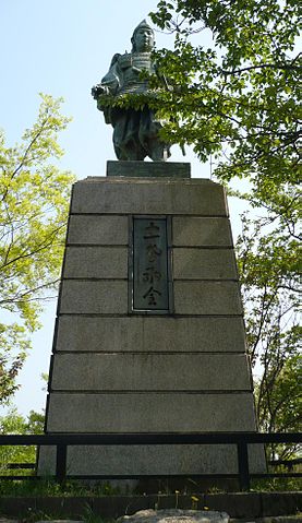
Chiba Clan built it in 15th Century

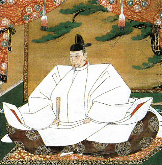
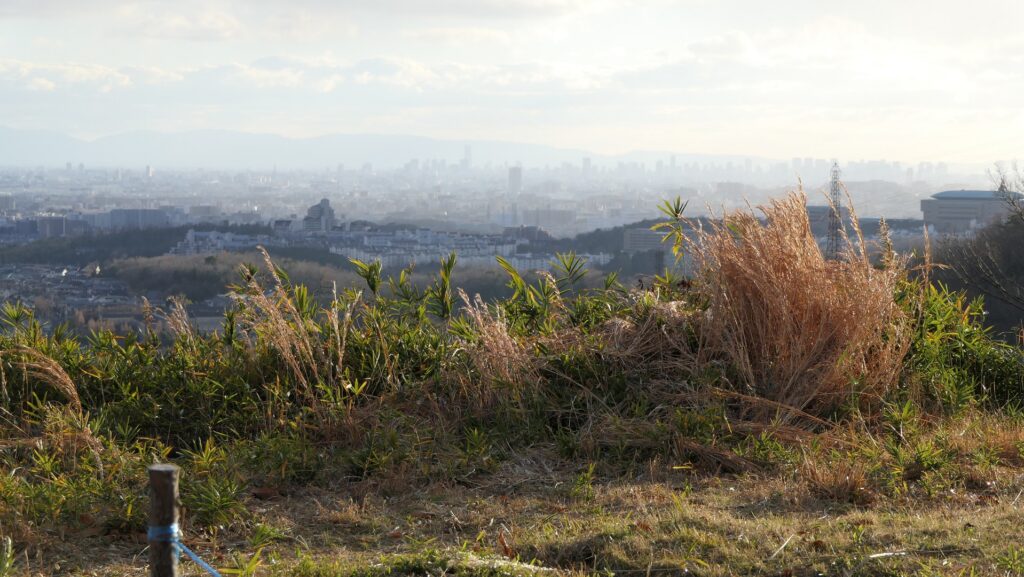
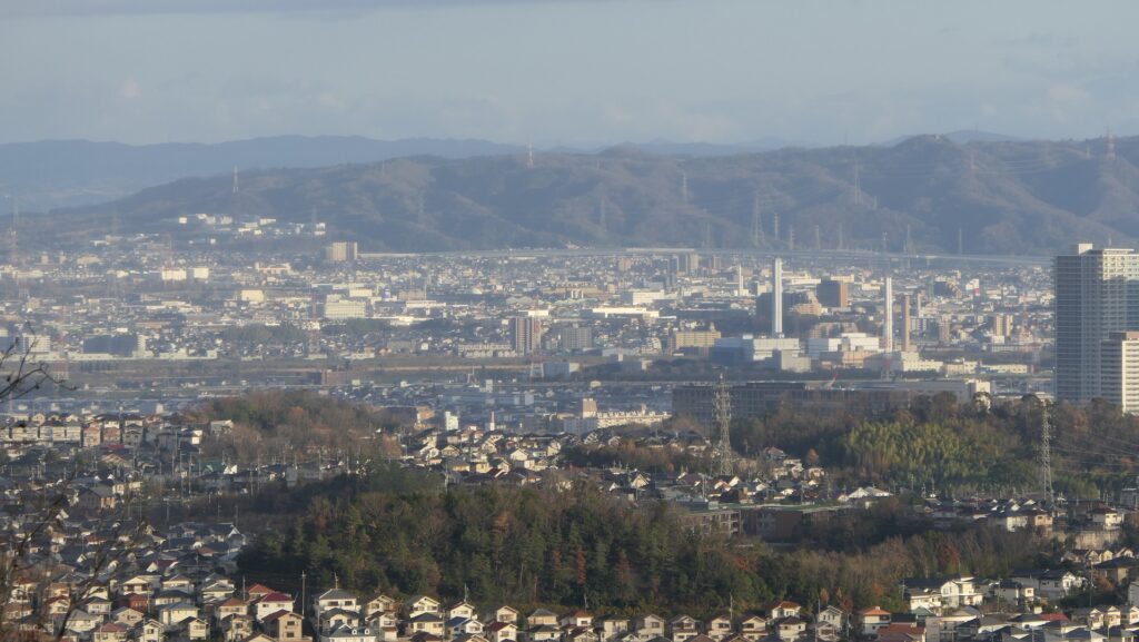
Motosakura Castle was a large castle which was located in Shimosa Province (what is now the northern part of Chiba Prefecture). A warlord, Suketane from the Chiba Clan, first built the castle at latest in 1484 on a hilly area called Masakado-yama. The area was surrounded by Inba-numa Lake, and only open to the Shimosa Road on flat land in the southern direction. This meant the area was defensive and convenient for water and land transport.

Marker
Motosakura Castle
Leaflet|農研機構
The map around the castle in the early Meiji Era, Inba-numa Lake was still near the castle

The Chiba Clan’s family crest, Gessei or Moon and Star (licensed by Los688 via Wikimedia Commons)

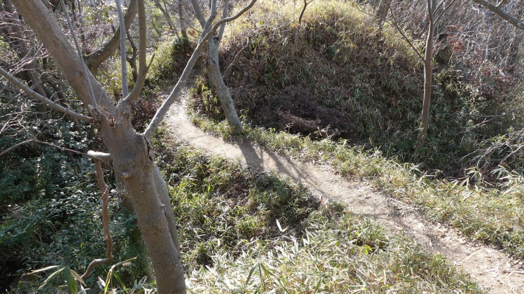
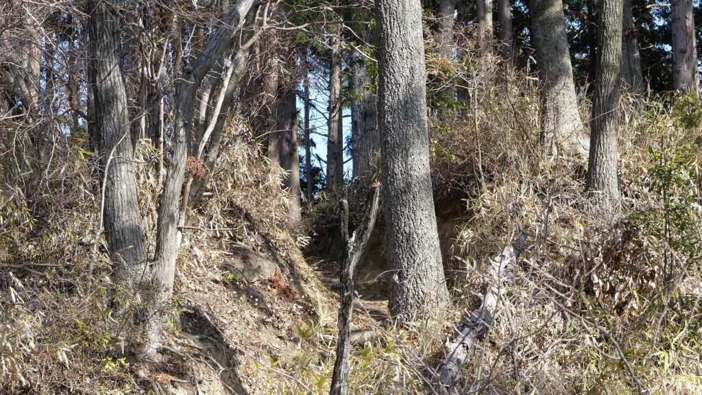
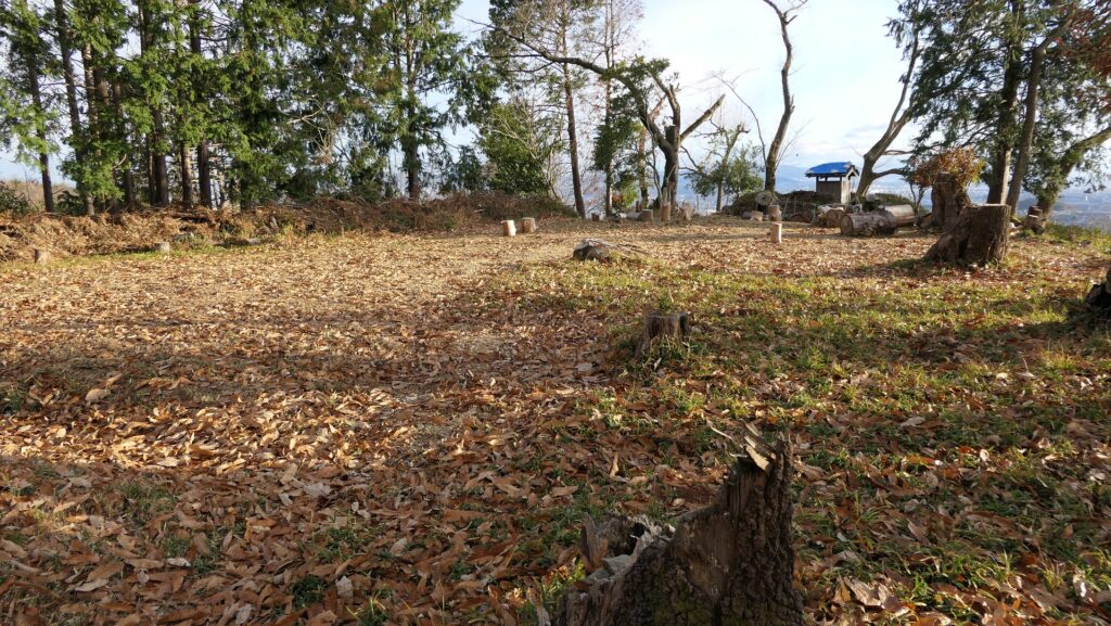
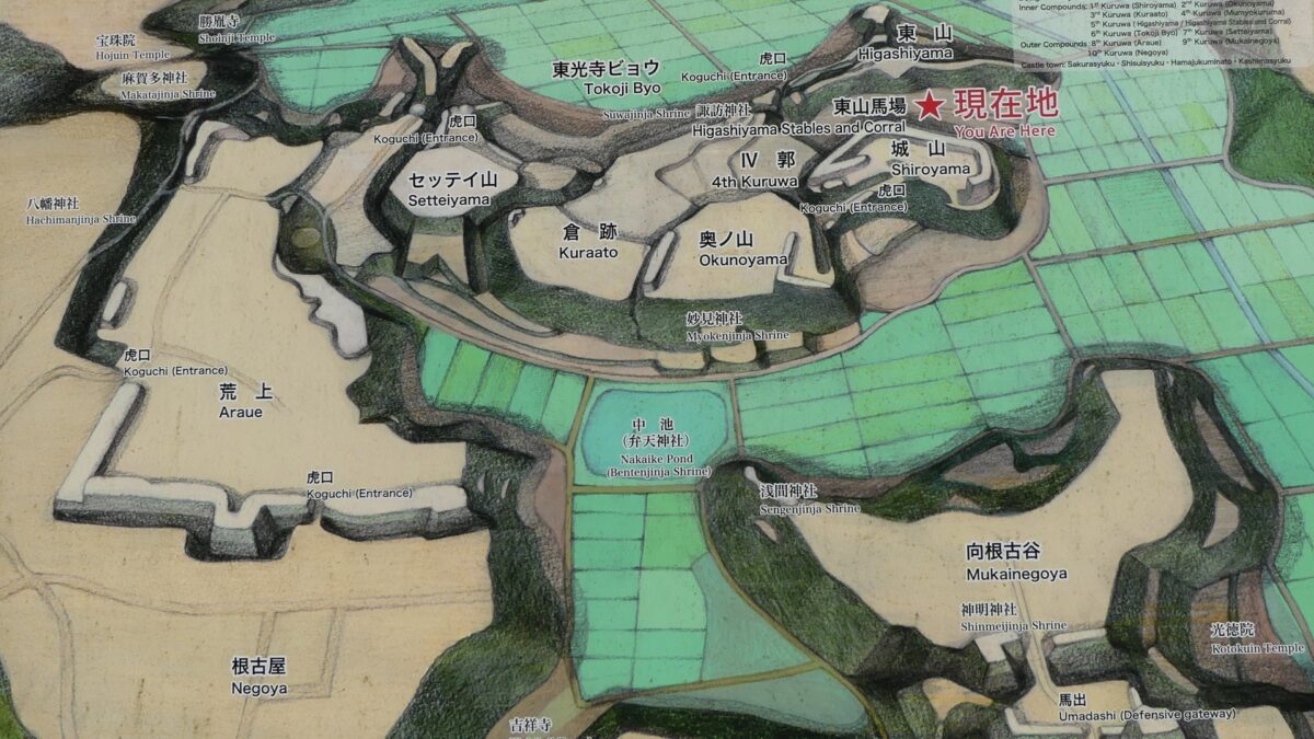
Central portion, Inner Compounds.

When the castle was first built, the warlords in the Kanto Region were split into two groups, the western group and the eastern group. The western group was led by the shogunal deputy for the Kanto Region, the Uesugi Clan, and the eastern group was led by the head of the Kanto government in Koga, the Ashikaga Clan. The Chiba Clan was included in the eastern group and the Motosakura Castle was also an important site which connected Koga in Shimosa Province to the other provinces in Boso Peninsula inside the group. The clan built several enclosures in the central portion of the castle called the Inner Compounds.
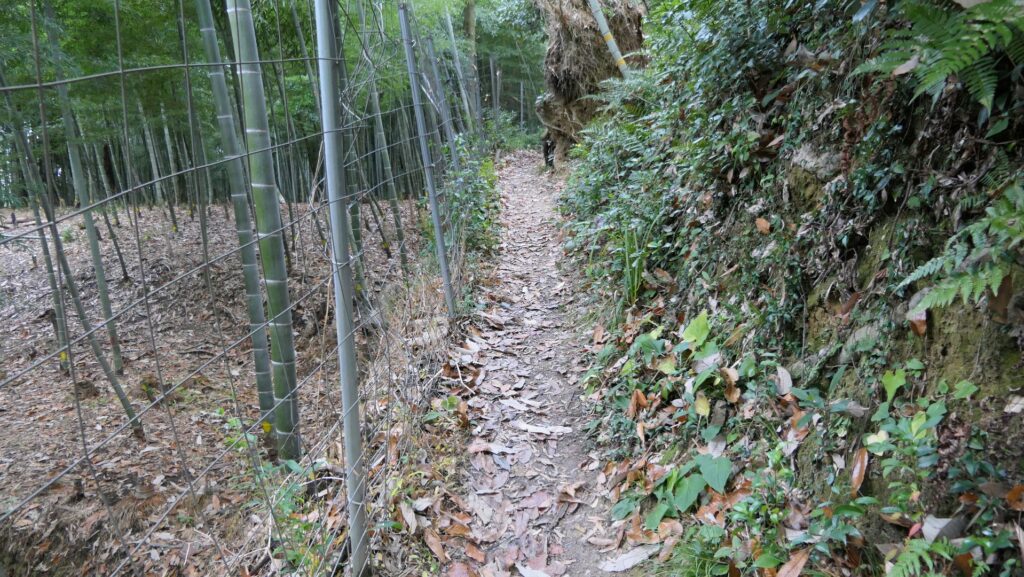
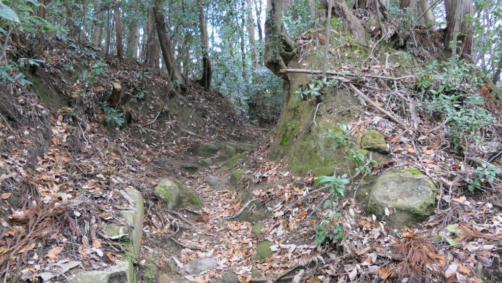
MarkerMarker
Motosakura Castle
Leaflet, © OpenStreetMap contributors
The location of the castle

The Main Enclosure called Shiro-yama had the Main Hall for the lord of the castle. The hall had a set of two formal buildings called Shuden and Kaisho, because the clan was the governor of the province. The Okuno-yama enclosure, which had the Myoken Shrine where the clan went for worship, is next to the main enclosure on the west. The Okuno-yama enclosure was connected to the Main Enclosure by a wooden bridge . The next one is the Kura-ato Enclosure which had warehouses. The westmost one is the Settei-yama Enclosure which was used for guesthouses. In addition to these enclosures, the Higashi-yama Enclosure was set to protect them, and the Tokoji-byo Enclosure, which had temples, faced Inba-numa Lake.

The enclosures of the Inner Compound (from the signboard at the site)

Outer Compounds were built against Satomi Clan

In the middle of the 16th Century, the situation of the Kanto Region changed. The Hojo Clan captured most of the region, then the Chiba Clan decided to support Hojo by adopting a son from them. However, the Satomi Clan in Boso Peninsula (the south of Honsakura Castle) was against Hojo. As a result, the Chiba Clan had to reinforce the defense of the castle on the south.

MarkerMarker
The home base of the Satomi Clan, Kururi Castle
Leaflet, © OpenStreetMap contributors
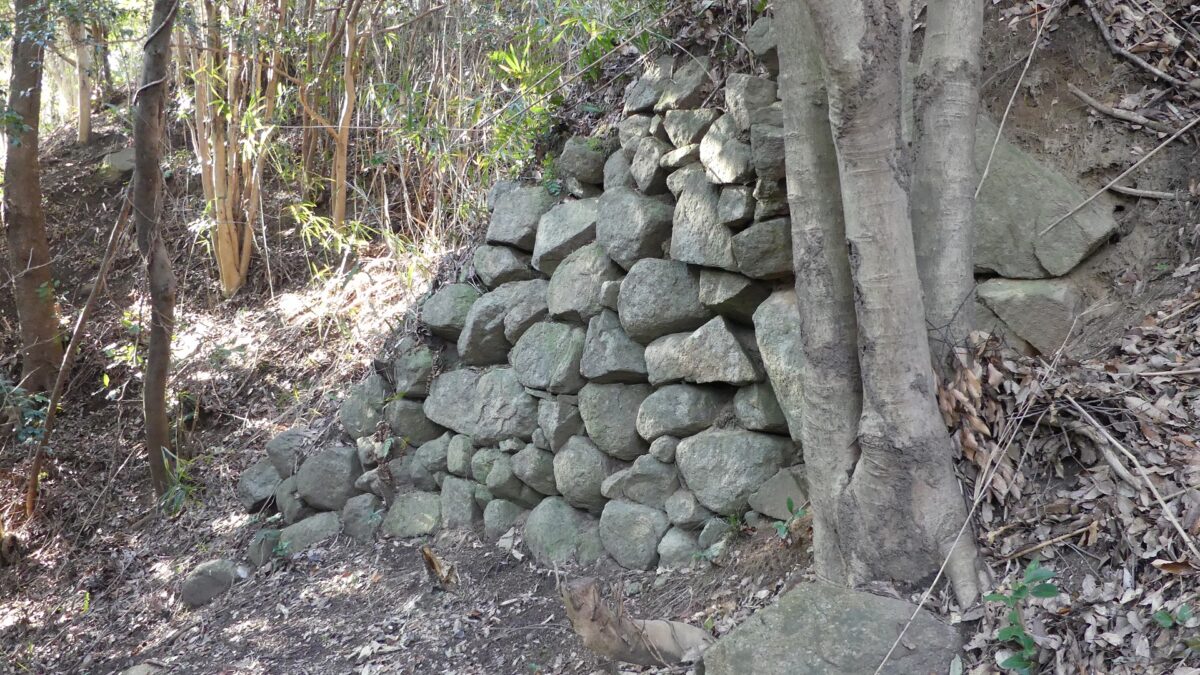
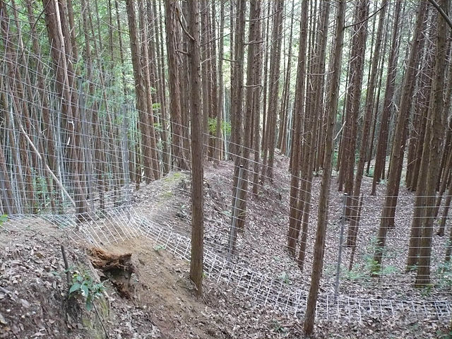
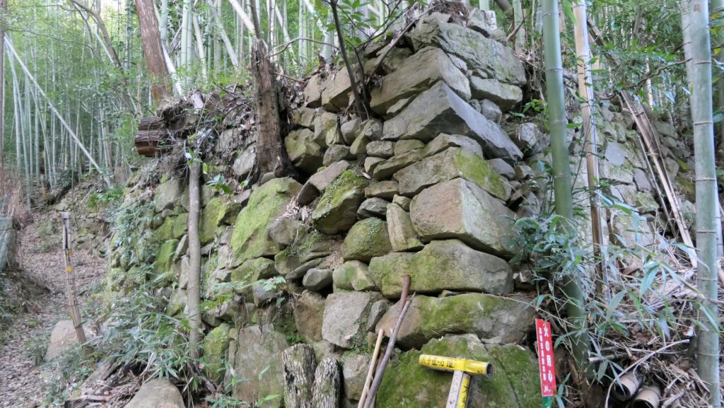
The location of Motosakura Castle and the home base of the Satomi Clan

The clan built large enclosures outside the Inner Compounds, called the Outer Compounds such as Araue, Negoya, and Mukai-Negoya. They were surrounded by thick earthen walls and had the sticking out defensive positions called Umadashi, which were built using Hojo’s techniques. In addition, the Settai-yama Enclosure became the pivot of the defense because it was the connecting point between the Inner Compounds and the Outer Compounds. The range of the castle finally reached 39,000 square meters.

The whole image of the castle including the Outer Compound (from the signboard at the site)

However, The Chiba Clan was fired by the ruler Hieyoshi Toyotomi in 1590, as their master Hojo Clan was also defeated by Hideyoshi. After that, Motosakura Castle was sometimes used by several clans. The castle was finally abandoned in 1615.

The Portrait of Hideyoshi Toyotomi, attributed to Mitsunobu Kano, ownd by Kodaiji Temple (licensed under Public Domain via Wikimedia Commons)

To be continued in “Motosakura Castle Part2”

160.Imori Castle Part2

This castle was covered with stone walls.

Features

Trail from Shijonawate Shrine

Now, the trails at the ruins of Imori Castle have become very popular for hiking. There are several trails to choose from when you visit the ruins. I will describe one of the trails from JR Shijonawate Station via Shijonawate Shrine. The shrine is dedicated to Masatsura Kusunoki, a warrior in the 14th Century during Northern and Southern dynasties. He was the son of Masasige Kusunoki. He supported the Southern dynasty and was beaten in the battle of Shijonawate in 1348 by the troop of the Ashikaga Shogunate. Ashikaga Shogunate supported the Northern dynasty which used their position at Imori-yama Mountain to defeat Masatsura.

MarkerMarkerMarker
Shijonawate Station
Leaflet|国土地理院
The aerial photo around the castle

The approach to Shijonawate Shrine
Shijonawate Shrine

Northern Enclosures and Great Wide View

The trail behind the shrine is very long and steep. You need to climb nearly 300m up the mountain. All the trails are on the western side of the mountain, so you won’t see any of the stone walls until you get to the top of the mountain. At the top of the slope, you will reach the northern part of the castle. This part is narrow, and there are several small enclosures. You will suddenly see a great city-wide view of Kyoto and Osaka. You can also see some of the remaining stone walls on the eastern side of the mountain. However, you can’t go below the stone walls because the trails on that side are abandoned and dangerous. There is also the burial mound for Nagayoshi Miyoshi called Gotaizuka around there.

The trail to the top
A view from the northern enclosures
The remaining stone walls of the northern enclosures

Southern Enclosures – Main and Senjojiki Enclosures

As you go on the trail to the south, it is divided into two branches at the entrance of the southern part. The one on the right is for the Main Enclosure on the top of the mountain. There are several attractions for hikers on the top such as the observation platform, the statue of Masatsura, the ruins of the stand for hoisting the national flag before World War II, and the signpost of the castle. You can also see a great view again of Osaka Plain on the west. If you go on the other branch on the left, you can see a lot of stone walls on the eastern side of the Main Enclosure. New discoveries about the stone walls were recently found one after another.

The branch point of the trail
The statue of Masatsura Kusunoki (licensed by ブレイズマン via Wikimedia Commons)
The ruins of the stand for hoisting the national flag
A view of Osaka Plain from the Main Enclosure
The remaining stone walls at the eastern side of the Main Enclosure (quoted from the Daito City Website)

On the south of the Main Enclosure, there is the largest enclosure in the castle, called Senjojiki, which means a hall of 1,000 mats. It is thought that it had the Main Hall for Nagayoshi, and now has a transmitting tower. The enclosure was guarded by the narrow earthen bridge on the north and the entrance with stone walls on the south. You can see both of these ruins onsite.

The Senjojiki Enclosure with the transmitting tower
The earthen bridge in the north of the enclosure
The ruins of the entrance in the south of the enclosure

To be continued in “Imori Castle Part3”
Back to “Imori Castle Part1”

159.Akutagawa-san Castle Part2

You can enjoy both of the ruins and a great view.

Features

Walking from Bus Stop

Now the ruins of Akutagawa-san Castle are private owned and not developed as a public park. Visitors usually have to walk from the nearest bus stop. You may be unsure which mountain you should climb and how you go to the ruins. It is a good idea to bring the route map called “Access to the Summit of Mt. Miyoshi” which you can download from the website of Takatsuki City. After about a 15-minute walk from the bus stop, the route is divided in to two branches. You can choose either of the two routes.

MarkerMarkerMarkerMarker
Bus Stop
Leaflet, © OpenStreetMap contributors
The map around the castle

Around the bus stop
Access to the Summit of Mt. Miyoshi (exhibited by Takatsuki City Website)

Tsukawaki Route

One of them is called Tsukawaki Route which goes around on the eastern side of the mountain and has a gentle slope. You can see a lot of the ruins of enclosures, but cannot enter them, because the route is surrounded by fences, so accessible areas are limited. You can also see the earthen walls crossing the route at a 90-degree angle. They are called Tate-Dorui or the Vertical Earthen Walls which prevented enemies from attacking the castle from other positions. You will also see the narrow earthen bridge with both sides having dry moats. The purpose of the system is the same as the Vertical Earthen Walls. You can even see something like the ruins of the alternate entrance.

Going to Tsukawaki Route
The route goes alongside the fence
The Vertical Earthen Walls (licensed by ブレイズマン via via Wikimedia Commons)
The earthen walls
The ruins which might have been the alternate entrance

Main Route

The other branch route is called Otesuji Route or the Main Route which goes straight up to the mountain. It is steep and rocky. You can see some old stone walls around the entrance of the mountain, but they seem to be not original for the castle. The route is also surrounded by fences and you even have to pass through a door for preventing wild boars from entering the area. Take care to close it after entering or leaving. After about a 15-minute climb, you will see the stone walls of the Main Gate. The center part of them collapsed, however they are original to the castle.

The stone walls around the entrance of the route
An appearance of the Main Route
The door for preventing wild boars
The remaining stone walls of the Main Gate

Great view from Main Enclosure

The two branch routes meet above the stone walls, as you approach the Main Enclosure on the top. The outside field will suddenly become visible; it provides a great view of the Osaka Plain. You will finally reach the Main Enclosure after another few minutes of climbing. The enclosure has been cleared to create an open space. The excavations found that the traces of the buildings which might have been used as turrets at the front, and the stone foundations of the building which could have been used as Nagayoshi Miyoshi’s Main Hall. You can enjoy the whole view of the plain including the tall buildings in Osaka City and the Ikoma Mountains where Imori Castle became Nagayoshi’s new home base after Akutagawa-san Castle.

The point where the two routes meet
The outside field will suddenly become visible
The Main Enclosure
The tall buildings in Osaka City can be seen
The Ikoma Mountains

To be continued in “Akkutagawa-san Castle Part3”
Back to “Akutagawa-san Castle Part1”

error: Content is protected !!