179.河後森城 その3

観光客も地元の人もここで学べます。

その後

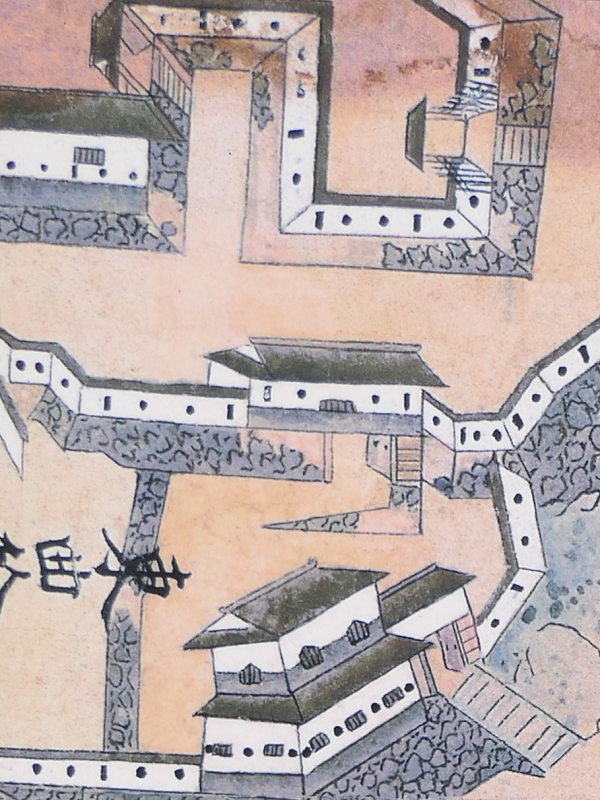
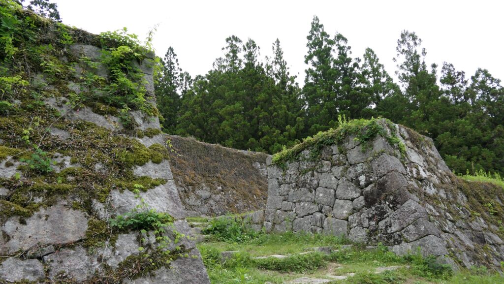
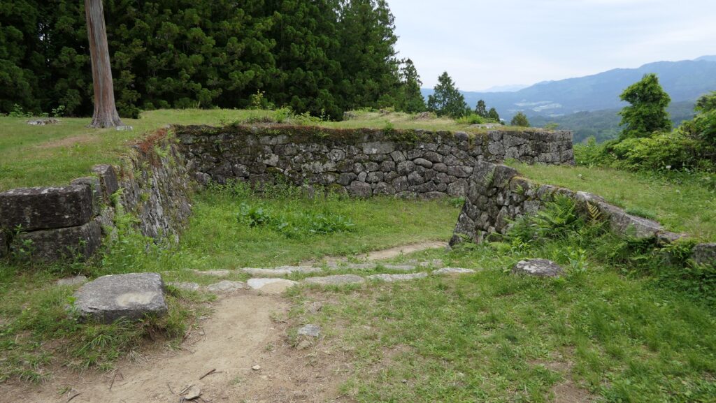
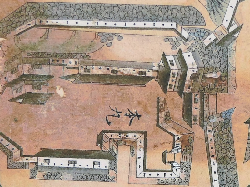
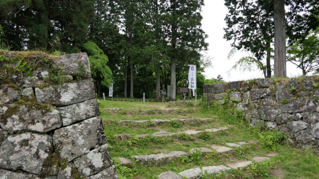
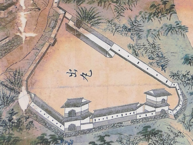
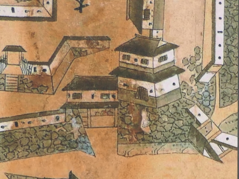
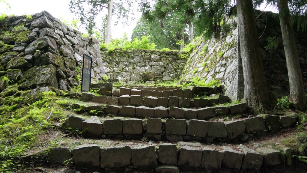
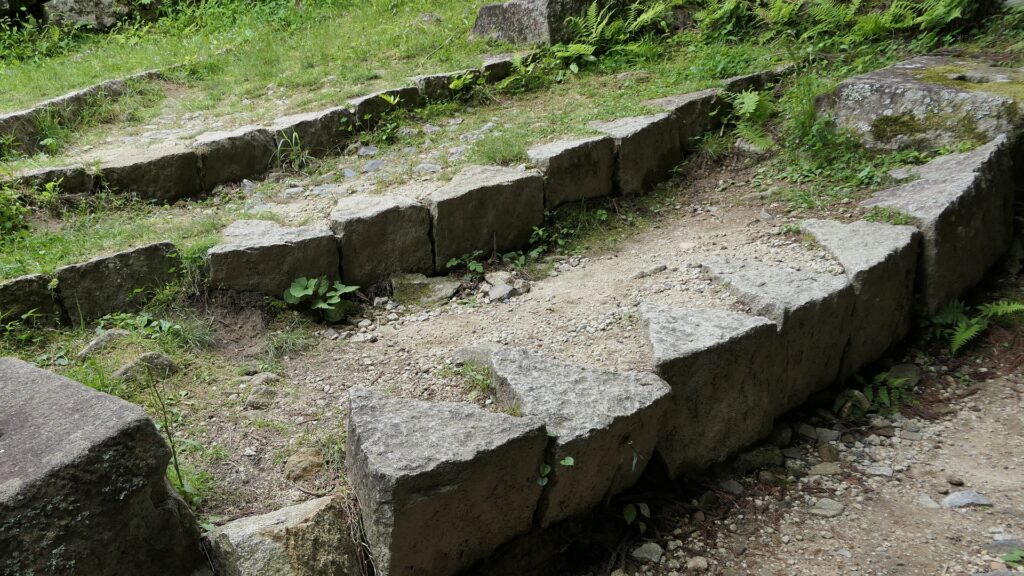
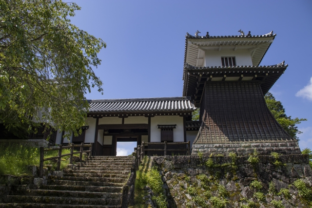
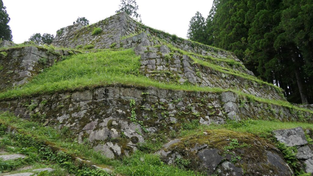
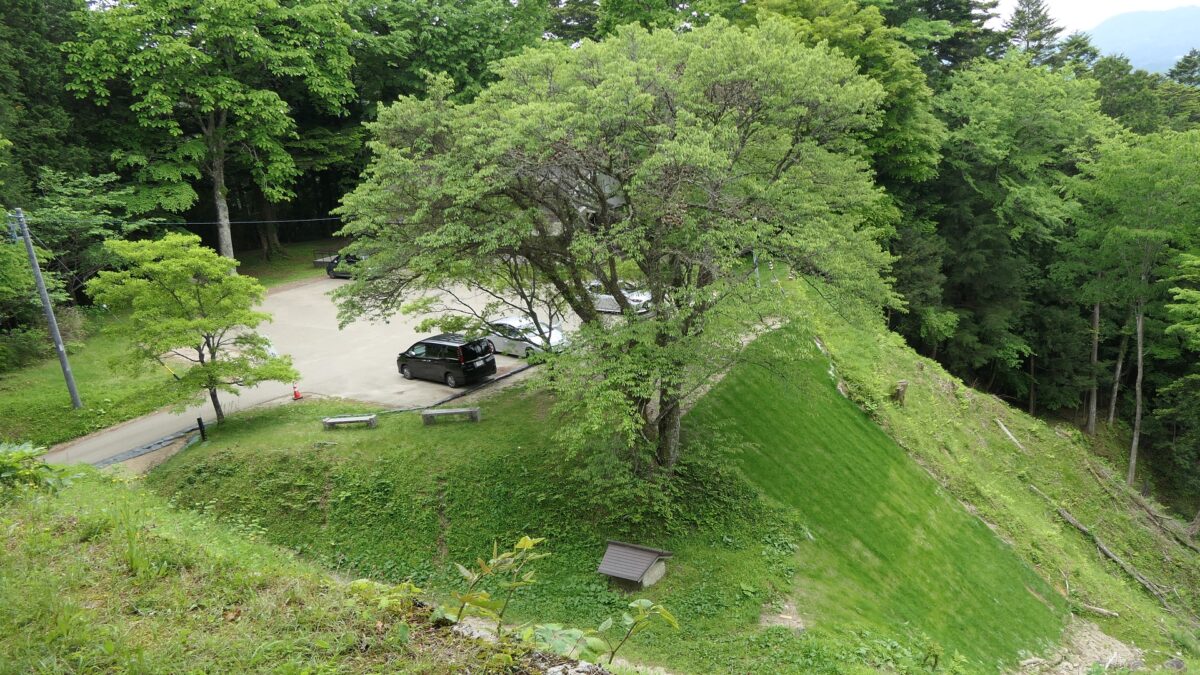
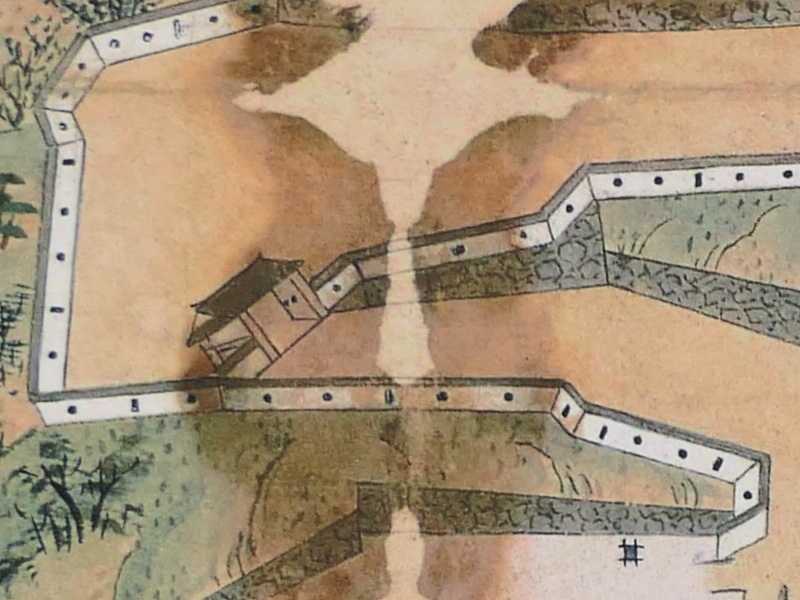
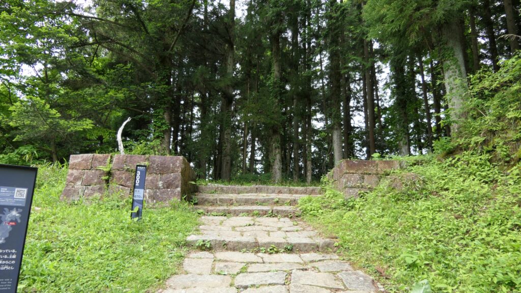
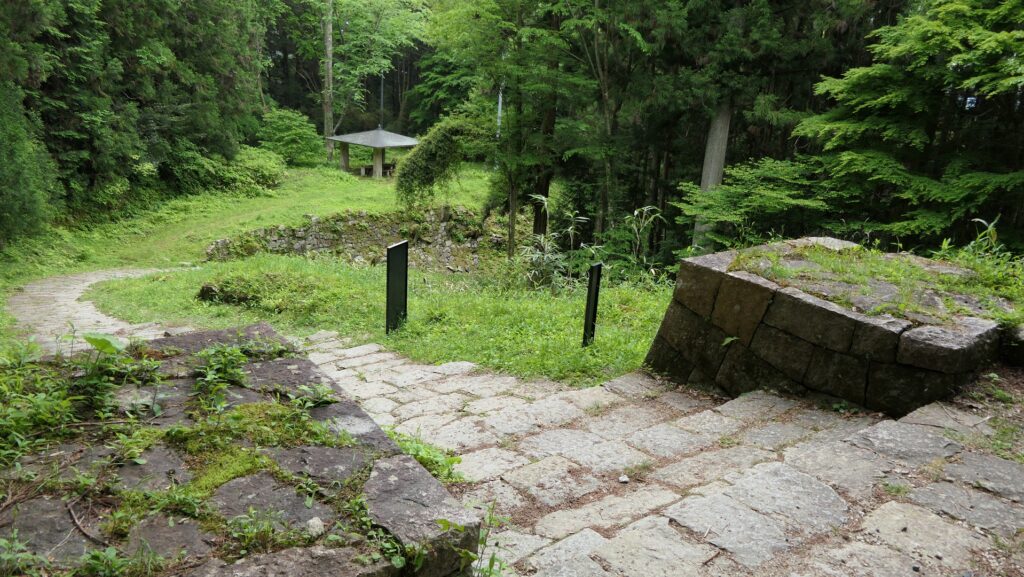
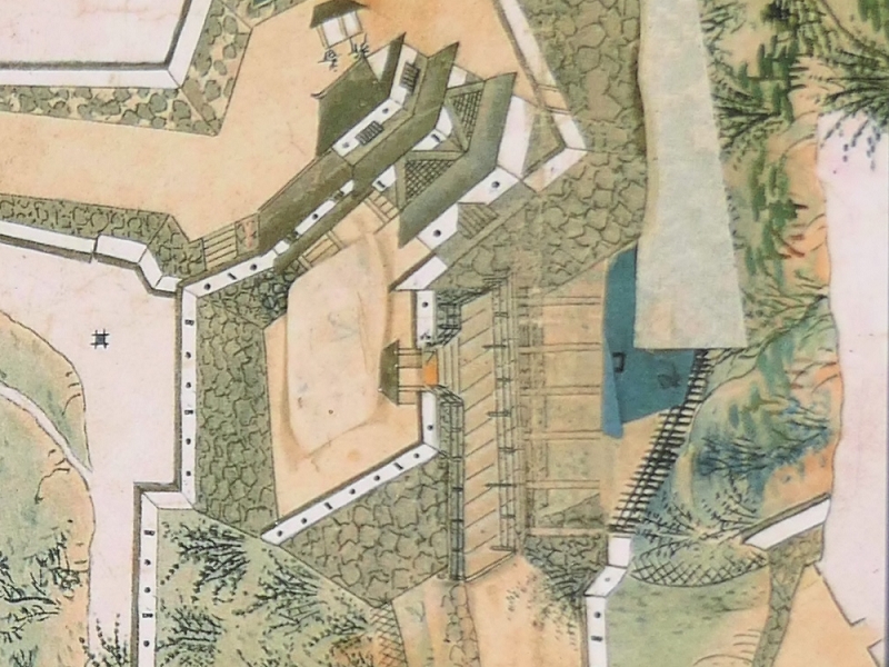
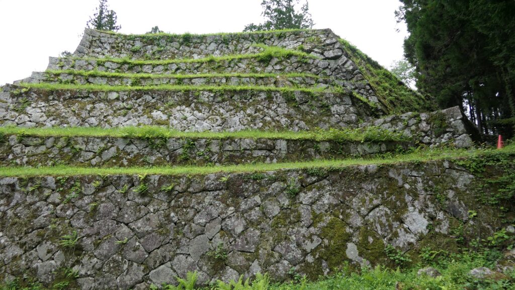
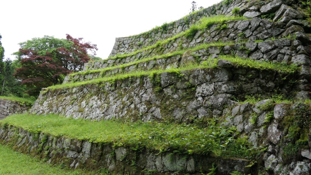
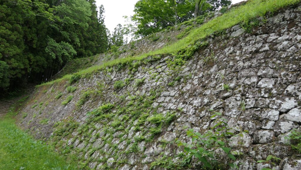
1991年に河後森城の全面調査が開始されました。この調査により、この城がその長い歴史の中で改良され続けたことがわかり、その一方で天守があったかどうかといった謎も残りました。その後、城跡は1997年に国の史跡に指定されました。調査の結果に基づき、松野町は1999年以来、城跡を史跡として整備してきました。例えば、本郭、西第十曲輪、古城では城の建物がいくつか復元されました。土塁も復元されたのですが、その一部は景観を配慮してオリジナルよりも低く作られています。

本郭
西第十曲輪で復元された兵舎
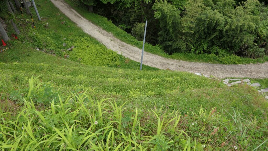
西第十曲輪の土塁は意図的に一部低く作られています
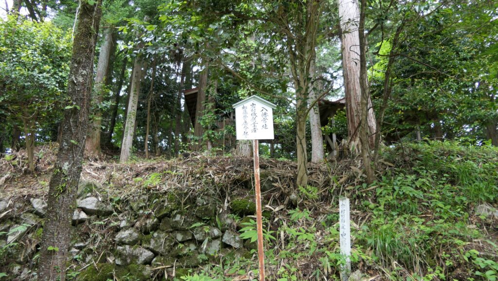
古城

松野町はまた、城跡を使った別の取り組みも行っています。一例として、地元の小学校の児童がこの場所で野外学習を行い、城のことを学んでいます。この城を訪れた児童は、詳しい情報を調べた後、自分たち独自の説明パネルを作り、観光客に提供しています。

復元兵舎に展示された児童が作った説明パネル

私の感想

この城跡のために地元の子どもたちが作った説明パネルに感銘を受けました。その内容は観光客にとっても地元のコミュニティにとっても有益だと思います。それは、子どもたちも他の人たちもこの活動を通じてこの城のことや地元の歴史を知ることができるからです。その上に、その子どもたちが自分の郷土に誇りを持ち、大きくなって他の地域の人にこの城のことを語るようになるのではないでしょうか。また、城に関して言えば、全ての城には異なる時代背景、地域、状況があるため、それぞれが固有でユニークな特徴を持っていることを改めて思った次第です。

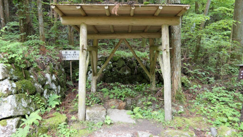
こちらは井戸の説明パネル
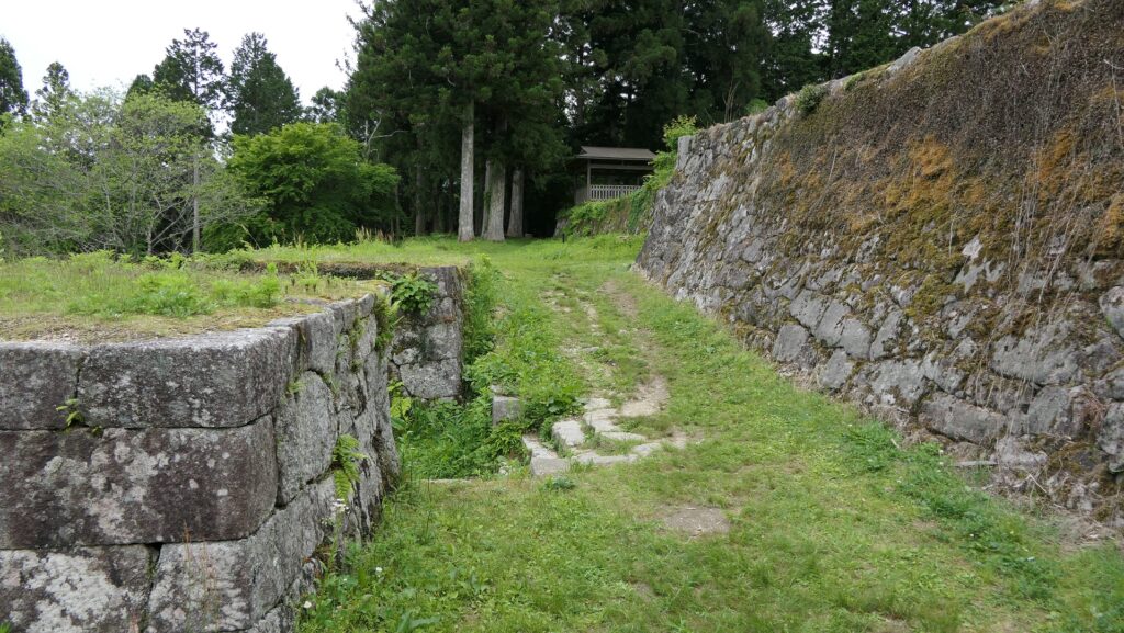
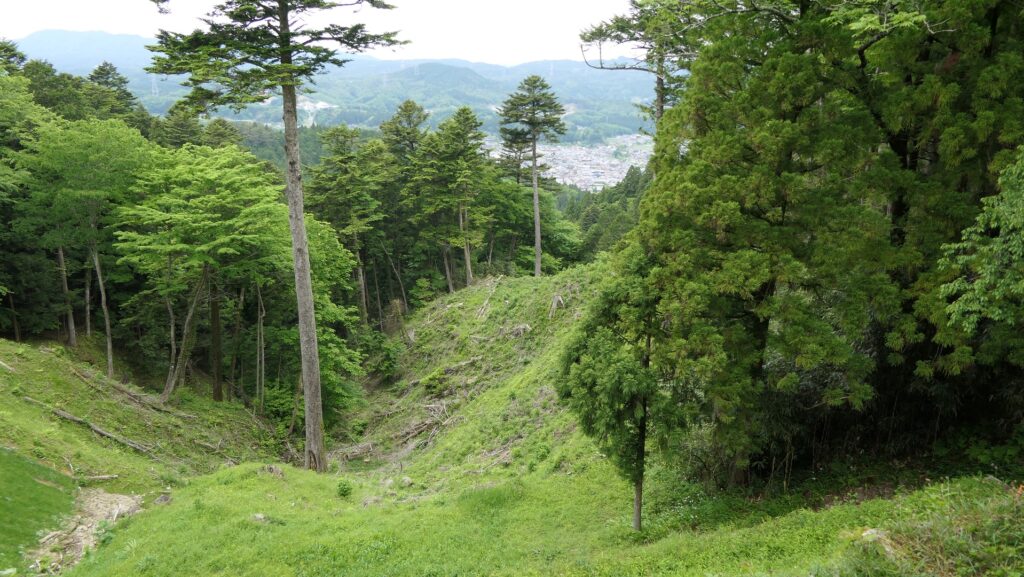
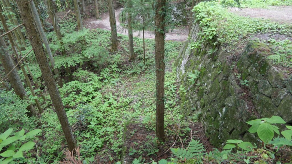
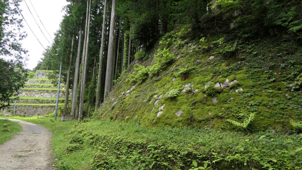
古城にある堀切

ここに行くには

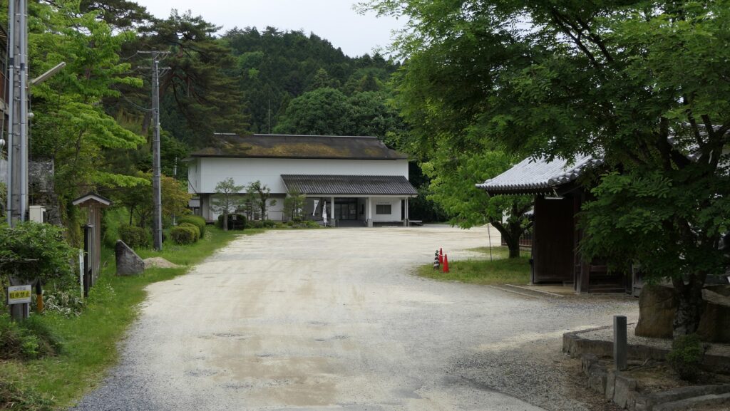
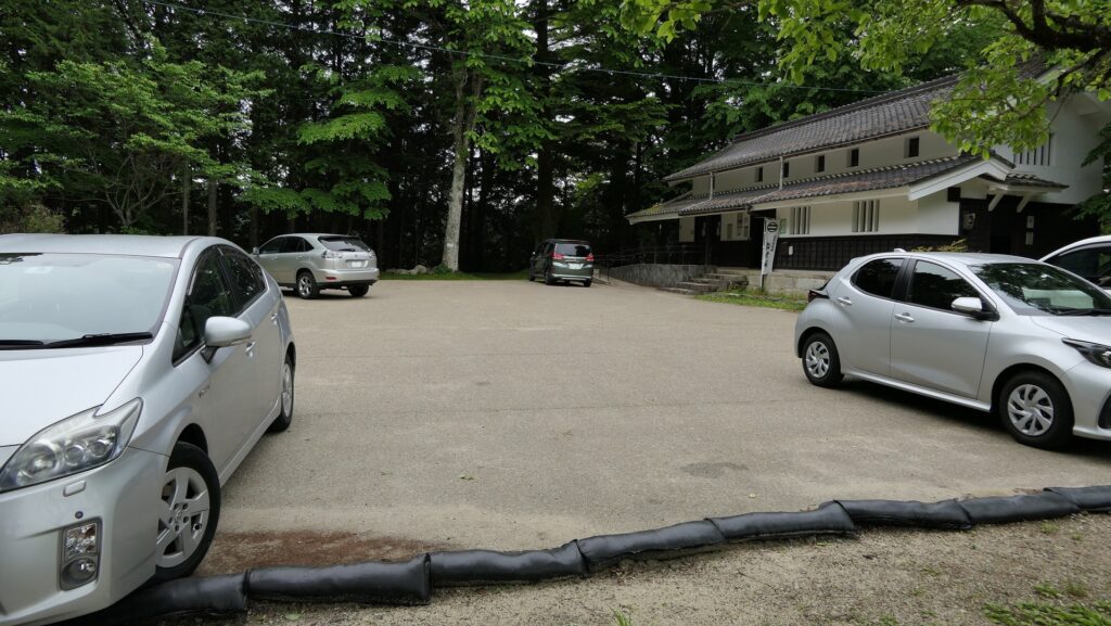
車で行く場合:松山自動車道の三間ICから約15kmのところにあります。城跡に駐車場があります。
公共交通機関を使う場合は、予土線の松丸駅から歩いて約15分かかります。
東京または大阪から来る場合:飛行機か高速バスを使って来られることをお勧めします。

リンク、参考情報

河後森城のページ、松野町ホームページ
・「日本の城改訂版第21,153号」デアゴスティーニジャパン
・「築城の名手 藤堂高虎/福井健二著」戒光祥出版
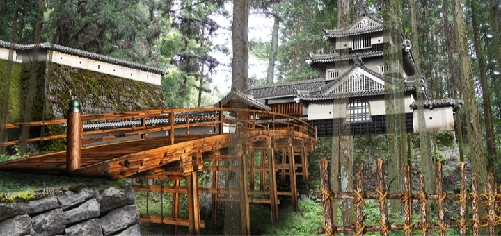
・「河後森城天守のモデリングにあたって」松野町

これで終わります。ありがとうございました。
「河後森城その1」に戻ります。
「河後森城その2」に戻ります。

179.Kagomori Castle Part2

You can enjoy a mountain castle safely.

Features

Unique Natural terrain

Today, the ruins of Kagomori Castle have been re-developed for visitors. If you drive to the ruins, you can park at the south of the mountain, which is below the upside-down U shape. After that, you can first walk to the bottom of the valley called Furogadani, which is likely the inside of the U shape. You will probably feel like you are entirely surrounded by the ridges of the mountain, which has very unique terrain. You can still see the well of the castle, filled with water, but probably can not be consumed now.

The aerial photo around the castle

Going to Furogadani Valley
The well of the castle, quoted from the website of Matsuno Town
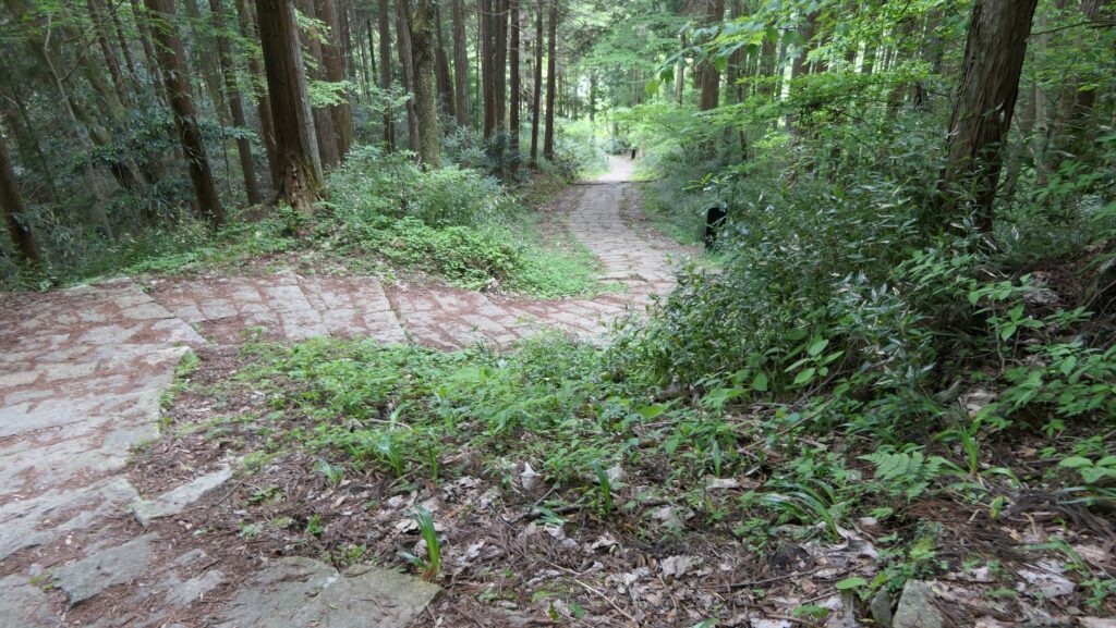
The beginning of the path

Enclosures are in line on U shape Ridge

Visitors typically climb up to the western edge of the U shape from the valley through the steep zigzagged trail. You will reach the Western 10th Enclosure, which is approximately 70m above the bottom of the valley. There is the restored gate, a barrack with horse stable and earthen walls, thanks to the results from the excavations. The excavation team also discovered that the enclosure had the hall turrets, which was called Tamon-Yagura, beside the earthen walls. From there, you can see the area around including the Shinjo Enclosure, which is located on the opposite edge of the U shape. Overall, this enclosure was the pivot point of the castle.

Closing to the Western 10th Enclosure
The restored gate
The Western 10th Enclosure
The horse stable part of the barrack
A view from the Western 10th Enclosure

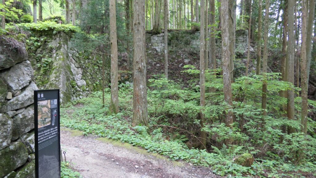
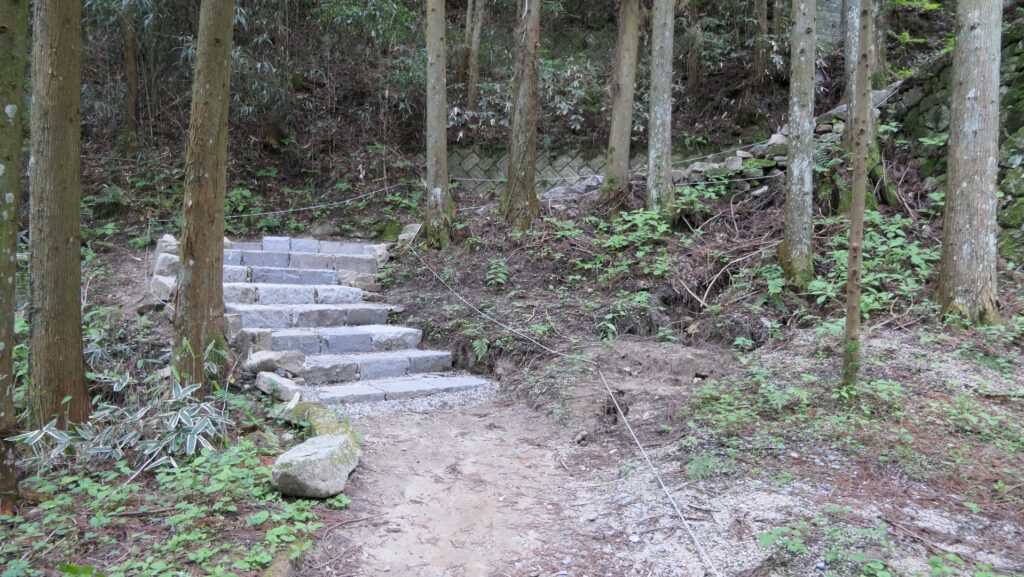
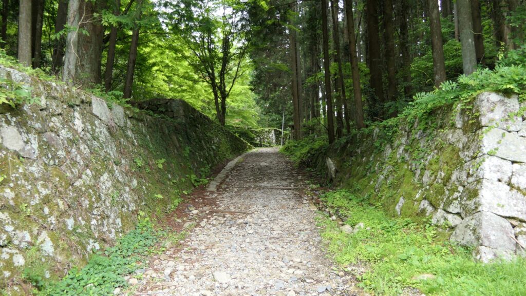
If you want to get closer to the center of the castle, the Main Enclosure, you will have to go through as many as eight enclosures. Each enclosure is small, but all are in a line on the long and the narrow ridge of the mountain. These enclosures were divided by artificial ditches called Horikiri. The route to the Main Enclosure is much narrower and goes along the side of these enclosures. If enemies were to attack the castle using this route, they would have found it very challenging. However, visitors today can walk on the same route safely because steps and bridges were installed.

The steps and bridge installed on the trail
The trail goes beside the enclosures
One of the artificial ditches

Main Enclosure, Center of Castle

When you reach the entrance of the Main Enclosure, you will find some remaining stone walls. They are part of the alternative entrance called Koguchi, which replaced the old ditch in the later stage of the castle. The Main Enclosure is on the top of the mountain (approximately 90m from the foot) and the center of the U shape ridge. From here, you can enjoy views of Matsuno Town in the north and both edges of the ridges, the Sinjo Enclosure and the Western 10th Enclosure you passed through. This was ideal for the headquarters.

The Main Enclosure
A view of Matsuo Town
A view of the Western 10th Enclosure from the Mian Enclosure
A view of the Shinjo Enclosure from the Mian Enclosure

There are also some restored pillars and floor of the Main Hall to show visitors its layout based on the excavation. It was thought that this is where the lord lived and some ceremonies were held in the same hall. In addition, relics like stone foundations and rooftiles, which might have been used for the Main Tower, were discovered in the enclosure.

The partially restored pillars and floor of the Main Hall

To be continued in “Kagomori Castle Part3”
Back to “Kagomori Castle Part1”

179.河後森城 その2

安全に見学できる山城です。

特徴、見どころ

ユニークな地形

現在、河後森城跡は観光客向けによく整備されています。もし車でここに来られるようでしたら、山の南側、U字をさかさまにした底の部分に駐車することができます。その後、まずは風呂ヶ谷(ふろがだに)と呼ばれる谷の底、U字の内側部分に向かって歩いて行きます。恐らくそこでは、山の峰全体によって囲まれていると感じられるでしょう。とてもユニークな地形です。また、そこには今でも水に満たされている城の井戸があります。その水は今では飲むことはできないでしょう。

城周辺の航空写真

風呂ヶ谷の方に向かいます
城の井戸(松野町ホームページより引用)
山道の登り口

U字形の峰に沿って並ぶ曲輪群

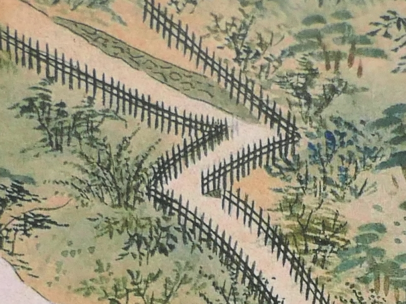
観光客は大抵は、谷から急な曲がりくねった山道を通ってU字型の西端の方に登っていきます。やがて、谷の底から約70mの高さのところにある西第十曲輪に着きます。ここには発掘の成果により、門、馬小屋のついた兵舎、そして土塁が復元されています。発掘によって、その他にも土塁の傍らに多聞櫓があったことがわかっています。この曲輪からは、U字形の反対側の端にある新城を含む周辺の地域を見渡すことができます。この曲輪は、城の要の場所であったのです。

西第十曲輪に近づきます
復元された門
西第十曲輪
復元された兵舎の馬小屋部分
西第十曲輪からの眺め

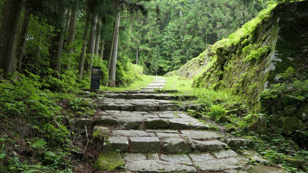
城の中心部の本郭に近づこうとするには、8つもの曲輪を通り過ぎなければなりません。それぞれの曲輪は小さいのですが、全て山の長く狭い峰に沿って並んでいます。これらの曲輪は、堀切と呼ばれる人工的な溝によって区切られています。本郭への山道は、ずっと細くなり、曲輪の脇に沿って進んでいきます。仮に敵がこの山道を通って攻撃したとしても、それは大変困難なことだったでしょう。しかし、現代の観光客は、山道に階段や橋を渡してあるため、同じ道を安全に歩くことができます。

山道に設けられた階段や橋
曲輪の脇を進む山道
堀切の一つ

城の中心部、本郭

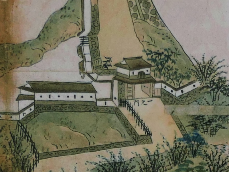
本郭の入口に着いてみると、石垣がいくらか残っているのが見えます。この石垣は、虎口と呼ばれる互い違いに作られた入口の一部なのです。この虎口は、城の後半期にもとは堀切であった所を置き換えて作られました。本郭は、山の頂上にあり(麓から約90mの高さ)、U字形の峰の中心部分に当たります。ここからは、北の方に松野町の町並が見え、峰の両端の新城や通ってきた西第十曲輪も見渡すことができ、とても良い景色です。ここは城の本拠地としては最適の場所です。

本郭に到着
松野町の町並
本郭から見た西第十曲輪
本郭から見た新城

またここには、発掘の成果に基づき、主殿舎の柱と床面がいくらか復元されており、観光客がそのレイアウトがわかるようになっています。この館には城主が住み、儀式が行われていたと考えられています。更にはこの曲輪からは、天守のために使われたかもしれない礎石や瓦などが発見されています。

一部復元された主殿舎の柱と床面

「河後森城その3」に続きます。
「河後森城その1」に戻ります。