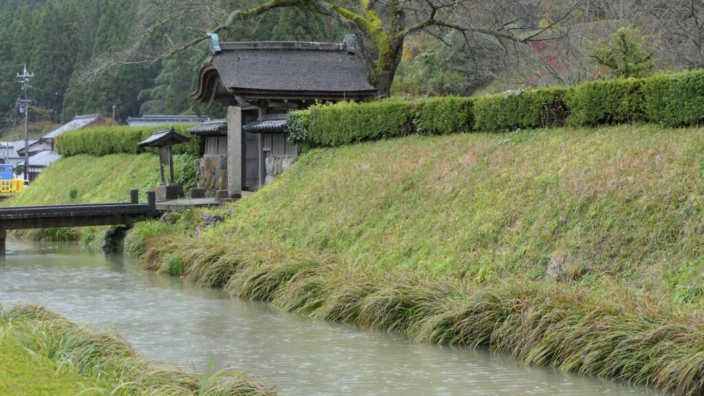
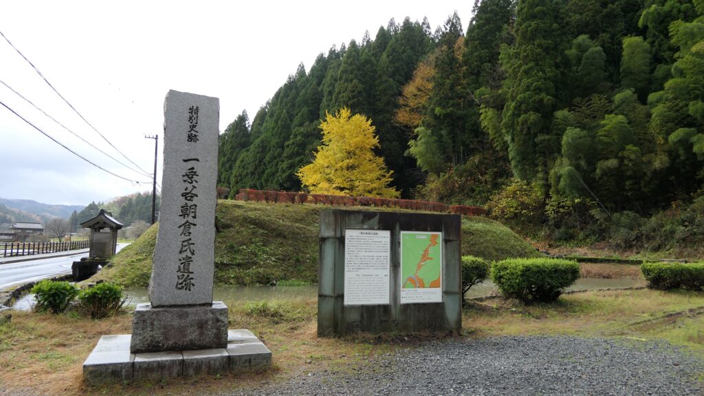
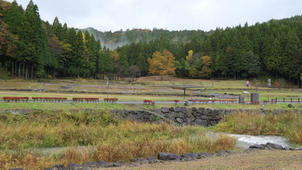
If you visit the ruins of Ichijodani Castle by driving or walking on the route along the valley, you will be surprised to see unending residence ruins on both sides of the route. The area of 278 hectares was designated as a National Special Historic Site named the Ichijodani Aasakura Clan Ruins. Over 2,300 unearthed items from the site were also designated as Important Cultural Properties.
The aerial photo around the castle
The ruins along the valleyThe ruins of the castle town
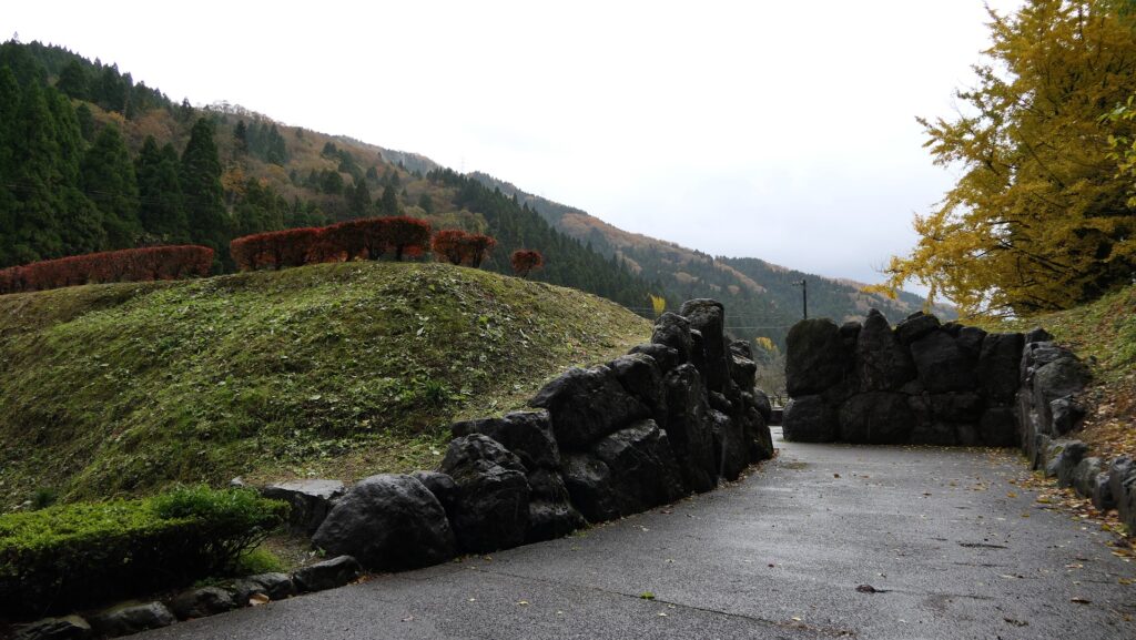
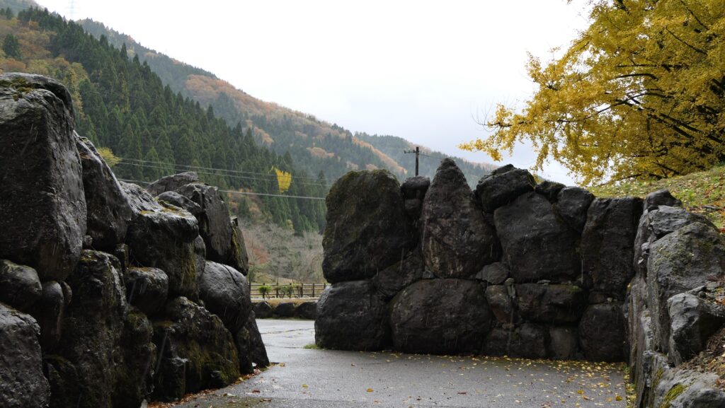
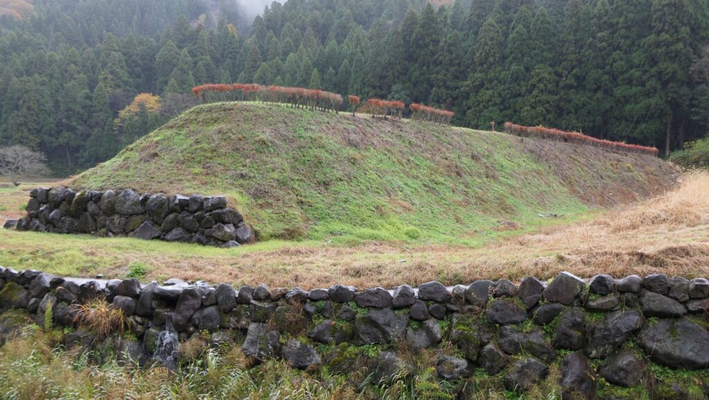
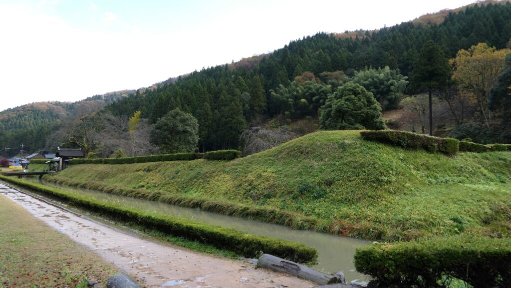
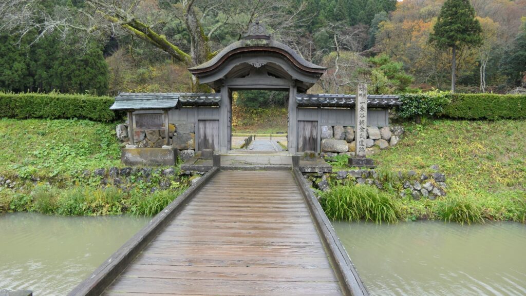
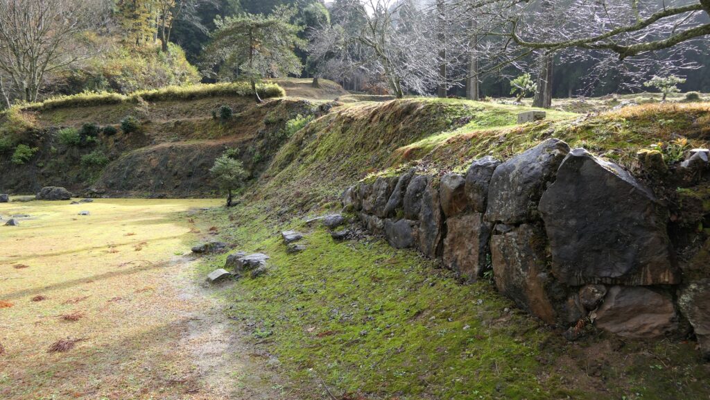
You can also see the ruins of fortress entrances at both edges of the site. The ruins of the Outbound Fortress Entrance still have an alternate entrance using huge stones. The entrances resemble a castle gate. The Inbound Fortress Entrance was restored in 1990 and it is 105m long and 5m tall earthen walls.
The ruins of the Outbound Fortress EntranceThe alternate entrance using huge stonesThe restored Inbound Fortress Entrance
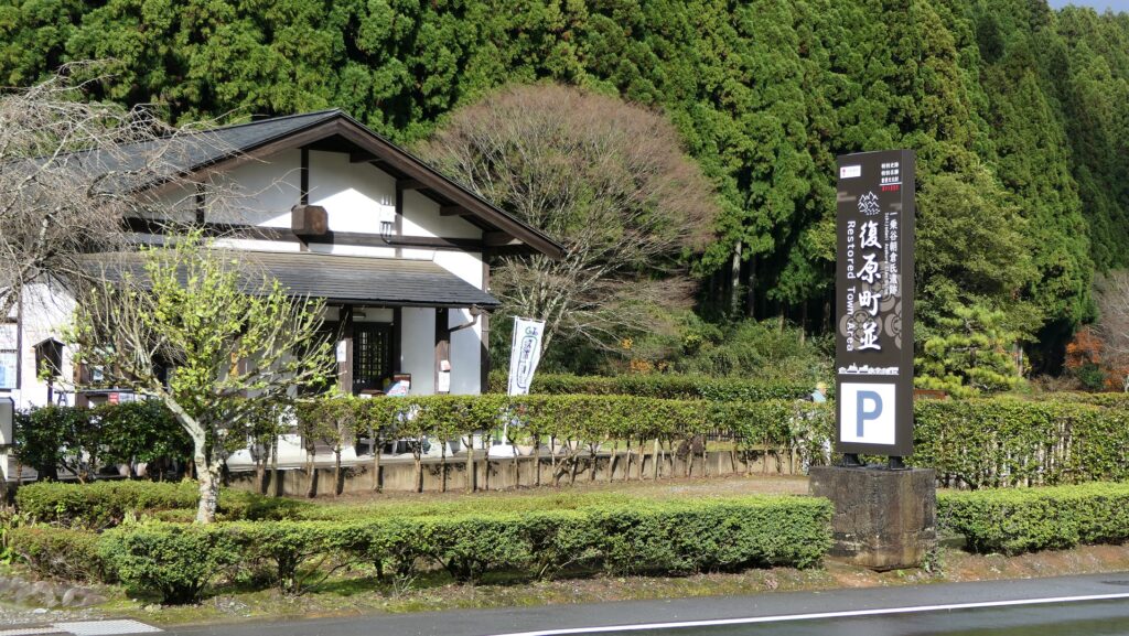
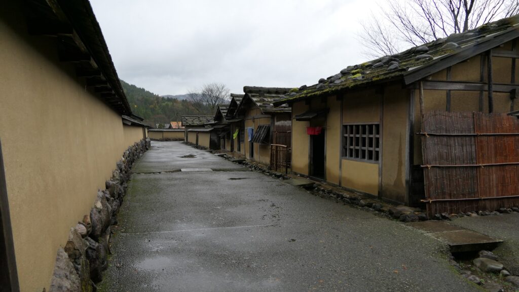
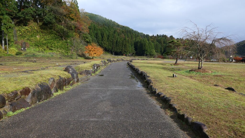
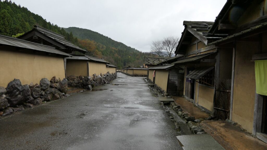
Restored Castle Town of Sengoku Period
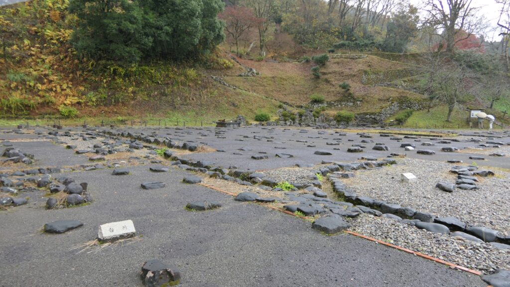
Thanks to the achievement of excavation, you can visit the about 200m long restored streets and residences at the center of the ruins. If you stand in the streets, you will feel like you were in a real medieval city.
The restored streets and residences
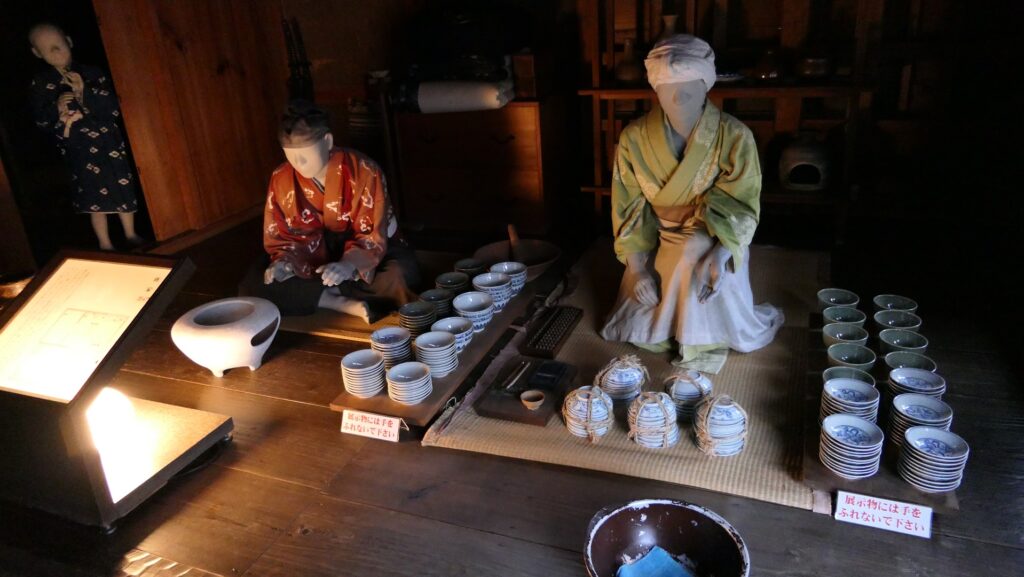
You can also enter these restored residences. For example, in a merchant house, the mannequins of merchants sell something like potteries.
The inside of the restored merchant house
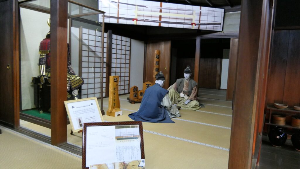
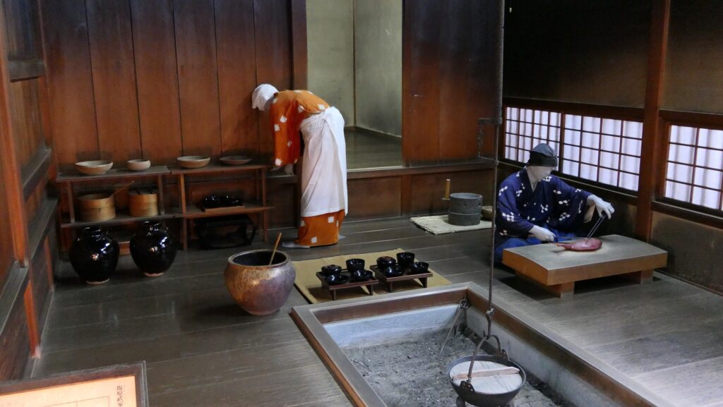
In a warrior’s house, the male mannequins play Japanese chess in the Japanese style drawing room, while the servant mannequins prepare a meal in the kitchen. These items were all restored based on the relics from the site, the remaining pictures, and buildings in other sites.
The restored warrior’s houseThe mannequins playing Japanese chess in the Japanese style drawing roomThe inside of the kitchen
Asakura Clan Hall Ruins in Center
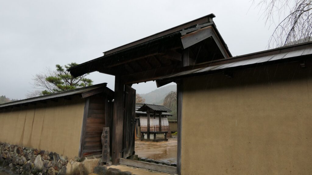
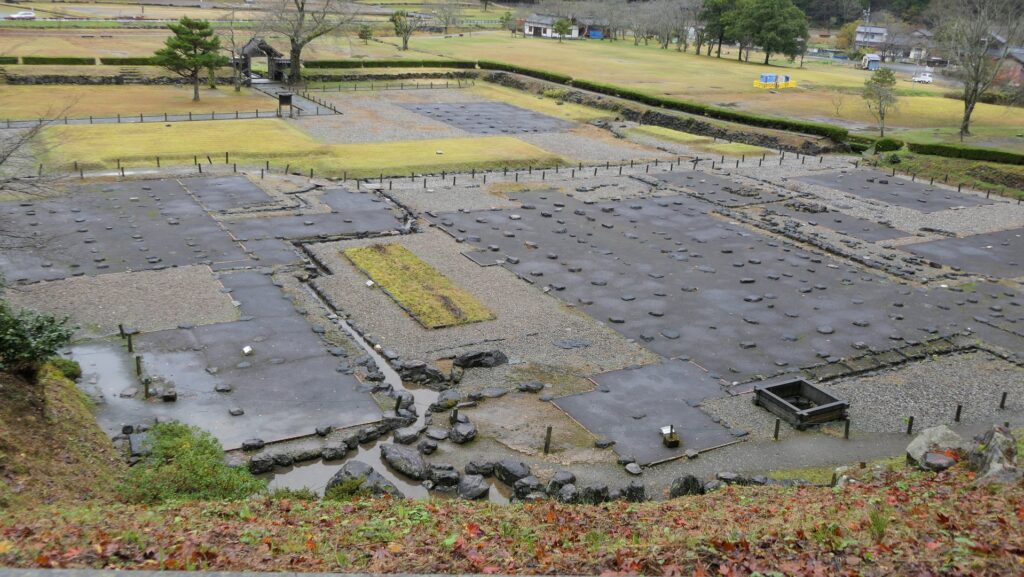
You should check out the ruins of the Asakura Clan Hall Ruins which is located on the opposite side of the restored streets separated by the Ichijodani River. The hall was largest building in Ichijodani, which was used by the lord of the clan. The ruins are about 120m square, and still have earthen walls and water moat surrounding them. The ruins also have a Chinese style gate building in front of them. The remaining gate is that of the Shounin Temple which was built on the ruins in the Edo Period after the hall was burned. The ruins and the temple gate fit in with each other very much.
The Asakura Clan Hall Ruins surrounded by the earthen walls and water moatThe Chinese style gate building at the ruins entrance
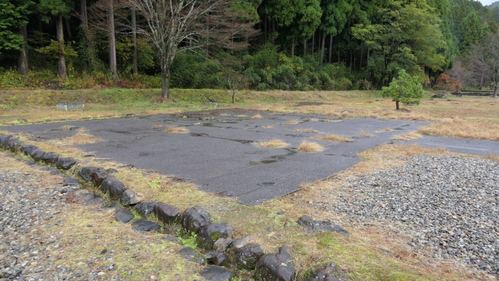
Inside the ruins, the location of each building is shown as a flat exhibition, so you can understand what buildings were built in the past.
The inside of the hall ruinsA view of the hall ruins from the upper back side
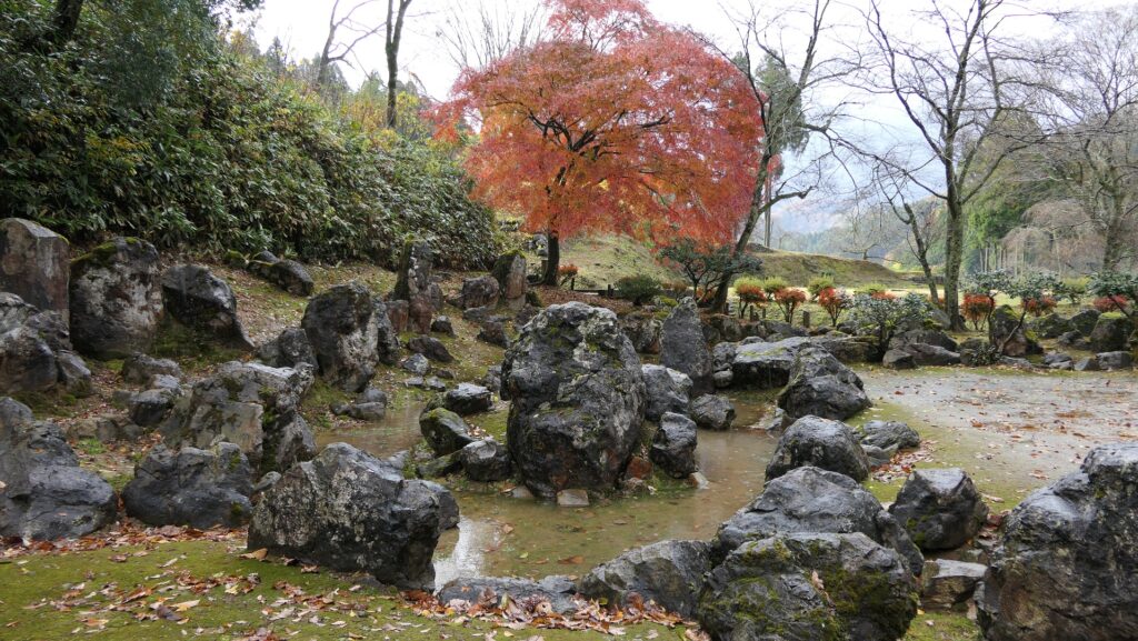
Actual Special Places of Scenic Beauty Gardens
There are also several hall ruins for the Asakura Clan’s relatives. Moreover, four of the ruins of the clan’s gardens around the halls have also been designated as Special Places of Scenic Beauty since 1991. It is surprising that the gardens as they were in the 16th Century, still impress people in the present time.
The ruins of Nakanogoten Hall, one of the hall ruins for the Asakura Clan’s relatives
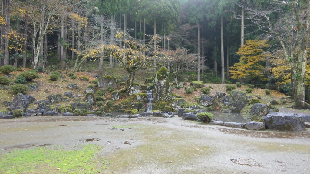
For example, Yudono Garden Ruins above the Asakura Clan Hall Ruins have the combination of wild rocks. It is said that the atmosphere of the garden is similar to that of the Sengoku Period.
The Yudono Garden Ruins
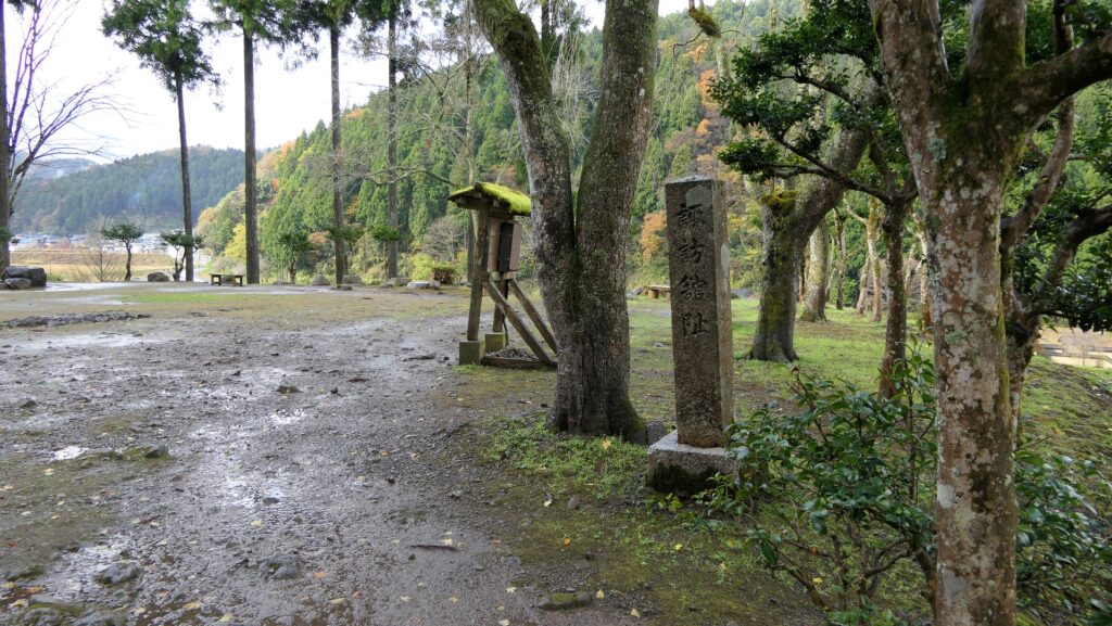
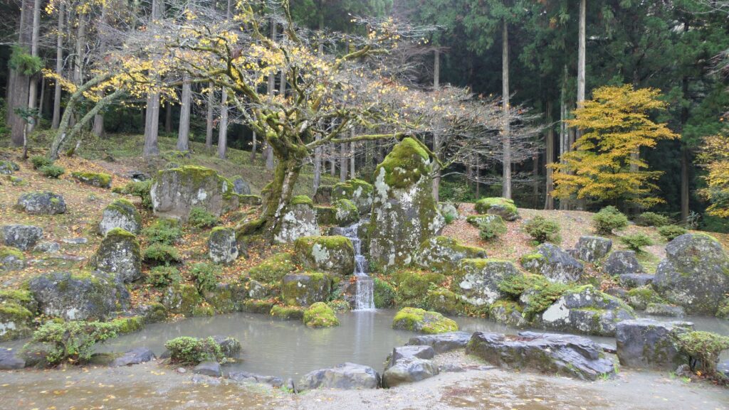
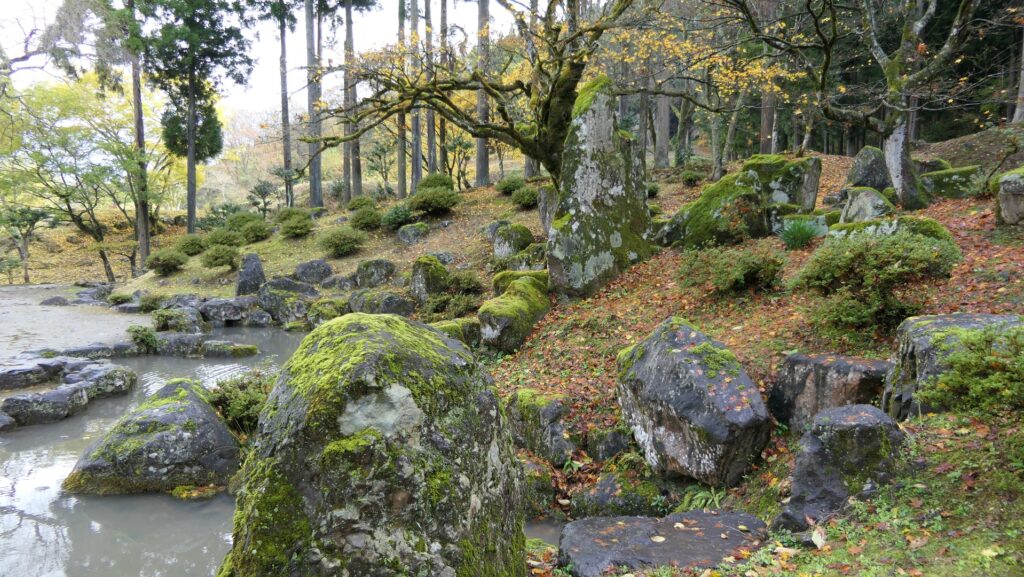
It is said that Suwa Residence Garden, now called the Suwa Residence Garden Ruins, was originally built for Yoshikage Asakura’s wife. It is a beautiful waterfall garden made using huge stones. The largest stone in the garden is said to be the largest one for a waterfall garden in Japan.
The Suwa Residence RuinsThe Suwa Residence Garden RuinsThe garden was made using huge stones