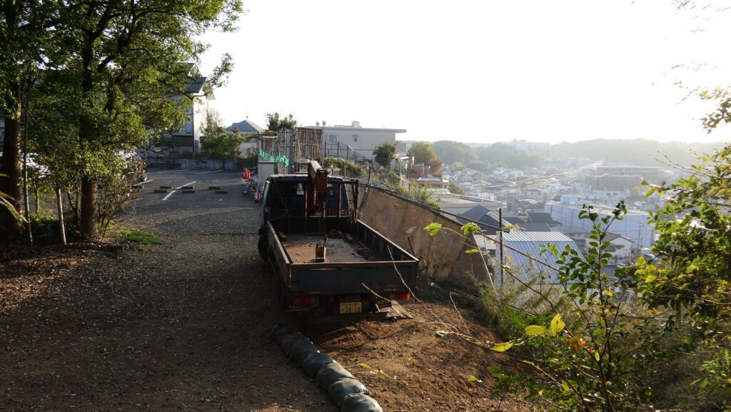
The ruins have become popular since the construction of the road.
Features
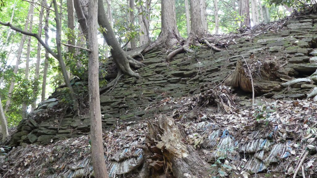
Parted Barbican
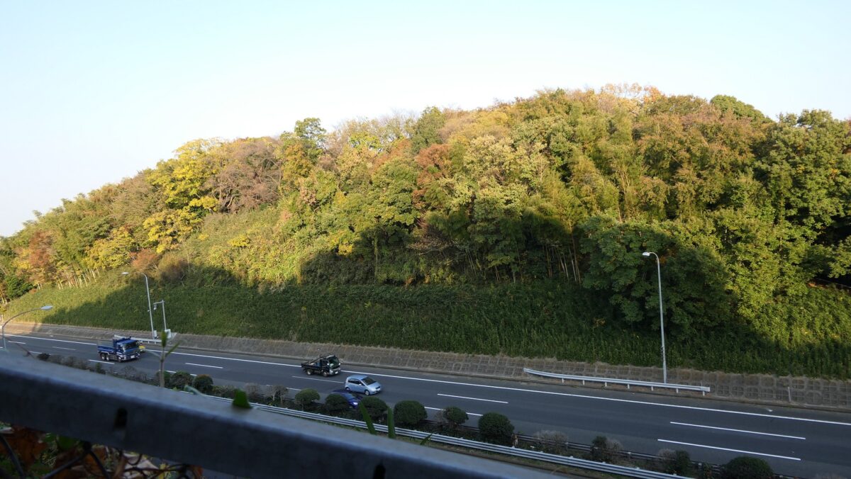
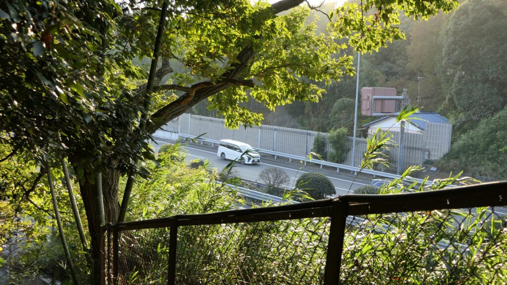
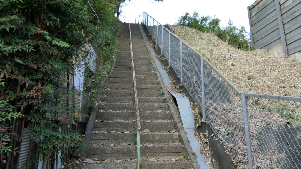
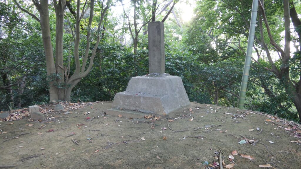
In fact, the ruins were partly destroyed and divided by the Daisan-Keihin Road. You can look at one of the barbicans over the road from the entrance of the Western Enclosure. You will have to go through the tunnel under the road to get there. The top of it is one of Fujizuka Mounds, called Fuji-sengen, made for worshiping Mt. Fuji since the Edo Period. It might had been a turret base before that. When you walk out of the ruins, you will get back to the city area right away.
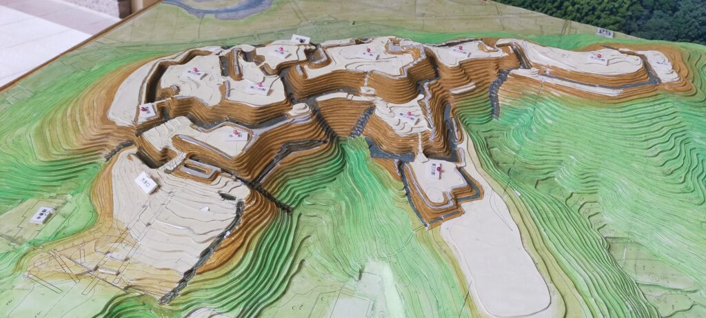
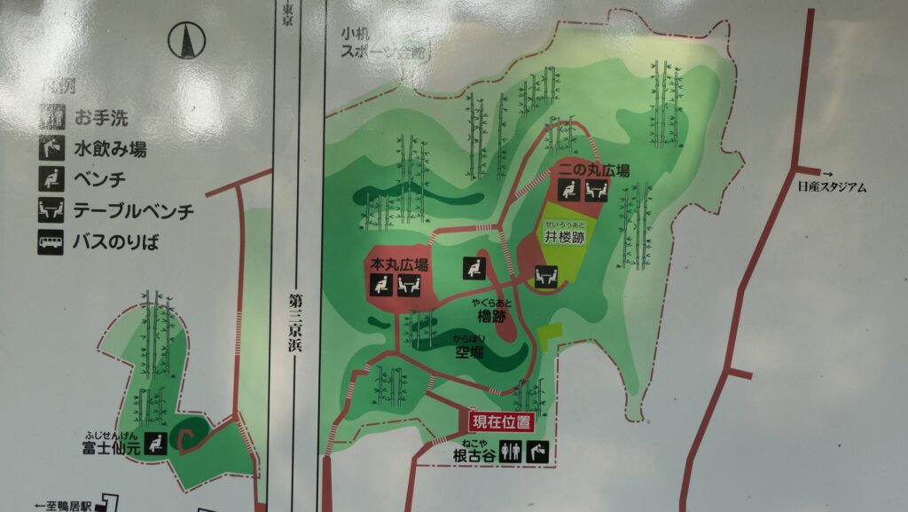
The map around the castle
The Daisan-Keihin Road parting the ruinsClimbing the stairways after the tunnelThe Fujizuka Mounds on the barbicanyou will soon get back to the city area
Later History
After Kozukue Castle was abandoned, the local people have called the ruins Shiroyama or the Castle Mountain. The studies about the castle started as early as in the Edo Period. However, the ruins ironically became popular as a historic site since they were partly destroyed by the construction of the Daisan-keihin Road in 1963. Through that, Yokohama City launched the Kozukue Castle Ruins Forest to preserve them in 1977. People are now interested in what the castle was like in the past.
The ruins of Kozukue Castle and Daisan-Keihin Road
My Impression
I think Kozukue Castle is a good example of how to protect a castle with few defenders. I guess if a battle happened at Kozukue Castle when Hideyoshi invaded, this castle could survive at least over one night unlike Yamanaka Castle and Hachioji Castle.
The large dry moat in front of the Western Enclosure
How to get There
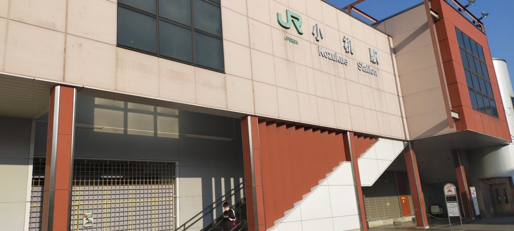
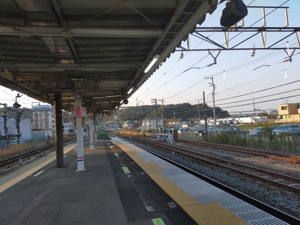
I recommend using a train when you visit the ruins because the park has no parking lot. It takes about 15 minutes on foot from JR Kozukue Station on the Yokohama Line.
Kozukue StationThe castle ruins seen from the platform of Kozukue Station
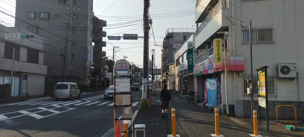
The Yokohama-Kamiasao Road (Kanagawa Prefectural Road 12) goes near the station, so turn right at the Kozukue Station Intersection and go along the street. Then, turn right at the Kozukuetsuji Intersection.
Turn right at the Kozukuetsuji Intersection
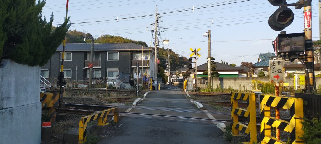
Go along the street again, cross the railway and turn left at the first intersection.
Cross the railwayTurn left right away
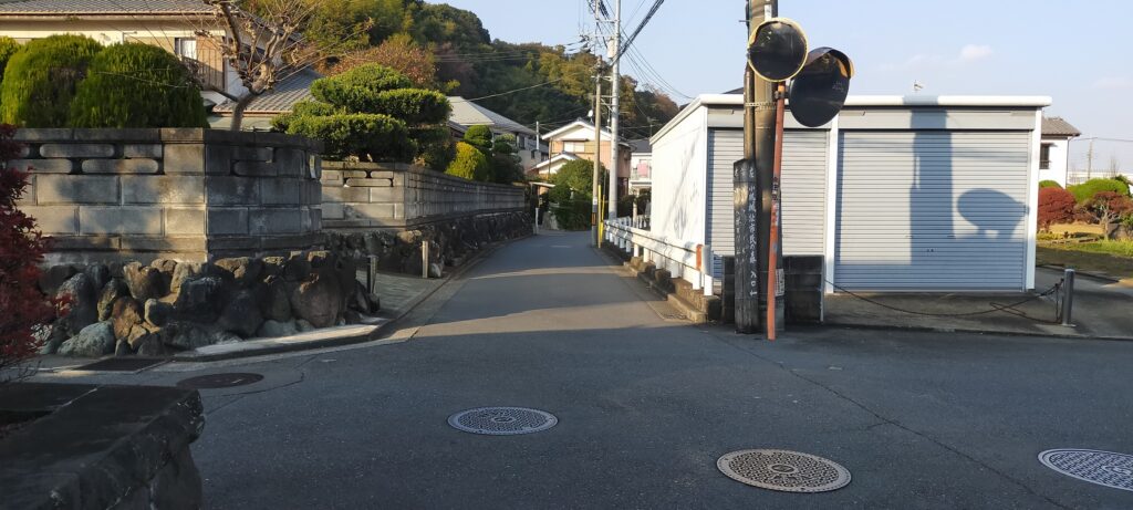
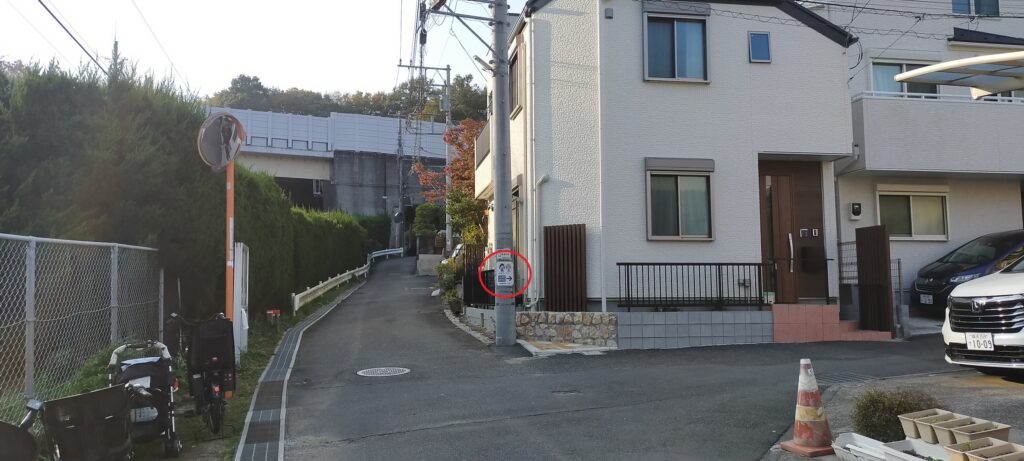
Go along the street in the residential area, and when you find the signpost for the ruins on the utility pole on the right, turn right. You will eventually arrive at the entrance of the ruins.
Turn right when you find the signpost on the utility pole (inside the red circle)The entrance of the ruins
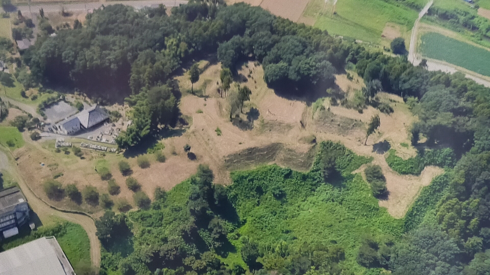
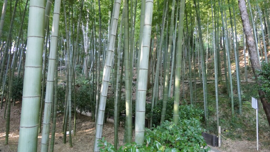
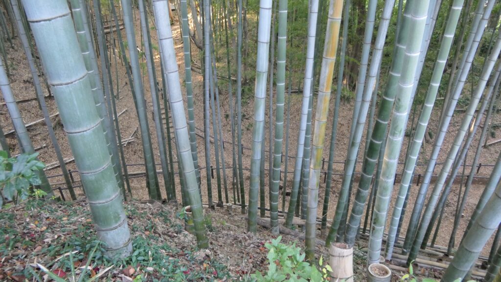
Today, the ruins of Kozukue Castle are preserved by Yokohama City as a park called the Kozukue Castle Ruins Forest. Yokohama City has the largest population among the cities in Japan except for Tokyo Special Ward, with about 3.8 million citizens. Even the hilly area around the ruins is covered with lots of modern facilities, office buildings and residences. However, once you walk into the ruins, you may feel like you are in another world. The hill for the ruins is basically planted with a beautiful and well-maintained bamboo forest. The foundation of the castle also remains under the forest.
The bamboo forest on the ruinsThe location map at the site
The map around the castle
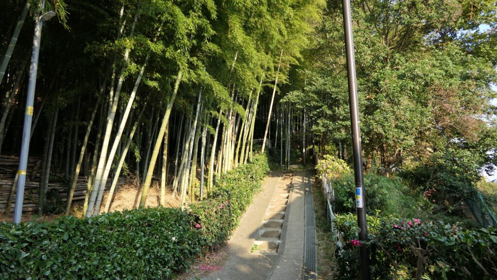
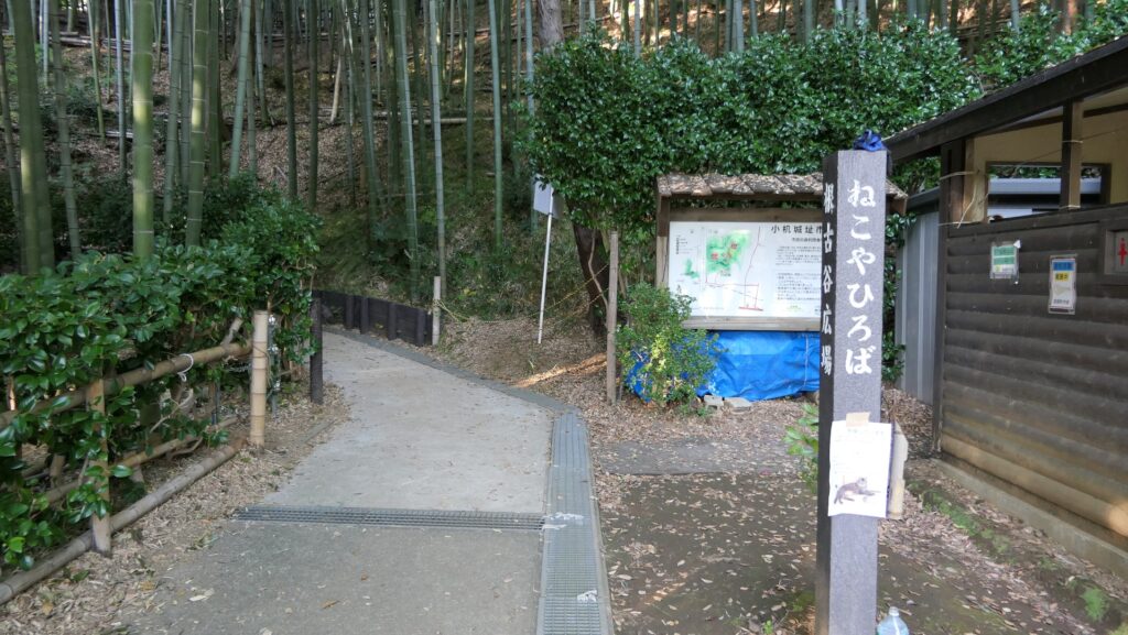
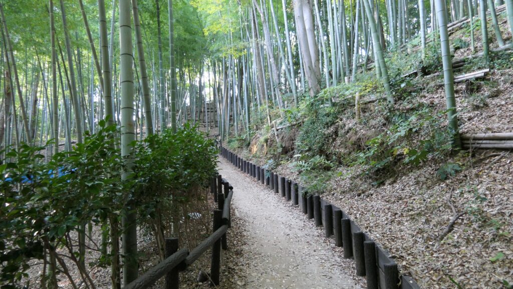
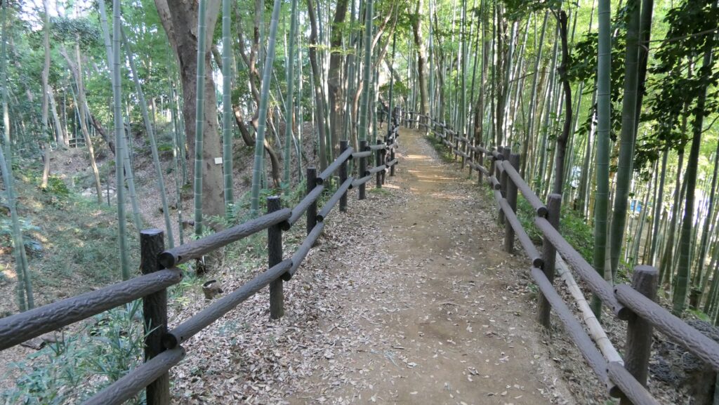
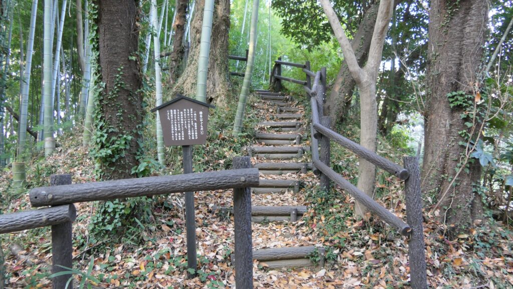
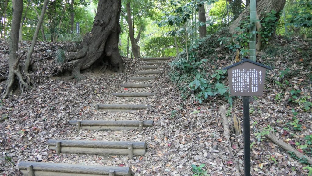
You can climb up on the well-developed trail from the foot of the hill called Nekoya.
The foot of the hillClimbing on the trail
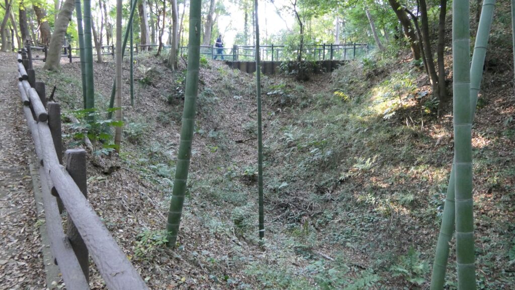
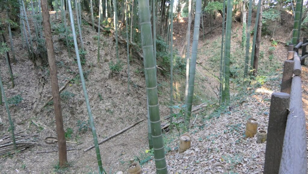
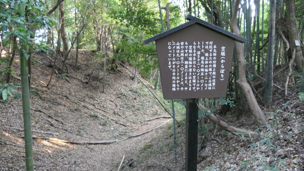
Large-scale Dry Moat
You will soon reach the top of the outer earthen walls and see the large-scale dry moat in front of the enclosures. This dry moat is still about 13m in width and about 12m in depth. It must have been much deeper in the past. When the excavation team recently dug the bottom of another dry moat in the castle at over 2m, they still could not find its original bottom.
The large dry moatLooking at the bottom of the moat
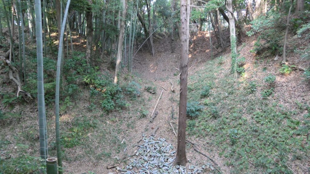
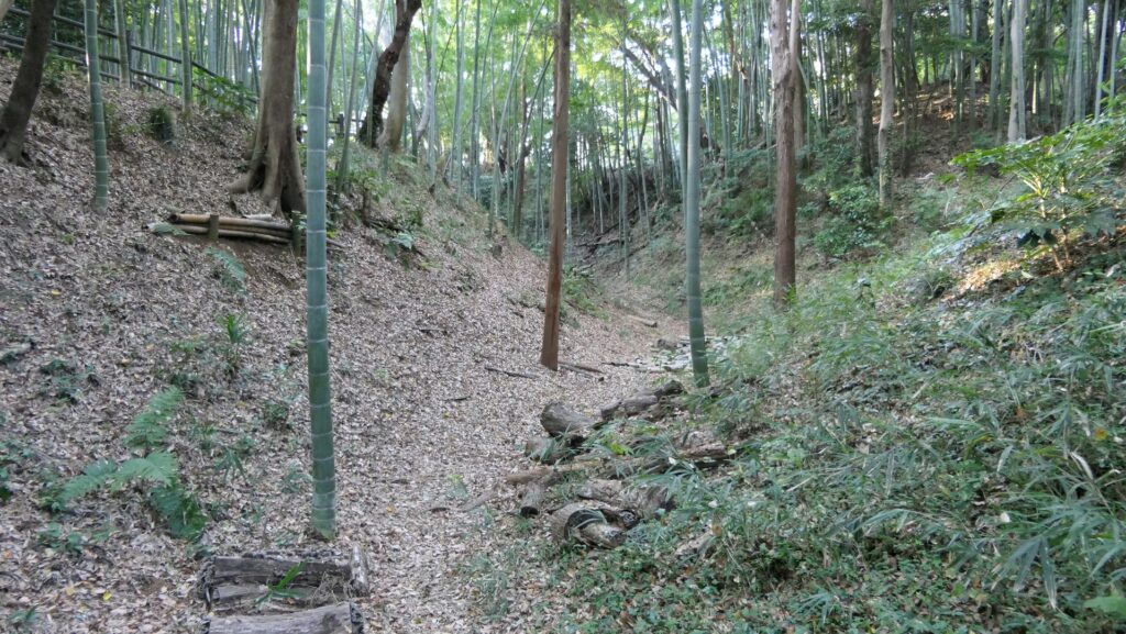
The trail goes on the outer earthen walls at the same level as the top of the moat, but you can also go down to the bottom from some points where the slope of the moat is gentle. If you stand at the bottom looking up, you might find another perspective of the castle.
The trail going on the outer earthen wallsOne of the points where you can go down to the bottom of the moatThe bottom of the dry moat
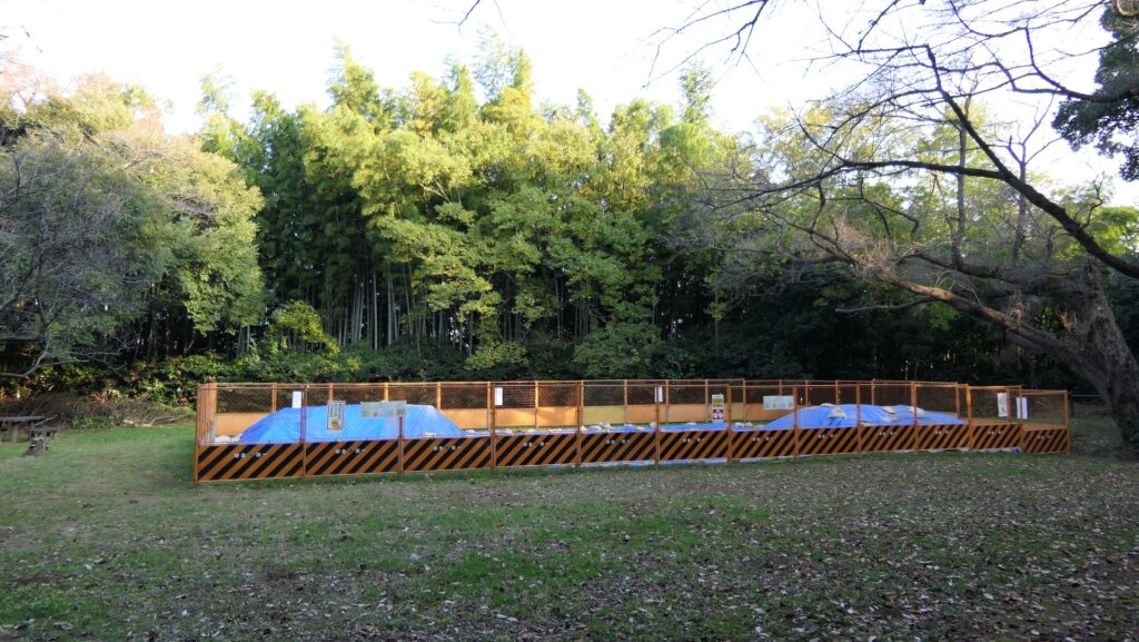
Eastern Enclosure under Excavation
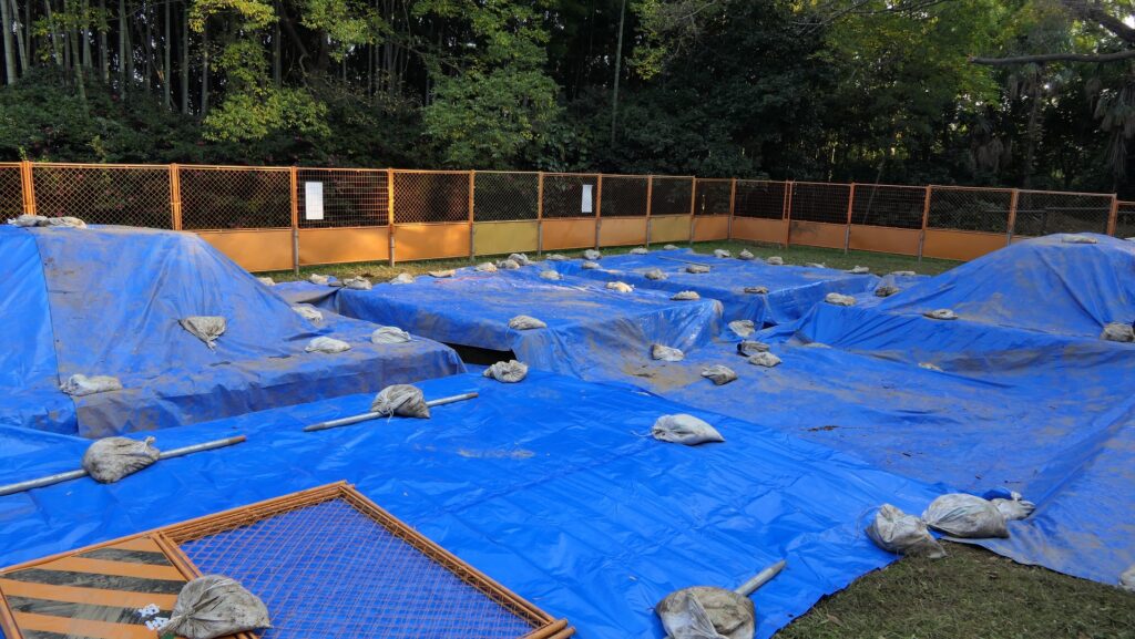
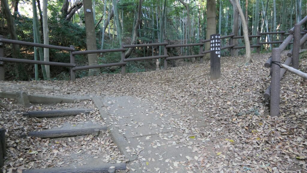
If you walk around the outer earthen walls to the right, you will reach the Eastern Enclosure which is also called the Second Enclosure at the site. The excavation is also ongoing at the center of the enclosure, where some buildings were built in the past.
The center of the Eastern EnclosureThe excavation site
You can also climb up to the high turret earthen base at the edge of the enclosure, where you can look down the dry moat around it from the top.
Climbing up to the turret baseA view of the dry moat around the enclosure from the base
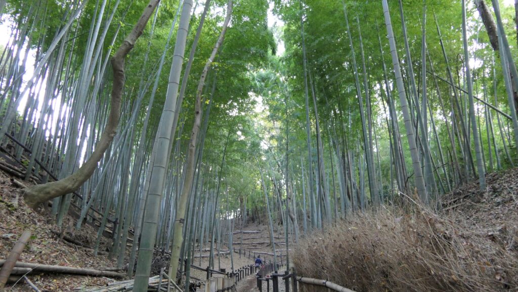
The trail around the enclosure goes to the bottom of the moat. You will find the beautiful bamboo forest around the enclosure again when you walk on the trail.
The trail on the bottom of the moatThe wonderful bamboo forest
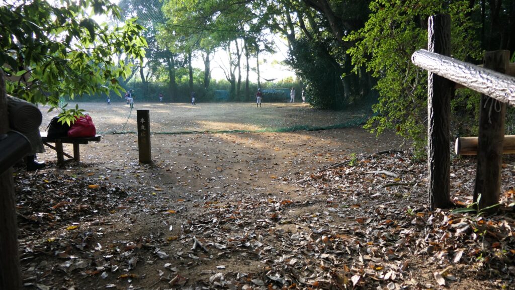
Western Enclosure used as Sports Square
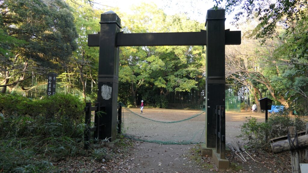
If you walk around the outer earthen walls to the left or walk over the Connecting Enclosure from the Eastern Enclosure, you will reach the Western Enclosure which is also called the Main Enclosure at the site. The inside of it is a flat square, so it is used for sports like baseball now. An altered gate called Kabuki-mon was built at the entrance of it to look like the Main Enclosure. However, in fact, historians have been arguing for over 150 years if this enclosure was really the main one. Some of them think the Eastern Enclosure was main. The excavation may find the correct answer in the future.
You can go there by turning left at the first intersectionOr walking over the Connecting Enclosure from the Second EnclosureThe Western EnclosureThe altered gate