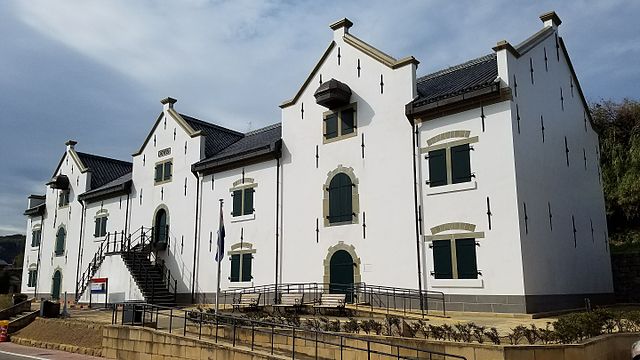
Location and History
Matsura Clan builds Former Castle
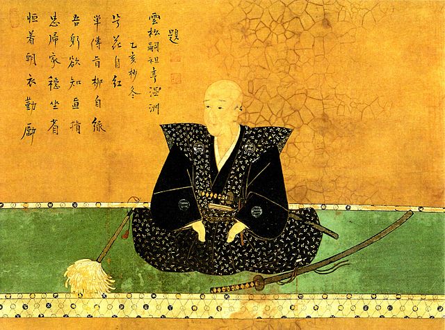
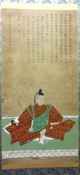
Hirado Castle is located in Hirado Island in the northwestern part of the Kyushu Region. The area around the island faces the Genkai-nada Sea between Japan and Korea. Because of this reason, the area prospered with sea transportation including overseas trade from the Ancient Times. A warriors’ group, known as the Matsuura Group, was very active using naval forces and sometimes pirates in the Middle Ages. In the 16th Century, one lord of the group, Takanobu Matsura, attained power and became a great warlord. He also supported the ruler, Hideyoshi Toyotomi and succeeded in maintaining his territory around the island.
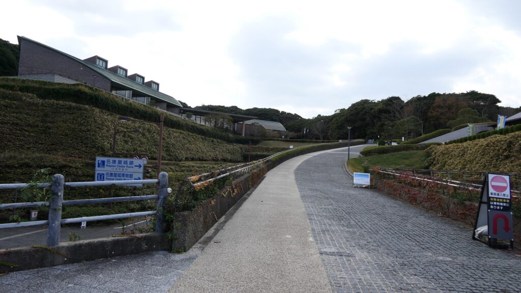
The location of the castle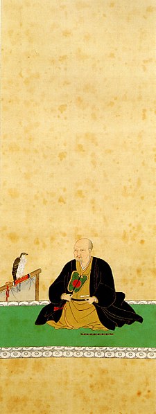
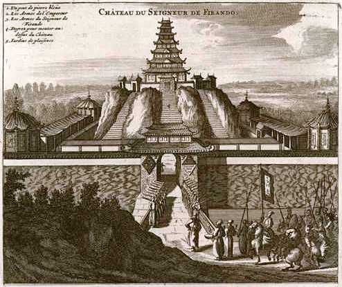
Takanobu’s son, Shigenobu became the founder of the Hirado Domain in 1600 by supporting the Tokugawa Shogunate. He also began construction of a new castle in 1599, known as Hinodake Castle, the former Hirado Castle, on Kameoka Hill at the edge of Hirado Island. Many of the details of Hinodake Castle are not known, but only an illustration of the castle, drawn by a Dutch missionary, is known to exist. According to the illustration, the castle had a spectacular tall Main Tower. However, the castle was burned down in 1613, probably just after its completion. The cause of the fire is unclear. One theory indicates Shigenobu himself burned the castle to avoid the shogunate’s doubt to Shigenobu that he might still have supported the Toyotomi Clan against the shogunate
Rise and Fall of Hirado International Port
On the other hand, the area of Hirado Domain had been prospering as an international trading port since the arrival of Portuguese ships in 1550. When the domain was established, there were both the Dutch and English trading houses beside Hirado Port. In particular, the Dutch merchants brought silk products from Taiwan in exchange for silver in Japan. They made huge profits with this trade, and the Hirado Domain could also maintain their power without the need of the castle to support it. However, the Tokugawa Shogunate ordered the merchants to destroy the trading house and move to Nagasaki in 1641. This was probably because the shogunate aimed to monopolize the trade with foreign countries. It is also thought that the shogunate feared the spreading of Christianity after the Shimabara Rebellion being started by some Christians in Japan in 1637. Anyway, the power of the Hirado Domain declined due to the shogunate’s decision.

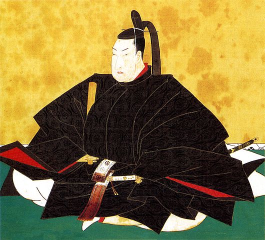
5th Lord, Takashi Matsura rebuilds Hirado Castle
Takashi Matsura, the 5th lord of the Hirado Domain, wanted to be an influencer in the Japanese political world. The Matsura Clan was one of the non-hereditary feudal lord families who were basically not able to have important roles in the central government. However, Takashi became the first commissioner of temples and shrines from the non-hereditary feudal lords in 1691. This was due to a harmonious relationship between the 5th Shogun, Tsunayoshi Tokugawa, and him. Then, his next objective was to rebuild his clan’s own castle again. Constructions of castles were basically not allowed by the shogunate to be against it. Nevertheless, the re-building of the castle was approved probably because of the good relationship with the shogun as well.
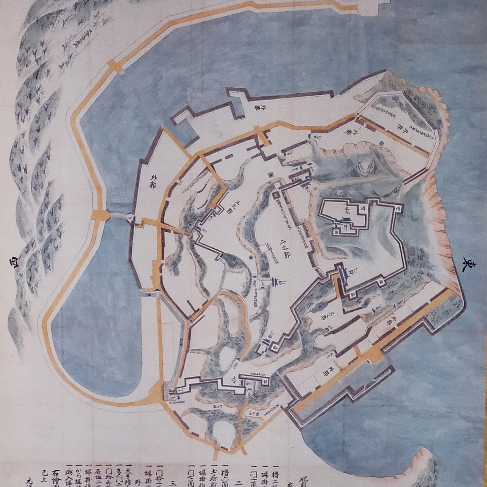
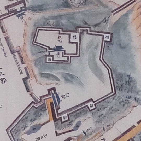
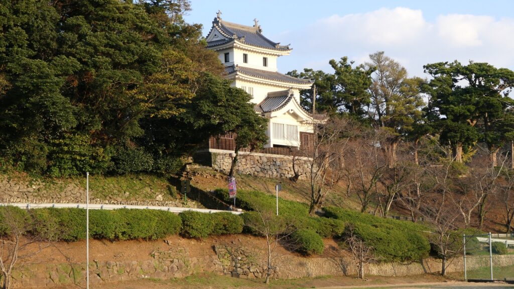
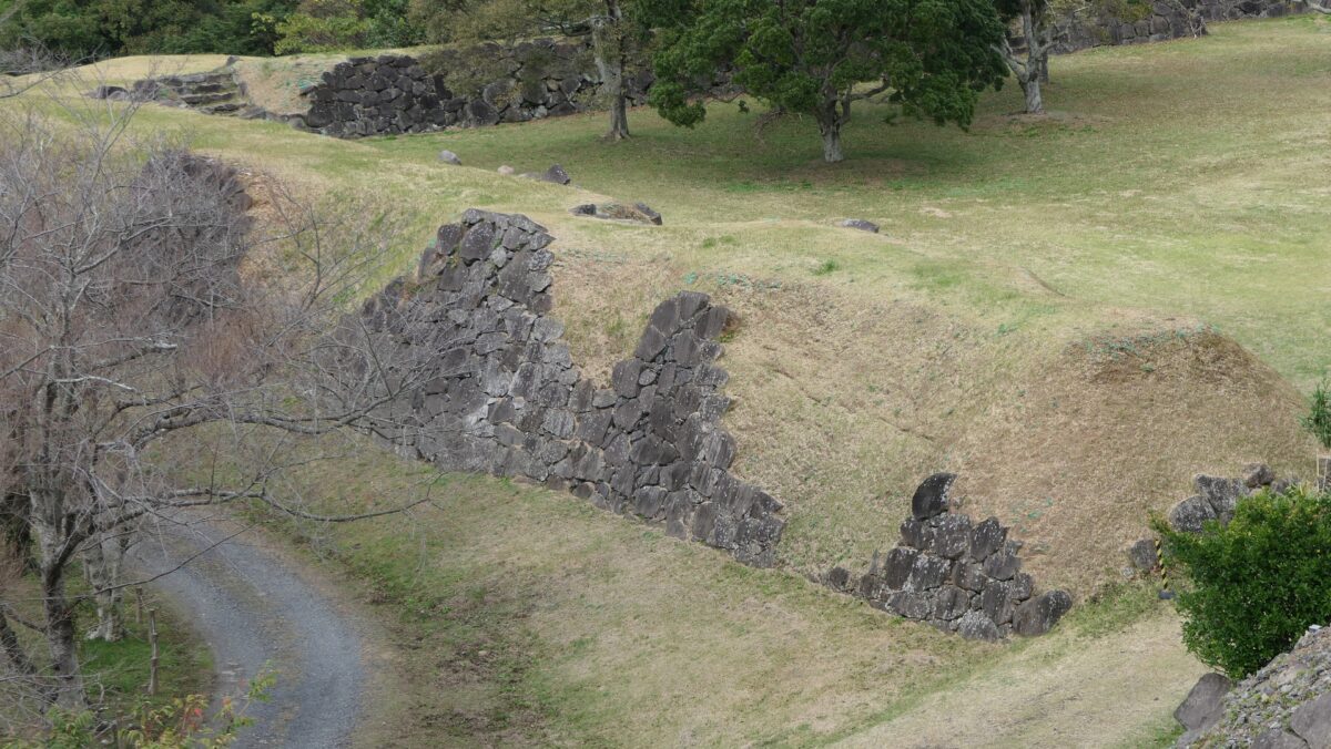
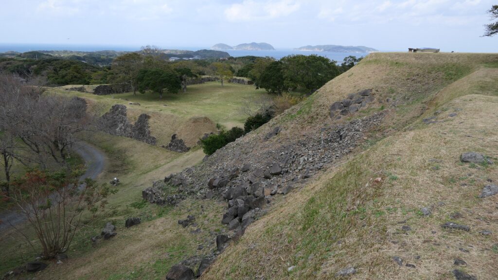
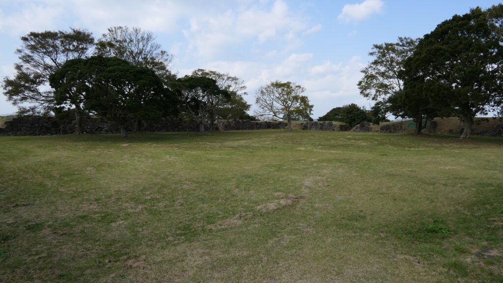
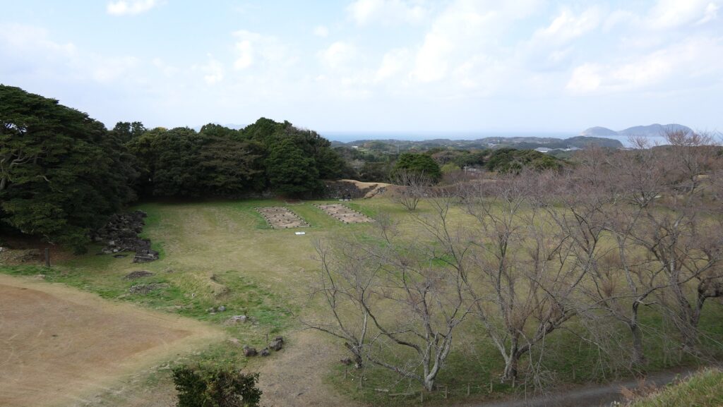
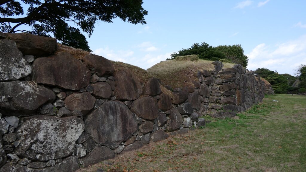
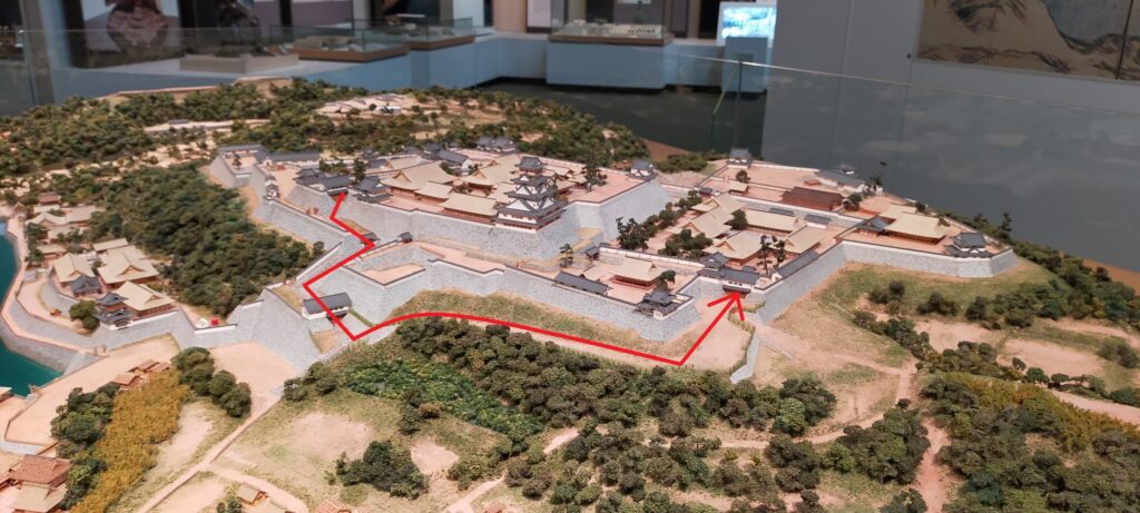
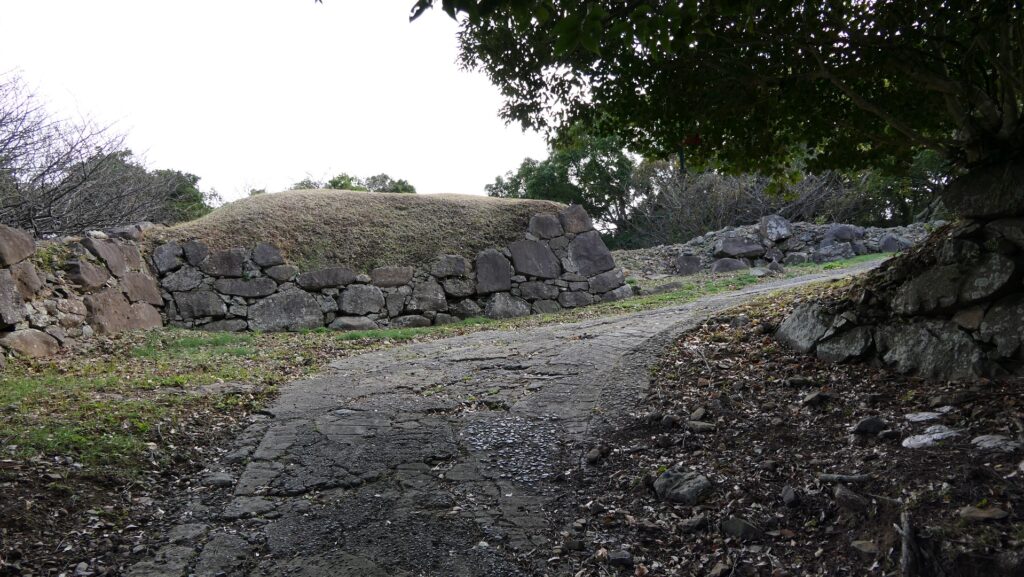
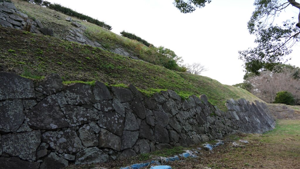
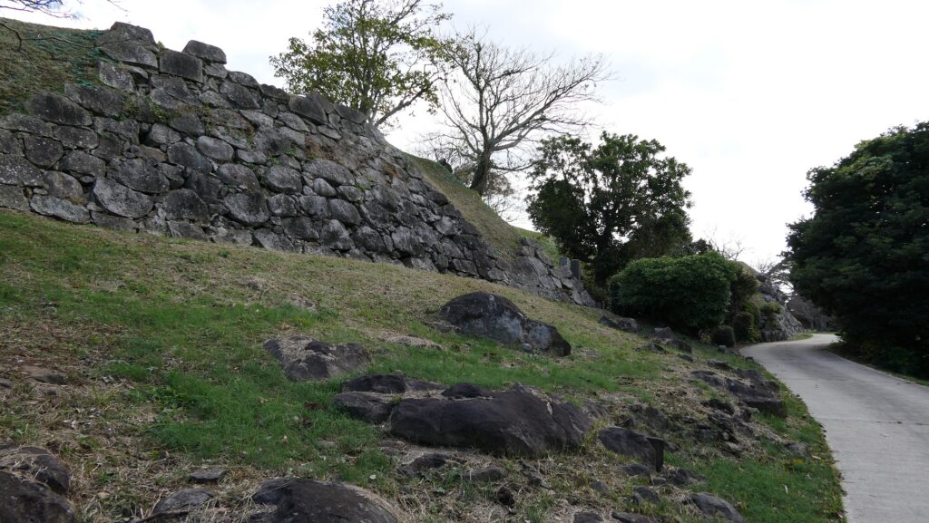
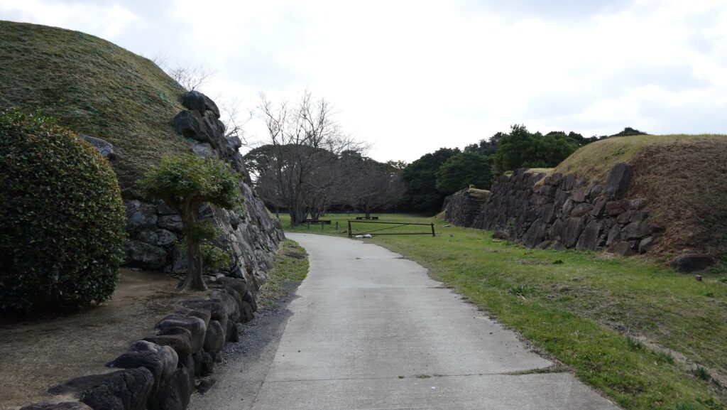
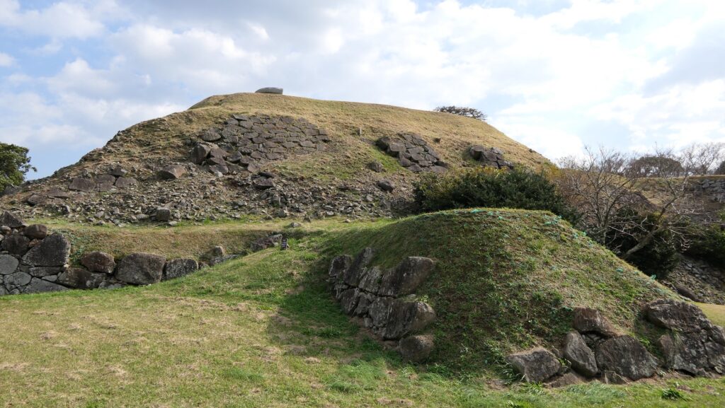
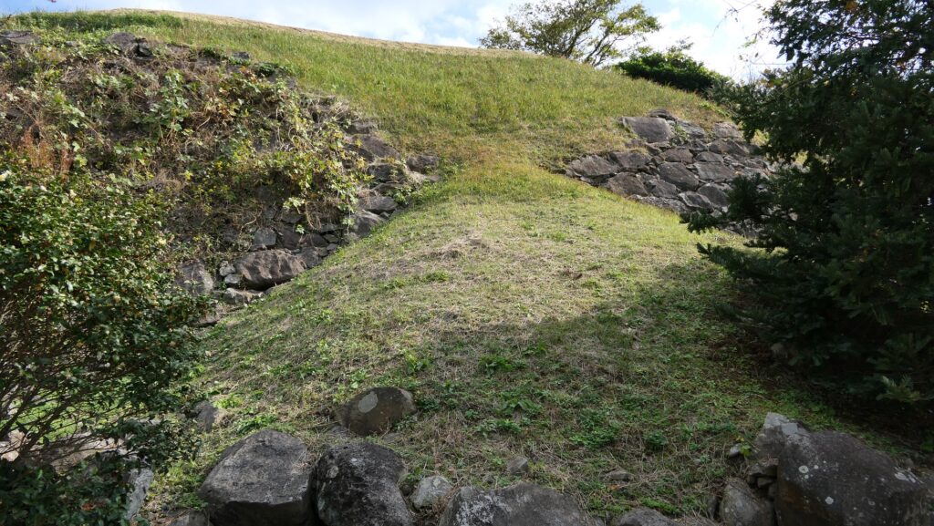
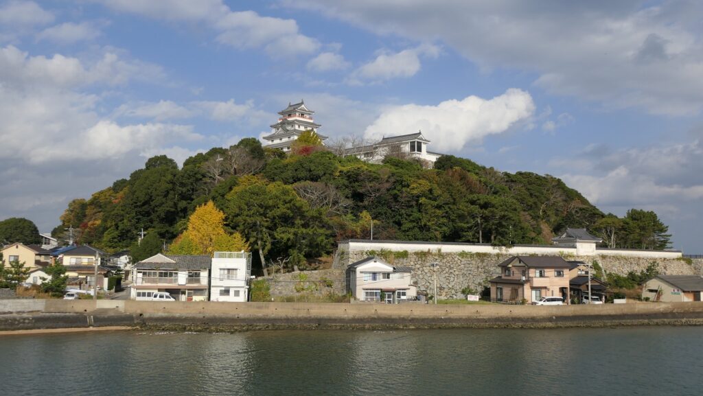
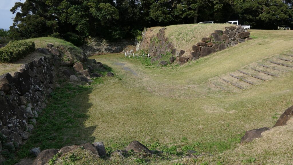
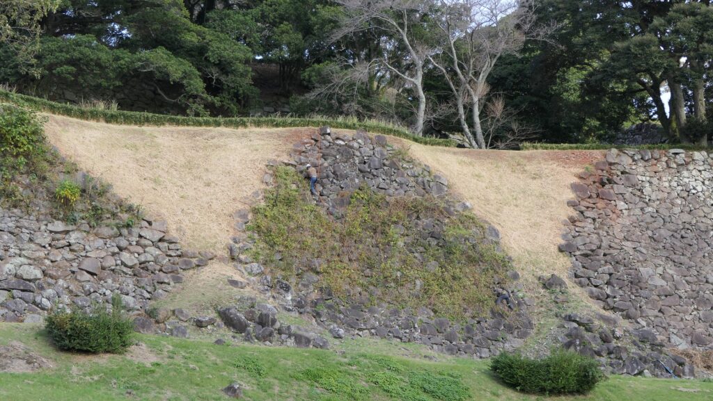
Takashi rebuilt the castle named Hirado Castle at the same place as Hinodake Castle between 1703 and 1707. It was built using an advanced military ingenuity known as Yamaga style. One of the features of the castle from this style was the use of complex formed perimeters. The castle had three enclosures from the top of the structure to the foot of the hill; the Main, Second and Third Enclosures. Each enclosure was surrounded by stone walls which bended elaborately. The reason for it is thought to eliminate blind spots for the defenders in the event of an attack. The sea facing the north, east and west sides of the castle presented a natural hazard. The Main Gate was open to the south, where there was a deep dry moat in front of the gate to prevent attacks from this direction. The rebuilt castle had no Main Tower, but instead there was the three-story turret called Inui-Yagura as the symbol of the castle in the Second Enclosure. The Matsura Clan governed the castle and the Hirado Domain until the end of the Edo Period.