Features
The map around the castleTo Castle Ruins on Top
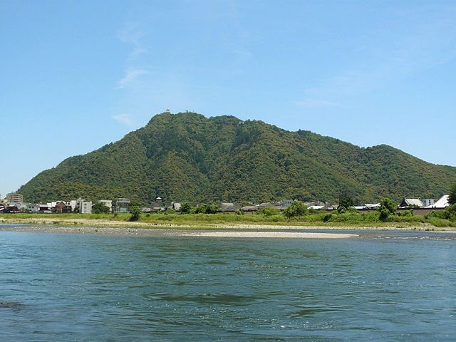
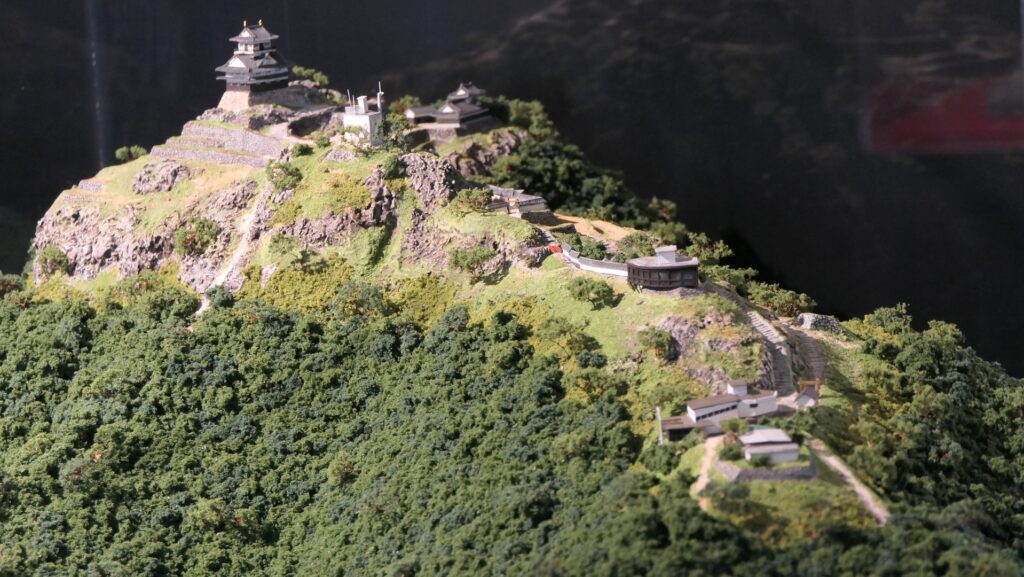
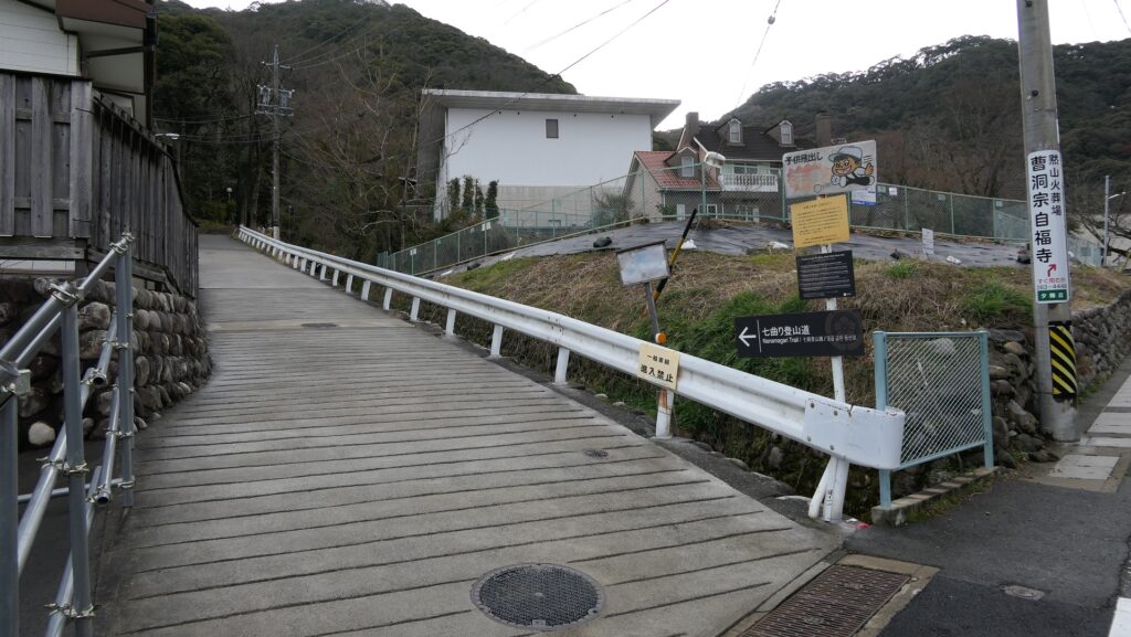
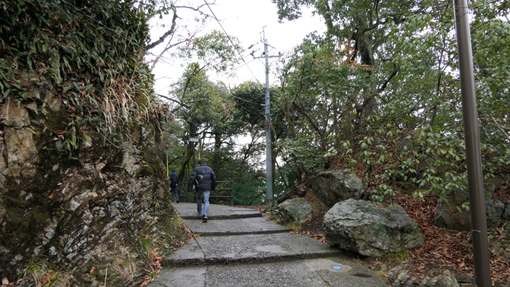
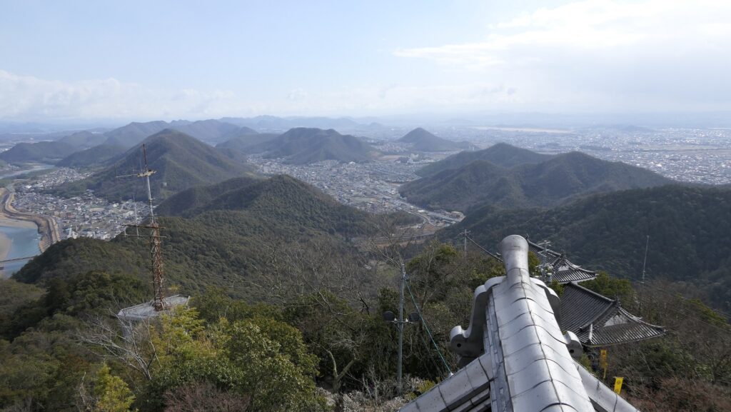
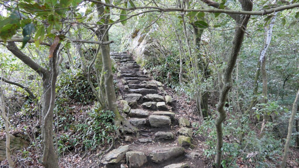
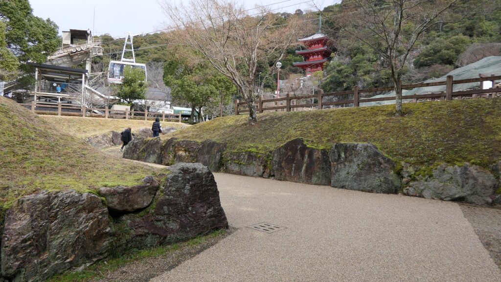
Now, the area around Mt. Kinkazan has become one of the most popular tourist spots in the Gifu Prefecture. You can easily go to the top of the mountain by the Kinkazan Ropeway. If you want to climb up there, it is common to use the Nanamagari Trail which was the Main Route for the castle. The tail is relatively gently sloped, so it takes around one hour to reach the top, climbing to about 300m from the ground.
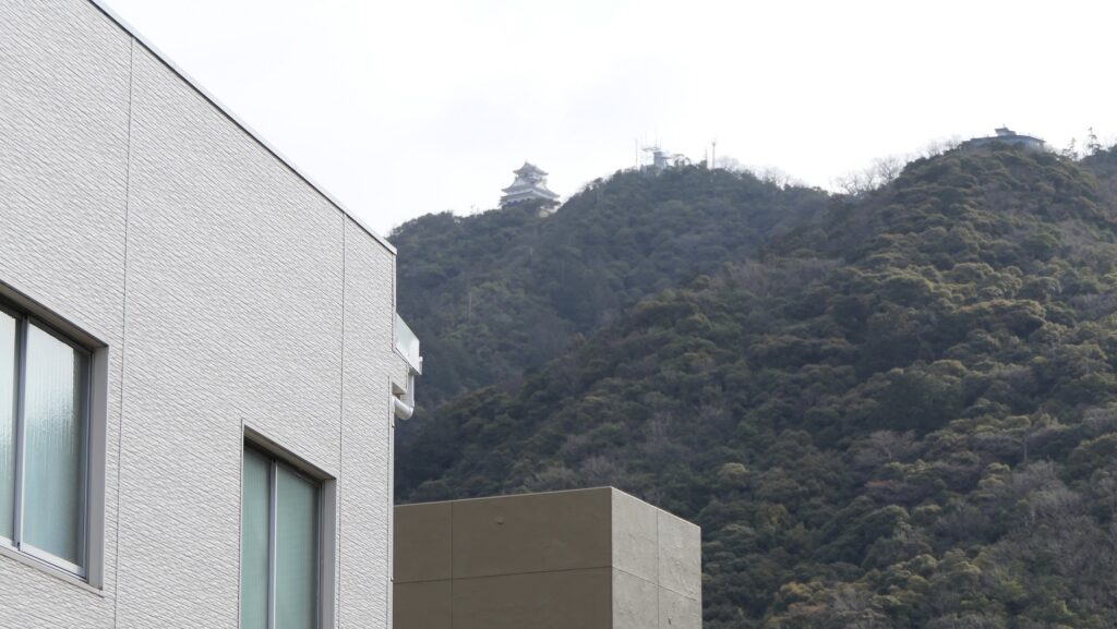
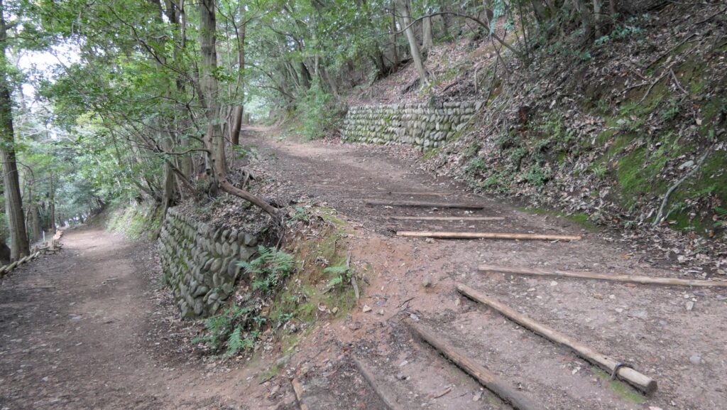
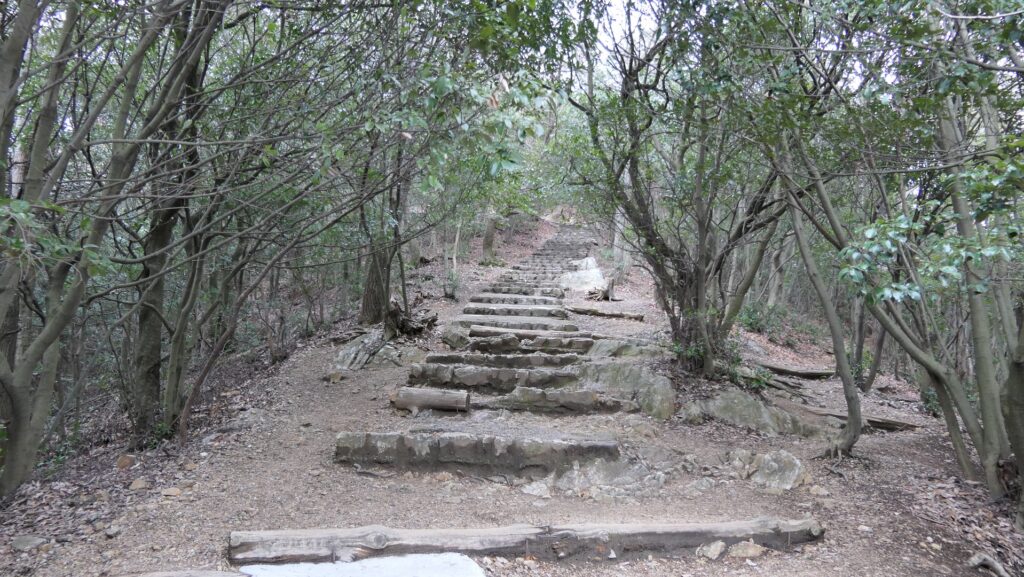
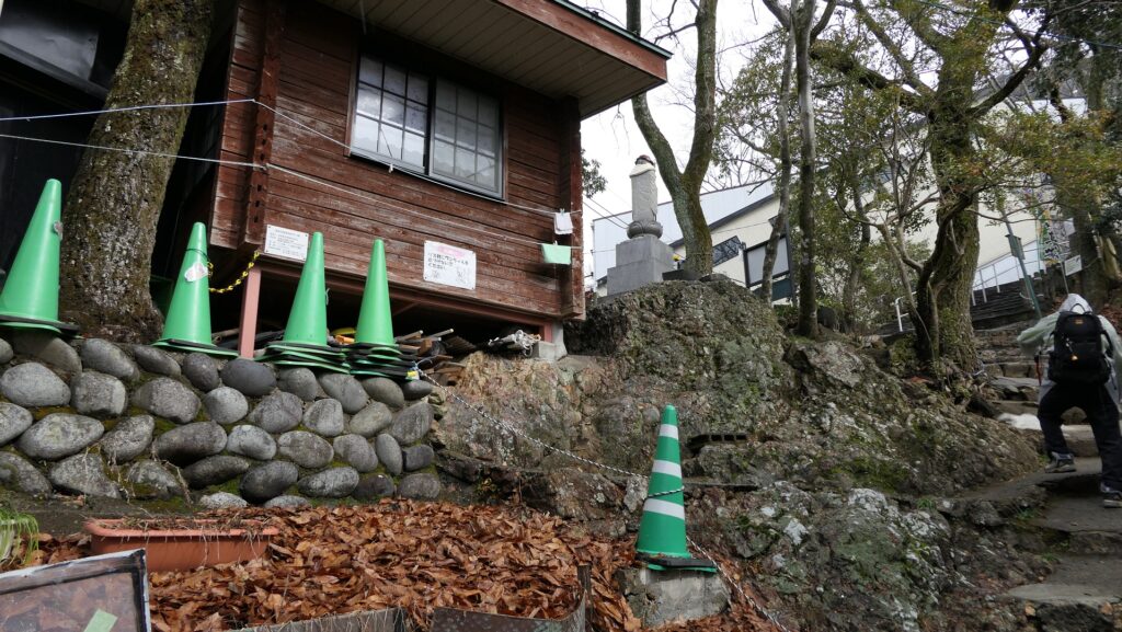
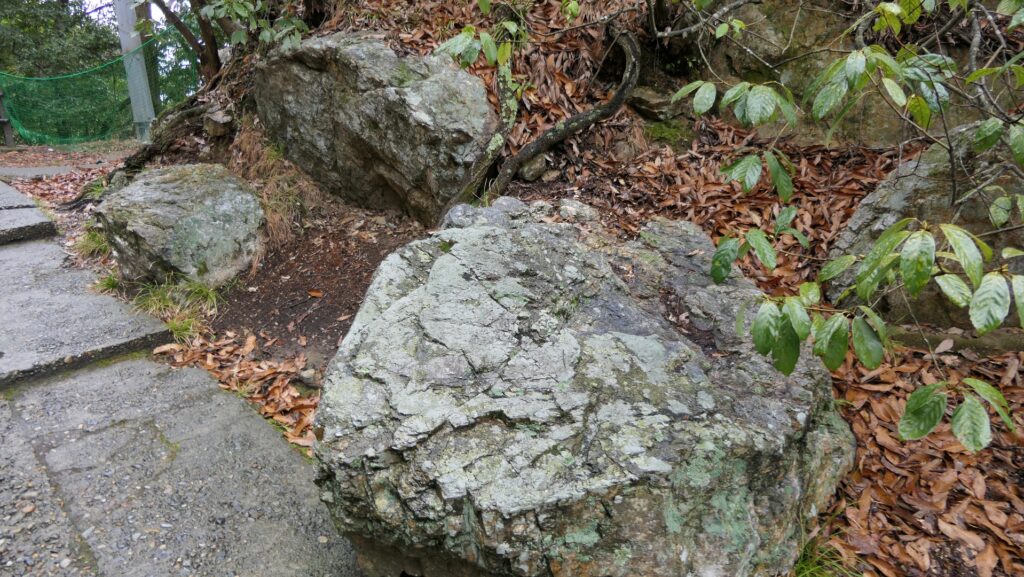
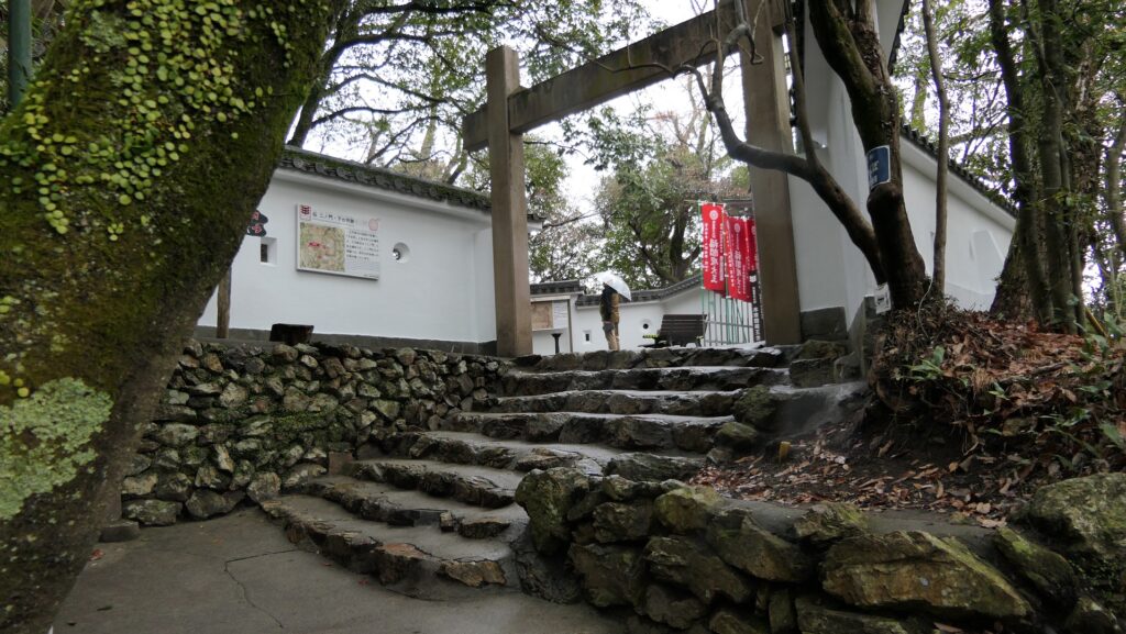
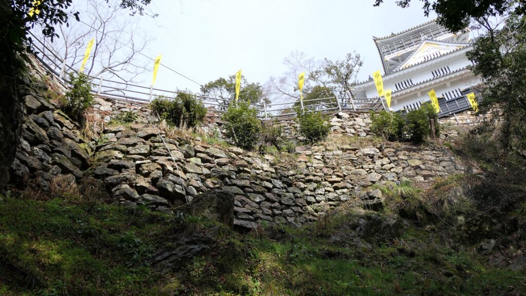
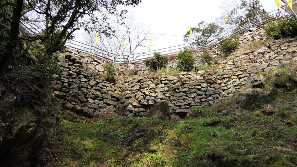
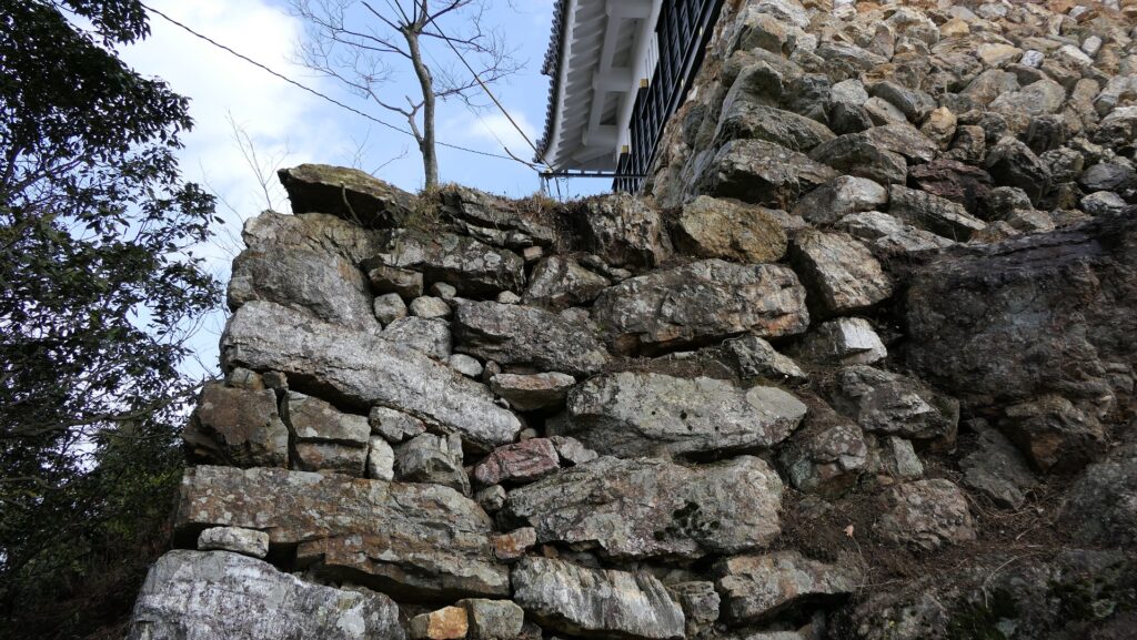
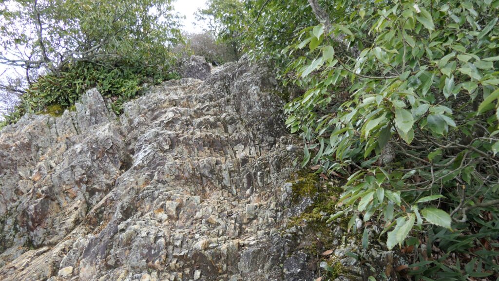
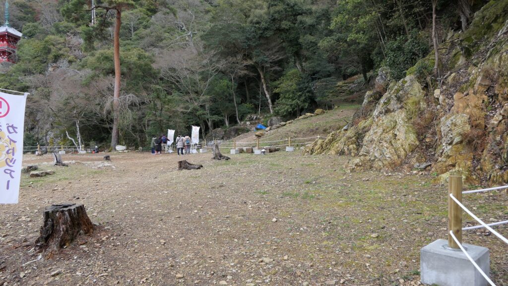
The top is actually also a tourist spot where the ropeway terminal, a restaurant, a zoo, and the imitation Main Tower stand. The routes around the top have also been paved in a modern style. However, you can see rocky surfaces made of chert everywhere on the top. As for the ruins of the castle, there are the ruins of the First Gate where the huge stones for the gate collapsed. After seeing the defensive trenches called “Horikiri”, next comes the ruins of the Second Gate. Their plaster walls have been rebuilt recently, but some of the stone walls are original. You should check out the two steps of stone walls under the route from the Second Gate to the Main Tower. The method for building the stone walls is very old, so it is thought that they were built by Nobunaga.
A Great View from Main Tower
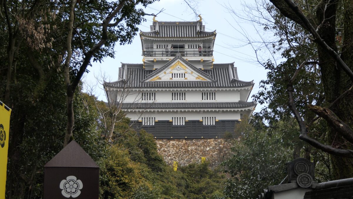
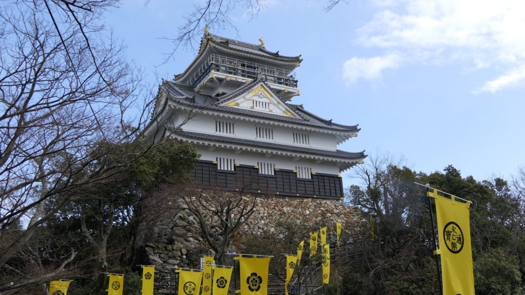
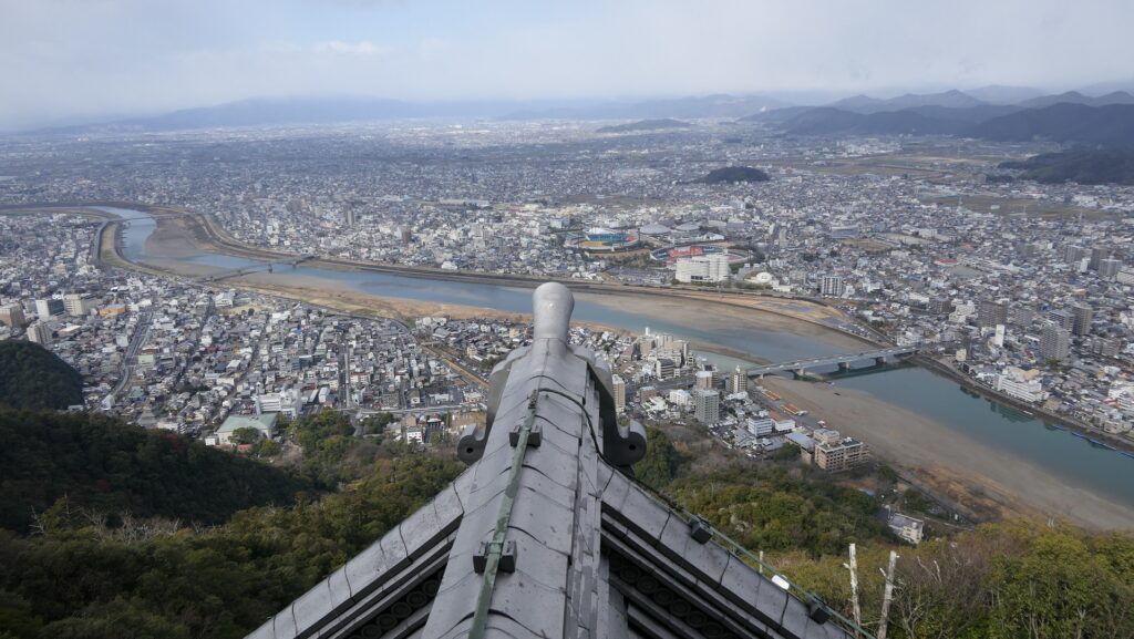
The imitation Main Tower was built in 1956, based on the drawings of the Three-Story Turret in Kano Castle. The turret was burned in the Edo Period, but there was a rumor that it might have been moved from the Gifu Castle. The interior of the tower is used as a museum which exhibits the history of the castle and Nobunaga. The top floor is also a sightseeing tower where you can see a great view of the area around, including Nagara-gawa River. The stone wall base of the tower looks very old. In fact, the stones are original, but the style is not, as the stones were re-piled when the tower was rebuilt.
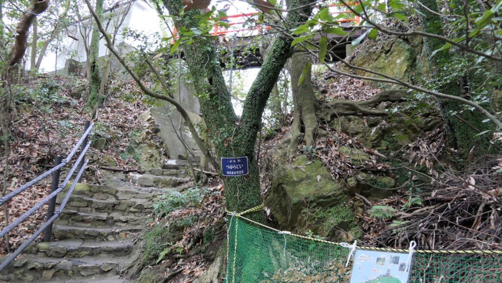
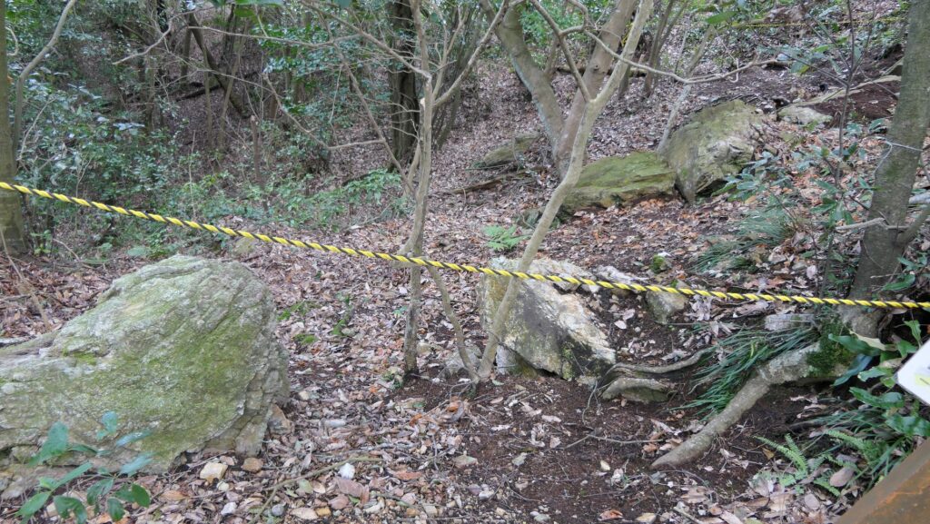
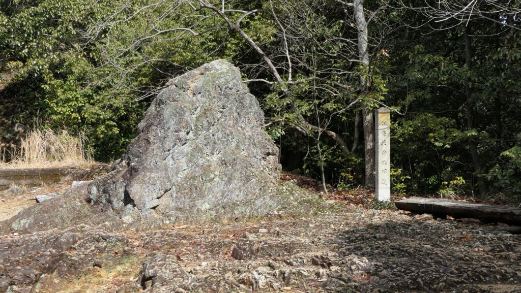
You can also climb down on another tail, for example, from the ruins of the Back Gate. The gate also used huge stones of which you can see the remains on the route. After going down for a while, you can also see the huge, holy rock called “Eboshi-iwa”. The Inaba Shrine was originally located around the rock.
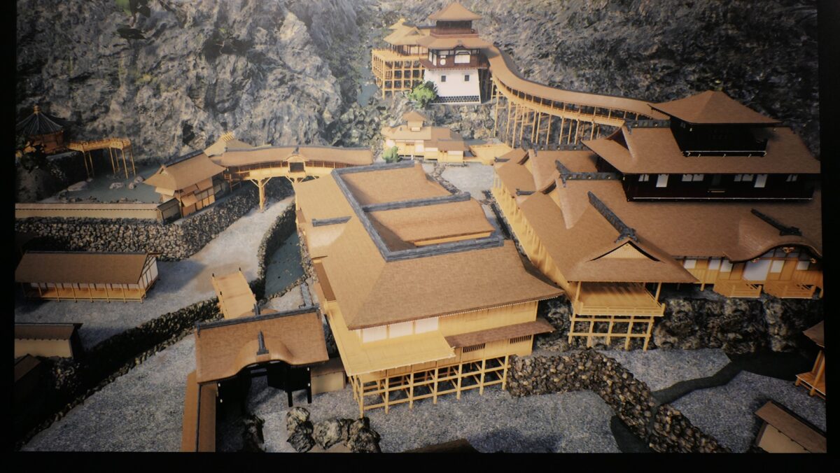
Ruins of Nobunaga’s Residence
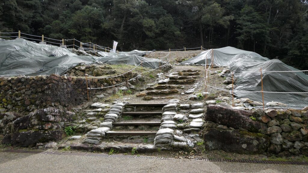
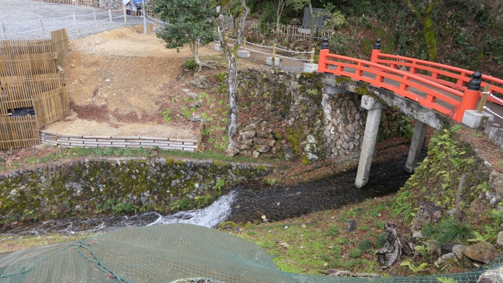
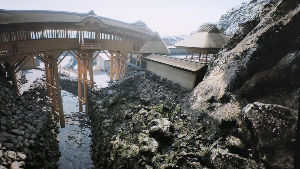
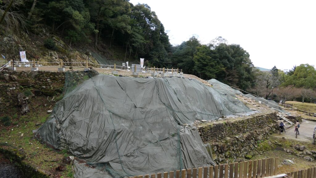
At the foot of the mountain, I recommend that you visit the ruins of Nobunaga’s palace residence, because, in fact, it might have been the center of the castle. At the entrance, you can see the remains of the alternate huge stones which were 1.7m high in the past. Walking up the stairs around the terraced stone walls, there is an empty spacious space where the main building was constructed. In the back of it, there were also buildings for the tearoom and sightseeing with an artificial water garden using huge stones. Another pond garden was next to it, and an artificial river flew from the fountain between them. Moreover, these gardens were connected to the main building by the air corridors. Nobunaga seemed to use his palace residence for official ceremonies and for hosting important visitors.

To be continued in “Gifu Castle Part3”
Back to “Gifu Castle Part1”