9.久保田城~Kubota Castle

佐竹氏による土造りの城
The castle made of earth by the Satake Clan

立地と歴史~Location and History

佐竹氏が新しく作った城~New Castle Satake Clan built

佐竹氏は古代の終わり頃から常陸国(現在の茨城県)を拠点としてきました。16世紀後半、彼らは水戸城に住み、その領土は54万8千石もの石高に相当しました(その当時の日本で8番目の大大名)。ところが、1602年に徳川幕府により東北地方の秋田に移されてしまいます。1600年に起こった関ヶ原の戦いにおいて、幕府をはっきりとは支持しなかったからです。その領土は20万石まで削減されましたが、新しい土地で新しい城を築くことを決心しました。それが久保田城でした。
The Satake Clan had been based in Hitachi Province (what is now Ibaraki Prefecture) since around the end of the Ancient times. In the late 16th century, they lived in Mito Castle and their territory was worth as much as an earning of 548 thousand Koku in rice (the 8th largest lord in Japan at that time). However, they were transferred to Akita in Tohoku Region by the Tokugawa Shogunate in 1602, as they didn`t firmly support the Shogunate when Battle of Sekigahara happened in 1600. The size of their territory was reduced (to 200 thousand Koku in rice), but they decided to build their new castle in the new land. This was Kubota Castle.

城の位置~The location of the castle

お家芸だった土の城~Building Castles of earth was their Specialty

久保田城は、旭川沿いの標高40mの神明山の上に築かれました。この城には天守はなく、ほとんどが土造りによるものでした。その理由としては、佐竹氏には石垣や天守を作る技術がなかったからとか、幕府の権威を恐れたためと言われてきました。佐竹氏が秋田に移った当時は、他の大名たちにとっては、石垣と天守がある城を作るのが普通でした。しかしながら、土造りの城を作ることは佐竹氏のお家芸だったのです。その証拠として、水戸城も挙げられます。佐竹氏はそこで技術を進化させ、佐竹氏の後の徳川氏はその土造りの城を最後まで使い続けました。佐竹氏は土造りだけで強力な城を作ることができたのです。
Kubota Castle was built on a 40m high mountain called Shinmei-yama alongside Asahigawa River. The castle was almost all made of earthworks with no Main Tower. It has been said that the reason for it is that Satake had no ability and techniques for building stone walls and a Main Tower, or they feared the Shogunate`s authority. In the same period as Satake moved to Akita, it was usual for other lords to build a castle with stone walls and a Main Tower. However, building a castle of earthworks was the specialty of the Satake Clan. There is evidence also with Mito Castle, Satake Clan improved this technique, and it was used by the Tokugawa Clan following Satake as a castle of earthworks till the end. That meant Satake could build a strong castle using only earthworks.
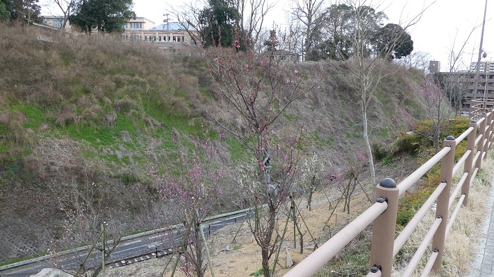
土造りの水戸城~Mito Castle made of earthworks

自然地形を生かした巧みな配置~Clever Arrangement using Natural Terrain

城の中心部は、内堀に囲まれ、二段になっていました。上段は「本丸」であり、下段は「二の丸」になっていました。中心部の周りは「三の丸」となっていて、外堀に囲まれていました。更には、三の丸の外側且つ川の内側には「西曲輪」「北の丸」が設置されていました。本丸には御殿があり、領主が住んでいました。本丸には5つの門がありましたが、外部からは二の丸を通らなけらば行けないようになっていました。佐竹氏は、自然の地形を生かしながら巧みな配置を行い、20年以上の工事の後、城を完成させました。
The center of the castle had two tiers, surrounded by the inner moat. The upper tier was called “Honmaru” or the Main Enclosure, and the lower tier was called “Ninomaru” or the Second Enclosure. Around the center, there was “Sannnomaru” or the Third Enclosure, surrounded by the outer moat. In addition, “Nishikuruwa” or the Western Enclosure and “Kitanomaru” or the Northern Enclosure were placed outside the Third Enclosure inside the river. The Main Enclosure had the Main Hall where the lord lived, and four turrets instead of the Main Tower. It also had five gates, but anyone from the outside the castle had to go through the Second Enclosure to reach it. Satake complete the castle with clever arrangement and using natural terrain after over 20 year construction.

出羽国秋田郡久保田城画図部分、江戸時代~Part of the illustration of Kubota Castle in Akita District, Dewa Province, the Edo Period(出典:国立公文書館)

佐竹氏は江戸時代の期間中、久保田藩を統治しましたが、その支配は安定しませんでした。秋田は強風地帯であり、藩の民衆は風害による飢饉や、洪水や風雨による被害に苦しみました。これらにより一揆が頻発し、藩は予算不足に陥りました。久保田城も度々火災に見舞われますが、その都度再建されました。
Satake governed their Kubota Domain all through the Edo Period, but their governance was not stable. Akita was a very windy area, so the people of the Domain suffered several famines from dry winds, flood and water damage. It often caused riots, as a result, the Domain lacked resources. Kubota Castle also suffered fires, but was repaired and restored each time.
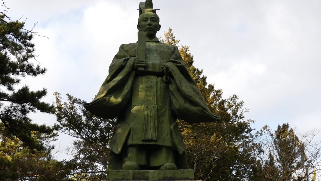
最後の藩主、佐竹義堯の銅像、千秋公園~The statue of Yoshitaka Satake, the last lord of Kubota Domain

特徴~Features

城周辺の航空写真~The aerial photo of around the castle

城跡の千秋公園へ~To Senshu Park as Castle Ruins

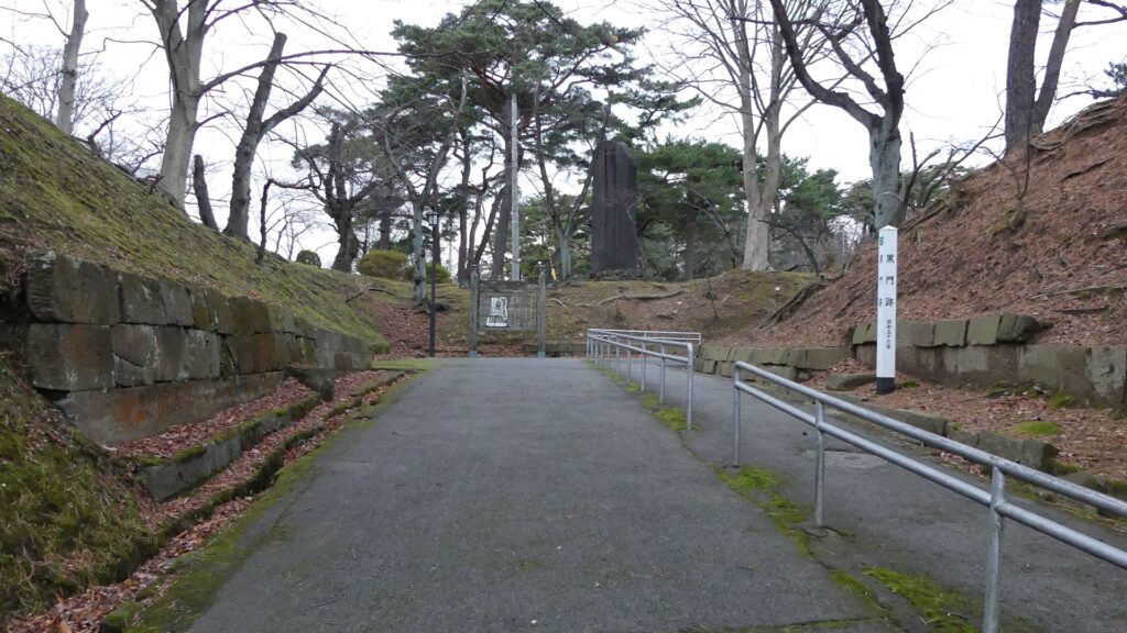
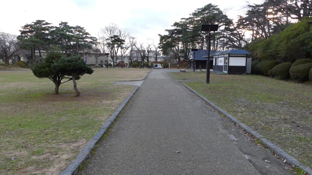
現在、久保田城跡は千秋公園となっています。観光客は通常南から中土橋を通って現存する外堀を渡って三の丸や二の丸に向かいます。過去は東側にある黒門が城の正門でした。二の丸には広い敷地があり、かつては官庁や倉庫などの建物がありました。佐竹史料館では、久保田藩や佐竹氏に関する展示を行っています。
Now, the ruins of Kubota Castle has become Senshu Park. Visitors usually go across the remaining Outer Moat through Nakadobashi Bridge on the south to the Third and Second Enclosures. In the past, Kuro-mon Gate on the east was the front entrance of the castle. The Second Enclosure has a large space where buildings such as offices and warehouses were built. Satake Historical Museum exhibits the histories of Kubota Domain and the Satake Clan.
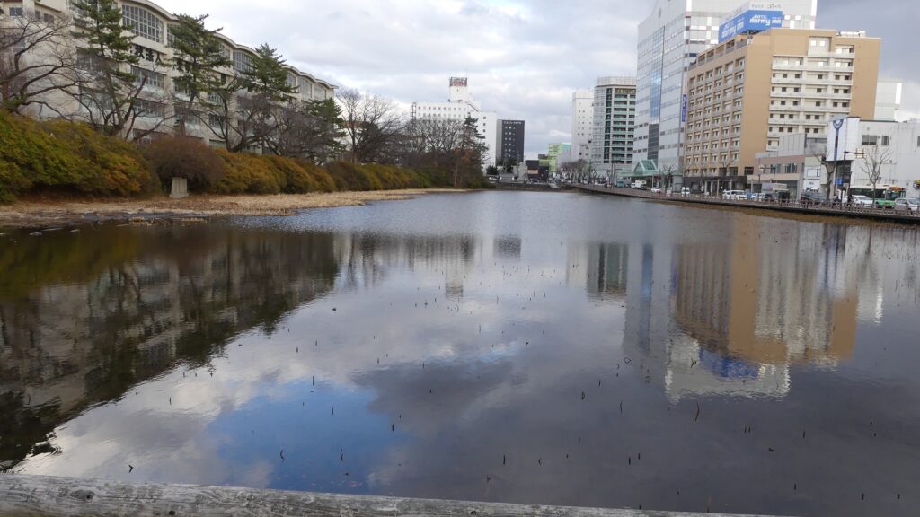
外堀~The Outer Moat
城に向かう道~The road to the castle
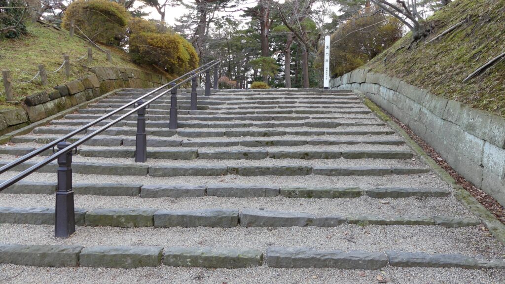
黒門跡~The ruins of Kuro-mon Gate
二の丸~The Second Enclosure

本丸への長い坂~Long Slope to Main Enclosure

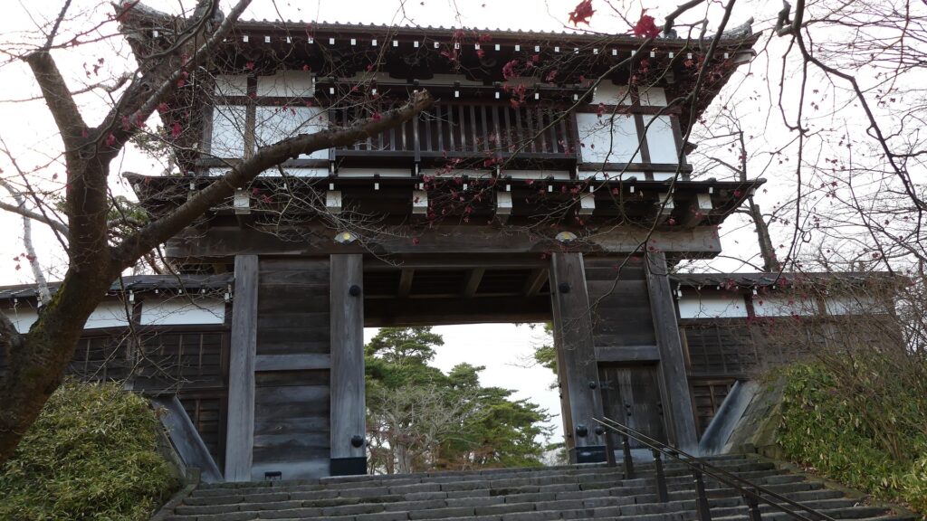
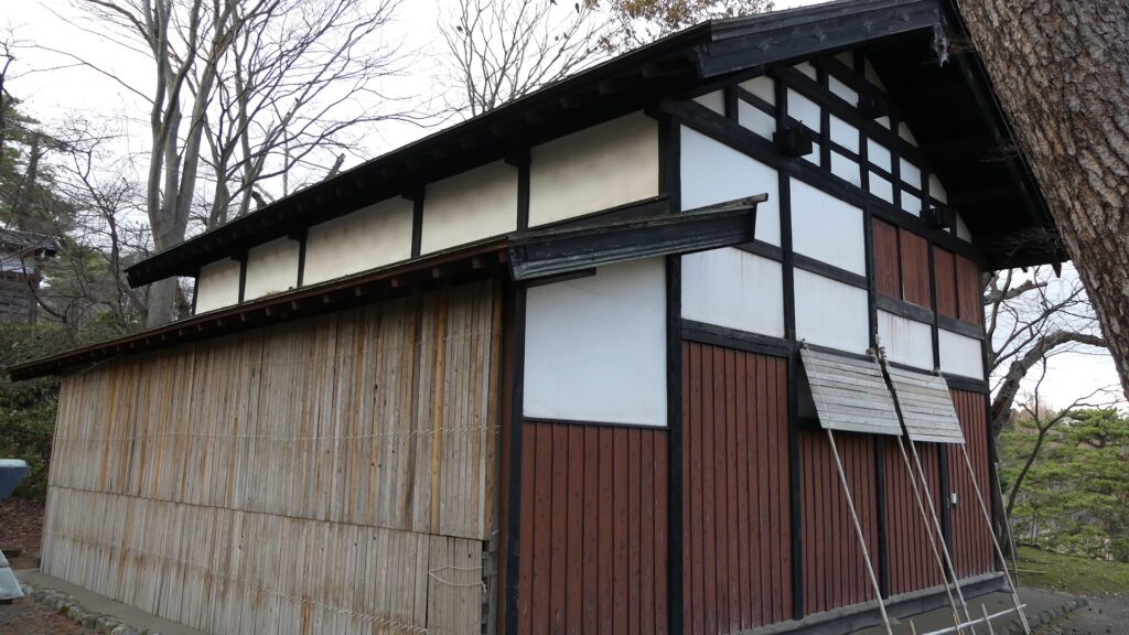
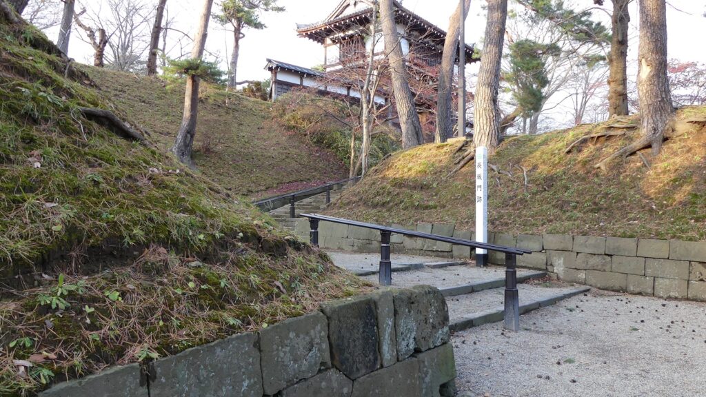
本丸へは、「長坂」と呼ばれる長く曲がりくねった階段を通って登っていきます。この場所はとても重要だったため、一部石垣が使われています。「長坂門」という門がちょうど曲がっている箇所に立っていました。階段を登り切った所には、本丸の正門である表門が復元されています。門の傍らには「御物頭御番所」という警護所が城で唯一の現存建物として残っています。
You can walk up to the Main Enclosure through a long and curved stairways called “Nagasaka” or the Long Slope. Stone walls have been partly used, as this spot was very important. A gate called “Nagasaka-mon” stood at the curved part. At the end of the stairways, Omote-mon Gate, the front gate of the Main Enclosure has been restored. There is the guardhouse called “Omono-gashira Gobansho” which is the only remaining building in the castle beside the gate.
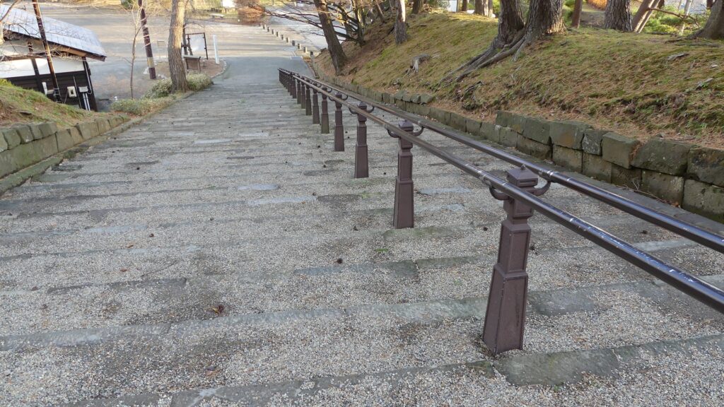
長坂~The Long Slope
長坂門跡~The ruins of Nagasaka-mon Gate
復元された表門~The restored Omote-mon Gate
現存している御物頭御番所~The remaining guardhouse

土造りの本丸~Main Enclosure made with Earthworks

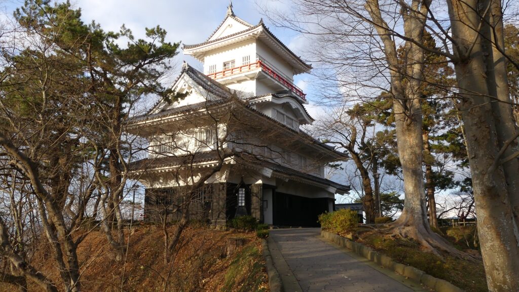
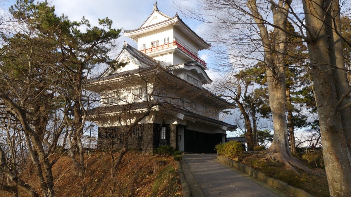
本丸の中心には神社と最後の領主の銅像があります。城のようには見えないかもしれませんが、本丸を歩き回ってみれば、城の基礎は土だけですが、とても頑丈にできていることがわかると思います。櫓の一つ、御隅櫓が曲輪の北西角に再建されています。見晴らしをよくするために、元あったものより高く作られています。本丸にはいくつか出入口があるので、登ったり降りたりしてみると、この城がいかに自然の地形をうまく生かしているかが見て取れるでしょう。
The center of the Main Enclosure has a shrine and the statue of the lord of the castle. It may not look like a castle, however if you walk around the Enclosure, you can find the foundation of the castle is made of only earth, but strongly. One of the turrets, Osumi-yagura Turret has been rebuilt at the northwest corner of the Enclosure. It is built much higher than the original one for viewing. The Enclosure has several entrances such as the Back Gate, so you can also walk up and down enjoying how the castle uses natural terrain cleverly.
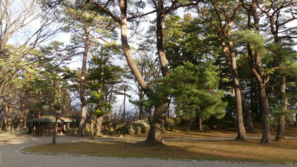
本丸~The Main Enclosure
再建された御隅櫓~The rebuilt Osumi-Yagura Turret
裏門跡~The ruins of the Back Gate
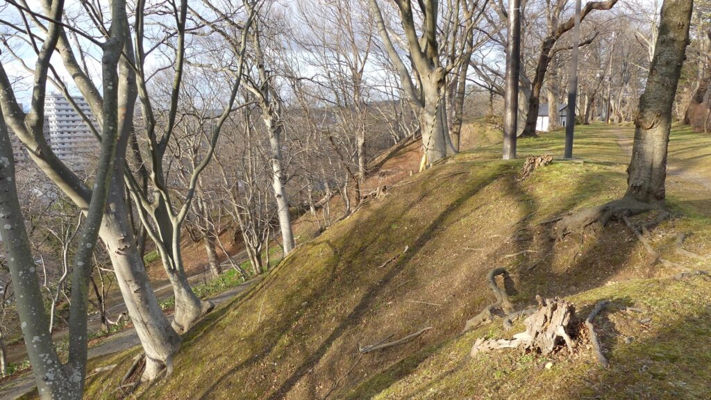
本丸の土塁~The earthen walls of the Main Enclosure

その後~Later History

明治維新後、久保田城は1872年に秋田県庁舎となりました。この城はまた、秋田県と秋田市の始まりともなったのです。ところが、1880年にほとんどの城の建物は燃えてしまいます。1890年になって以前の領主、佐竹氏が城跡を買い上げ、秋田市に土地を公園として貸し出し、千秋公園と名付けられました。久保田藩の元藩士たちは1892年に公園に桜の苗を寄付しました。そのため、公園は桜の花でも有名になっています。
After the Meiji Restoration, Kubota Castle became the Akita prefectural office in 1872. That meant the castle also was the origin of Akita Prefecture and Akita City. However, most of the castle buildings were burned down in 1880. In 1890, the former lord, Satake Clan bought the castle ruins and lent the land to Akita City as a park named Senshu Park. Former warriors of the Kubota Domain donated cherry plants for the park in 1892, so that’s why the park has also become famous for its cherry blossoms.
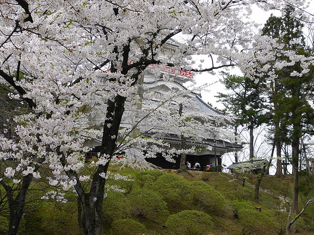
御隅櫓と桜~Osumi-Yagura Turret with cherry blossoms(licensed by アラツク via Wikimedia Commons)

私の感想~My Impression

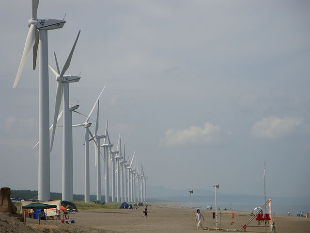
久保田城跡は、かつて近代公園として整備されたため、単なる公園としてしか見えないかもしれません。城跡の基礎部分をよく見れば、本当は土でできた城だとも気付いていただけると思います。この城と、これも佐竹氏が築いた水戸城とを比べてみるのもいいでしょう。秋田県は今、かつては苦しめられた風が強い気候を生かし、風力発電を推進しています。一方、現職(2021年3月現在)の秋田県知事は佐竹氏の子孫の方です。秋田は、伝統と革新の両方を重んじているようです。
You may find the ruins of Kubota Castle just like a park, because they were once developed as a modern park. You can also find the ruins was really a castle made of earth if you look at the foundation of the ruins carefully. It may be a good idea to compare this castle with Mito Castle that the Satake Clan built as well. Akita Prefecture is now developing lots of wind farms using the windy climate that they suffered from in the past. On the other hand, the governor of Akita Prefecture right now (Mar2021) is a descendant of the Satake Clan. I think Akita is trying to take good care of both tradition and innovation.
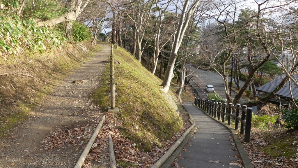
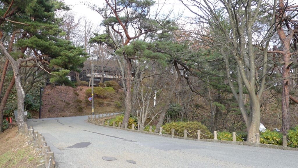
本丸に登る小径~The trail to the Main Enclosure
秋田県の風力発電所~A wind farm in Akita Prefecture(licensed by 8-Forest via Wikimedia Commons)

ここに行くには~How to get There

城跡までは、JR秋田駅西口から歩いて約10分です。
東京から秋田駅まで:秋田新幹線に乗ってください。
車で行く場合:秋田自動車道の秋田中央ICから約20分です。千秋公園に駐車場があります。
It takes about 10 minutes from the west entrance of JR Akita station to the castle ruins on foot.
From Tokyo to Akita st.: Take the Akita Shinkansen super express.
If you want to go there by car: It takes about 20 minutes from the Akita-Chuo IC on Akita Expressway. Senshu Park offers a parking lot

リンク、参考情報~Links and References

久保田城、秋田市公式サイト(Akita City Official Website)
・「よみがえる日本の城9」学研(Japanese Book)
・「日本の城改訂版第60号」デアゴスティーニジャパン(Japanese Book)

55.千早城~Chihaya Castle

典型的な日本の山城の原点
The origin of typical Japanese mountain castles

立地と歴史~Location and History

楠木正成の活躍~Activities of Masashige Kusunoki

楠木正成は14世紀に河内国(現在の大阪府東部)を根拠地とした有力武将でした。彼は最初は、中世に武士のための政権を担った鎌倉幕府に仕えていました。しかし、1331年に後醍醐天皇が幕府に反抗したとき、正成は天皇を助け、赤阪城で幕府と戦いました。ところが、この城は急ごしらえで、敵と戦うには不十分であったこともあり、正成は敗走せざるを得ず、そして姿をくらましました。天皇は幕府に捕らえられ、日本海の隠岐の島に配流されました。
Masashige Kusunoki was a great general based in Kawachi Province (what is now the eastern part of Osaka Prefecture) in the 14th century. He first worked under the Kamakura Shogunate, a government body for warriors in the middle ages, but when Emperor Godaigo was against the Shogunate in 1331, he supported the Emperor fighting with the Shogunate in Akasaka Castle. However, the castle was built in a hurry and wasn’t very strong enough to protect against enemies, so Masashige had to run away and disappear. The Emperor was caught by the Shogunate and brought to Okinoshima Island in Japan Sea.

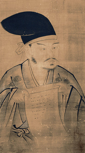
楠木正成肖像画、狩野山楽筆、楠枇庵観音寺蔵~The portrait of Masashige Kusunoki, attributed to Sanraku Kano, owned by Nanpian Kannonji Temple(licensed under Public Domain via Wikimedia Commons)
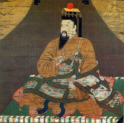
後醍醐天皇肖像画、清浄光寺蔵~The portrait of Emperor Godaigo, owned by Shojokoji Temple(licensed under Public Domain via Wikimedia Commons)

1333年、正成は雪辱を期し、上赤阪、下赤阪、そして千早といった城のネットワーク作りを開始しました。千早城は、その内で詰めの城の役割でした。この城は、河内と大和国(現在の奈良県)を結ぶ千早街道沿いにあり、日本の山岳修業の流派である修験道の場として知られた金剛山へ向かう途上にありました。そしてこの城は、全面を谷に囲まれた峰の上に位置していました。
In 1333, Masashige wanted to take revenge, so he started making his new network of castles: Kami-Akasaka, Shimo-Akasaka, and Chihaya. Chihaya Castle was the last one of the network. It was located alongside Chihaya Road connecting Kawachi and Yamato (now Nara Prefecture) Provinces, and
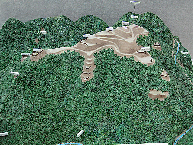
on the way to Mt. Kongosan which was known for the training of Shugen-do, i.e., Japanese mountain asceticism. The castle was also on one peak, surrounded by valleys on all sides.

城の位置~The location of the castle

千早城の模型、千早赤阪村郷土資料館蔵~The miniature model of Chihaya Castle, owned by Chihaya-Akasaka Folk Museum(licensed by Wikiwikiyarou via Wikimedia Commons)

千早城の戦い~Siege of Chihaya

正成と僅か千名の兵士からなる部隊は、千早城に籠城し、幕府の大軍から何回も攻められました。 これは千早城の戦いと呼ばれ、日本で最初の本格的な山城での戦いでした。幕府軍の武士たちはこのような戦いでどう攻撃してよいかわからず、陣地や攻めどころといった戦略や計画もなく、しゃにむに城に突進していきました。正成とその部下たちは、敵と戦うのに大抵は盾や矢を使ったのですが、更には岩、丸太、油と火、煮えた汚物までも使って幕府軍を撃退したのでした。また、夜襲をかけて、敵を更に疲弊させました。この籠城戦は3ヶ月間続きます。
Masashige, with his small army of one thousand soldiers, was besieged in Chihaya Castle, by the massive Shogunate troops several times. It is called Siege of Chihaya, and it is the first big battle to occur in a mountain castle in Japan. The shogunate warriors didn’t know how to attack in such a battle, so they straightaway charged the castle without any strategies or planning, with regards to position or location of attack. Masashige and his army mostly used shields and arrows in order to fight the enemies. In addition, they also used rocks, logs, oil and fire, and even boiled filth to repel the Shogunate. They also delivered night attacks to further tire the enemies. The siege lasted for three months.

千早城合戦図、歌川芳員筆、江戸時代、湊川神社蔵~The illustration of Siege of Chihaya, attributed to Yoshikazu Utagawa, in the Edo Period, owned by Minatogawa Shraine(licensed under Public Domain via Wikimedia Commons)

籠城戦の間、後醍醐天皇は島を脱出し、幕府の配下を含む全ての武士たちに協力を求めました。そして足利尊氏や新田義貞といった幕府の有力な部将たちが天皇方についたのです。千早城を攻撃していた軍勢はそれを聞き、撤退していきました。ついに正成は勝利し、幕府は千早城の籠城戦が終わってからわずか12日後に滅びました。
During the siege, Emperor Godaigo escaped from the island, and requested all the warriors, even those that backed Shogunate, to support him. Some influential retainer of the Shogunate, such as Takauji Ashikaga and Yoshisada Nitta, took sides with the Emperor. The troops attacking Chihaya heard about it and withdrew. Finally, Masashige won and the Shogunate was destroyed in just 12 days after the Siege of Chihaya ended.

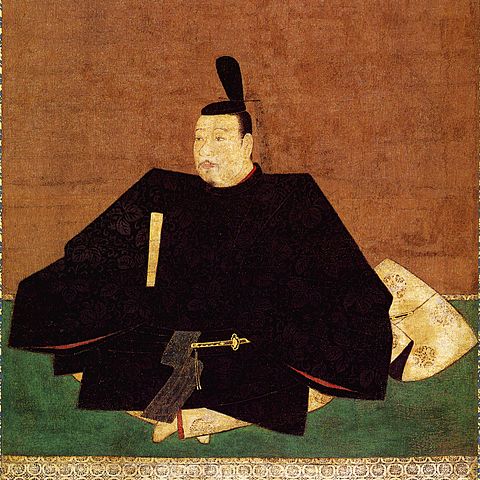
足利尊氏肖像画、浄土寺蔵~The portrait of Takauji Ashikaga, owned by Jodo-ji Temple(licensed under Public Domain via Wikimedia Commons)

正成と城の最期~End of Masashige and Castle

後醍醐天皇は建武の新政を始めますが、朝廷はすぐに後醍醐の南朝と、尊氏が別の天皇を立てて設立した北朝に分裂します。正成は最後まで後醍醐に仕えました。しかし、残念なことに1336年の摂津国(現在の兵庫県の一部)での湊川の戦いで尊氏に敗れてしまいます。千早城は正成の子孫により継承されますが、ついには1392年の北朝方の攻撃により落城しました。
Emperor Godaigo started Kenmu Restoration, but the kingdom was soon divided into his Southern Court and the Northern Court that Takauji established with another Emperor. Masashige followed Godaigo till the end, but was unfortunately defeated by Takauji in the Battle of Minatogawa, 1336 in Settsu Province (now part of Hyogo Prefecture). Chihaya Castle was kept by Masashige’s descendants, but eventually fell due to the attack of the Northern Court in 1392.

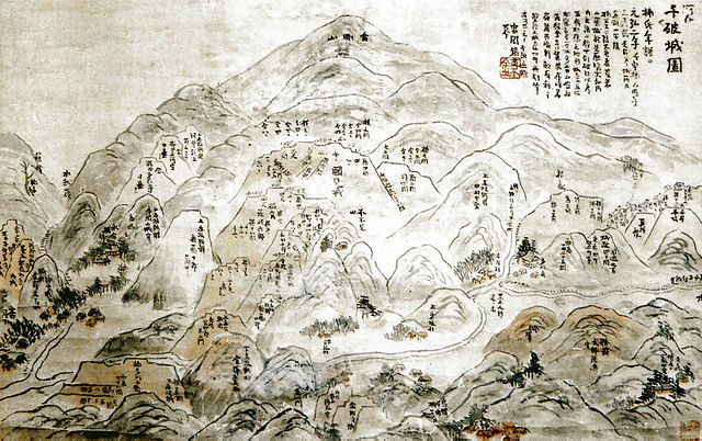
河内千破城図、湊川神社蔵~The illustration of Chihaya Castle, owned by Minatogawa Shrine(licensed under Public Domain via Wikimedia Commons)

特徴~Features

急坂を登る~Climbing Steep Slope

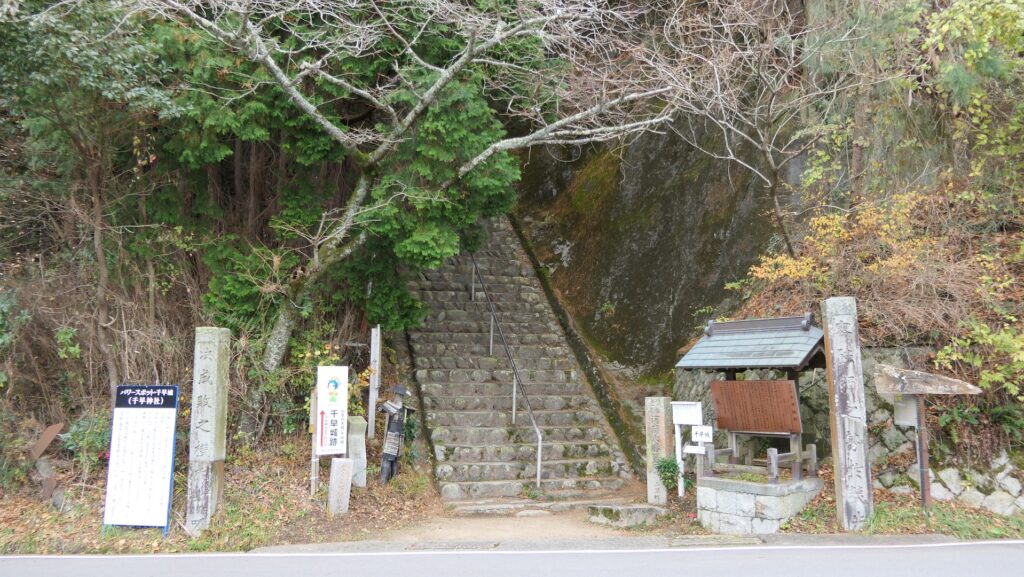
現在、千早城跡への入口は、いまだに金剛山への玄関口になっています。ここから急坂に沿った500段以上の石段を登っていかねばなりません。石段は元はなかったのですが、神社が建設されたときに一緒に作られました。山道は所々曲がりくねっていて、過去は敵を防げるようになっていました。
Now, the entrance to the ruins of Chihaya Castle is still the gateway for Mt. Kongosan. You have to climb up over 500 steps of stones along the steep slope. The steps were not there originally, instead they were developed when a shrine was constructed . The trail is partly zigzagged to prevent enemies in the past.

千早城跡入口~The entrance of Chihaya Castle Ruins
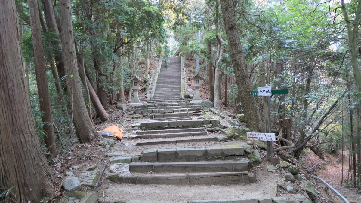
石段の急坂~The steep stone steps
曲がりくねっている山道~The zigzagged trail

城の中心部は神社に~Center of Castle becomes Shrine

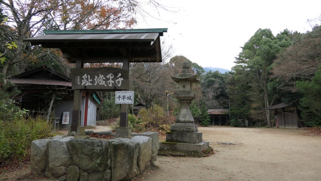
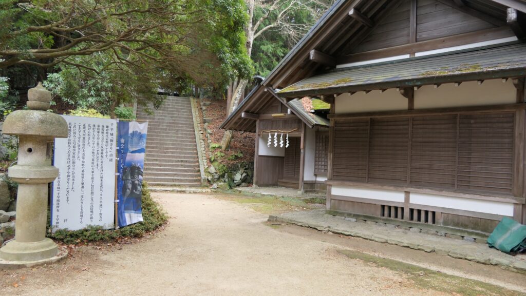
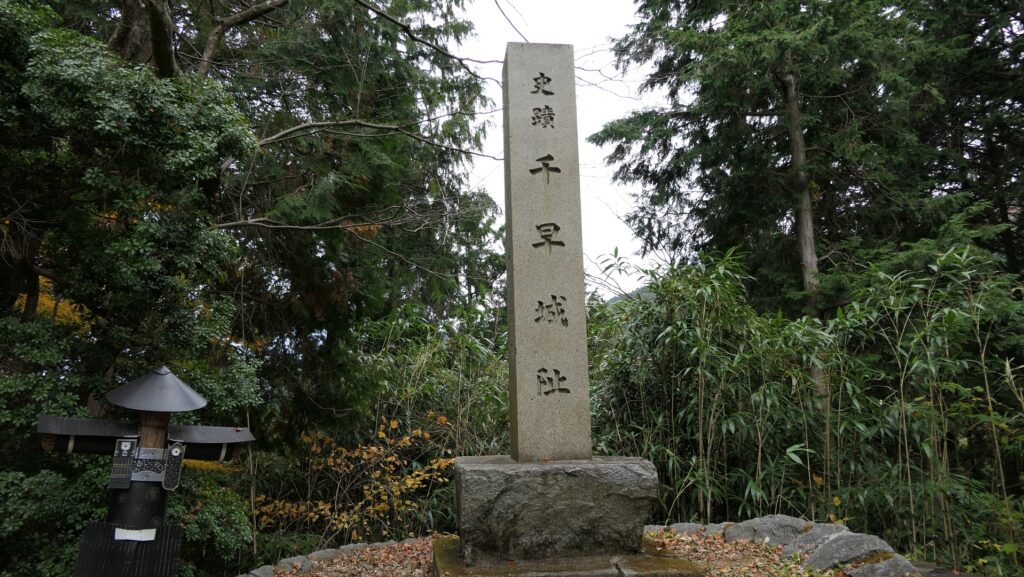
20分程かけて150mの高さを登っていくと、この城では最も広い郭である第四郭にたどり着きます。そこから更に山の鞍部を通る通路を通って第三郭に至ります。この郭には神社の社務所や、城の記念碑があります。
After about 20 minutes of 150m high climbing, you will reach the Fourth Enclosure which is the roomiest space in the castle. You can go further the route on a saddle of the mountain to the Third Enclosure. The enclosure has the shrine office and the monument of the castle.

第四郭~The Fourth Enclosure
山の鞍部~The saddle part of the mountain
第三郭~The Third Enclosure
城の記念碑~The monument of the castle

第三郭の後は第二郭となり、正成を祀る千早神社が鎮座しています。第一郭がまた第二郭の背後にありますが、聖地として一般の立ち入りは禁止されています。第一郭にはかつては見張り台のような建物があったと考えられています。
Chihaya Shrine that worships Masashige is on the Second Enclosure in at the back of the Third Enclosure. The First Enclosure is also at the back of the Second Enclosure, but it is closed to visitors of the shrine as it is considered the sanctuary. It is thought that a building, like a watchtower, stood on the First Enclosure in the past.

千早神社~Chihaya Shrine
第一郭は立ち入り禁止~The First Enclosure is closed

残っているものはあるか?~Does something original remain?

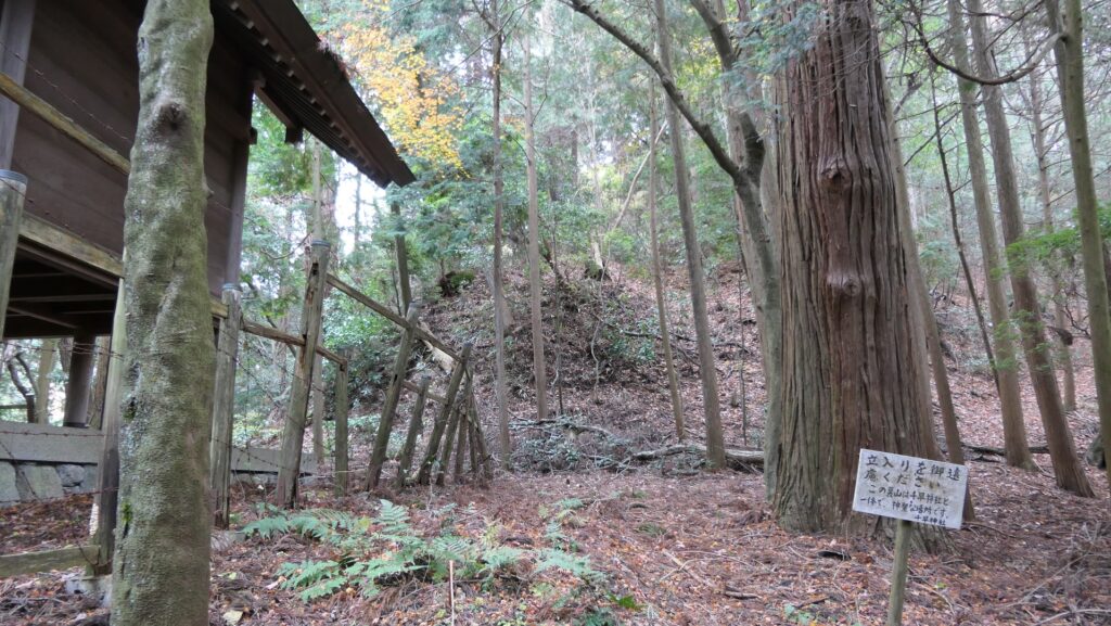
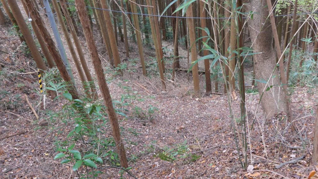
神社からは脇道が分かれ出ています。その道から見下ろすと、何か腰曲輪のようなものがあります。これらは元からあったものなのでしょうか。第三郭と第四郭の間の鞍部に戻ると、神社への脇参道を使って、山から下りることができます。谷底の一つは林道になっていて、そこから見ると坂道がとても急になっていて、この城がいかに自然の地形をうまく活用しているかがわかります。
The side tail goes from the shrine. From the trail, you can look down at something like bounded enclosures. I wonder if they are original or not. If you go back to the saddle between the Third and Fourth Enclosures, you can go down from the mountain using the side pathway to the shrine. One of the valleys’ bottoms has become a forest road. When you look up at the mountain from the road, you can see how steep the slope is, and how well the castle used natural terrain.

腰曲輪のように見えます~They can look like bounded enclosures
自然の断崖~The natural cliff

その後~Later History

千早城は長い間放置されてきました。ところが、明治維新後、状況は劇的に変化しました。北朝の子孫である明治天皇がどういうわけか南朝が正統と決めたのです。正成は、歴史家の間では優れた戦略家として知られてきましたが、突然日本史上最も有名な人物に祭り上げられてしまったのです。第二次世界大戦まで、彼の戦略とイデオロギーは全ての国民を忠良な臣民として教育するために利用されたのです。その結果、1879年に千早神社が城跡の上に建設されました。
Chihaya Castle had been abandoned for a long time. However, after the Meiji Restoration, the situation dramatically changed. Emperor Meiji who was a descendant of the Northern Court decided that the Southern Court was orthodox for some reasons. Masashige, who had been recognized as a great strategist only popular among historians, suddenly transformed into the most famous historical figure. His strategies and ideologies were used to educate all the nations in Japan, which was to be loyal subjects, until World War ll. As a result, Chihaya Shrine was built on the castle ruins in 1879.

皇居外苑にある楠木正成の銅像~The statue of Masashige Kusunoki at Outer Gardens of the Imperial Palace(licensed by David Moore via Wikimedia Commons)

現在でさえ、多くの年配の日本人は正成は単に忠臣だと思っています。一方で、若者の間では彼の名前さえ知らない人もいます。最近では歴史家たちは彼個人について一部研究が進んでいますが、いまだに謎のままです。この地は1934年から国の史跡に指定されています。
Even now, many old people in Japan think Masashige is just a loyal retainer. On the other hand, some young people even don’t know his name. Historians are recently studying about him as some parts of his personality still remain a mystery. The site has been designated as a National Historic Site since 1934.

私の感想~My Impression

私は千早城は日本の典型的な山城の先駆けだと思うのです。なぜなら敵から守るために、自然の障壁を最大限活用していたからです。その後の武士たちはこの城とここでの戦いから多くを学んだに違いありません。神社がよく整備され、正成の名が不朽なものとして残るのはよいことですが、せめて第一郭に立ち入らせてもらえないでしょうか。自治体の方にも城跡を史跡として整備し、もっと本当の正成を人々に知ってもらうようにすることを望みます。
I think that Chihaya Castle is the forerunner of typical mountain castles in Japan, because it used natural hazard at maximum to protect from enemies. Later warriors must have learned a lot from the castle and the battle on it. I am pleased to see that the shrine are is well maintained and Masashige’s name is kept intact .I hope that the shrine will allow visitors to enter the First Enclosure, and that the local government will preserve the ruins really like a historic site to let so that people know more about real Masashige more.

第一郭を見上げる~Looking up the First Enclosure

ここに行くには~How to get There

車の場合、阪和自動車道美原南ICから約30分かかります。城跡の入口周辺にいくつか駐車場があります。
バスの場合、近鉄長野線富田林駅から、金剛バス千早線の千早ロープウェイ前または金剛登山口行きに乗るか、
南海高野線か近鉄長野線の河内長野駅から、南海バス窪田線の金剛山ロープウェイ前行きに乗ってください。
どちらのケースでも、金剛登山口バス停で降りてください。
By car, it takes about 30 minutes away from the Mihara-Mnami IC on Hanwa Expressway. There are several parking lots around the entrance of the castle ruins.
By bus, you can take the Kongo Bus on Chihaya Line bound for Chihaya-Ropeway-Mae or Kongo-Tozanguchi from Tondabayashi Station on Kintetsu Nagano Line, or take the Nankai Bus on Kobuka Line bound for Kongosan-Ropeway-Mae from Kawachi-Nagano Station on Nankai Koya Line or Kintetsu Nagano Line. Get off at the Kongo-Tozanguchi bus stop in both cases.

リンク、参考情報~Links and References

千早城 千早神社、千早赤阪村観光協会(Chihaya-Akasaka Village Tourism Association)
・「日本の城改訂版第103号」デアゴスティーニジャパン(Japanese Book)
・「日本の攻城戦55/柘植久慶」PHP文庫(Japanese Book)
123.滝山城~Takiyama Castle

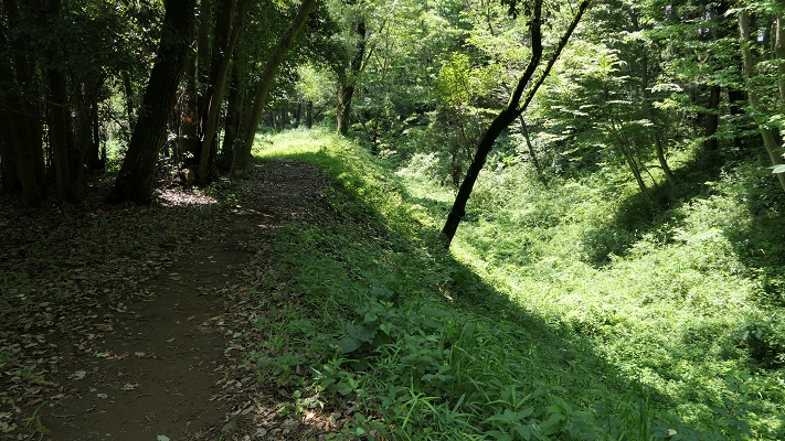
城跡は自然とともに残っています。
The castle ruins remain with nature.

本丸と中の丸をつなぐ曳橋~The movable bridge between Honmaru and Nakanomaru

立地と歴史~Location and History

滝山城は現在の八王子市の多摩川南岸の河岸段丘上にありました。この城の起源は、戦国時代のいずれかの時点で大石氏によると言われていますが、1560年の上杉謙信の関東侵攻をきっかけとして、北条氏照が拡張、完成させました。この城の使命は、小田原城の防御線になることと、小田原と北関東とのルートを確保することでした。
Takiyama Castle was located on the southern bank terrace of Tamagawa River in what is now Hachioji City, Tokyo. The origin of the castle is said to be by the Oishi clan sometime in “Sengoku” or the Warring States Period, but Ujiteru Hojo improved and completed the castle, inspired by the Kenshin Uesugi’s Kanto invasion in 1560. The mission of the castle was to be the defense line for Odawara Castle and to hold the route between Odawara and the northern Kanto region.

滝山城の位置、赤い線は1560年の上杉謙信の侵攻概略ルート、青い線は1569年の武田信玄のもの~The location of Takiyama Castle, the red line shows the rough attack route of Kenshin Uesugi in 1560, the blue line is that of Shingen Takeda in 1569

この城の北側は多摩川に沿って急な崖となっていて、攻めるには困難でした。この城の3つの主な通路は、川の反対側にある滝山街道につながっていました。これらの通路は全て二の丸に集まっていました。二の丸は防衛の中心拠点であり、桝形という方形の入り口と、馬出と呼ばれる障壁となる関門が通路に向かって設置されていました。
The northern side of the castle was a steep cliff along Tamagawa River which is difficult to attack. The three main routes to the castle were connected from the Takiyama Road, the opposite side of the river. The routes all gathered the Ninomaru enclosure. The enclosure was the defensive center which had square entrances called Masugata and gateway barriers called Umadashi heading towards these routes.

城周辺の起伏地図~The relief map around the castle

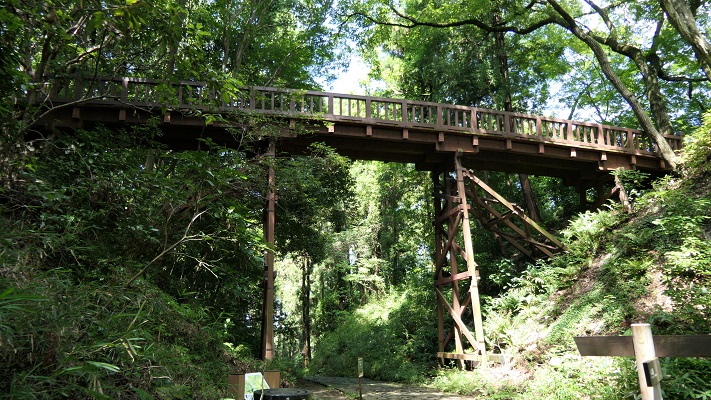
二の丸の後ろには、中の丸と本丸がありました。双方が曳橋という可動橋によってつながっており、緊急時には容易に取り外しが可能でした。本丸は、中心でかつ最後の曲輪となりますが、比較的小さいように思えます。歴史家は、そこが土豪が作ったこの城の最初の場所だったのだろうと推測しています。
The back of Ninomaru are Nakanomaru and Honmaru enclosures. Both were tied by a movable bridge called Hikihashi that could be removed easily for in emergency. Honmaru was the main and last enclosure which looked relatively small. Some historians speculate it could be the origin of the castle for a local clan.

城周辺の地図~The map around the castle

1569年、甲斐(現在の山梨県)から武田信玄が北条の領地に侵入し、この城を攻撃しました。信玄は二の丸に迫りましたが、諦めて小田原の方に向かったと言われています。氏照は滝山城を守り切ったのです。
In 1569, Shingen Takeda from Kai Province (now Yamanashi Pref.) invaded Hojo’s territory and attacked the castle. It is said that Shingen approached Ninomaru, but gave up and transferred to Odawara. Ujiteru was successful in keeping Takiyama Castle.

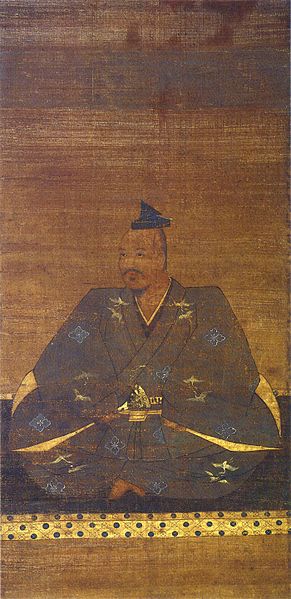
武田信玄肖像画、高野山持明院蔵、16世紀~The portrait of Shingen Takeda, owned by Jimyo-in, in the 16th century(licensed under Public Domain via Wikimedia Commons

1584年前後、氏照は城下町ごと八王子城の方に移っていきました。この理由は歴史家によって分かれています。一つは、武田との戦いの結果から北条がより強い城を必要としたというものです。もう一つは、1578年に謙信が死に、1582年に武田が滅亡したので滝山城はもう必要なくなったというものです。
Around 1584, Ujiteru moved to Hachioji Castle with the castle town. Historians’ opinion about the reason remain divided. One is that Hojo needed a stronger castle than Takiyama because of the result of battle with Takeda. The other is that there would be no need for Takiyama Castle after Kenshin died in 1578, and Takeda was destructed in 1582.

二の丸周辺~Around Ninomaru

特徴~Features

城周辺の航空写真~The aerial photo of around the castle

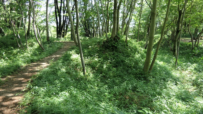
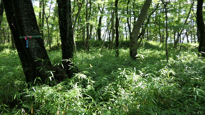
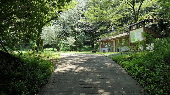
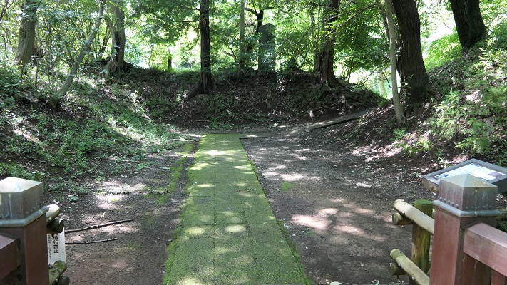
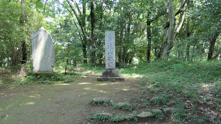
現在、城跡は都立滝山公園という自然公園の一部になっています。木々、植物、そして花に囲まれたハイキングコースがあります。車かバスを使った場合には、三の丸と小宮曲輪に挟まれた通路から入っていきます。
Now, the ruins of the castle are inside of a nature park called Metropolitan Takiyama Park. There are hiking trails among trees, plants and flowers. When using cars or buses, you will enter one of the routes sandwiched Sannnomaru and Komiya enclosures.

駐車場かバス停からの通路~The route from the parking lot or the bus stop

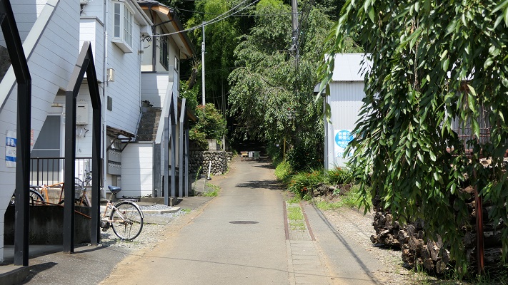
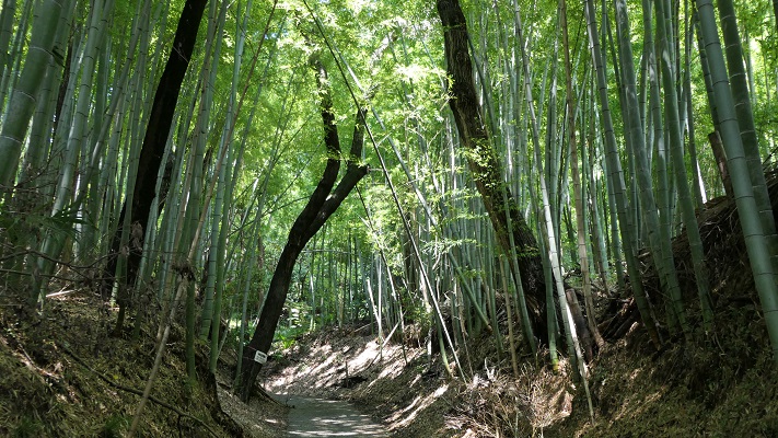
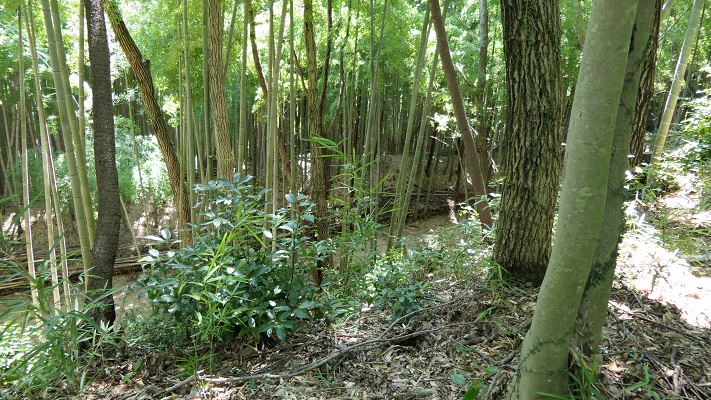
このルートは狭く、美しい竹林の合間をまっすぐ登っていきます。
The route is narrow and straight up among a beautiful bamboo forest.

竹林に囲まれた通路~The route surrounded by the bamboo forest

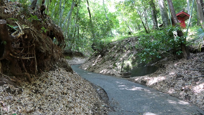
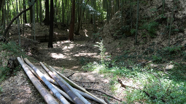
城跡の入り口は折れ曲がっていて、かつては城全体を囲んでいた長い空堀が目に入ってきます。
The entrance of ruins is zigzagged and you can see a long dry moat that surrounded the whole castle area in the past.

城跡の入り口~The entrance of the castle ruins
城跡を囲む空堀~The dry moat surrounding the castle ruins

敵は、周りの曲輪による両側からの反撃を受けることになります。1569年の武田の攻撃によりこの辺りは占領されてしまったと言われています。
Enemies had to break counterattacks from both sides of the enclosures around. It is said that Takeda’s attack in 1569 was able to capture this area.

三の丸を見上げる~Looking up Sannomaru enclosure

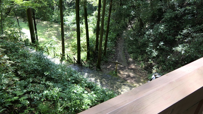
道は左手に深い谷を見ながら進み、千畳敷と呼ばれる広場を過ぎ、防御の中心拠点二の丸に至ります。ここには馬出しと桝形の遺構があります。
The route goes on next to a deep valley on your left. Then, passing a wide area called Senjojiki, you will reach the defense center Ninomaru. There are the ruins of Umadashi and Masugata.

左手は深い谷です~The deep valley on the left
千畳敷~The area called Senjojiki
馬出し跡、正面~The ruins of Umadashi, the front side
馬出し跡、背面~The ruins of Umadashi, the back side
二の丸の中心地~The center of Ninomaru

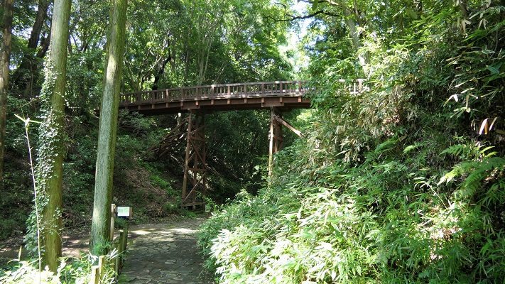
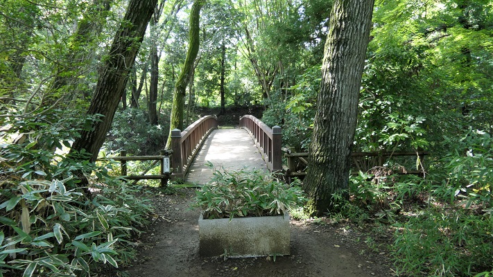
その後、中の丸と本丸の間にかかった曳橋が見えてきます。
After that, you can see the restored movable bridge between Nakanomaru and Honmaru.

本丸と中の丸をつなぐ曳橋~The movable bridge between Honmaru and Nakanomaru
曳橋~The movable bridge
中の丸から見た橋~The bridge from Nakanomaru

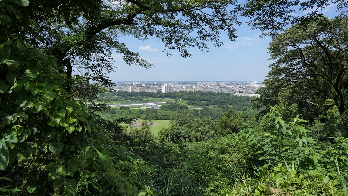
中の丸からは多摩川周辺の風景を眺めることができます。
You can also see a view of around Tamagawa River from Nakanomaru.

中の丸~Nakanomaru enclosure
中の丸からの眺め~A view from Nakanomaru

最近の発掘により、本丸には桝形があり、その床には自然石が敷き詰めてあり、排水の仕組みもあったとのことです。
The recent excavation found that Honmaru had a Masugata gate on the floor covered with natural river stones, and a draining system.

本丸の桝形跡~The ruins of Honmaru Masugata gate
本丸の内部~The inside of Honmaru

その後~Later History

この城は、戦国時代のうちに放棄されました。そのため、当時の城の構造がよい状態で自然とともに残っているのです。城跡は、1951年に国の史跡にも指定されました。
The castle was abandoned during the Warring States Period. That’s why the structure of a castle at that time remains well with nature. The ruins were designated as a National Historic Site in 1951 as well.

曳橋からの風景~A view from the movable bridge

私の感想~My Impression

城跡となっている場所は、主に自然公園として使われています。小道を歩き回っている観光客の人たちがたくさんいます。歴史ファンというよりは自然愛好家という感じです。これも史跡を活用する一つのやり方と思います。また、この城が自然の地形をうまく活用して作られたとも言えるでしょう。
The site of the castle ruins is mainly used as a natural park. You can see many tourists walking around the trails. They look like nature lovers rather than history fans. I think this is one of the ways to use historical sites. It also proves the castle was built using natural terrain very well.

小宮曲輪から通路を見下ろす~Looking down the route from Komiya enclosure

ここに行くには~How to get There

車で行く場合:中央自動車道の八王子ICから約15分かかります。国道411号(滝山街道)沿いに観光駐車場があります。
JR八王子駅または京王八王子駅からバスで行く場合:戸吹、秋川駅、または戸吹スポーツ公園入口行きバスに乗り、滝山城址下バス停で降りてください。
If you want to go there by car: It takes about 15 minutes from the Hachioji IC on Chuo Expressway. There is the parking lot for tourists along Route 411 (Takiyama Road).
If you want to go there by bus from JR Hachioji station or Keio-Hachioji station: Take the bus for Tobuki, Akikawa-eki or Tobuki-sports-koen-iriguchi and take off at the Takiyama-joshi-shita bus stop.

リンク、参考情報~Links and References

都立滝山公園・滝山城跡、八王子市~Hachioji City
よみがえる滝山城(Only Japanese)
・「関東の名城を歩く 南関東編/峰岸純夫、齋藤慎一編」吉川弘文館(Japanese Book)
・「歴史群像37号、戦国の堅城・滝山城」学研(Japanese Magazine)
・「越山、上杉謙信侵攻と関東の城」埼玉県立嵐山史跡の博物館(Japanese illustrated book)