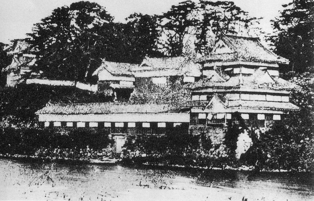
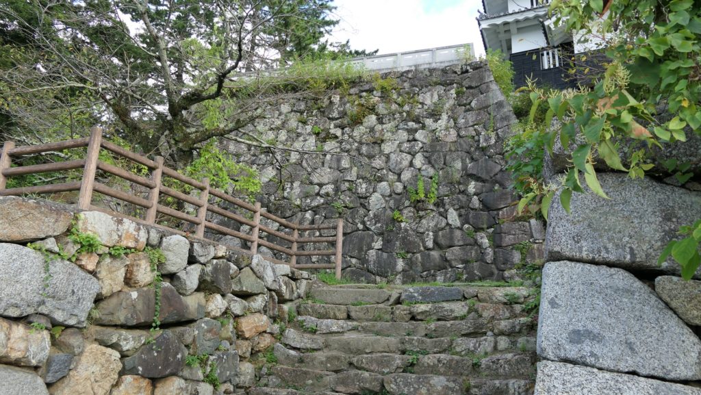
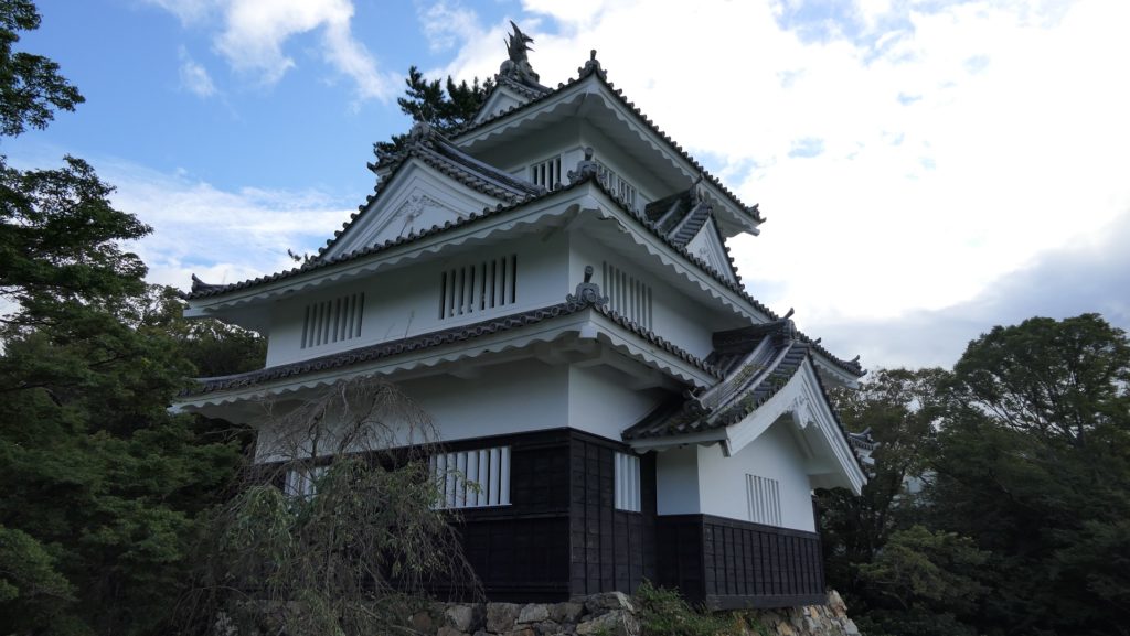
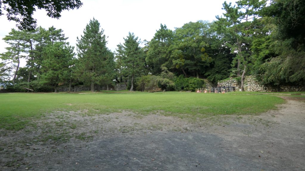
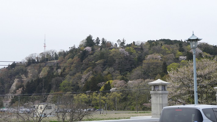
98.今帰仁城~Nakijin Castle

沖縄北部の優美な城跡です
Elegant castle ruins in the northern Okinawa

立地と歴史~Location and History

北山王国の首都~Capital of Hokuzan Kingdom

14、15世紀頃、琉球諸島(現在の沖縄諸島)は貿易により栄えました。その結果、「按司」と呼ばれる多くの有力な豪族が中国や他国と貿易を行い、力をつけていきました。彼らは「グスク」と呼ばれる大規模な要塞を琉球諸島周辺に300以上築きました。やがて「北山」「中山」「南山」のという3つの王国にまとまっていきます。今帰仁城は北山王国の首都でした。
Around the 14th and 15th centuries, the Ryukyu Islands (what is now Okinawa Islands) prospered thanks to trading. As a result, many powerful clans in Ryukyu called “Aji” traded with China and other countries, and had great power. They built over 300 large-scale fortresses called “Gusuku” around the Ryukyu Islands. They eventually gathered three large groups called the Kingdoms of “Hokuzan”, “Chuzan”, and “Nanzan”. Nakijin Castle was the capital of the Hokuzan Kingdom.

城の位置~The location of the castle

発掘の成果によれば、この城は最初は14世紀の初め頃、沖縄本島北部の本部半島にある、100mの高さの丘の上に築かれました。しかし当初は丘の上の平地を柵で囲っただけだったようです。その後、北山王国の勢力が高まるにつれ、城は拡張され、15世紀までに正殿や長大な高石垣が築かれました。中国の古書には、この城や王国から中国への朝貢があったことが記録されています。当時の中国製陶器の破片が遺跡から発掘されています。
According to the excavation, the castle was first built on a 100m high hill in Motobu peninsula of the northern Okinawa Island around the beginning of the 14th century, but it was just plane area on the hill which was surrounded by fences. After that, the castle was developed with the main palace and long, high stone walls being built until the 15th century, while the power of the Hokuzan Kingdom grew. An old Chinese book records the castle and the kingdom bringing a tribute to China. Peaces of Chinese potteries at that time are also unearthed from the ruins now.

現地にある城跡の模型~The miniature model of the castle ruins at the site

2度の落城~Castle fell twice

最盛期にはこの城は、後に琉球王国になる中山王国の首都にある首里城に匹敵する規模となりました。ところが、城はそこから2度落城します。1416年、中山王国の家臣である護佐丸がこの城を攻撃しました。最後の城主、攀安知(はんあんち)は城外で護佐丸と戦いますが、彼の部下である本部平原(もとぶていはら)の裏切りに合い敗れてしまいます。それ以来、城は琉球王国のものとなり、島の北部を治めるために「監守」と呼ばれる行政官が置かれました。
At its peak time, the castle became as large as Shuri Castle, the capital of the Chuzan Kingdom, the later Ryukyu Kingdom. However, the castle fell twice after the peak. In 1416, a retainer of Chuzan Kingdom, Gosamaru attacked the castle. The last lord of the castle, Han-annchi fought with Gosamaru outside the castle, but his retainer, Teihara Motobu betrayed him, and he was lastly beaten. Since then, Ryukyu Kingdom owned and stationed an administrator called “Kanshu” in the castle to govern the northern part of the island.
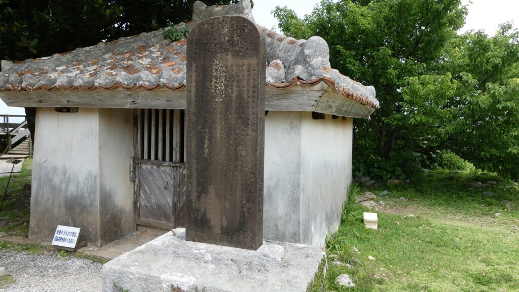
監守の業績を記した記念碑~The monument for the achievements of Kanshu

1609年、薩摩の武士たちが琉球王国に侵攻したとき、真っ先にこの城を占領し焼き払いました。侵攻後、王国は薩摩の支配下に置かれますが、この城には領主は置かれませんでした。その代わりに沖縄の人々が城を祈りの地として維持したのです。
In 1609, when the Satsuma warriors invaded Ryukyu Kingdom, they first captured and burned the castle. The kingdom was under the control of Satsuma after the invasion, but the castle had no lord. Instead, the people of Okinawa maintained the castle as a spiritual center.

祈りの場所の一つ、城内下之御嶽(うたき)~Jonai Shitano-Utaki, one of the places for praying

特徴~Features

城跡に入る~Entaring the castle ruins

現在、今帰仁城跡は素晴らしい景色と自然の中に位置しています。城跡の近くには便利な施設もあります。グスク交流センターでは、城跡へのチケットを買ったり休憩することができます。また、歴史文化センターでは、城やその周りの地域のことをより深く学ぶことができます。
Now, the ruins of Nakijin Castle are located in wonderful views and nature. There are also useful facilities near the ruins. One of them is the Gusuku Exchange Center where you can buy a ticket to the ruins and rest. The other is the History & Culture Center where you can learn more about the castle and the area surrounding it.

城周辺の航空写真~The aerial photo of around the castl

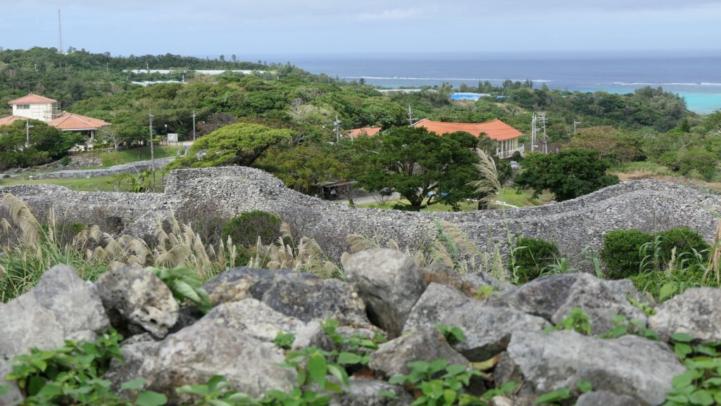
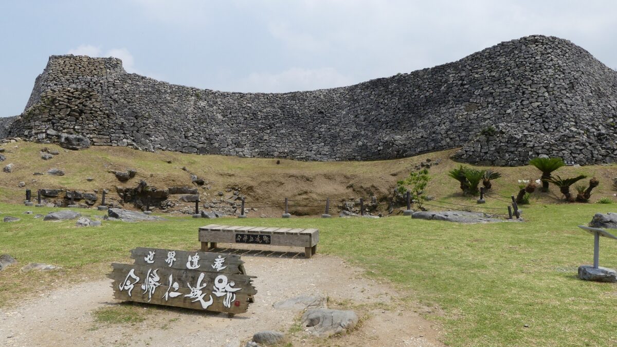
城跡の入口に歩いていくと、見事な曲線を描いた高石垣が目に入っていきます。この石垣は大隅(ウーシミ)の城壁と呼ばれ、高さが8mあり、この城の中では最も高いものです。城の守備兵は、曲線の頂点部分から敵に対して反撃することができました。城跡ガイドの方は、この石垣は中国の万里の長城に影響されていると説明しています。観光客は、現在石垣の脇にあるアーチ門を通って城跡に入っていきます。この門は1962年に復元されたものです。
When you walk to the entrance of the ruins, you will see finely curved high stone walls. They are called Ushimi Stone Walls and 8m high, the highest ones in this castle. The defenders of the castle could counterattack enemies from the top of the curve. The Guides of the ruins say that the walls were inspired by the Great Wall of China. Visitors will now enter the ruins through the arch gate beside the stone walls which was restored in 1962.

大隅(ウーシミ)の城壁~Ushimi Stone Walls
遺跡入口のアーチ門~The arch gate at the entrance

石の階段が城の中心部に向かって伸びていますが、これは最近になって観光用に作られたものです。旧道が階段の右側に沿って残っています。敵からの攻撃から守るため、狭く、急で、岩がごつごつした道になっています。
The stone steps go straight to the center of the castle, but they were built recently for tourism. The Old Pathway goes along on the right side of the steps. It is a narrow, steep and rocky path for defense against attacks in the past.

石段~The stone steps
旧道~The Old Pathway

城の中心部~Center of Castle

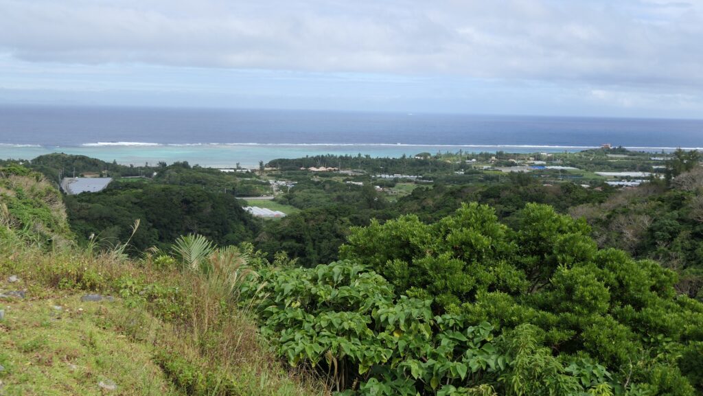
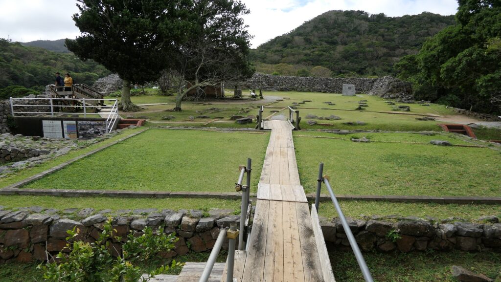
城の中心部は3つの部分に別れています。「大庭(ウーミャ)」は入口に最も近い場所であり、行事の際に使われた広場です。行事のために正殿、北殿、南殿といった建物がありました。次の場所は、「御内原(ウーチバル)」で城で奉仕する女性たちが住んでいました。ここはまた城の中では神聖な場所でした。現在では、ここから北の方角に素晴らしい海の景色が望めます。最後は「本丸」で、恐らくは城主が住んでいた場所です。発掘によっていくつもの建物があったことがわかっています。
The center of the castle has three parts. “Umya” Court is the first part from the entrance, which is was used as the square for ceremonies. There were the Main, North, and South Palaces for the ceremonies. The next part is called “Uchibaru” Ground where the women who served the castle lived. It is also a very religious place for the castle. You can now have a great view of the sea in the northern direction. The last part is the Main Enclosure or “Honmaru” where the lord of the castle probably lived. The excavation found that several buildings had been built.

大庭(ウーミャ)~“Umya” Court
御内原(ウーチバル)~“Uchibaru” Ground
御内原からの眺め~A view from “Uchibaru” Ground
もう一枚~Another view
本丸~The Main Enclosure

背後にある郭~Enclosure in Back

中心部からは、城の背後の部分が見え、そこに行くこともできます。「志慶真門郭(しげまじょうかく)」と呼ばれる場所で、ここもまた、長大な石垣に囲まれています。城主に仕える人たちが住んでいたと考えられています。この郭に降りていくときには、古石灰岩でできた石垣を間近に見ることができます。
You can see and go to the back of the castle from the center. This is called “Shigema-jokaku” Enclosure which is also surrounded by high, long stone walls. It is thought that the closest subjects who served the lord lived at the enclosure. You can also see the walls made of Paleozoic lime stones closely when you go down to the enclosure.

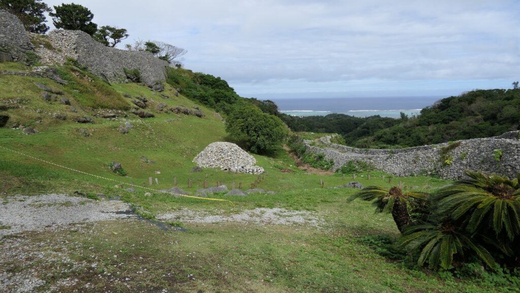
本丸から見た城の背後部分~The back of the castle from the Main Enclosure
志慶真門郭(しげまじょうかく)~“Shigema-jokaku” Enclosure
石垣~The stone walls

その後~Later History

第二次世界大戦で破壊された他の遺跡と異なり、今帰仁城跡は今に残りました。沖縄戦の戦場からは遠かったからです。戦後、城跡は1972年に国の史跡に指定されました。ついには、2000年から琉球王国のグスク及び関連遺産群として世界遺産に登録されています。
The ruins of Nakijin Castle remained though many other ruins were destroyed during World War II, as they were far away from the battlefields of Okinawa. After the war, they were designated as a National Historic Site in 1972. Lastly, they have also been on the World Heritage List as Gusuku Sites and Related Properties of the Kingdom of Ryukyu since 2000.
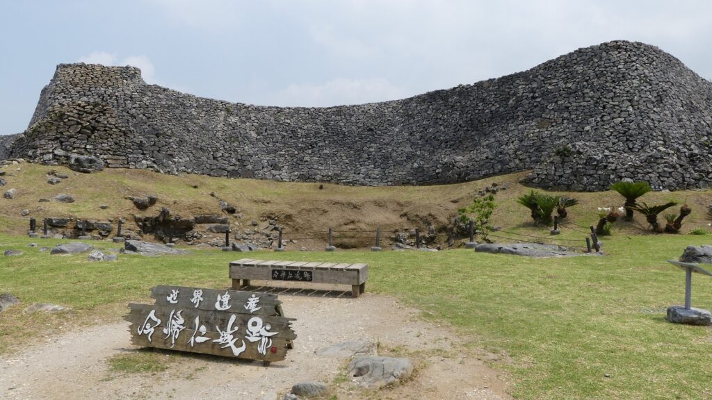
今帰仁城跡の正面~The front side of Nakijin Castle Ruins

私の感想~My Impression

私が初めて今帰仁城の石垣を見たときは、ただ単に石を積んであるだけのように見えました。日本の本土にある石垣は通常土か細かい石の芯の部分を覆って築かれます。その一つの理由は本土は地震が多く発生するので、石垣は強固な中心部分が必要だからでしょう。沖縄にはあまり地震がありませんが、雨が多く降ります。今帰仁城のような沖縄の城の石垣は雨を素通りさせます。後からその違いの理由を学びました。いすれにせよ、素晴らしい石垣を持つこの城跡は、沖縄の自然とよくマッチしています。
When I saw the stone walls of Nakijin Castle for the first time, they looked like the stones are just piled simply. This is because stone walls in the Mainland of Japan are were usually built covering their core of soil or small pieces of stone. One of the reasons for it this is that the Mainland often suffers from earthquakes, so stone walls needs a strong core. On the other hand, Okinawa has few earthquakes, but has a lot of rain. The stone walls of Okinawa’s castles like Nakijin can make rain slip through. I learned the reason for the difference later. Anyway, I think the ruins with elegant stone walls match the nature of Okinawa.
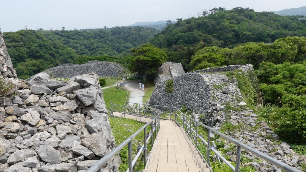
今帰仁城の石垣~The stone walls of Nakijin Castle

ここに行くには~How to get There

ここには車で行かれることをお勧めします。
那覇空港から:
車の場合、那覇空港自動車道に名嘉地ICから入り、西原JCTで沖縄自動車道に合流し、許田ICで降りてください。城跡はそこから30分程かかり、城跡周辺に駐車場があります。
バスの場合は、運天港行きのやんばる急行バスに乗ってください。空港から約2時間半かかりますが、城跡近くの今帰仁城址入口バス停で降りてください。
I recommend you to visit it by car.
From the Naha Airport:
By car, enter Naha Airport Expressway at the Nakachi IC, join Okinawa Expressway at the Nishihara JCT, and get off the expressway at Kyoda IC. The ruins are about 30 minutes away from the IC. There are parking lots around the ruins.
By bus, you can take the Yanbaru Express Bus bound for Unten Port. It takes about 2.5 hours from the airport to the Nakijin-joshi-iriguchi bus stop near the ruins.

リンク、参考情報~Links and References

世界遺産 今帰仁城跡(Officisl Website)
・「列島縦断「幻の名城」を訪ねて/山名美和子著」集英社新書(Japanese Book)
・「琉球王国、東アジアのコーナーストーン/赤嶺守著」講談社(Japanese Book)

151.吉田城~Yoshida Castle

本当に未完成の城なのでしょうか。
Is it really uncompleted?

立地と歴史~Location and History

戦国大名が城を巡り争う~Warlords battled over the castle

吉田城は、豊川と朝倉川の合流点のすぐ隣に位置しており、現在は愛知県豊橋市に属します。この城はまた、陸上と水上交通の結節点にも当たり、戦略的な位置にありました。そのため、戦国時代には、今川、徳川といった戦国大名がこの城を巡って戦いました。そして、最終的には徳川氏がこの城を制し、所有しました。徳川時代の城の構造は不明ですが、歴史家は、恐らく土造りの城だったであろうと推測しています。
Yoshida Castle is located beside the meeting point of Toyokawa and Asakura-gawa Rivers in what is now Toyohashi City, Aichi Pref. Its location was also strategic for transportation in ground and water, so Warlords such as the Imagawa and Tokugawa clans battled each other over this castle during the Sengoku or Warring States Period. It was finally conquered and owned by Tokugawa for many years. Though the structure of the castle in the Tokugawa’s Era was not clear, historians speculate the foundation of the caste was all made of earth.

城の位置~The location of the castle

城から見た豊川~A view of Toyokawa River from the castle

池田輝政が城を拡張~Terumasa Ikeda improved the castle

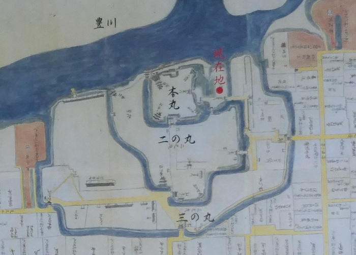
1590年、天下人の豊臣秀吉は、徳川に関東地方に移るよう命じ、池田輝政をこの城の主に据えました。輝政は彼の10年間の統治期間に、城を増強し、櫓や石垣を築きます。その後は、徳川幕府の譜代大名が江戸時代の間、この城を統治し、維持していました。最盛期には、川を背にして本丸、二の丸、三の丸といった曲輪が外側に向かって配置され、空堀によって隔てられていました。更には、外郭として土塁が周りを囲んでおり、その外周は約4kmありました。
In 1590, the ruler Hideyoshi Toyotomi ordered Tokugawa to move to the Kanto Region, and placed Terumasa Ikeda as the lord of the castle. Terumasa improved the castle, building turrets and stone walls over a period of ten years. After that, hereditary feudal lords under the Tokugawa Shogunate governed and maintained the castle in the Edo Period. At its peak, with the back of the rivers, it had the Honmaru, Ninomaru, Sannnomaru enclosures towards the outside, divided by deep moats. It also had earthen walls as the outline whose perimeter was about 4 km.

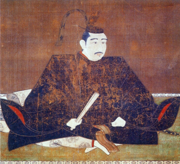
池田輝政肖像画、鳥取県立美術館蔵~The Portrait of Terumasa Ikeda, owned by Tottori prefectural art museum(licensed under Public Domain via Wikimedia Commons)
吉田藩士屋敷図~The map of Yoshida feudal domain houses(現地説明板より)

特徴~Features

未完成の城?~Incomplete castle?

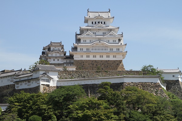
吉田城は時折、未完成の城と言われます。その理由の一つはこの城には天守がないこと、そして部分的にしか石垣に覆われていないこと、これらが東海地方の他の主要な城である名古屋、岡崎、浜松、掛川駿府と比べられているのでしょう。もう一つの理由が池田輝政にあります。彼は、吉田を出てから世界遺産である姫路城を完成させます。彼が吉田にもっと居てくれたなら、吉田城を姫路城のような城にしてくれたのではないかというものです。
Yoshida Castle is sometimes called an incomplete castle, and one reason is because it had no Main Tower or Tenshu, and was just partly covered with stone walls, compared to other major castles in Tokai Region like Nagoya, Okazaki, Hamamatsu, Kakegawa, and Sunpu. Another reason is due to Terumasa. He completed Himeji Castle, a World Heritage Site, after he moved from Yoshida. Some people guess he might have completed Yoshida Castle like Himeji if he had spent more time in Yoshida.

本丸の周辺、部分的に石垣が使われている~The around Honmaru , partly covered by stone walls
世界遺産、姫路城~Himeji Castle, a World Heritage Site

鉄櫓が天守か?~Was Kurogane Turret the Main Tower?

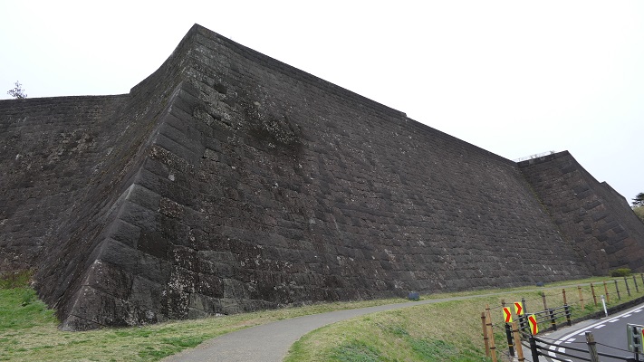
歴史家の内には、記録がないだけで吉田城には天守はあったはずだという人もいます。他には、鉄櫓と呼ばれるこの城の三階櫓が天守だったのだという人もいます。この櫓は、他の城のいくつかの天守より大きいサイズだったこと、(鉄櫓にあった)鉄が使われる門は通常は天守のためのものだったことが根拠です。石垣の件に関しては、郷土史家によれば、もともとこの城は土でできており、そのため、輝政は必要と思う場所にのみ石垣を築いたのだとのことです。石垣を築くには不適当な箇所がたくさんあり、事実輝政の後の大名たちは、洪水や地震の後に、大変な労力でもって石垣を修復していました。
Some historians argue that the castle must have had a Tenshu despite no records remaining. Others say that a three-story turret in the castle, called “Kurogane” Turret, was the Tenshu, as the turret was larger than other Tenshu in some castles and the gate using iron (called Kurogane) was usually used for Tenshu. In the matter of stone walls, local historians explain that the castle had basically been made of earth. Because of it, Terumasa built his stone walls on where he needed them. There were many places which were not suitable for building stone walls. Actually, the lords of the castle following Terumasa all put great efforts to repair the stone walls after floods and earthquakes

吉田城の古写真~An old picture of Yoshida Castle(licensed under Public Domain via Wikimedia Commons)
多くの石垣が修復されています~A lot of stone wall were repaired

城跡は豊橋公園に~Ruins become Toyohashi Park

城周辺の航空写真~The aerial photo of around the castle

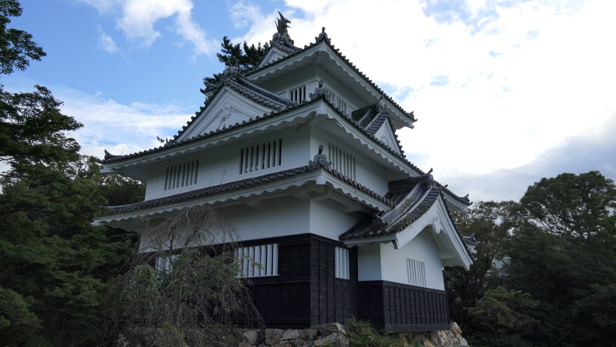
現在城跡は、大部分が三の丸の内側になりますが、豊橋公園として使われています。史跡として楽しめるのは、主に本丸と川沿いのエリアです。輝政が築いたオリジナルの石垣の上に、1954年に鉄櫓が復興再建されました。もともとの鉄櫓は、現在のものよりも大きかったと言われています。
Now, the ruins of the castle, almost the inside of Sannnomaru, are used as Toyohashi Park. You can mainly enjoy the Honmaru area and the riverside as historical spots. There is the reconstructed Kurogane Turret built in 1954 on the original stone walls base by Terumasa. The original turret was said to be larger than the current one.

本丸の入口~The entrance of Honmaru area
再建された鉄櫓~The reconstructed Kurogane Turret

本丸の内側にある他の石垣は、輝政の後に、将軍を迎えるための御殿を作ったときに築かれました。また、川沿いにもたくさんの石垣を見ることができますが、これらは更に後の時代になって置き換えられたものです。この辺りには水門跡もあります。他の公園の敷地は、文化芸術施設のために使われています。そこでも、土塁、石垣、空堀の類を見ることができるかもしれません。
Other stone walls inside Honmaru were built when the main hall for Shogun was built after Terumasa. You can also see lots of stone walls along the riverside which were replaced much later. There are also the ruins of the water gate there. The rest of the park is used for cultural and athletic facilities. You may even find the ruin such as earthen walls, stone walls, and dry moats there.

本丸の内側~The inside of Honmaru
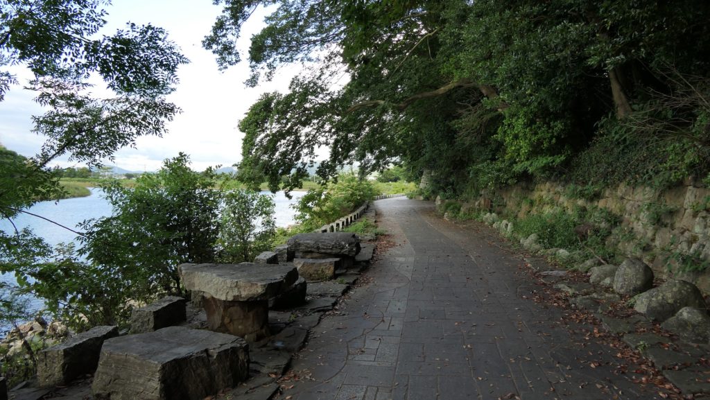
川沿いの遊歩道~The promenade along the riverside
水門跡~The ruins of the water gate

その後~Later History

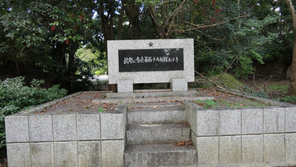
明治維新後、吉田城は廃城となり、城の全ての建物は撤去されました。そして、第二次世界大戦まで日本軍によって使われていました。
After the Meiji Restoration, Yoshida Castle was abolished and all of the buildings were demolished. The ruins were used by the Japanese Army until World War II.

歩兵第118連隊の記念碑~The monument of the The 118th infantry regiment

私の感想~My Impression

私は、全ての城は未完成だと思うのです。全ての城はかつては戦い、統治そして権威付けのために使われてきて、芸術のためではありません。そして状況が変われば、それに応じて改造されてきたのです。現在でさえ、城や城跡は常に変わり続けており、それが魅力なのです。ついでながら、もし輝政がもう何年か吉田に留まっていたとしても、吉田城は姫路城とは異なっていたでしょう。立地や状況が違っていたからです。
I think all the castles were never completed. They all had been used for battles, governance and authority, not for art. They had to be modified to deal with a different situations. Even now, castles and ruins are always changing, and that is what is attracting us. In addition, even if Terumasa stayed in Yoshida for more years, Yoshida Castle would have been different from Himeji. It would have depended on its location and situation.

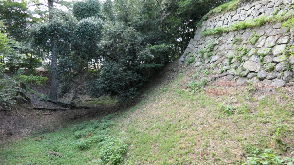
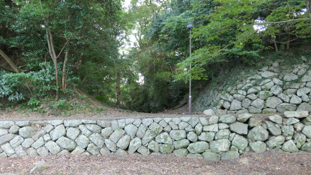
本丸の空堀、右側は石垣、左側は土塁~The dry moat at Honmaru, the right side is stone walls, the left side is earthen walls

ここに行くには~How to get There

車の場合:東名自動車道の豊橋ICから約20分かかります。公園の中に駐車場があります。
電車の場合は、豊橋駅前にある駅前停留所から市電の赤岩口、運動公園前または競輪場前行きに乗り、市役所前か豊橋公園前停留所で降りてください。
東京または大阪から豊橋駅まで:新幹線に乗ってください。
If you want to go there by car: It takes about 20 minutes from the Toyohashi IC on Tomei Expressway. There is a parking lot in the park.
When using train, take the tram for Akaiwaguchi, Undokoen-mae or Keirinjo-mae at the Eki-mae stop in front of Toyohashi Station, and take off the Shiyakusho-mae or Toyohashikoen-mae stop.
From Tokyo or Osaka to Toyohashi Station: Take the Shinkansen super express.

リンク、参考情報~Links and References

吉田城(豊橋公園)、愛知県公式観光サイトYoshida Castle – Kurogane Yagura Tower – Toyohashi Park
・「三河吉田城/岩原剛編」戒光祥出版(Japanese Book)
・「よみがえる日本の城3」学研(Japanese Book)
8.仙台城(Sendai Castle)

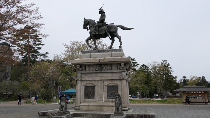
本丸の伊達政宗像(The statue of Masamune Date at Honmaru area)

Location and History

仙台は日本の東北地方で最大の都市であるとともに、宮城県の県庁所在地でもあります。仙台の歴史は、仙台城と共に始まりました。この城の創始者、伊達政宗は若く偉大な戦国大名だったのですが、徳川幕府が天下を制してからは従わざるをえませんでした。仙台城は、正宗が居住する城として、3つの候補地から将軍徳川家康によって選ばれたと言われています。
Sendai is the biggest city in Tohoku district of Japan, and the prefectural capital of Miyagi pref. The city started its history with the Sendai castle. The founder of the castle, Masamune Date was a great young warlord, but he had to follow the Tokugawa Shogunate after its unification of the whole country. It is said the Sendai castle was designated for Date to settle from three options by the shogun Ieyasu Tokugawa.

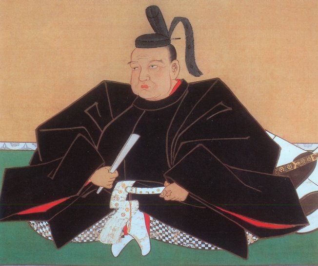
伊達政宗像、仙台市博物館蔵(The picture of Masamune Date owned by Sendai City Museum)licensed under Public Domain via Wikimedia Commons

実のところ、戦乱が終息した当時において、新しい城を平地ではなく山の上に設置するというのは大変稀なことだったのです。その中でも本丸エリアの防御力は特に強力でした。本丸の東側は垂直の崖であり、南は川の渓谷に、西は深い山になっていました。北側だけがアクセス可能でしたが、多くの構造物や仕掛けにより敵の攻撃から守られていました。なぜ家康が正宗にこのような強力な城を作らせたのか、明確な理由はわかっていません。
Actually, it was very rare for a new castle to be on a mountain area instead of a plain area at that time when the war was over. The main enclosure “Honmaru” area was strong defensively. Its east side had a vertical cliff, south was a river valley, and west was a deep mountain. Only the north side was accessible, but many structures and devices were set on this side to prevent enemies from attacking. No one can clearly explain why Tokugawa let Date build the strong castle.

城周辺の段彩陰影図(The transparent color shaded relief map around the castle)


というのも、幕府は通常、大名が強力な陣地に立てこもって反乱を起こすようなことは望まないからです。結果的には、仙台藩の2代目藩主は平地である二の丸に移っていきました。そこに二の丸御殿を築いてからは、居住するにも政治を行うにも便利になりました。
Because the shogunate usually didn’t want to have lords get labeled based on a strong site, eventually, the second generation of the feudal domain of Sendai moved to the plain area called “Ninomaru”. After the construction of the Ninomaru main hall, they were able to live and govern conveniently.

二の丸の古写真(An old picture of Ninomaru)licensed by katana 213 via Wikimedia Commons

Features

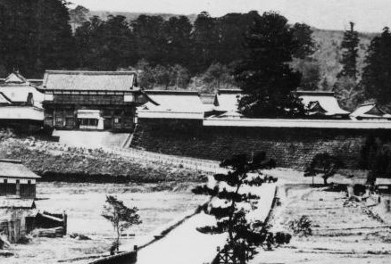
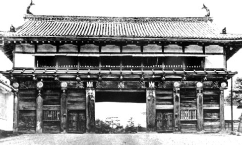
それでは、本丸エリアの北側を歩いて登ってみましょう。最初に大手門跡に立ってみます。そこには特大の門があったのですが、1945年の仙台空襲により焼失してしまいました。現在では、戦後に再建された大手門の脇櫓だけを見ることができます。
Let’s walk up the north side of the Honmaru area. At first, you can try standing on the ruin of the main entrance “Otemon” where a very large scale gate building was located until it was burned down by the Sendai air raid in 1945. The side turret building of the Otemon we can see now was rebuilt after the war.

大手門跡(The ruin of Otemon)
大手門の古写真、1938年(An old picture of Otemon in 1938)licensed under Public Domain via Wikimedia Commons
再建された大手門脇櫓(The rebuilt side turret of Otemon)

そこから本丸に向かっていくには、急で曲がりくねった道を登っていき、もう一つの門「中の門」を通り過ぎなければなりません。その後、行く手を遮るような高く広い本丸石垣が立ちはだかっているのにびっくりするかもしれません。
Then, you have to climb up a steep and winding road with passing through the ruin of another gate called “Nakanomon” to head towards Honmaru. After that, you may be surprised to see the tall and wide stone walls of Honmaru stand in your way.

中の門跡(The ruin of Nakanomon)
本丸北石垣(The north stone walls of Honmaru)

過去にはこの石垣の上には、3基の3階櫓が建っていて、攻撃側を迎え撃てるようにしていました。ついには、最後の門である「詰の門」から入れば本丸に到着します。
In the past, three of three story turrets were on the stone walls that would be tough for attackers. Finally, entering the last gate “Tsumenomon”, you will reach Honmaru.

詰の門跡(The ruin of Tsumenomon)
本丸御殿跡(The ruin of Honmaru main hall)
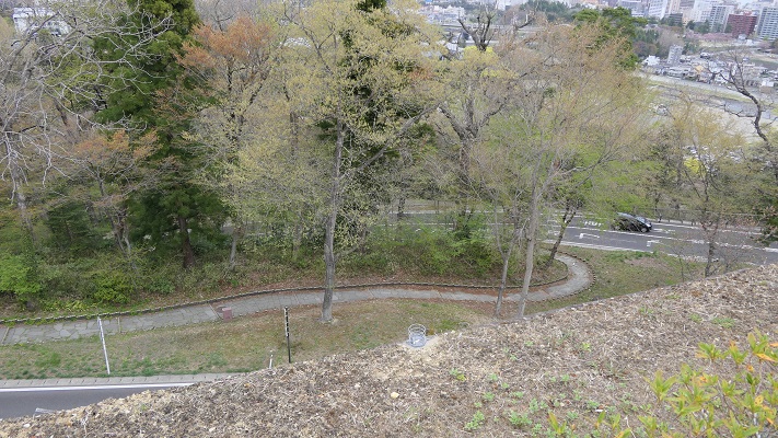
本丸北石垣から見下ろした眺め(A view looking down from the north stone walls of Honmaru

本丸北側の地図(The map of north side of Honmaru)
(マーカーをクリックして地点の名前を確認してください。)
(Please click a marker, and check the name of the point.)


Later Life

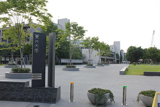
明治維新後、日本陸軍の第2師団が司令部をこの城に置き、その時に元あった建物の大半は撤去されてしまいました。第二次世界大戦後は、米軍がこの地区に駐留していました。日本の独立回復後は、本丸地区は仙台市と護国神社が分け合い、二の丸地区は東北大学が使用しています。行政は今、発掘の成果に基づき、どうやって城跡を整備していけるのか慎重に検討しています。
After the Meiji restoration, the headquarters of the Japanese army 2nd division was located in the castle with most of original buildings being demolished. After the World War II, the US army occupied the area then. After the restoration of sovereignty, the Honmaru area is divided by Sendai city and the Gokoku shrine, and the Ninomaru area is used for the Touhoku University. Officials are now considering how they can improve the castle ruins carefully with the achievement of excavations.

二の丸地区にある東北大学(Tohoku University on Ninomaru area)licensed by XIIIfromTOKYO via Wikimedia Commons

My impression

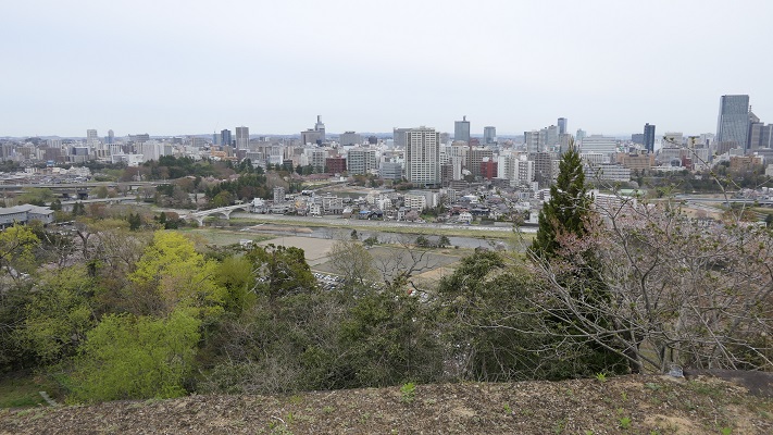
今現在、仙台駅からバスや車を使って本丸地区に行くのはとても簡単です。そこでは、素晴らしい景色や伊達政宗の銅像を見ることができます。でも、当方としてはそれだけでは仙台の町や城を知るには不十分だと思います。1時間程かかりますが、仙台駅から城跡まで歩いてみてはいかがでしょう。
Now, it is very easy for anyone to access the Honmaru area from the Sendai station by bus or car, there you can see the great view and the bronze statue of Date. But I think that is not enough to know about the Sendai town and castle. I recommend walking from the station to the castle ruins of about one hour.

本丸地区からの仙台の街並み(A view of Sendai town from Honmaru area)

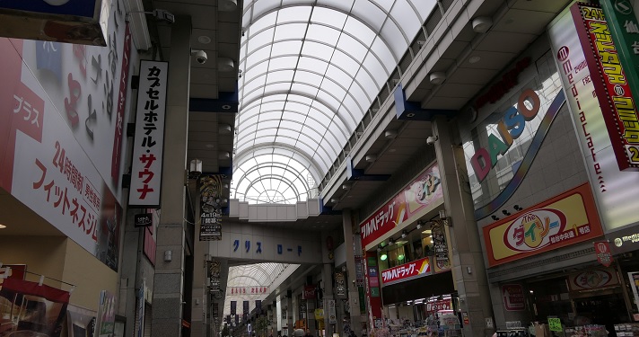
仙台駅の北側にあるパルコ・ビルディングの反対側から始まるクリスロードをまっすぐ進んでください。この通りは何百件もの店舗からなるアーケードになっていて、買い物も楽しむことができます。
Go straight to the Clisroad which starts from the opposite side of the Parco building near north side of the station. The road is an arcade with hundreds of shops, you can also enjoy shopping there.

クリスロード(The Crisroad)

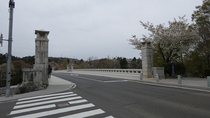
そのまま進むと、広瀬川にかかる大橋に着きます。そこを渡れば大手門跡に到着です。参考として、城跡の近くにある地下鉄東西線の国際センター駅から歩くこともできます。
It will lead you to the Ohashi Bridge across the Hirose River. You will reach the ruin of Otemon. In addition, you can also walk from the International Center station on the Tozai subway line near the ruin.

大橋(The Ohashi bridge)
大橋から見た本丸地区(A view of Honmaru area from Ohashi bridge)

赤い線がお勧めルートです(The red line shows the recommended route)


How to get There

仙台駅からバスで行きたい場合:西口バス乗り場から出ているループル仙台バスに乗ってください。(ピーク時には15~20分毎)
国際センター駅から歩きたい場合:仙台駅から地下鉄東西線に乗り換えてください。
東京から仙台駅まで:東北新幹線に乗ってください。
If you want to go there by bus from Sendai station: Take the Loople-Sendai bus that comes every 15 or 20 minutes at the top of the hour at the west entrance bus pool.
If you wish to walk there from the International Center station: Take the Tozai subway line from the Sendai station.
From Tokyo to Sendai st.: Take the Tohoku Shinkansen super express.