29.Matsumoto Castle Part1

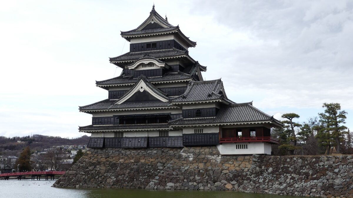
Matsumoto Castle is located in Matsumoto City, Nagano Prefecture, which is known for its wonderful remaining five-level Main Tower. Matsumoto Basin, in which the city is located, has also been known for abundant springs flowing from the surrounding mountains since Ancient Times (we can still see many wells in the city area).

Location and History

Ogasawara Clan is driven away from Castle, but is waiting for their long-cherished plan to revive

Matsumoto Castle is located in Matsumoto City, Nagano Prefecture, which is known for its wonderful remaining five-level Main Tower. Matsumoto Basin, in which the city is located, has also been known for abundant springs flowing from the surrounding mountains since Ancient Times (we can still see many wells in the city area). That’s why the area was originally called “Fukase” or “Fukashi” which seem to have meant “waters running deep”. The Ogasawara Clan, which became the governor of Shinano Province (now Nagano Pref.), was based in this area during the Middle Ages. Many battles occurred during the Sengoku Period, and Ukon Shimadate, who was a retainer of the clan, built Fukashi Castle (the former Matsumoto Castle) in 1504 to protect the clan’s home, Hayashi Castle. However, they were driven away by the Takeda Clan in 1550, following the Siege of Fukashi.
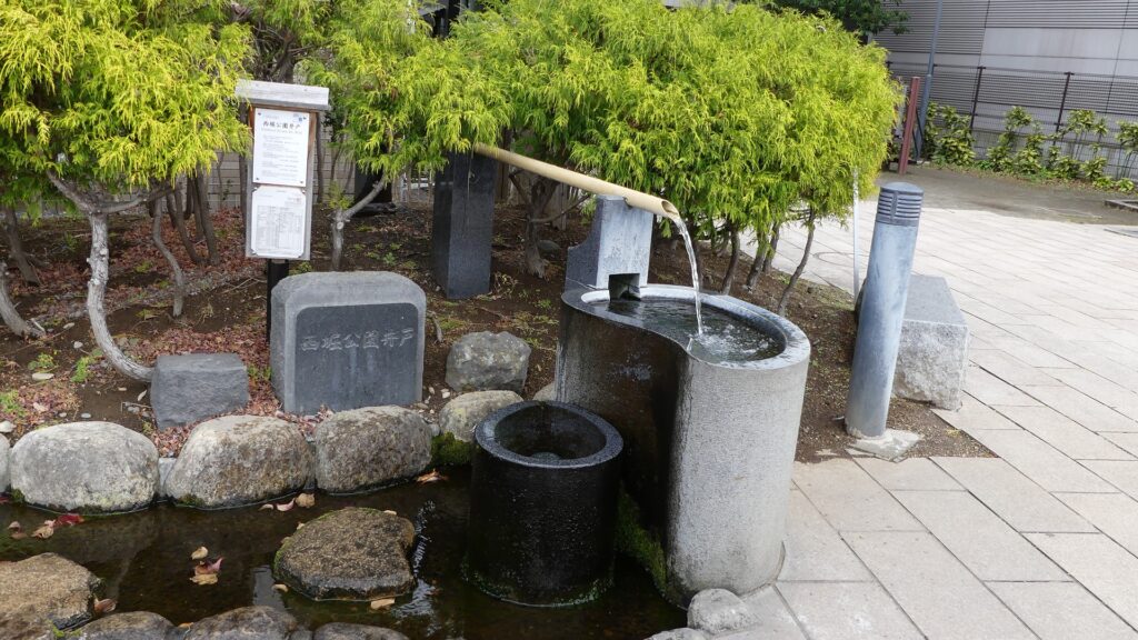
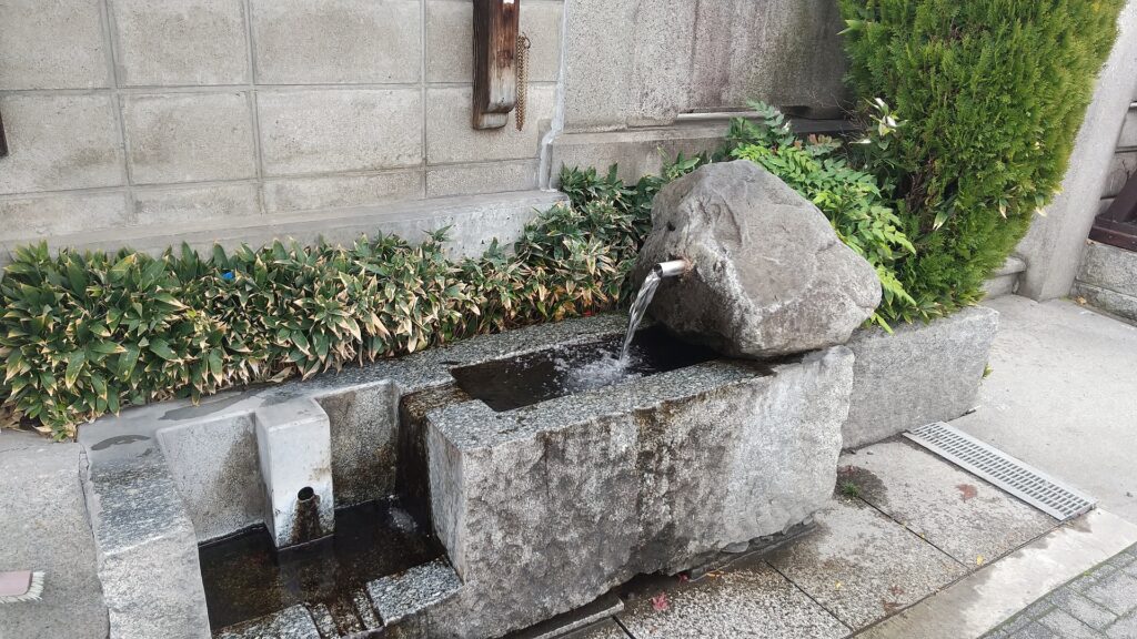
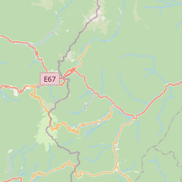
The range of Matsumoto City and the location of the castle

A well in the city area (at Nishibori Park)
Another well maybe naneless

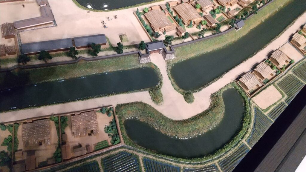
The Takeda Clan fortified Fukashi Castle to be a defensive stronghold even on the flat lands of the basin. The clan had the castle surrounded by tripled water moats. The lands inside the moats were called (from the center) the main, second, and third enclosures. The flow of the Metoba River was diverted to run alongside the outer moat, which made the castle more defensive. The clan also improved the gates of the castle by adding Umadashi systems in front of them. The system refers to a small round enclosure connected by a narrow path to the gate. It was a defense system created and frequently used by the clan. It was said that the basic structures of the castle was completed by the Takeda Clan. However, the castle was still basically made of soil at this point.
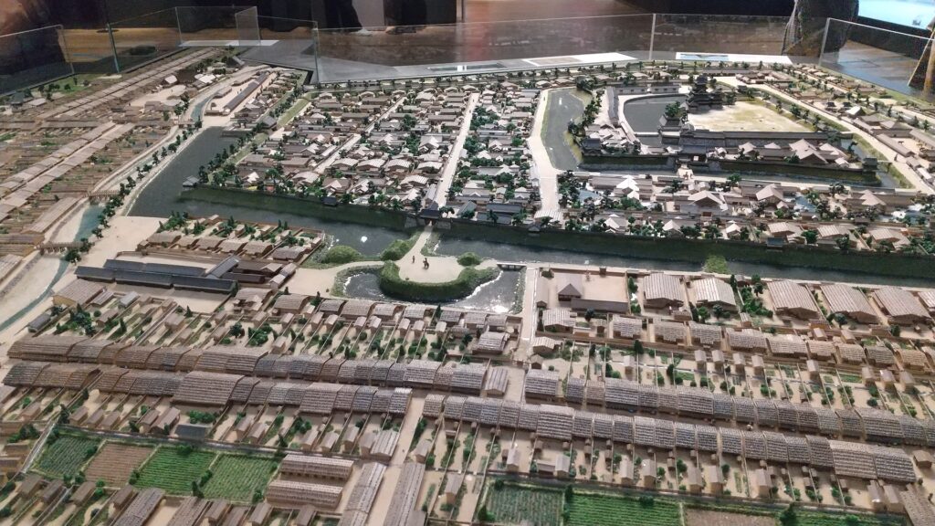
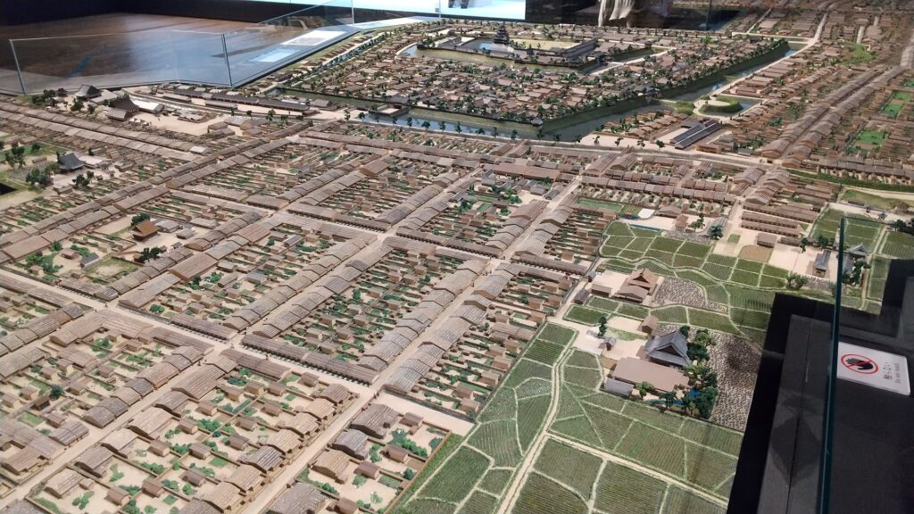
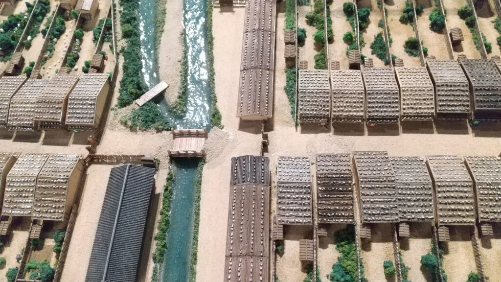
The miniature model of Matsumoto Castle during the Edo Period, exhibited by Matsumoto City Museum
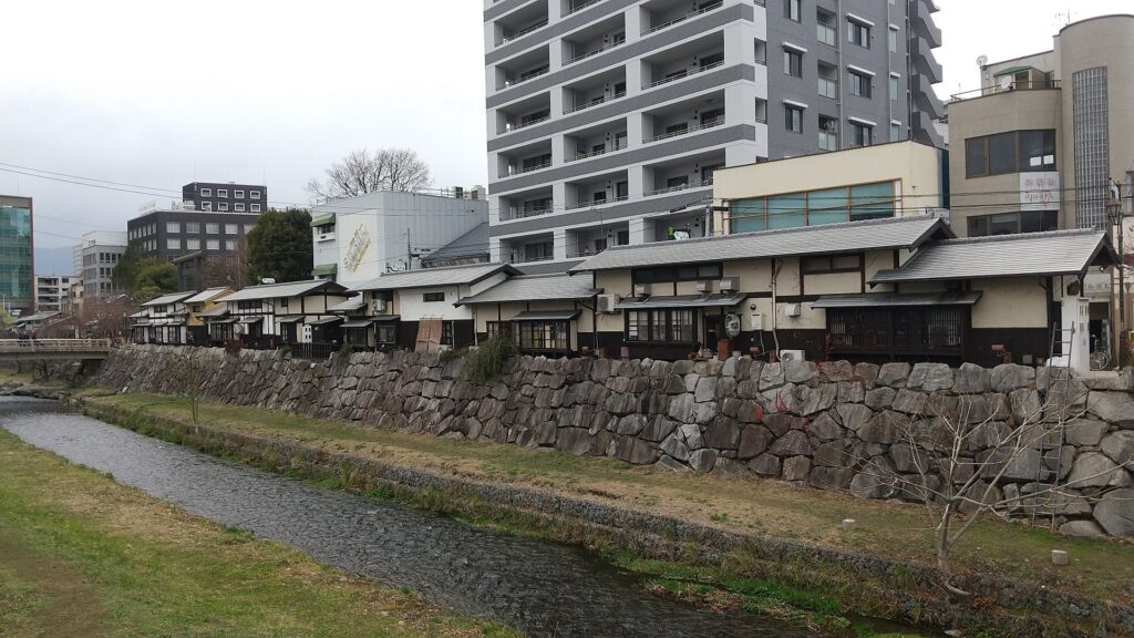
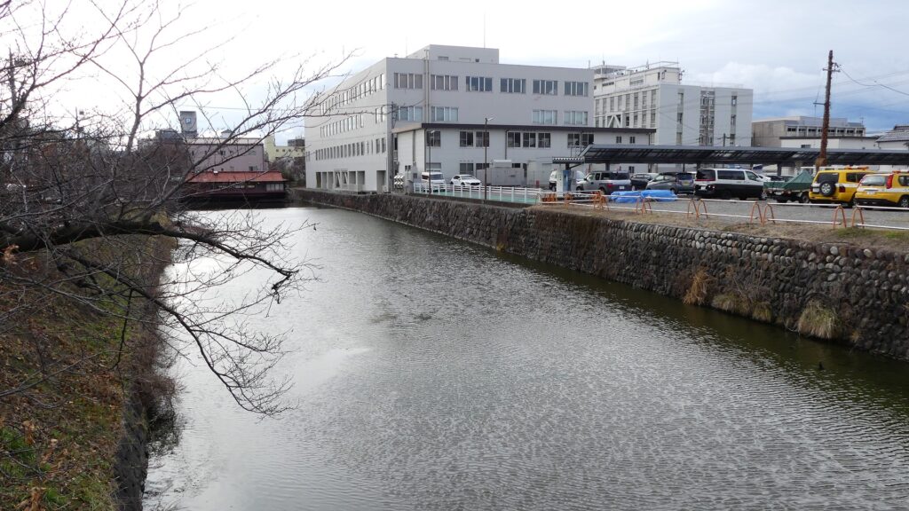
The few remaining outer moat of the eastern part of the castle
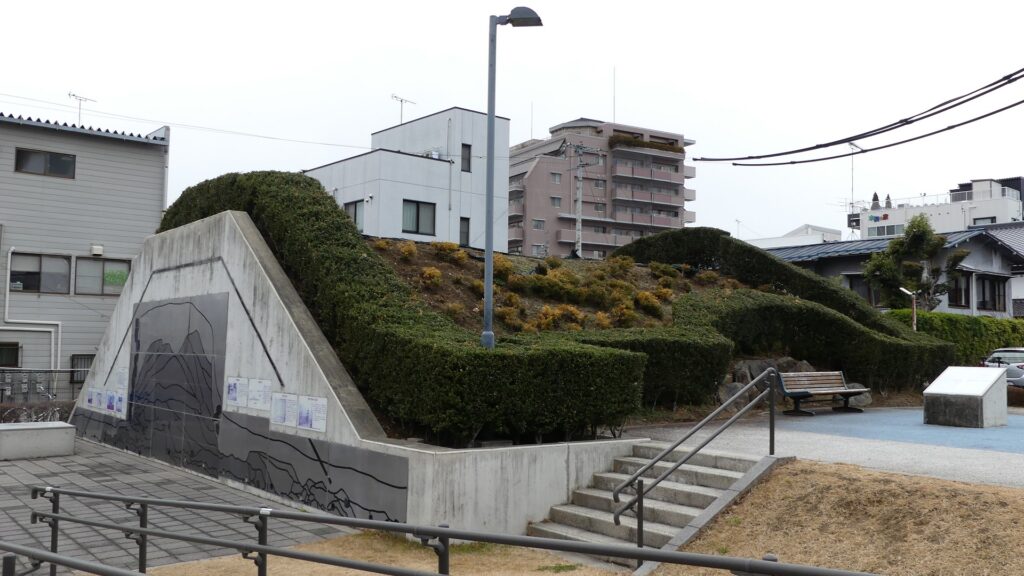
The few remaining earthen walls inside the outer moat, at Nishibori-dorui (the western moat earthen walls) Park
The Metoba River
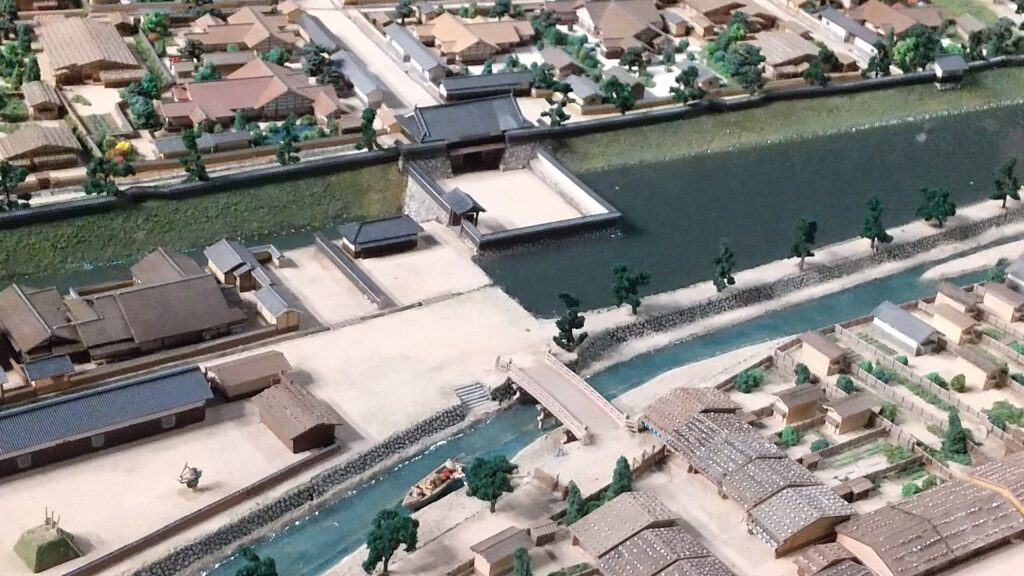
One of the Umadashi systems in the miniature model above, however, they were all removed at the site

A chance for the Ogasawara Clan to revive suddenly came in 1582 when Nobunaga Oda defeated the Takeda Clan before he was also killed by Mitsuhide Akechi in the Honnoji Incident. Sadayoshi Ogasawara who served Ieyasu Tokugawa returned to Fukashi Castle the following year – for the first time in 33 years, his clan held the castle. He renamed the castle Matsumoto to celebrate the event. The new name was said to come from waiting (matsu) for his long-cherished plan (hon-kai, the Chinese symbol for “hon” is also pronounced “moto”). However, the situation rapidly changed. He and his master, Ieyasu were transferred to the Kanto Region in 1590 by the ruler, Hideyoshi Toyotomi. Hideyoshi gave the castle to Kazumasa Ishikawa who had been a senior vassal of Ieyasu but was acquired by Hideyoshi.

The family crest of the Ogasawara Clan, called Sankaibishi (triple diamonds) (licensed by Minamoto at fr.wikipedia via Wikimedia Commons)
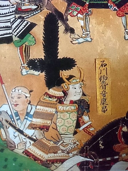
Kazumasa Ishikawa, drawn in the folding screens of “the Battle of Nagashino” (licensed under Public Domain via Wikimedia Commons)

Ishikawa Clan modernizes Castle by building Main Tower

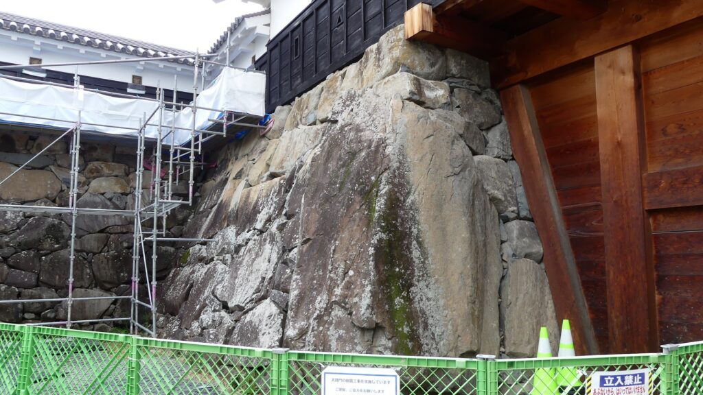
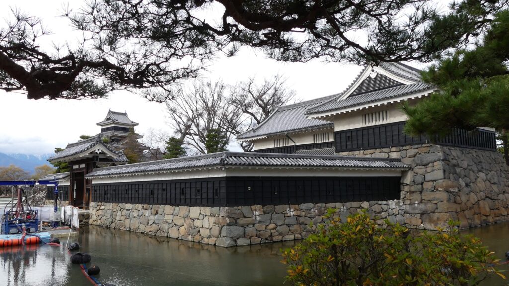
Kazumasa started to modernize the castle using advanced techniques favoured by Hideyoshi, which was continued by his son, Yasunaga after Kazumasa’s death in 1592. Yasunaga built stone walls surrounding each enclosures, including the five-level Main Tower inside the main enclosure. He also replaced the Umadashi system of major gates with the Masugata system. The system refers to a defensive square space surrounded by stone walls and gated buildings. The gates were called Ote-mon (main gate) for the third enclosure, Taiko-mon (drum gate) for the second enclosure, and Kuro-mon (black gate) for the main enclosure. They were completed in 1594. However, local people suffered because of these rapid construction projects. A local legend says that when a worker, who had carried a huge stone for the Taiko-mon Gate, complained about it, Yasunaga heard about it and immediately executed him. Since then, the stone has been called Genba-ishi(stone). Genba was the name of Yasunaga’s official position.
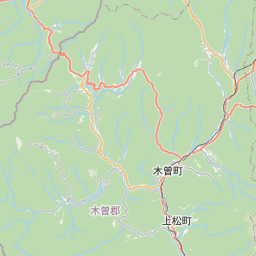
The map around the castle

The main gate in the miniature model above, Metoba River is in front of it
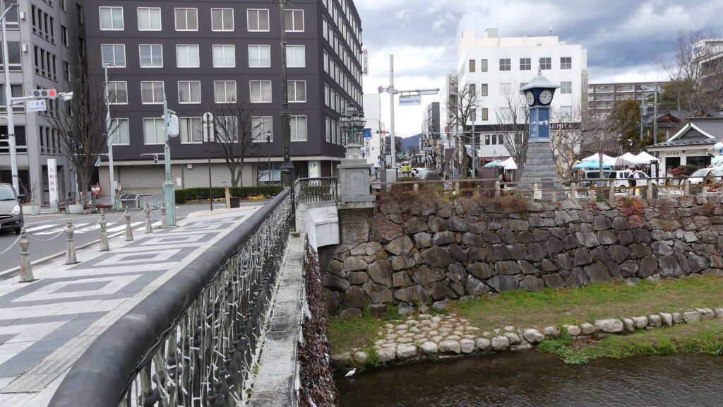
The current main gate ruins
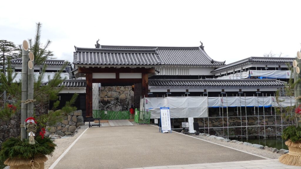
The restored Taiko-mon Gate
The Genba-ishi stone in the gate
The restored Kuro-mon Gate

The castle buildings were allowed to use roof tiles with gold leaf with the special permission of Hideyoshi. Such permission was only given to Hideyoshi’s relatives and trusted senior vassals. Other castles of the trusted vassals, which also used the golden roof tiles, were built around Ieyasu’s Kanto Region in places such as Komoro, Ueda, Kofu, Numata, and Sumpu Castle. These castles (including Matsumoto) formed the anti-Ieyasu network to monitor and threaten him. Yasumasa somehow survived even when Ieyasu gained power after Hideyoshi’s death (the golden roof tiles were then scraped). However, he was finally removed by Ieyasu in 1613. The reasons for this remain unclear, but it was possibly Ieyasu’s revenge against the Ishikawa Clan which had abandoned him.
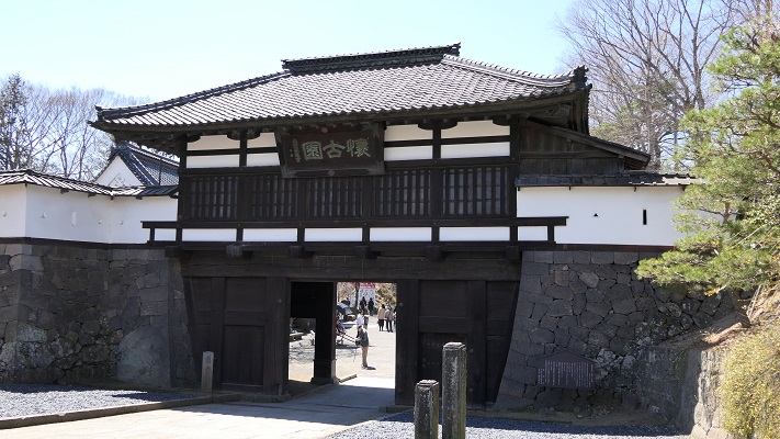
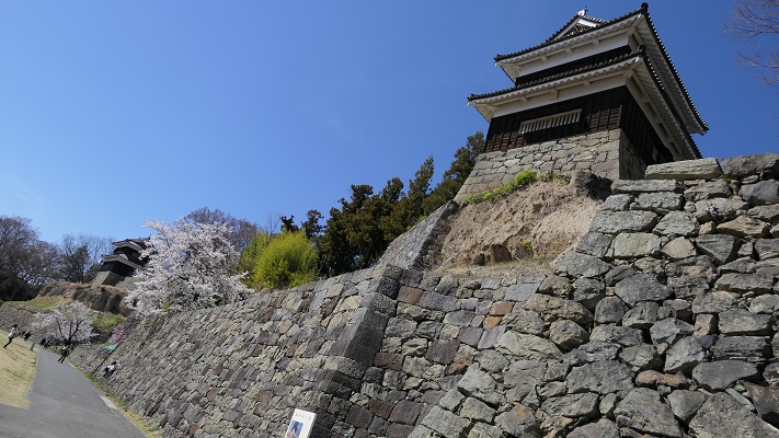
The castles of anti-Ieyasu network

The ruins of Komoro Castle
The ruins of Ueda Castle
The ruins of Kofu Castle
The ruins of Numata Castle
The ruins of Sunpu Castle

Castle is completed with building Tsukimi Turret

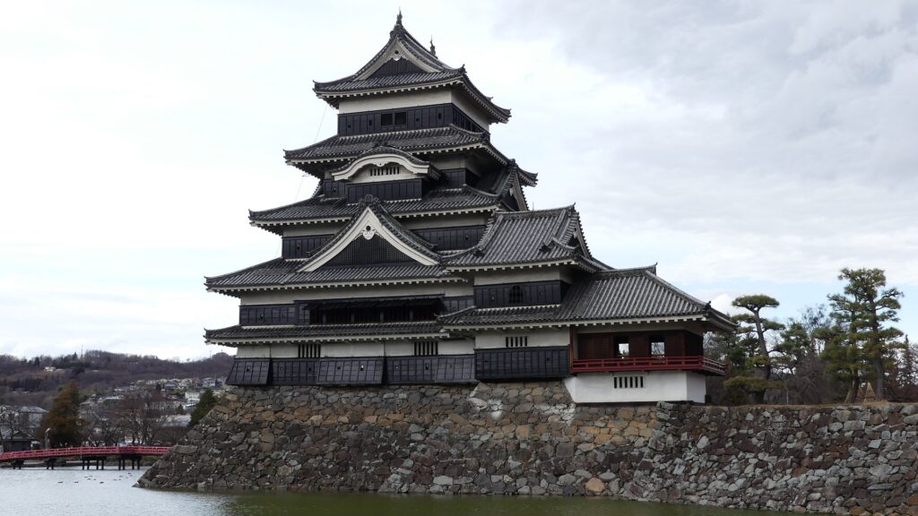
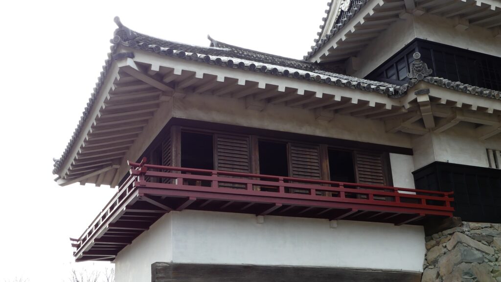
After that, the Ogasawara Clan returned to the castle again but were soon transferred to Akashi Castle in 1617. The castle and the area around it, called the Matsumoto Domain, were followed by the shogun’s relatives and several hereditary feudal lords during the Edo Period. There were also a few important subsequent events for the castle. One of them occurred when Naomasa Matsudaira lived there. He heard about a plan of the shogun, Iemitsu Tokugawa, to visit the castle (though it would be canceled later) and added a new turret called Tsukimi (seeing the moon) Yagura to the Main Tower in 1634. So far, the tower had entirely been designed with battles in mind. This turret, however, was completely built for entertainment. The tower became what we see now, influenced by different tastes.
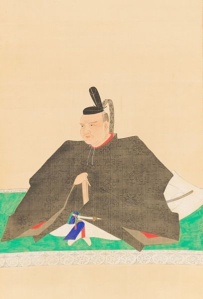
The portrait of Naomasa Matsudaira, owned by Gesshoji Temple (licensed under Public Domain via Wikimedia Commons)
The Tsukimi Turret (appearance)
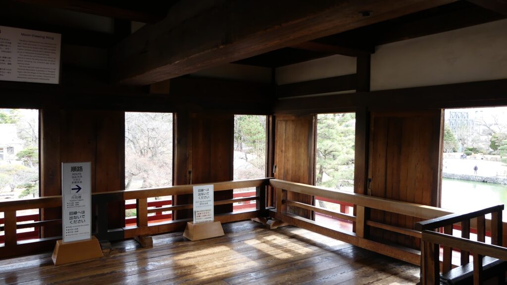
The Tsukimi Turret (interior)
The Main Tower with the Tsukimi Turret on the right

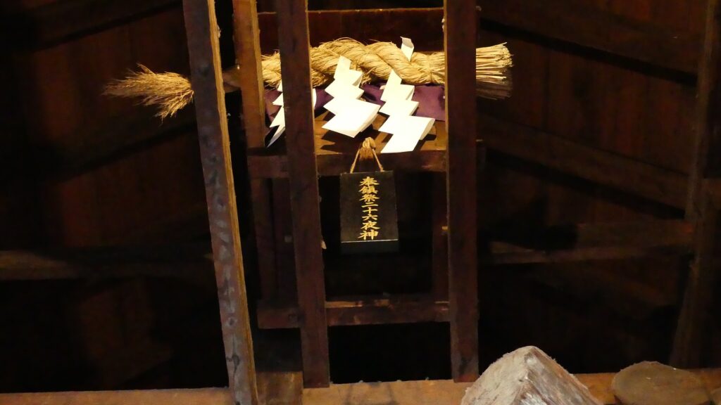
The second occurred during the great fire of Matsumoto in 1727. The Main Hall next to the tower was burned down by the fire; the tower itself fortunately survived. People thought that a god called Nijurokuyashin (the god of the 26th night moon), which was worshiped in the tower, had saved it. In addition, the castle town prospered as the intersection of the Zenkoji Road (from north to south) and the Nomugi Road (from east to west). The town also had many guardhouses to make sure to prevent enemies from reaching the castle easily.
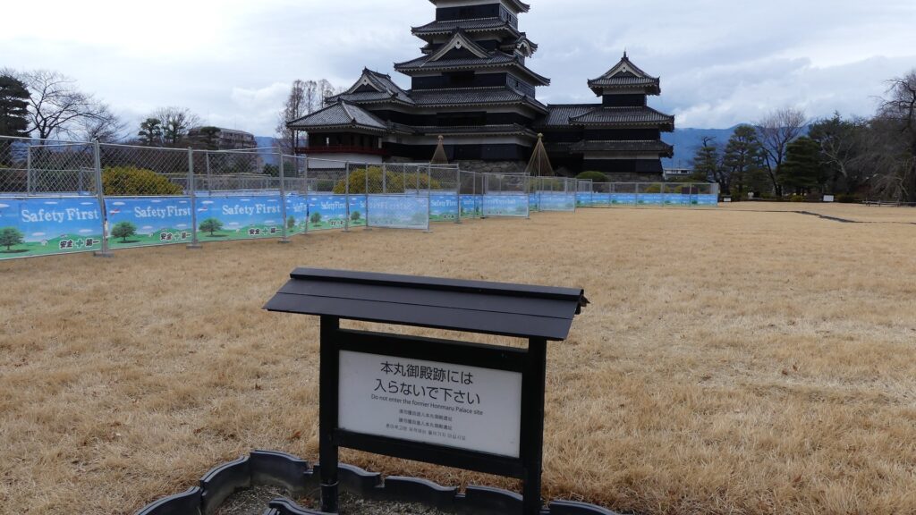
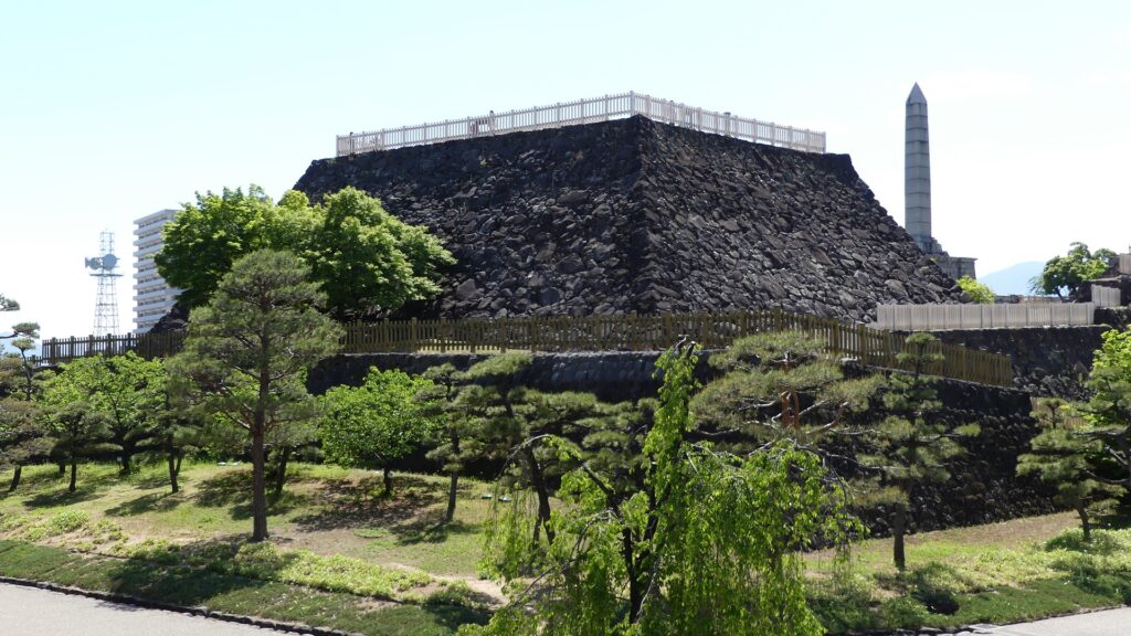
The ruins of the main enclosure main hall
The Nijurokuyashin God, which is still worshiped in the tower
The castle town in the miniature model above
A guardhouse in the model

To be continued in “Matsumoto Castle Part2”

28.小諸城(Komoro Castle)

Location and History

小諸城は少し変なところにありました。この城は、かつての小諸宿、現在の小諸市の中心部のすぐ近くに位置していました。基本的に城というのは周りの土地より高いところに作られました。なぜならその方が守備側から攻めやすく且つ守りやすいからです。また、町の人々に権威を見せつけることもできます。しかしながら、この城は町より低いところにありました。城の中心部に行けば行くほど低くなっていくのです。そんなわけでこの城は「穴城」とも呼ばれています。そんな立地の理由は恐らく城の地形にあるのでしょう。城は、急崖と深い溝を伴った河岸段丘の端にあります。町の反対側から攻めるのは難しすぎます。城の築城者は、利点と不利な点を勘案し妥協したのではないでしょうか。

最新の城周辺の地図(The latest map around the castle)


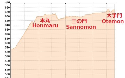
The Komoro Castle had a little strange location. The castle was located just near the Komoro traditional post town, now at the center of the Komoro city. Basically, castles were set on higher places than surrounding areas because that way defenders easily attack and protect against enemies. It can also show authority to people. However, this castle was lower than the town. The more one approaches the center of the castle, the lower the altitude is. So the castle is also called “the hole castle”, “Anajo”. The reason for such a location would be the terrain of the castle. It is at the edge of a river terrace with steep cliffs and ditches. It is too difficult to charge from the opposite side of town. The founder of the castle seemed to compromise between its advantages and a disadvantage.

小諸城の土地の断面図(The cross section of Komoro castle’s ground)

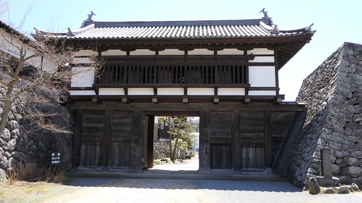
小諸城は最初は15世紀に建てられたと言われています。戦国時代には、武田氏が周辺の地域を支配しました。江戸時代の初期には城主であった仙石氏がこの城を完成させました。防衛の必要性からこの城は町の方向に曲輪を広げていったのです。そして主な曲輪の入り口には、大きく堅固な門がありました。その内の2つの門が現在残っていますが(「三の門」と「大手門」)、他の門は撤去されました。両方とも重要文化財に指定されています。

三の門(Sannomon)

It is said that Komoro Castle was first built in the 15th century. In the civil war period, the Takeda clan governed the area around it. At the beginning of the Edo era, the lord of the Sengoku clan completed the castle. Because of the need for defense, the castle had spread enclosures around the town. The major enclosures had large and well constructed entrance gates. Two of these gates remain now (“the third gate” “Sannomon” and “the main gate” “Otemon”), but the others were demolished. Both are designated as the important cultural properties.

大手門の内側(The inside of Otemon)

Features

城の主要部分は現在、「懐古園」の名で公園として使われています。ここでは桜園、博物館、動物園、そして城跡と見所がたくさんあります。三の門は今、懐古園の正面入り口として使われており、公園の名前が書かれた額と共に移っている写真で日頃から有名です。
The main area of the castle has now been turned into the public park, “Kaikoen”. It offers many attractions like cherry blossoms, museums, a zoo, as well as the ruins of the castle. The Sannomon gate is now used as the main gate of Kaikoen which is usually famous for pictures with the park name tablet.

「懐古園」の額と三の門(The tablet of “Kaikoen” and the Sannomon)

いろいろ楽しんだ後、公園の端の方に行ってみると、少々驚かれるかもしれません。そこは高い崖に囲われていて、周辺一帯の見事な景色を見ることができるのです。そう感じるのは、小諸城の独特の構造によるものなのでしょう。
After enjoying these attractions, when you reach the edge of the park, you might be surprised that the park has a great view of the area around it with high cliffs. That’s because of the structure of Komoro Castle.

城の端地点からの景色(A view from the edge of the castle)

大手門は現在、公園の反対側の方にあります。明治時代に鉄道が城の中を通って、隔てられてしまったからです。この門は一時民間に売却されて、料亭や塾の建物として使われていました。最近になって行政が買い戻して、元の外観に戻す復元工事を行い、今は一般に公開されています。
The Otemon gate is now on the opposite side of the park, as the train line divided the castle in the Meiji era. The gate was once sold to the private sector, and used as a traditional Japanese restaurant or a private school. Recently, officials bought it back, restored it to its original appearance, and now open to the public.

大手門の外側(The outside of Otemon)

(’19-9-5 追記 added)
なお、城には天守が今も残っている天守台の上にありましたが、1626年に落雷により焼け落ちてしまいました。
In addition, the castle had the keep “Tenshu” on the now remaining base of Tenshu. But it was burned down by a stroke of lightning in 1626.

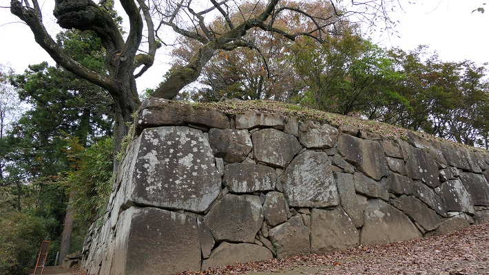
現存する天守台(The remaining base of Tenshu)

Later Life

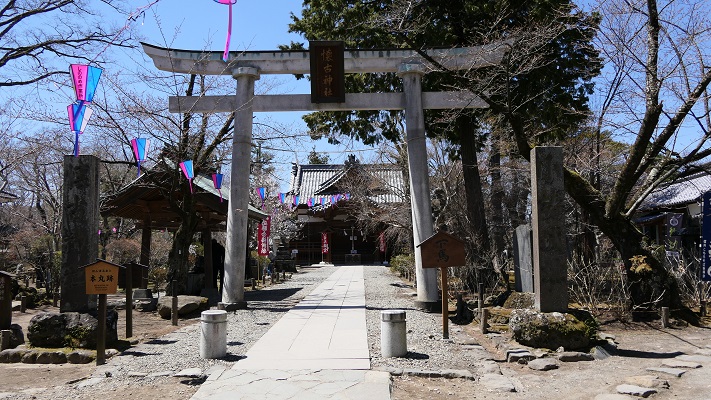
江戸時代が終わったとき、城は廃城となりましたが、小諸藩士の多くがこの城の行く末を憂えました。彼らは資金を集め、城の主要部分を買い取ることができました。そして、そこを「懐古園」と名付け、懐古神社を設立したのです。現在の持ち主(藩士の子孫たち)は、市に公園として貸しているとのことです。

本丸にある懐古神社(The Kaiko shrine at Honmaru area)

When the Edo Period ended. The castle was closed, many of warriors worried about the future of the castle. They collected money and were successful to buy the main area of the castle. They named it “Kaikoen” and established the Kaiko shrine. Now the owners (descendants of the warriors) lend the area to officials as the park.

My Inpression

私も最初はこの城跡は古門や石垣を除いては普通の公園のようだと感じたのです。しかし、奥に歩いていくにつれて、なぜ築城者がここに城を作ったのかわかった気がしました。
At first, I felt that the ruins were just like a park except for the old gates and remaining stone walls. But I walked to the edge of them, and I was able to understand why the founder built the castle there.

自然の地形を生かした堀切(The ditch using natural terrain)

地理に興味がある方は、城の周りを見て歩くのもいいかもしれません。典型的な河岸段丘とともに、高い崖に様々な地層を見ることができます。
For those who are interested in geography, it is a good idea to look around the area. You can see geological formations on the high cliffs with typical river terraces.

近くの崖に見られる地層(A geological formatioon on a cliff nearby)

How to get

ここに行くには電車がベストでしょう。なにしろ小諸駅が城の一部であった所にあるからです。車で行く場合には、懐古園に駐車場があります。
東京から小諸駅まで:北陸新幹線で軽井沢駅まで行き、しなの鉄道の普通列車に乗り換えてください。

It is best to use train to access it, as the Komoro train station was built on part of the castle area. When using a car, the Kaikoen park offers a parking lot.
From Tokyo to Komoro st.: Get the Hokuriku Shinkansen super express to Karuizawa st., and transfer to the Shinano Railway local line.

Links and References

こもろ観光局(The Komoro Tourism Bureau)