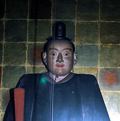
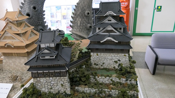
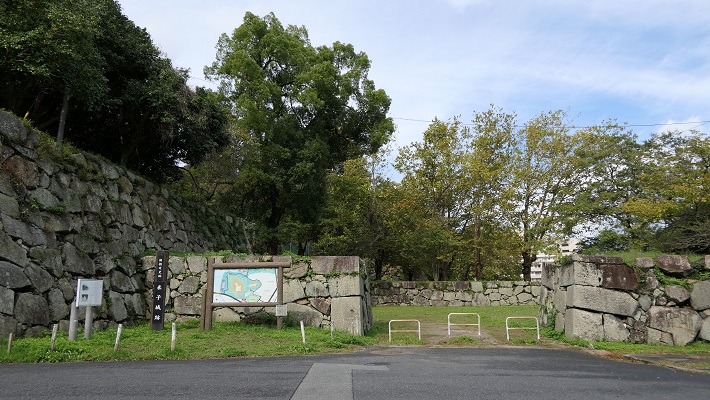
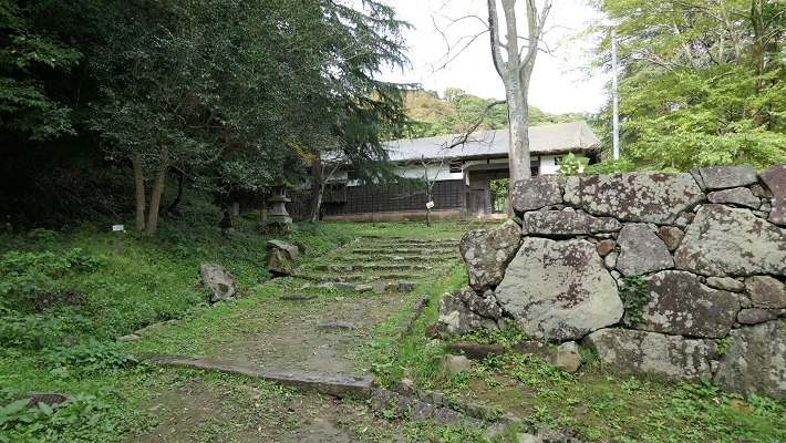
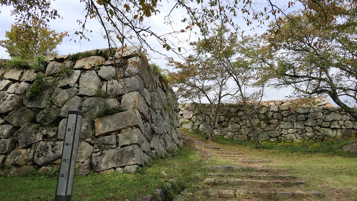
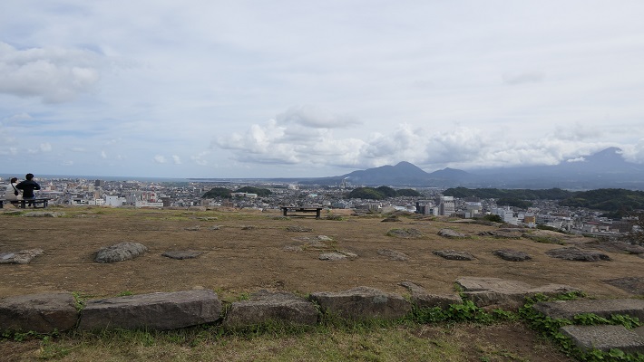
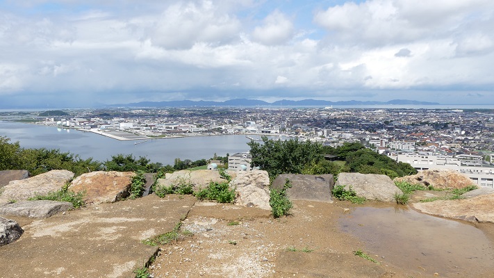
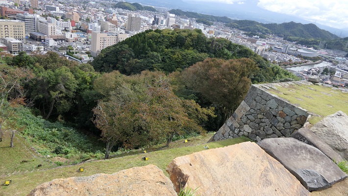
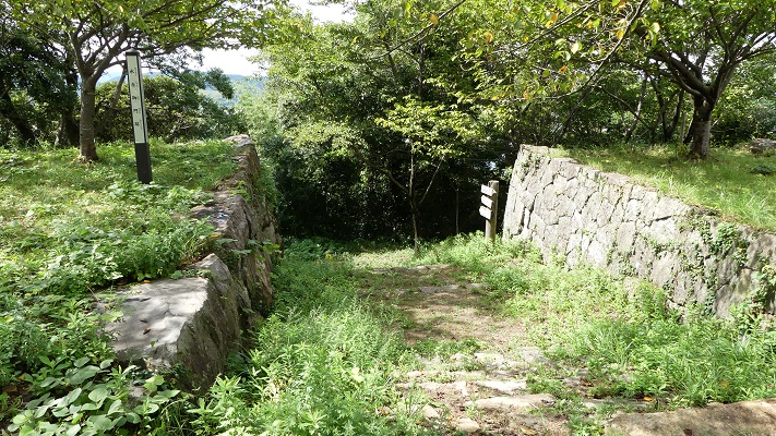
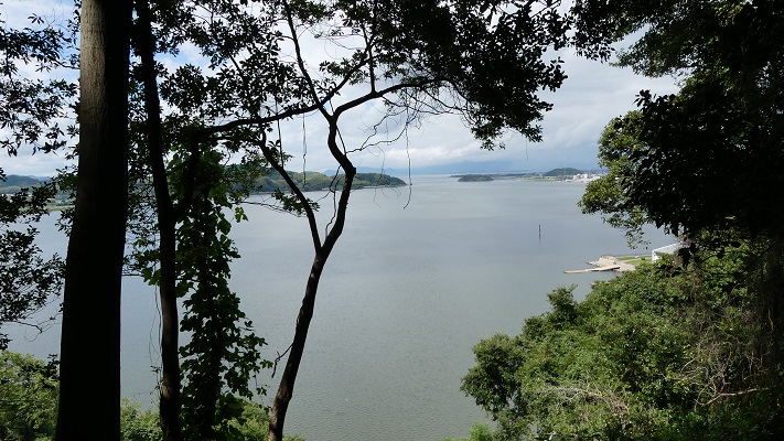
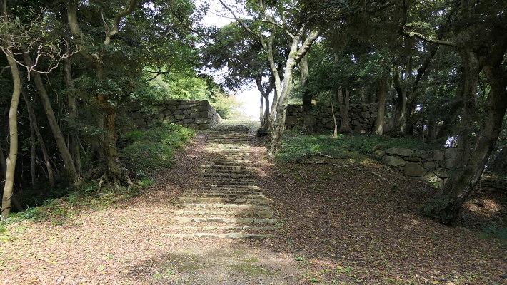
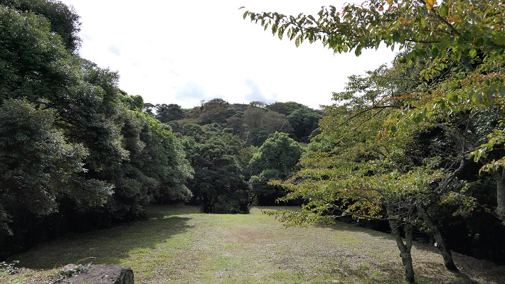
21.江戸城その2~Edo Castle Part2

江戸は、水の都だったのです。
Edo was a city of waterways.

葛飾北斎「富嶽三十六景」より「江戸日本橋」、江戸時代~”Nihonbashi Bridge in Edo” from the series “Thirty-six Views of Mount Fuji” attributed to Hokusai Katsushika in the Edo Period(licensed under Public Domain via Wikimedia Commons)

特徴~Features

今となっては、ほとんどの人が東京が水の都とは思わないでしょう。ところが、実は江戸はそうだったのです。徳川氏が江戸に移ってきたとき、江戸城は現在の山の手区域にありました。現在の下町にあたる地域は海の下にあったか、湿地帯でした。そして江戸前島と呼ばれた砂州が存在していました。また、陸地と砂州の間には日比谷入江が入り込んでいました。徳川の家臣団は、江戸前島を横切る運河を掘り、水運の便のために川筋を変更したのです。
These days, most people don’t realize that Tokyo is a city of waterways. However, Edo actually was. When the Tokugawa clan moved into Edo, Edo Castle was in the present uptown area. The present down town area was below the sea or waterlogged. There was a sand bank called Edo-Maeto. There was also the Hibiya arm of the sea between the land and the bank. Tokugawa’s team created a canal across Edo-Maeto and change the route of rivers for water transportation.

東京中心部のカラー標高図にコメント付加、江戸前島と日比谷入江の痕跡がわかります~The color altitude map of central Tokyo, adding comments, you can see traces of Edo-Maeto and the Hibiya arm of the sea(出典:国土地理院)

日比谷入江から江戸前島の東側に川筋を変更して作られた運河が、日本橋川でした。そこには現在日本橋がかかっています。この橋は昔ながらの姿で知られており、多くの主要道路の出発地点でもあります。
A canal created for changing the route of the river from the Hibiya arm of the sea to east of Edo Maeto is Nihonbashi River, where Nihonbashi Bridge goes across. The bridge is known for a traditional view and the starting point of many major roads.

日本橋~Nihonbashi Bridge
1911年に完成直後の現存日本橋~The remaining Nihonbashi Bridge just after the complition in 1911(licensed under Public Domain via Wikimedia Commons)
日本橋にある日本国道路元標~The starting milestone of Japan at Nihonbashi Bridge(licensed by Aimaimyi via Wikimedia Commons)
歌川広重「東海道五十三次」より「日本橋」、江戸時代~”Nihonbashi Bridge” from the series “Fifty-three Stations of Tokaido” attributed to Hiroshige Utagawa in the Edo Period(licensed under Public Domain via Wikimedia Commons)

事実、この橋の下を流れる川は人工物で、それは400年以上前に作られたものなのです。この川からは、江戸前島の中心を通る外堀が分かれていました。
In fact, the river below the bridge is artificial and was created over 400 years ago. From the river, the outer moat separated out trough the center of Edo Maeto.

日本橋川~Nihonbashi River
戦前の有楽町付近の外堀~The outer moat near Yurakucho before World War II(licensed under Public Domain via Wikimedia Commons)

徳川は、城の敷地を広げるためと防衛上の必要から日比谷入江を埋め立てました。更に、江戸前島の周りの海も市街地の確保のため埋め立てたのです。一方で、海の一部分は埋め残して堀、川や運河としました。結果として、江戸は水路とともに広がっていきました。今だにその痕跡は現代の地図上に残っています。それらをいつくか巡ってみましょう。
Tokugawa reclaimed the Hibiya arm of the sea to expand the ground for the castle as well as the need for defense. They also filled the sea around Edo Maeto to create the city area. Meanwhile, they left part of the sea as moats, rivers and canals. As a result, Edo city was spread with waterways. There are still traces of them on the present map. Let’s see some examples.

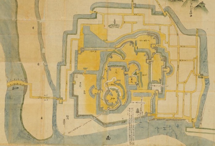
江戸時代初期の江戸推定地図~The estimated map of Edo in the first Edo Period(国土交通省Websiteから引用)

MarkerMarkerMarkerMarkerMarkerMarkerMarkerMarkerMarkerMarkerMarkerMarkerMarkerMarker
Leaflet, © OpenStreetMap contributors
赤い線は現在の地図に残された江戸前島と日比谷入江の痕跡、マーカーは以下の項目に関連しています~The red line shows the remaining trace of Edo-Maetou and Hibiya Arm of the Sea on the present map, markers are related with the following items

愛宕神社~Atago Shrine

ここは急坂に「出世」の階段があることで有名です。日比谷入江の入り口の近くにあたります。
It is famous for its steep steps of “success”. It was near the entrance of the Hibiya arms of the sea.

愛宕神社の鳥居~The Torii Gate of Atago Shrine
出世の階段、馬にのってこの階段を登り切った武士は出世できると言われていました~The Steps of Success, it was said that if a warrior riding a horse could get the top, he would be promoted

赤坂1丁目交差点~Akasaka-icchome intersection

ここは溜池から流れる川の河口でした。外堀の一部に転用されました。
This was the estuary of the river from Tameike. It was turned into a part of the outer moat.

赤坂1丁目交差点に向かいます~Going to Akasaka-icchome intersection
かつて外堀であった「外堀通り」~”Sotobori Street” which means outer moat street, former the outer moat
今に残る外堀の石垣~Remaining stone walls alomgside the outer moat

潮見坂~Shiomi slope

霞ヶ関官庁街の中にあります。ここは日比谷入江の西際だったようです。
It is among Kasumigaseki governmental ministries. It seems to be the west edge of the Hibiya arm.

潮見坂~Shiomi Slope

桜田門周辺~Aroud Sakurada-mon Gate

この門の近くに別の川の河口があったようです。内堀の一部として残っています。
This seems to be the estuary of another river near the gate. It remains a part of the inner moat.

桜田門~Sakurada-mon Gate
桜田濠と呼ばれる内堀の一部~A part of the inner moat called Sakurada-bori

皇居正門~The main entrance of Imperial Palace

宮殿は西の丸だった所にあります。正門前の内堀は元は海でした。
The palace is on what was Nishinomaru enclosure. The inner moat in front of it was originally the sea.

皇居正門と石橋~The main entrance of Imperial Palace and The Stone Bridge
西の丸は高い所にあります~Nishinomaru enclosure is in a high place

皇居外苑~The Outer Gardens of the Imperial Palace

ここは完全に海で、周りの内堀を残して埋め立てられました。
This was completely a sea, and filled without the inner moat around.

皇居外苑~The Outer Gardens of the Imperial Palace

坂下門~Sakashita-mon Gate

門の周辺の内堀は、もともと川や谷だった所を使っています。
The inner moat around the gate uses the original rivers and valleys.

坂下門~Sakashita-mon Gate
門周辺の内堀~The inner moat around the gate

大手門周辺~Around Ote-mon Gate

ここには日比谷入江に注ぐ平川の河口がありました。
This was the estuary of Hirakawa River emptied into the Hibiya arms of the sea.

大手門~Ote-mon Gate
大手門前の内堀~The inner moat in front of Ote-mon Gate

和田倉門~Wadakura-mon Gate

日比谷入江の一番奥の場所にあたります。和田倉とは海岸にある倉庫の意味です。
This was the inmost place of the Hibiya arm of the sea. Wadakura means warehouse st seashore.

和田倉門~Wadakura-mon Gate
ここが最奥だった地点か?~Was this the inmost spot?

日比谷公園~Hibiya Park

内堀の石垣跡が休憩所として活用されています。
The ruins of stone walls for the inner moat is used for a resting place.

日比谷公園の休憩所~The resting place of Hibiya Park
それは石垣の上にあります~It is on the stone walls

山手線の側面~The side of Yamanote line

レンガ造りの高架鉄道は元から陸地の所だから可能だったと言われています。
It is said that the elevated red brick railway could be available on the primary land.

山手線のレンガ作りの高架鉄道~The elevated red brick railway of Yamanote line

新橋跡~The ruins of Shinbashi bridge

この橋は汐留川にかかっていましたが、元は江戸前島の突端にあたります。
The bridge went across Shiodome-gawa River which was originally the edge of Edo Maeto.

現存する新橋の親柱~The remaining newel post of Shinbashi Bridge

銀座の裏通り~The back street of Ginza

江戸前島の東海岸を利用して作られた三十間堀川がここを流れていました。
Sanjukkenbori River went through it and it was built using the east coast of Edo Maeto.

銀座の裏通り、ここも海や川でした~The back street of Ginza, it was also the sea or river

首都高速都心環状線~The Tokyo Metropolitan Expressway Ring Route

ここは楓川と、ドックのような形の舟入堀がありました。この川は日本橋川につながっていました。
This was Kaedegawa River with several Funairi moats like docks. The river connected to Nihonbashi River.

首都高速都心環状線、元楓川~The Tokyo Metropolitan Expressway Ring Route, the former Kaedegawa River
かつては楓川を渡っていた橋、A bridge which went across Kaedegawa River in the past

その後~Later Life

明治維新後、城の多くの建物は撤去されましたが、多くの水路は残りました。人々がまだ使っていたからです。一例として、東京の魚市場は1923年の関東大震災まで日本橋川沿いにありました。地震の後になって築地に移転したのです。
After the Meiji Restoration, many buildings of the castle were demolished, but many waterways remained, because people still used them. For instance, the fish market in Tokyo was along Nihonbashi River until the Great Kanto Earthquakes in 1923. After that, the market moved to Tsukiji.

明治初期の東京中心地の地図、まだ多くの水路がありました~The map of central Tokyo in the early Meiji Era, there were still a lot of waterways
日本橋の魚市場~The Fish Market at Nihonbashi(licensed under Public Domain via Wikimedia Commons)

第二次世界大戦後、一部の外堀が焼けた建物の残骸により埋められました。今の外堀通りです。
After World War II, part the outer moat was filled by the debris of burned buildings. It has become Sotobori Street.

外堀通り~Sotobori Street

昭和の中期に車が普及し、1959年には、1964年の夏のオリンピックが東京で開催されることが決まりました。東京の交通インフラ、特に高速道路を整備するための時間はわずかしかありません。政府は高速道路の用地として残っていた水路を使わざるをえませんでした。買収する必要がないからです。東京のほとんど全ての水路が消え失せました。
In the mid Showa Era, motorization came and it was decided in 1959 that the 1964 summer Olympics in Tokyo would be held. There would be little time to develop the infrastructure for transportation in Tokyo, especially an expressway. The government had to use the remaining waterways as the land for the expressway. Because they didn’t need buy them. Almost all of the waterways in Tokyo died out.

京橋川上に建設中の高速道路、1960年~The expressway under construction above Kyobashigawa River in 1960(licensed under Public Domain via Wikimedia Commons)

日本橋と日本橋川は歴史的価値があるため、かろうじて残されました。そのため高速道路がその上を走っているのです。日本橋地域の人たちは、古き良き景観を取り戻すため政府に対し高速道路を地下に移すよう請願しています。
Nihonbashi Bridge and Nihonbashi River have survived due to their historical values. That’s why the expressway goes above them. Now, people in the Nihonbashi area urge the government to move the expressway underground to get its good old landscape back.

日本橋上の高速道路~The expressway above Nihonbashi Bridge

「江戸城その3」に続きます。~To be continued in “Edo Castle Part3”
「江戸城その1」に戻ります。~Back to “Edo Castle Part1”

95.岡城~Oka Castle

武士たちはこの「天空の城」を最後まで守り抜きました。
Warriors protected this “Sky” Castle till the end.

三の丸の高石垣~The high stone walls of Sannomaru

立地と歴史~Location and History

岡城には有名な古の武将、源義経にまつわる伝説があるのですが、定かではありません。南北朝時代になって、大友氏配下の志賀氏が最初にこの城を築いたと言われています。この城は、現在の大分県の「天神山」という岩山にあり、大野川と稲葉川という二つの川に挟まれていて、それらがこの城を難攻不落たらしめていました。事実、戦国時代後半に島津氏の攻撃を三度に渡り撃退しています。
Oka Castle has a legend about its origin of a famous ancient general, Yoshitsune Minamoto. However it is uncertain. It is said that in the period of Northern and Southern Courts, the Shiga clan under Otomo clan first built the castle. The castle was located on a rocky mountain called “Tenjin-Yama” in now Oita Prefcture, sandwiched by two rivers, “Ono-Gawa” and “Inaba-Gawa” making it impregnable. Actually, the castle repelled the Simadu clan’s attacks three times in the late Warring States Period.

Marker
岡城Oka Castle
Leaflet, © OpenStreetMap contributors
城周辺の地図~The normal map around the castle

Marker
岡城Oka Castle
Leaflet|国土地理院
城周辺の起伏地図~The relief map around the castle

豊臣氏の支配下、中川秀茂が城主として派遣されました。城の範囲は山の全域に広がりました。彼はまた、天守、高石垣、そして大手門、近戸門、下原門という三つの門を作りました。そして城の西の方に、「竹田」という新しい城下町も作りました。
Under the Toyotomi clan’s governance, Hideshige Nakagawa was sent as the lord of the castle. The range of the castle was spread to the entire mountain. He also built the Tenshu keep, high stone walls and three entrance gates – Ote-Mon, Chikado-Mon, and Shimobaru-Mon”. He created the new castle town called “Taketa” in the west.

中川秀茂肖像画、碧雲寺蔵~The portrait of Hideshige Nakagawa, owned by Hekiunji Temple(licensed under Public Domain via Wikimedia Commons)

彼の子孫は、城と城下町を江戸時代を通して統治しました。そして戦いの準備のため、きびしい決まりを維持したのです。例えば、彼らは山の上の不便な住居に暮らし続けました。訪問者は門で厳密にチェックされ、入城を許されても藩士が常に付いて回りました。城内の畳は、籠城のときの食料とするため甘芋蔓によって作られました。岡城は山の上にあるため、頻繁な修繕を必要とします。更には火事や地震にも度々襲われました。その結果年貢は重くなり、百姓は「四原一揆」として知られる一揆を起こしたりしました。
His descendants continued to govern the castle and the town all through the Edo Period. They kept their strict rules to prepare for a battle. For example, they were living in inconvenient residences on the mountain. Visitors were checked very strictly at the gates, even if permitted to enter, clansmen always attended to them. Tatami mats were made from sweet-potato vines for food in case of a siege. Because Oka Castle was on the mountain it needed frequent maintenance. It often suffered from disasters like fires and earthquakes. Because of this taxes were high. The farmers rioted in an incident known as “Yoharu Ikki”

豊後国直入郡岡城絵図、江戸時代~The illustration of Oka Castle in Naoiri District, Bungo Province, in the Edo Period(出典:国立公文書館)

特徴~Features

現在、岡城の城跡には建物は残されていません。でも独特の雰囲気が漂っています。通常は遺跡の正門である「大手門」から入ります。石造りの曲がりくねった坂道が門の跡に通じています。
Presently, the ruins of Oka Castle have no buildings, but have a unique atmosphere. Visitors usually enter from the ruins of the main gate “Otemon”. A zigzagged slope made of stones leads you to the gate ruins.

岡城の正面入り口~The main entrance of Oka Castle

道の石造りの手すりは丸みを帯びていて「かまぼこ石」と呼ばれています。それはまた苔むしていて、とても美しく見えます。
Its stone fences are round-shaped and called semicylindrical stone “Kamaboko-Ishi”. They are also mossy and look very beautiful.

「かまぼこ石」と呼ばれる手すり~The stone fences called “Kamaboko-Ishi”
苔生した石垣と手すり~The mody stone walls and fences

門を過ぎると、「西の丸」と呼ばれた比較的広い場所があり、江戸時代には藩主の住む御殿がここにありました。
Passing through the gate, there is a relatively wide place called “Nishi-no-Maru” where the main hall for the lord was in the late Edo Period.

大手門跡~The ruins of Ote-Mon
西の丸跡~The ruins of Nishi-no-Maru

城跡の真ん中辺り、山が狭くなっている所が城の中心部分で高石垣に囲まれています。特に「三の丸」にある高石垣が観光客の間で有名です。でも、写真を撮るときは足元に十分気を付けてください。
In the center, you can see the main part of the ruins on a narrow hill surrounded by high stone walls. In particular, the ones in “San-no-Maru” are very popular among tourists. However, watch your step when taking pictures.

三の丸高石垣をもう一枚~Another shot of Sannomaru high stone walls

阿蘇山といった周りの景色の眺めも素晴らしいです。
You can also enjoy the surrounding landscape such as Mt.Aso.

城跡から見た阿蘇山の眺め~A view of Mt. Aso from the ruins of the castle
大野川に沿った道路を見下ろす~Overlooking the road along Ono River

城跡の裏側には「下原門」があります。この門は、志賀氏がいた時代には正面口として使われていました。
The back of the ruins are the gate “Shimobaru-Mon”. The gate was used as the main entrance in the Shiga clan’s Era.

下原門跡~The ruins of Shimobaru-Mon

反対側に戻ったら、通用門として使われた「近戸門」から外に出てみてはいかがでしょう。通用門といっても石組は精巧に作られています。「七曲り」と呼ばれた外に続くつづら折りは、石垣と石畳によりすごく見栄えがします。
Going back to the opposite, why not come out of the ruins of the gate “Chikado-Mon” which was used for the side gate, but its stone base has been elaborated. The outside winding road called “Nana-Magari” is good looking with stone walls and stone pavement.

近戸門跡~The ruins of Chikado-Mon
近戸門につながる道~The road connecting Chikado-Mon
近戸門下のつづら折り~The winding road under Chikado-Mon

Later Life

明治維新後、城を維持する必要はなくなりました。武士だった人たちは皆この不便な住居から町の方に移っていきました。城は荒廃しました。全ての建物は二束三文で売られていきました。若き作曲家、滝廉太郎はこの城跡を見て、有名な「荒城の月」を作りました。二の丸の地に彼の銅像があります。
After the Meiji Restoration, there was no need for keeping the castle. Former warriors all moved to town from this inconvenient residence. The castle ran to ruin. All the buildings in it were sold at a low price. A young composer, Rentaro Taki created a famous song called “Moon over the Ruined Castle” “Kojo-no-Tsuki” after looking at the ruins. You can see his statue at Ni-no-Maru.

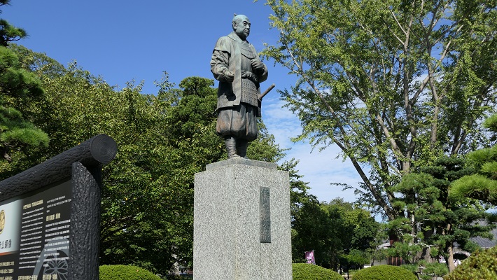
二の丸跡にある滝廉太郎像~The statue of Rentaro Taki in the ruins of Ninomaru(licensed by As6673 via Wikipedia Commons)

地元の人たちは、1886年に最初に記念碑をこの地に建てました。1936年には、城跡は国の史跡に指定されます。現在、ここは桜の名所としても有名です。 Local people built the first monument in the ruins in 1886. They were designated as a National Historic Site in 1936. Now, they are known for cherry blossoms as well.

岡城跡の桜~The cherry blossoms in the ruins of Oka Castle(taken by kotoM from photoAC)

私の感想~My Impression

300年近くもの間、平和な江戸時代の間でさえ武士たちが岡城に住み続けたことにとても驚きました。彼らは長い間いつ起こるかわからない戦争のために備えていたのです。城を離れなければいけなくなったとき、武士たちがどう思ったのか知りたいところです。
I was surprised to know that warriors had been living in Oka Castle for nearly 300 years, even in the peaceful Edo Period. They were prepared for an unexpected war for a long time. I wish I was able to know how they felt when they had to leave the castle.

岡城の断崖~The cliff of Oka Castle

ここに行くには~How to get There

JR豊後竹田駅から歩いて30分近くかかります。
大分空港から臼杵駅まで:
大分駅行き空港アクセスバス(エアライナー)に乗り、大分駅でJR豊肥本線に乗り換えてください。
車で行く場合:大分自動車道大分光吉ICから約60分、または九州自動車道熊本ICから約90分。城跡には大きな駐車場があります。
It takes nearly 30 minutes From JR Bungo-Taketa station to get there on foot.
From Oita Airport to Bungo-Taketa st.:
Take the Airpor Eepress Airliner bus to Oita station, and transfer at the station for JR Houhi line.
If you want to go there by car: It takes about 60 minutes from the Oita-Mitsuyoshi IC on Oita Expressway, or about 90minutes from the Kumamoto IC on Kyushu Expressway. The ruins offers a large parking lot.

リンク、参考情報~Links and References

竹田市岡城跡(Only Japanese)
・「豊後岡城物語 義経、秀吉から「荒城の月」まで」吉田健二著(Japanese Book)
・「よみがえる日本の城20」学習研究社(Japanese Magazine)
・「歴史群像2015年12月号/戦国の城・豊前岡城」学研プラス(Japanese Magazine)

193.臼杵城~Usuki Castle

「丹生島」と呼ばれた島の全体が城そのものでした。
The whole of an island called “Niu Island” was the castle itself.

西側から見た「丹生島」の全景~The whole view of “Niu Island” from the west

立地と歴史~Location and History

臼杵城は、もともと「丹生島城」と呼ばれていて、こちらの方が歴史ファンにはなじみがあるかもしれません。なぜならここは戦国時代に大友氏と島津氏の間で起こった有名な「丹生島城の戦い」の舞台となったからです。大友氏は北部九州地方において6箇国を領有し、その本拠地は豊後国の府内、現在の大分市にありました。
Usuki Castle was originally called “Niu Island Castle” which is rather popular among history fans. Because there was a famous battle between the Otomo and Shimadu clans called “the Battle of Niu Island Castle” in the Warring States Period, Otomo clan had their territory of six provinces in the north part of Kyushu region, whose home base was in Funai of Bungo Province, now called Oita City.

16世紀中頃の大友氏の勢力圏~The Otomo clan’s territory in the mid 16th century(licensed by Alvin Lee via Wikimedia Commons)

大友宗麟は、1561年に毛利氏との戦いに敗れた後、より防御力の強い拠点を作る必要を感じました。宗麟は、臼杵湾にある岩でできた丹生島に新しい本拠地を作る決断をします。この島は約4kmの外周があり、海面から15mの切り立った岩崖がありました。更には、この城は引き潮のときは砂浜経由で行き来できましたが、満ち潮のときは完全に陸地から離れていました。もし戦いが起こった場合、十分な兵糧か水軍による補給があれば、長期間の籠城が可能となっていました。
Sorin Otomo found his clan in need of building a more defensive site after they were beaten by the Mori clan in 1561. He decided to build their new base castle on the rocky Niu Island in the Usuki Bay. The island was about 4 km surroundings in length, and 15m height from sea surface with vertical rock cliffs. In addition, the castle was accessible through the sandy beach at low tide, or completely isolated from land at high tide. If a battle happened, it could persevere for a long time with enough supply of its own or from the Navy.

大友宗麟肖像画、瑞峯院蔵~The portrait of Sorin Otomo, owned by Zuihoin(licensed under Public Domain via Wikimedia Commons)

Marker
臼杵城Usuki Castle
Leaflet|国土地理院
城周辺の起伏地図~The relief map around the castle

「丹生島」の切り立った岩の崖~The vertical, rocky cliff of “Niu Island”

この想定は1586年に南九州から島津氏が大友氏の領地に侵攻したときに現実となりました。宗麟は、天下人の豊臣秀吉に救援を求めましたが、島津氏は秀吉からの援軍が到着する前に全九州地方を征服しようとしました。島津の軍勢はこの城を取り囲み、大友は運命は風前の灯のようでした。そのとき、大友方の最終兵器として「国崩し」との異名を持ち、ポルトガルから輸入されたフランキ砲が火を噴き、島津を駆逐したと言われています。大友は滅亡を免れました。島津は城の攻略をあきらめて撤退し、最後は秀吉に降伏をしました。大友もまた苦難を避けられず、宗麟の子息、義統は後に秀吉により改易されました。
The assumption came true when Shimadu clan’s invasion from the south Kyushu assaulted Otomo’s territory in 1586. Sorin asked the ruler Hideyoshi Toyotomi for help, but Shimadu tried to conquer all of Kyushu region before the reinforcements from Toyotomi arrived. Shimadu’s troops surrounded the castle while Otomo was like a candle flickering in the wind. However, it is said that Otomo’s ultimate weapon, Breech-loading swivel gun imported from Portugal, nicknamed “Destroyer of nations”, eliminated Simadu before Otomo escaped death. Shimadu gave up to capture the castle, withdrew, and surrendered to Toyotomi in the end. Otomo were also not without trouble, because Sorin’s son, Yoshimune was fired later by Toyotomi.

島津軍を率いた島津義弘肖像画、尚古集成館蔵~The portrait of Yoshihiro Shimasu, the head of the Shimadu troop, owned by Shoko Shuseikan Museum(licensed under Public Domain via Wikipedia Commons)

江戸時代には、この城は臼杵藩の所有となり、主に「臼杵城」と呼ばれるようになりました。城の範囲は島の外に広がり、便益のために「大手門」や「三の丸」が設置されました。
In the Edo Period, the castle was in the Usuki Domain, mainly called “Usuki Castle”. Its range spread outside the island setting the main gate “Otemon” and the third enclosure “Sannomaru” for convenience.

「豊後之内臼杵城絵図」部分、江戸時代~Part of the illustration of Usuki Castle in Bungo Province, in the Edo Period(出典:国立公文書館)

特徴~Features

臼杵城は「臼杵公園」となっています。公園は今では完全に陸地の一部になっていますが、以前は島だったというのがその形からわかります。なぜなら今では島の代わりに岩山のように見えるからです。
The ruins of Usuki Castle has become “the Usuki Park”. The park is now completely part of land, but you can see the shape of the former island. Because it looks like a rocky hill instead of an island.

MarkerMarkerMarkerMarkerMarker
Leaflet, © OpenStreetMap contributors
城周辺の地図~The normal map around the castle

MarkerMarkerMarkerMarkerMarker
Leaflet|国土地理院
城周辺の航空写真~The aerial photo around the castle

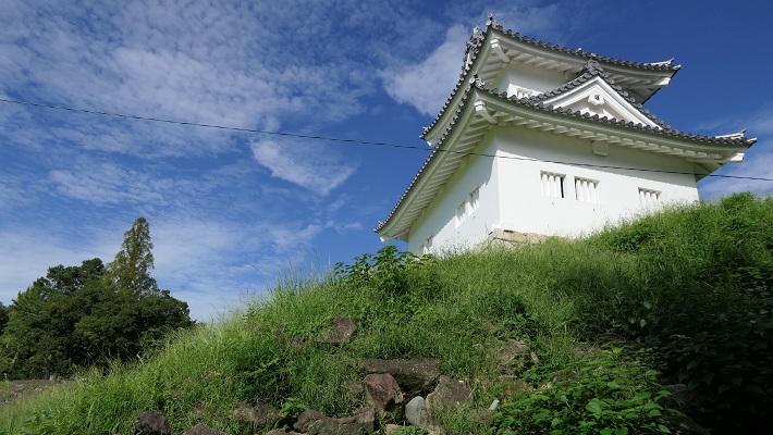
最初は正面口である「古橋口」から登ってみましょう。この入り口は大友時代から存在し、二の丸に通じています。この城は部分的に石垣に覆われ、2つの現存櫓といくつか復元建築物もあるのですが、元は江戸時代に作られたものです。
You can first climb up narrow stairs from the front entrance called “Furuhashi-Guchi”, which has existed from Otomo era, to the second enclosure “Ninomaru”. The castle has been partly covered with stone walls, and had two remaining turrets and some recently restored buildings. Their origin goes back to the Edo Period.

古橋口~The Furuhashi-Guchi(licensed by Twilight2640 via Wikipedia Commons)
臼杵城の石垣、塀、現存櫓「畳櫓」~The stone walls, plaster walls, and one of the remaining turrets “Tatami-Yagura” of Usuki Castle(taken by おさむし from photoAC)

二の丸はこの島の一番高いところにあり、領主のための館が城の歴史の最初と後半の時期に設けられました。ここにはフランキ砲のレプリカがあります。また余談ですが、丹生島城の戦いで使われた本物の大砲は、東京の靖国神社にある遊就館に展示されています。
Ninomaru was the highest point of the island where the halls for the masters were in the first and the last of the castle’s life. You can see the replica of a breech-loading swivel gun at this spot. In addition, you can also see the genuine gun which was used in the Battle of Niu Island Castle in the Yushukan Museum of Yasukuni Shrine, Tokyo.

二の丸にあるフランキ砲のレプリカ~The replica of a breech-loading swivel gun at Ninomaru(licensed by Twilight2640 via Wikipedia Commons)
遊就館にあるフランキ砲~The breech-loading swivel gun at Yushukan Museum(licensed by Uploadalt via Wikipedia Commons)

島の後ろ側には本丸があり、江戸初期に天守が建築されました。ここは一時期城の中心地とされたのですが、長くは使われませんでした。恐らく二の丸より低く狭かったからでしょう。「卯寅口」と呼ばれる通用口は、本丸から下って船着き場に通じており、非常時を考え作られました。その外側は今は海ではないですが、この出入口にはまだ船着き場の雰囲気が残っています。
The back side of the island was the main enclosure “Honmaru” where the Tenshu keep was built in the early Edo Period. This place was once set as the center of the castle, but it wasn’t used for long, perhaps because of being lower and smaller than Ninomaru. The back entrance called “Uto-no-Kuchi” goes down from Honmaru to the port for emergency. Though outside is now not the sea, the entrance still has an atmosphere of a port.

本丸にある天守台の石垣~The stone walls for Tenshu at Honmaru(licensed by 小池隆 via Wikipedia Commons
卯寅口~The Uto-no-Guchi(licensed by Twilight2640 via Wikipedia Commons)

その後~Later Life

明治維新後、この城は公園となりました。天守や他の多くの櫓は廃材として売られるか、自然に崩壊しました。公園は有名になりましたが、桜の名所としてであって史跡としてではありませんでした。例を挙げると、天守台の高石垣が残っていたのですが、景観上の理由で削られてしまいました。最終的には1966年に城跡が県の史跡として指定されました。最近には2001年に「大門櫓」という櫓門が木造で復元されました。
After the Meiji Restoration, the castle was turned into a park. The Tenshu keep and many other turrets were sold as waste materials, or collapsed naturally. The park became famous for cherry blossoms, but not for being a historic site. For example, the remaining high stone walls for Tenshu was filed for landscape. Lastly, the ruins were designated as a prefectural historic site in 1966. Recently, a turret gate called “Daimon-Yagura” was restored in wooden style in 2001.

臼杵城の夜桜~The cxherry blossoms at night in Usuki Castle(taken by seama2 from photoAC)
復元された大門櫓~The restored Daimon-Yagura(licensed by チャコ via Wikipedia Commons)

私の感想~My Impression

臼杵城周辺の地域は、城と同じように岩山に囲まれ、石垣を使った建物も見られます。市街地も見て回られてはいかがでしょうか。また臼杵市は、「臼杵石仏」でも有名です。市街地から約5km離れた所にあります。
The area around Usuki Castle is surrounded by rocky hills and some buildings there use stone walls like the castle. Why not get around the city area as well. Uski City is also famous for “Uski Stone Buddha”, away from about 5 km from the city area.

岩山の上の臼杵城~Usuki Castle on the rocky hill

ここに行くには~How to get There

JR臼杵駅から歩いて古橋口は約15分、卯寅口には約10分かかります。
大分空港から臼杵駅まで:
大分駅行き空港アクセスバス(エアライナー)に乗り、大分駅でJR日豊本線に乗り換えてください。
もしくは、佐伯駅行き空港バスに乗り、臼杵インターチェンジバス停で降り、近くの白馬渓バス停まで歩き、佐伯駅まで大分バスに乗ってください。
It takes about 15 minutes to get Furuhashi-Guchi, or about 10 minutes to get Uto-no-Guchi on foot from the JR Usuki station.
From Oita Airport to Uusiki st.:
Take the Airpor Eepress Airliner bus to Oita station, and transfer at the station for JR Nippo line.
Or take the Express Limousine Bus to Saiki station, get off at Usuki Interchange bus stop, walk to Hakubakei bus stop nearby, and take the Oita bus to Usuki station.

リンク、参考情報~Links and Referencec

臼杵観光情報協会~Usuki-City Tourist Information Organization
・大友の聖将、赤神諒、角川春樹事務所(Japanese Book)
・よみがえる日本の城20、学習研究社(Japanese Magazine)
error: Content is protected !!