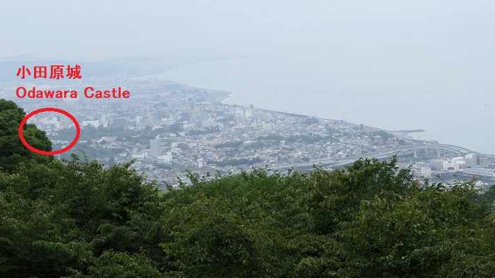
立地と歴史~Location and History
滝山城は現在の八王子市の多摩川南岸の河岸段丘上にありました。この城の起源は、戦国時代のいずれかの時点で大石氏によると言われていますが、1560年の上杉謙信の関東侵攻をきっかけとして、北条氏照が拡張、完成させました。この城の使命は、小田原城の防御線になることと、小田原と北関東とのルートを確保することでした。
Takiyama Castle was located on the southern bank terrace of Tamagawa River in what is now Hachioji City, Tokyo. The origin of the castle is said to be by the Oishi clan sometime in “Sengoku” or the Warring States Period, but Ujiteru Hojo improved and completed the castle, inspired by the Kenshin Uesugi’s Kanto invasion in 1560. The mission of the castle was to be the defense line for Odawara Castle and to hold the route between Odawara and the northern Kanto region.
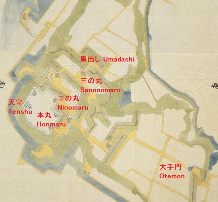
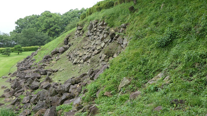
この城の北側は多摩川に沿って急な崖となっていて、攻めるには困難でした。この城の3つの主な通路は、川の反対側にある滝山街道につながっていました。これらの通路は全て二の丸に集まっていました。二の丸は防衛の中心拠点であり、桝形という方形の入り口と、馬出と呼ばれる障壁となる関門が通路に向かって設置されていました。
The northern side of the castle was a steep cliff along Tamagawa River which is difficult to attack. The three main routes to the castle were connected from the Takiyama Road, the opposite side of the river. The routes all gathered the Ninomaru enclosure. The enclosure was the defensive center which had square entrances called Masugata and gateway barriers called Umadashi heading towards these routes.
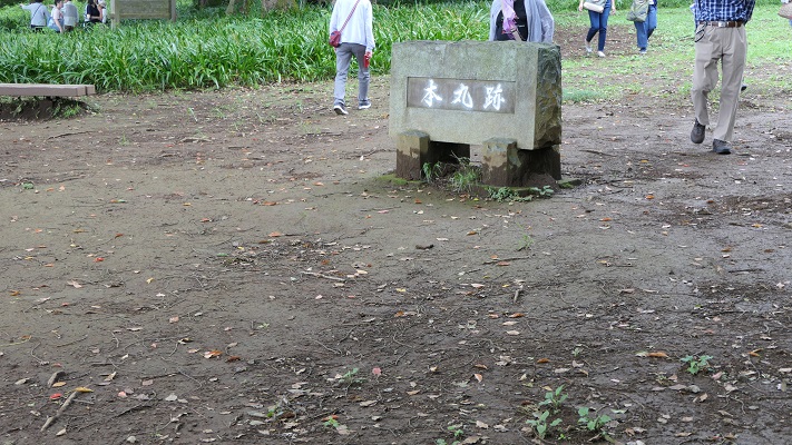
二の丸の後ろには、中の丸と本丸がありました。双方が曳橋という可動橋によってつながっており、緊急時には容易に取り外しが可能でした。本丸は、中心でかつ最後の曲輪となりますが、比較的小さいように思えます。歴史家は、そこが土豪が作ったこの城の最初の場所だったのだろうと推測しています。
The back of Ninomaru are Nakanomaru and Honmaru enclosures. Both were tied by a movable bridge called Hikihashi that could be removed easily for in emergency. Honmaru was the main and last enclosure which looked relatively small. Some historians speculate it could be the origin of the castle for a local clan.
1569年、甲斐(現在の山梨県)から武田信玄が北条の領地に侵入し、この城を攻撃しました。信玄は二の丸に迫りましたが、諦めて小田原の方に向かったと言われています。氏照は滝山城を守り切ったのです。
In 1569, Shingen Takeda from Kai Province (now Yamanashi Pref.) invaded Hojo’s territory and attacked the castle. It is said that Shingen approached Ninomaru, but gave up and transferred to Odawara. Ujiteru was successful in keeping Takiyama Castle.
1584年前後、氏照は城下町ごと八王子城の方に移っていきました。この理由は歴史家によって分かれています。一つは、武田との戦いの結果から北条がより強い城を必要としたというものです。もう一つは、1578年に謙信が死に、1582年に武田が滅亡したので滝山城はもう必要なくなったというものです。
Around 1584, Ujiteru moved to Hachioji Castle with the castle town. Historians’ opinion about the reason remain divided. One is that Hojo needed a stronger castle than Takiyama because of the result of battle with Takeda. The other is that there would be no need for Takiyama Castle after Kenshin died in 1578, and Takeda was destructed in 1582.
特徴~Features
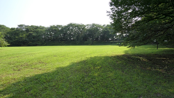
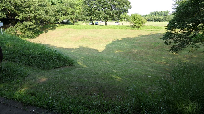
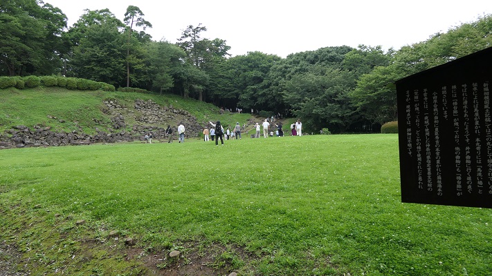
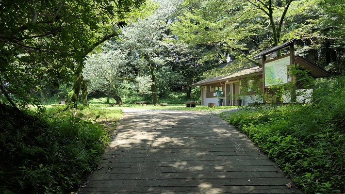
城周辺の航空写真~The aerial photo of around the castle現在、城跡は都立滝山公園という自然公園の一部になっています。木々、植物、そして花に囲まれたハイキングコースがあります。車かバスを使った場合には、三の丸と小宮曲輪に挟まれた通路から入っていきます。
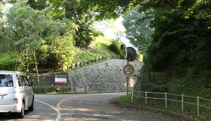
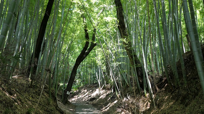
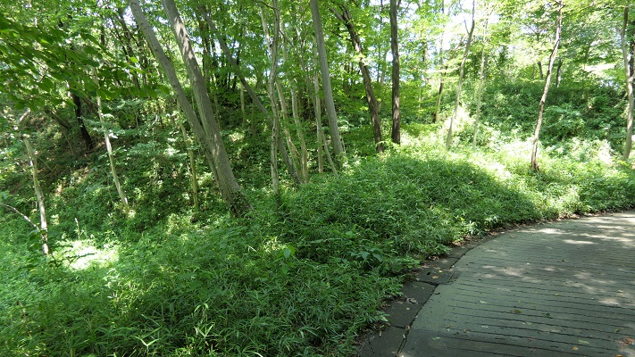
Now, the ruins of the castle are inside of a nature park called Metropolitan Takiyama Park. There are hiking trails among trees, plants and flowers. When using cars or buses, you will enter one of the routes sandwiched Sannnomaru and Komiya enclosures.
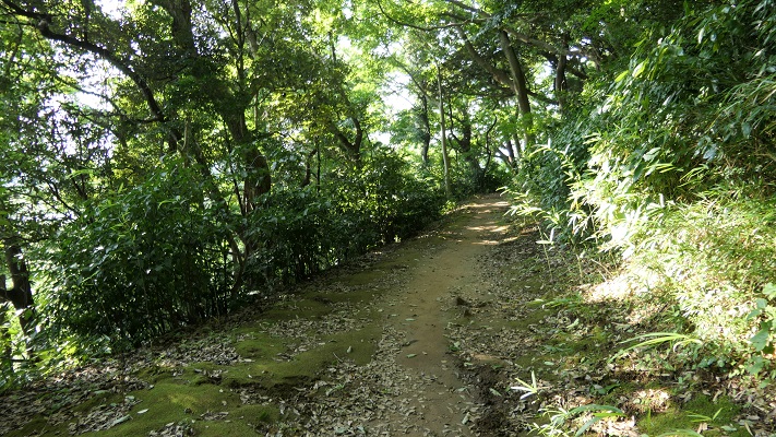
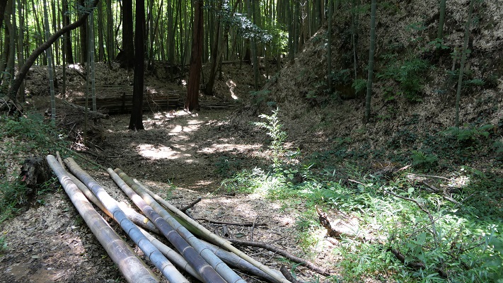
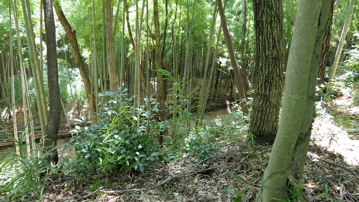
このルートは狭く、美しい竹林の合間をまっすぐ登っていきます。
The route is narrow and straight up among a beautiful bamboo forest.
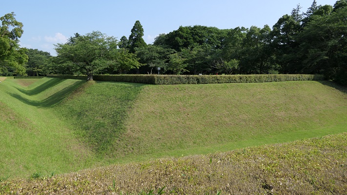
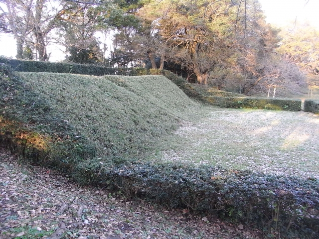
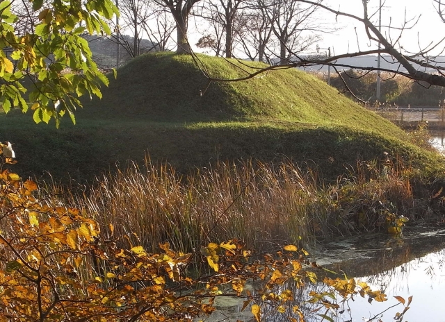
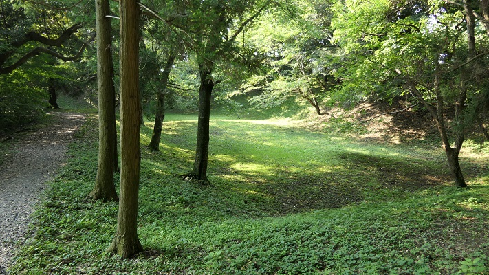
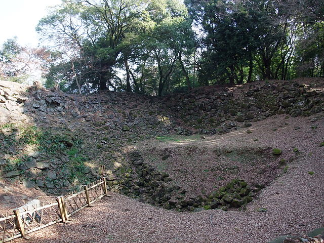
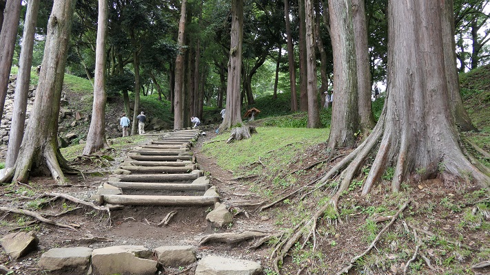
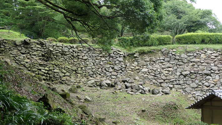
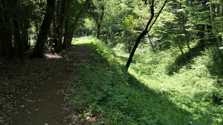
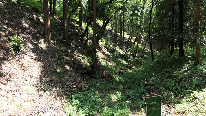
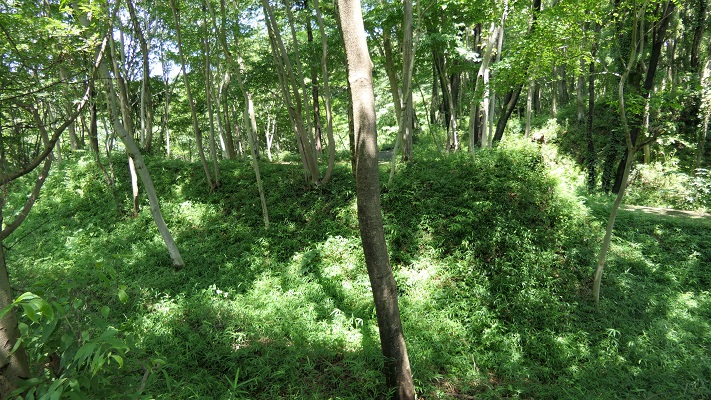
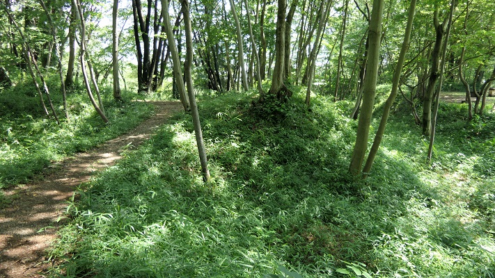
城跡の入り口は折れ曲がっていて、かつては城全体を囲んでいた長い空堀が目に入ってきます。
The entrance of ruins is zigzagged and you can see a long dry moat that surrounded the whole castle area in the past.
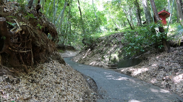
敵は、周りの曲輪による両側からの反撃を受けることになります。1569年の武田の攻撃によりこの辺りは占領されてしまったと言われています。
Enemies had to break counterattacks from both sides of the enclosures around. It is said that Takeda’s attack in 1569 was able to capture this area.
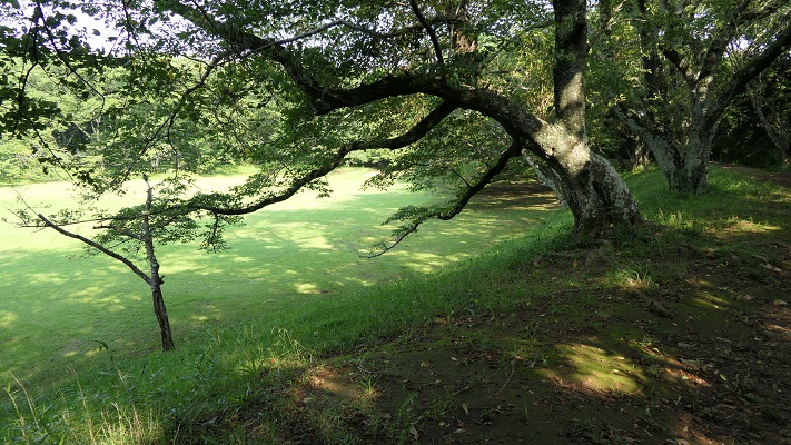
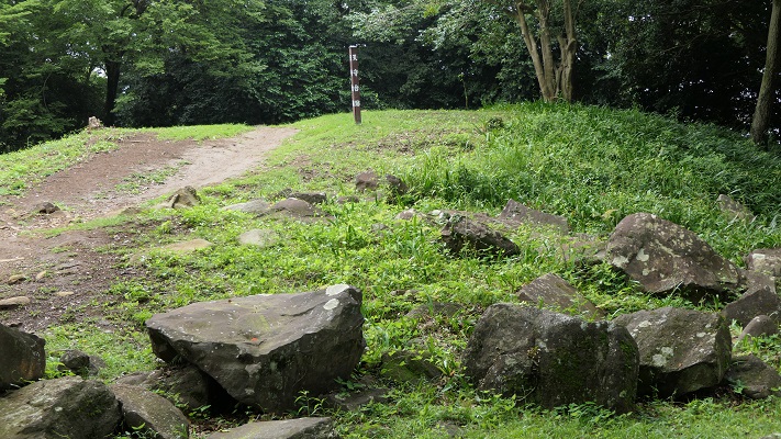
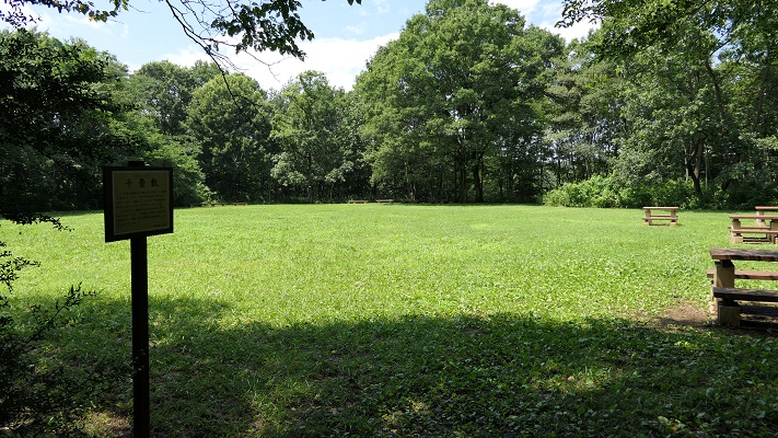
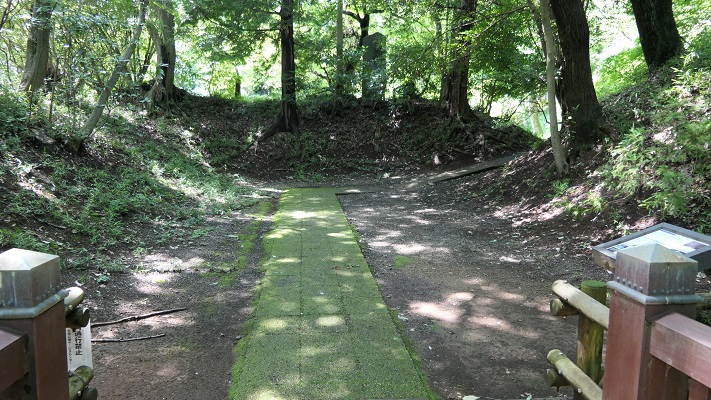
道は左手に深い谷を見ながら進み、千畳敷と呼ばれる広場を過ぎ、防御の中心拠点二の丸に至ります。ここには馬出しと桝形の遺構があります。
The route goes on next to a deep valley on your left. Then, passing a wide area called Senjojiki, you will reach the defense center Ninomaru. There are the ruins of Umadashi and Masugata.
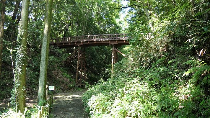
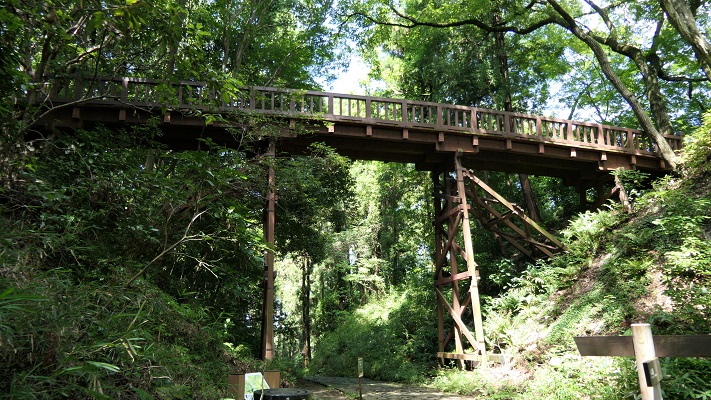
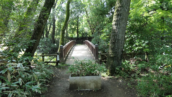
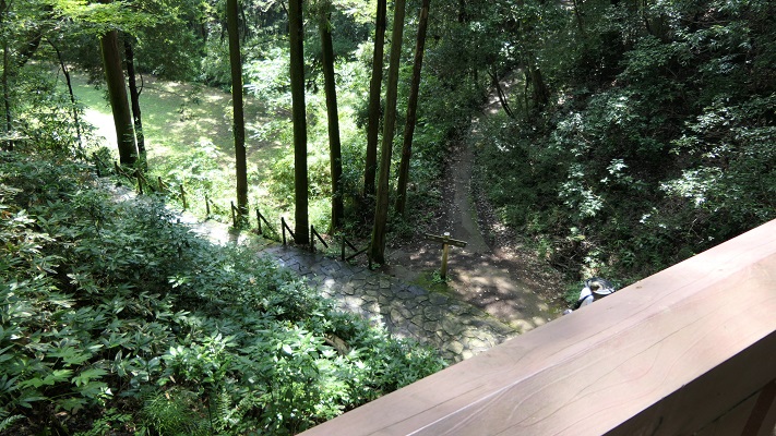
その後、中の丸と本丸の間にかかった曳橋が見えてきます。
After that, you can see the restored movable bridge between Nakanomaru and Honmaru.
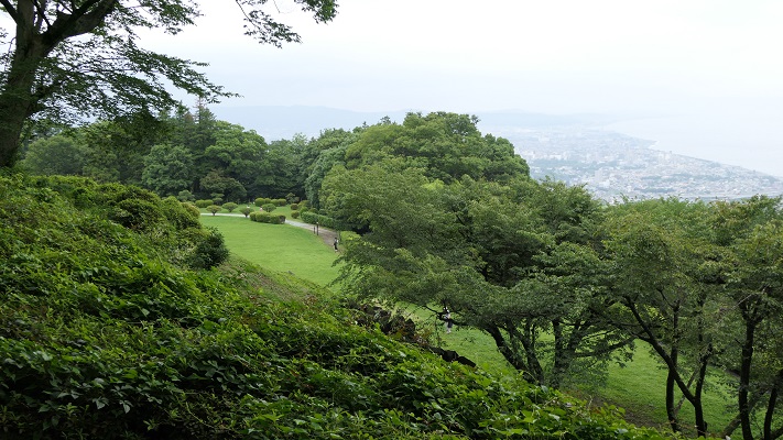
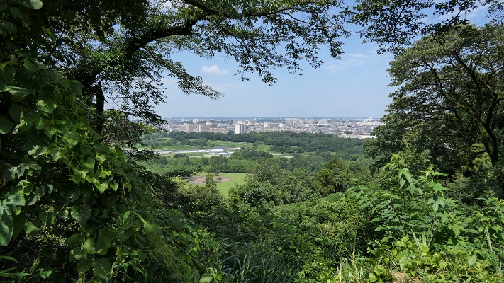
中の丸からは多摩川周辺の風景を眺めることができます。
You can also see a view of around Tamagawa River from Nakanomaru.
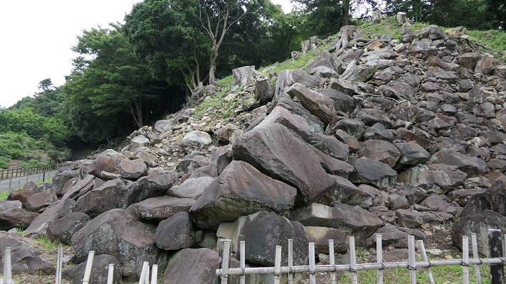
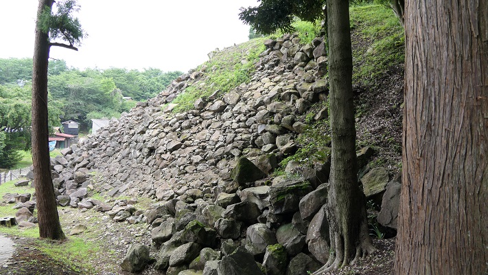
最近の発掘により、本丸には桝形があり、その床には自然石が敷き詰めてあり、排水の仕組みもあったとのことです。
The recent excavation found that Honmaru had a Masugata gate on the floor covered with natural river stones, and a draining system.
その後~Later History
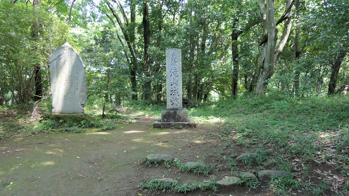
この城は、戦国時代のうちに放棄されました。そのため、当時の城の構造がよい状態で自然とともに残っているのです。城跡は、1951年に国の史跡にも指定されました。
The castle was abandoned during the Warring States Period. That’s why the structure of a castle at that time remains well with nature. The ruins were designated as a National Historic Site in 1951 as well.
私の感想~My Impression
城跡となっている場所は、主に自然公園として使われています。小道を歩き回っている観光客の人たちがたくさんいます。歴史ファンというよりは自然愛好家という感じです。これも史跡を活用する一つのやり方と思います。また、この城が自然の地形をうまく活用して作られたとも言えるでしょう。
The site of the castle ruins is mainly used as a natural park. You can see many tourists walking around the trails. They look like nature lovers rather than history fans. I think this is one of the ways to use historical sites. It also proves the castle was built using natural terrain very well.
ここに行くには~How to get There
車で行く場合:中央自動車道の八王子ICから約15分かかります。国道411号(滝山街道)沿いに観光駐車場があります。
JR八王子駅または京王八王子駅からバスで行く場合:戸吹、秋川駅、または戸吹スポーツ公園入口行きバスに乗り、滝山城址下バス停で降りてください。
If you want to go there by car: It takes about 15 minutes from the Hachioji IC on Chuo Expressway. There is the parking lot for tourists along Route 411 (Takiyama Road).
If you want to go there by bus from JR Hachioji station or Keio-Hachioji station: Take the bus for Tobuki, Akikawa-eki or Tobuki-sports-koen-iriguchi and take off at the Takiyama-joshi-shita bus stop.
リンク、参考情報~Links and References
・都立滝山公園・滝山城跡、八王子市~Hachioji City
・よみがえる滝山城(Only Japanese)
・「関東の名城を歩く 南関東編/峰岸純夫、齋藤慎一編」吉川弘文館(Japanese Book)
・「歴史群像37号、戦国の堅城・滝山城」学研(Japanese Magazine)
・「越山、上杉謙信侵攻と関東の城」埼玉県立嵐山史跡の博物館(Japanese illustrated book)